Landgasthaus Familie Planer - Rammersdorf - Pfarrkirche - Wilhelmsburg
mittel
Navigieren
Navigieren
Hol diese Tour auf dein Handy
Landgasthaus Familie Planer - Rammersdorf - Pfarrkirche - Wilhelmsburg
mittel
Rennrad
61,72
km
QR-Code scannen und Navigation in der bergfex App beginnen

Wandern & Tracking


Landgasthaus Familie Planer - Rammersdorf - Pfarrkirche - Wilhelmsburg
mittel
Distanz
61,72
km
Dauer
03:17
h
Aufstieg
823
hm
Seehöhe
253 -
626
m
Track-Download
Landgasthaus Familie Planer - Rammersdorf - Pfarrkirche - Wilhelmsburg
mittel
Rennrad
61,72
km
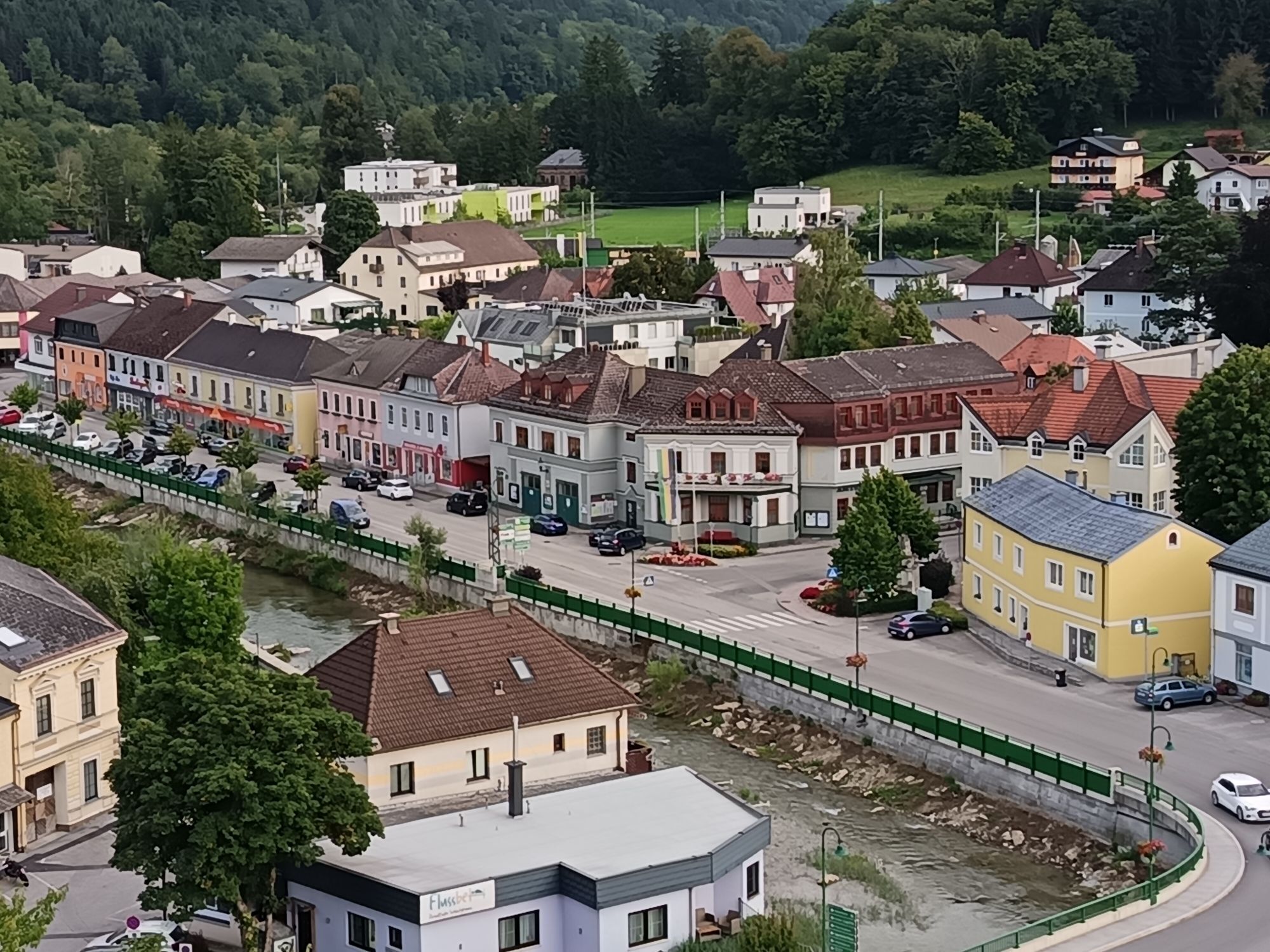
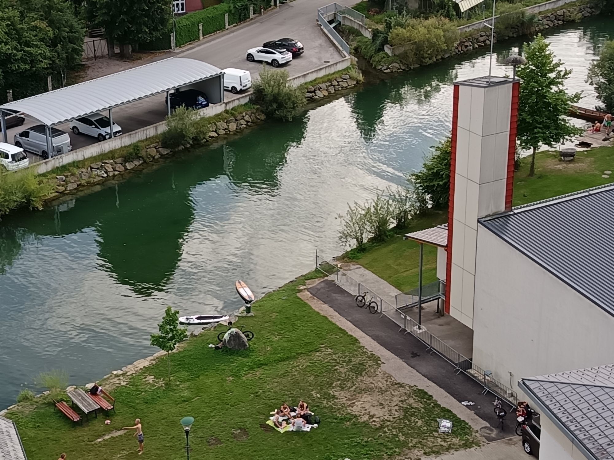
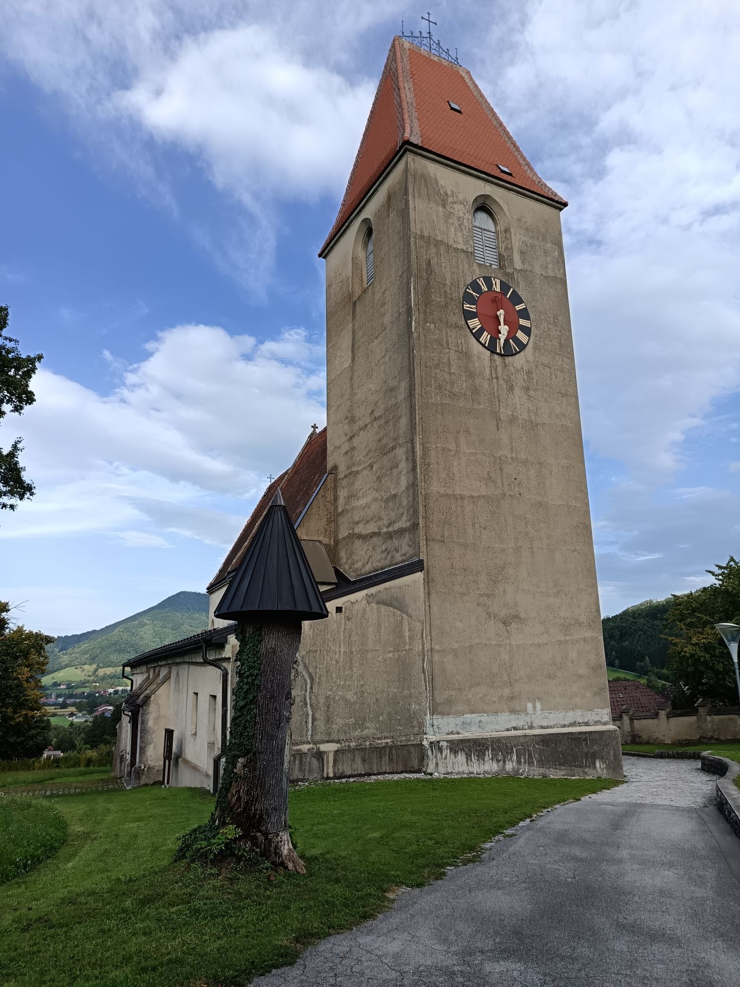
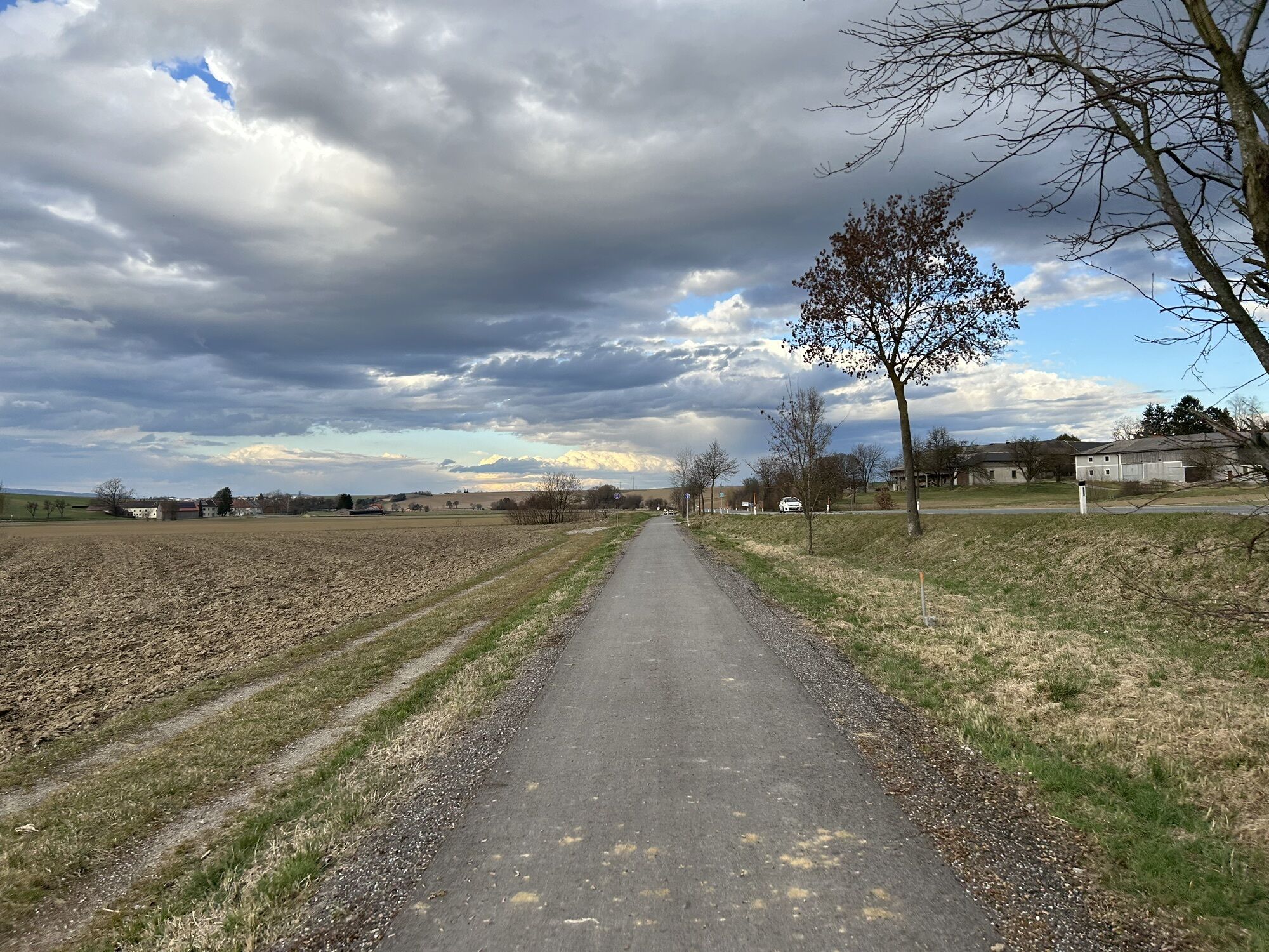
Fotos unserer User
-

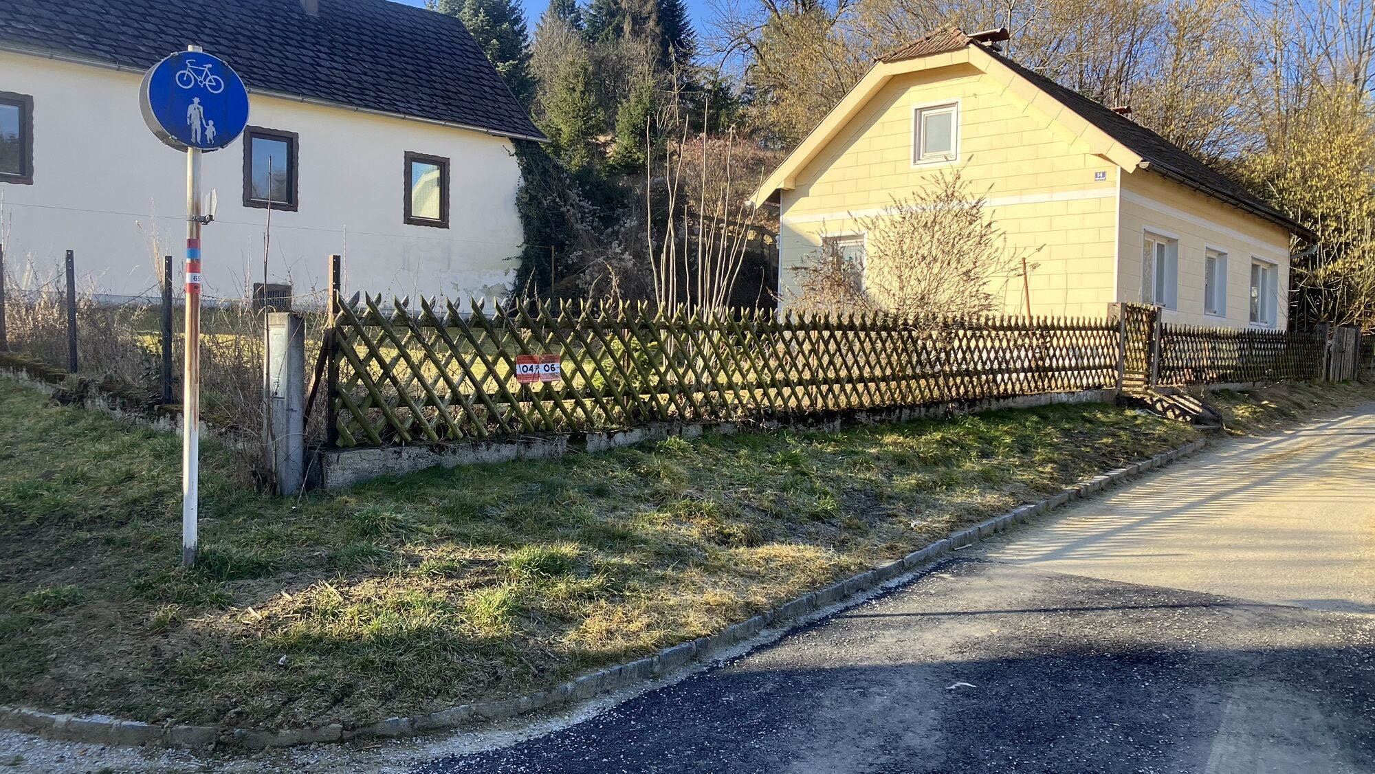
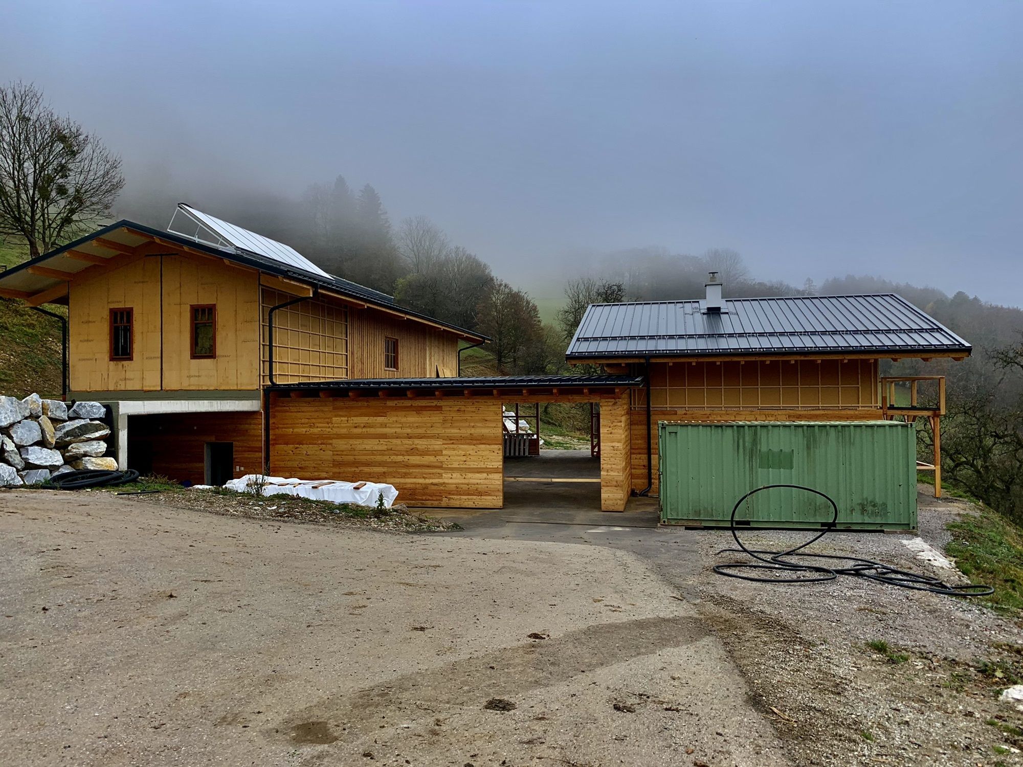
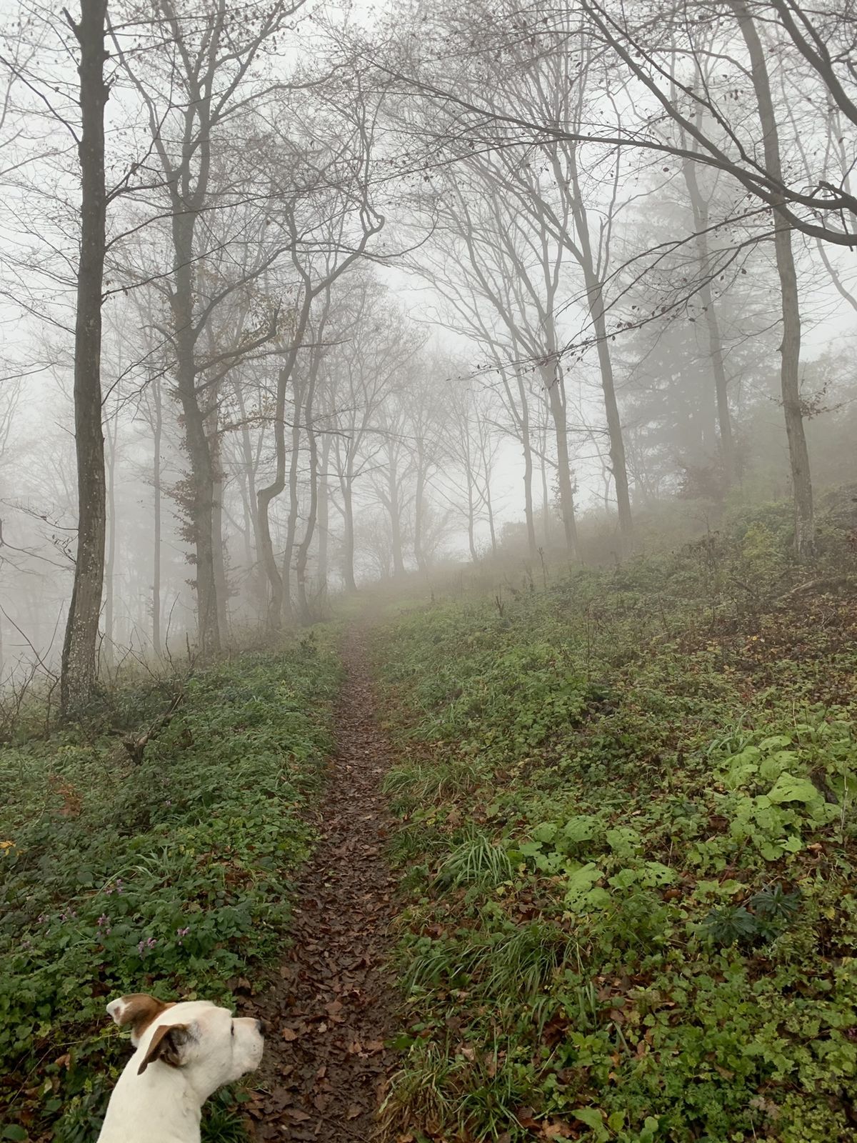
 © Elisabeth SiebererErstellt am 28.08.2025
 -
 © Elisabeth SiebererErstellt am 28.08.2025
 -
 © Elisabeth SiebererErstellt am 28.08.2025
 -
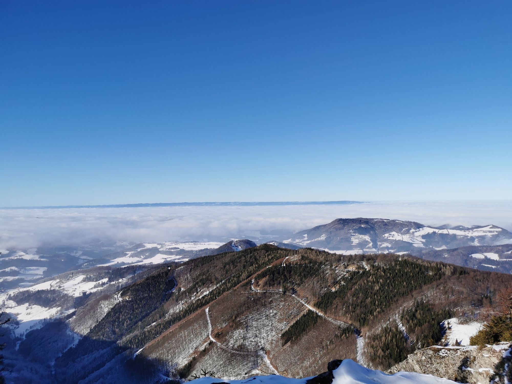
 © Josef HolzingerErstellt am 23.03.2025
 -

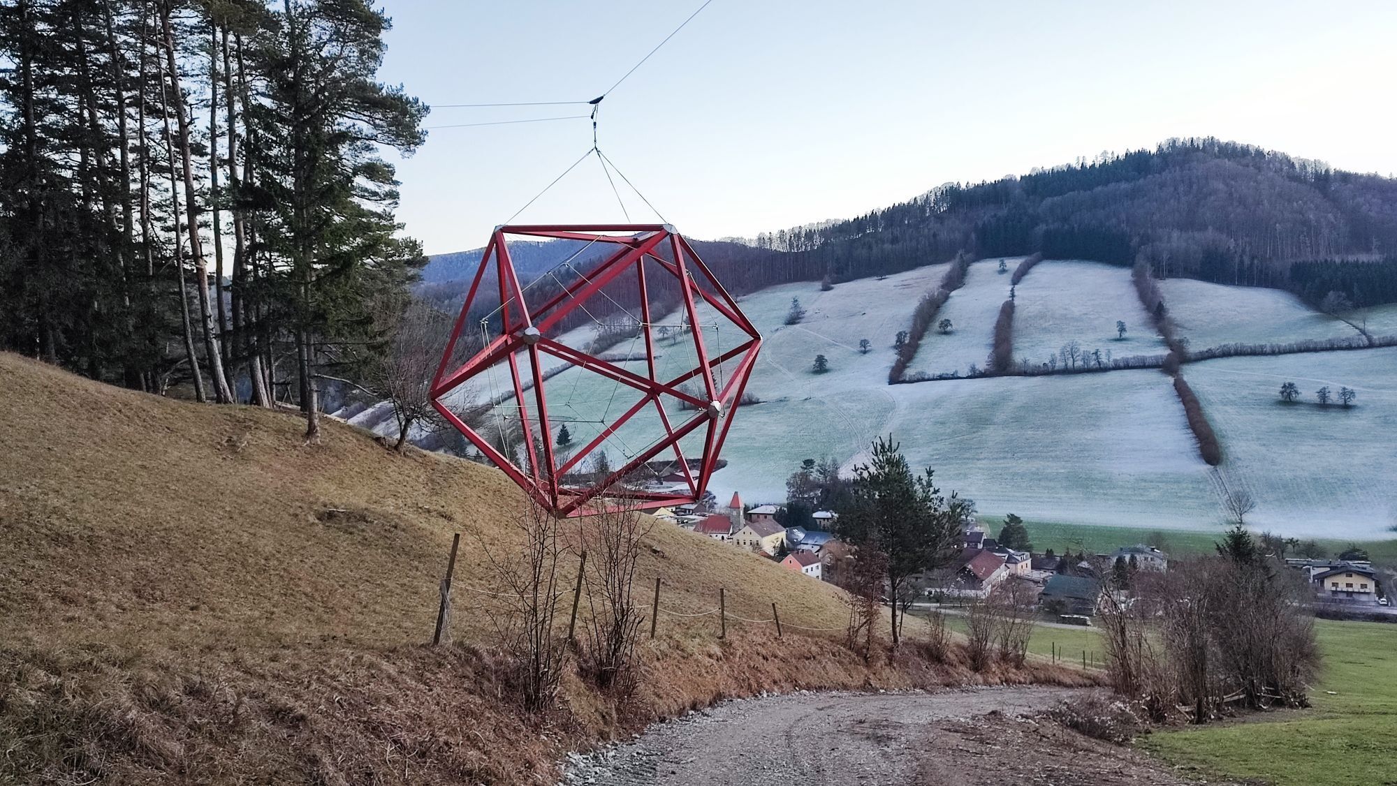
 © Christian KakuskaErstellt am 07.03.2025
 -

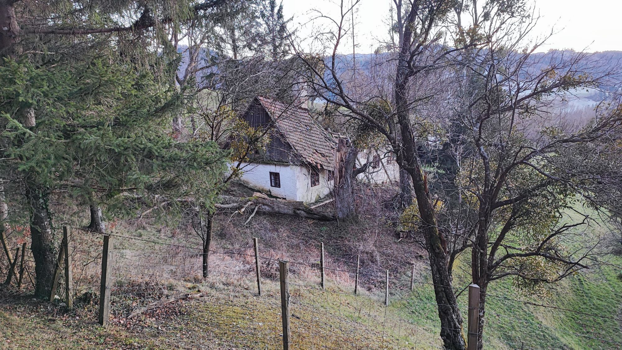
 © Johannes GrießlerErstellt am 19.01.2025
 -

 © Christian stergerErstellt am 29.12.2024
 -
 © Christian stergerErstellt am 29.12.2024
 -
 © Christian stergerErstellt am 29.12.2024
 -

 © Leo FahrngruberErstellt am 15.11.2020
 -
 © Leo FahrngruberErstellt am 15.11.2020

Wegverlauf
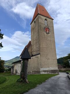
Pfarrkirche
(280 m)
Andachtsstätte
3,8 km
Klangen
(295 m)
Dorf
7,1 km
Wilhelmsburg
(321 m)
Stadt
16,4 km
Rotheau
(342 m)
Siedlung
20,5 km
Kirchberg an der Pielach
(370 m)
Dorf
36,3 km
Maierhöfen
(343 m)
Siedlung
48,1 km
Bischofstetten
(268 m)
Dorf
57,5 km
Wegverlauf
Landgasthaus Familie Planer - Rammersdorf - Pfarrkirche - Wilhelmsburg
mittel
Rennrad
61,72
km
Landgasthaus Familie Planer
(258 m)
Restaurant
0,0 km
Rammersdorf
(257 m)
Siedlung
0,1 km
Wilhersdorf
(269 m)
Siedlung
1,2 km
Grub
(285 m)
Siedlung
2,1 km
Pfarrkirche
(280 m)
Andachtsstätte
3,8 km
Ober-Grafendorf
(280 m)
Dorf
3,8 km
Willersdorf
(287 m)
Siedlung
5,2 km
Wantendorf
(289 m)
Siedlung
5,9 km
Klangen
(295 m)
Dorf
7,1 km
Klangen
(297 m)
Bahnhof
7,5 km
Gasthof Gansberger
(308 m)
Restaurant
8,4 km
Weinburg
(308 m)
Dorf
8,4 km
Gasthaus Gapp
(308 m)
Restaurant
8,4 km
Waasen
(305 m)
Dorf
9,1 km
Landgasthof Kammerhof
(309 m)
Restaurant
9,7 km
Kammerhof
(308 m)
Siedlung
9,8 km
Aigelsbach
(317 m)
Siedlung
10,4 km
Grubtal
(371 m)
Siedlung
14,5 km
Sonnenberg
(351 m)
Siedlung
15,5 km
Wilhelmsburg
(321 m)
Stadt
16,4 km
Altenburg
(372 m)
Stadtteil
18,4 km
Göblasbruck
(331 m)
Stadtteil
18,5 km
Altenburg
(356 m)
Siedlung
20,0 km
Rotheau
(342 m)
Siedlung
20,5 km
Steubach
(368 m)
Siedlung
22,2 km
Eschenau
(391 m)
Dorf
23,7 km
Löfflmühl
(407 m)
Siedlung
24,5 km
Grafenmühl
(456 m)
Siedlung
24,7 km
Tradigist
(391 m)
Dorf
32,1 km
Tradigistdorf
(377 m)
Siedlung
33,0 km
Kirchberg an der Pielach
(370 m)
Dorf
36,3 km
Skywalk
(382 m)
Aussichtspunkt
36,8 km
Marbach
(411 m)
Dorf
38,2 km
Kirchberggegend
(457 m)
Dorf
38,7 km
Hohenbrand
(537 m)
Flur/Gelände
43,1 km
Gartling
(383 m)
Flur/Gelände
46,3 km
Kettenreith
(348 m)
Dorf
47,6 km
Maierhöfen
(343 m)
Siedlung
48,1 km
Kilb
(302 m)
Dorf
51,9 km
Waasen bei Kilb
(290 m)
Siedlung
53,4 km
Oberweg
(270 m)
Siedlung
56,1 km
Hanau
(271 m)
Siedlung
56,6 km
Unterweg
(268 m)
Siedlung
56,6 km
Tonach
(264 m)
Siedlung
57,2 km
Zur Krumpe
(265 m)
Restaurant
57,2 km
Cafe & Gasthaus Frischauf
(263 m)
Restaurant
57,5 km
Bischofstetten
(268 m)
Dorf
57,5 km
Hintergrub
(264 m)
Siedlung
58,4 km
Haag
(261 m)
Siedlung
59,7 km
Rammersdorf
(257 m)
Siedlung
61,6 km
Landgasthaus Familie Planer
(258 m)
Restaurant
61,7 km
Noch keine Bewertungen
Beliebte Touren in der Nähe
-
4,9
Hohenstein von Sois
mittelWanderung 12,0 km -
4,8
LILIENFELD Grünes Tor Muckenkogel Hinteralm Klosteralm 20201025
mittelWanderung 11,7 km -
4,6
Eisenstein Rundweg von Türnitz-Knedelhof
leichtWanderung 10,2 km -
4,4
Kaiserkogel mit Start und Ziel in Eschenau
leichtWanderung 10,2 km -
4,4
Hohenstein 1195m - Sois im Pielachtal
leichtWanderung 10,6 km -
4,5
Rundweg Ochsenburgerhütte
leichtWanderung 7,60 km -
4,2
Grüntalkogelhütte
leichtWanderung 5,11 km -
4,3
Lilienfeld Kolm Hinteralm Traisenhütte 20.02.2017 leichte Schitour
leichtSkitour 11 km -
4,8
Schrambach Hohenstein Himmel Schrammbach 06.08.2016
mittelWanderung 17 km -
4,8
Kaiserkogel
leichtWanderung 6,03 km

Wandern & Tracking

Über 550.000 Tourenvorschläge, detailliertes Kartenmaterial und ein intuitiver Routenplaner machen die App zum Must-have für alle Naturbegeisterten.

Verpasse keine Angebote und Inspirationen für deinen nächsten Urlaub
Zum Newsletter anmelden
Fehler
Ein Fehler ist aufgetreten. Bitte versuche es erneut.
Vielen Dank für deine Anmeldung
Deine E-Mail-Adresse wurde in den Verteiler eingetragen.
Touren in ganz Europa
Österreich
Schweiz
Deutschland
Italien
Slowenien
Frankreich
Niederlande
Belgien
Polen
Liechtenstein
Tschechien
Slowakei
Spanien
Kroatien
Bosnien und Herzegowina
Luxemburg
Andorra
Portugal
Island
Vereinigtes Königreich
Irland
Griechenland
Albanien
Nordmazedonien
Malta
Norwegen
Montenegro
Moldau
Kosovo
Ungarn
San Marino
Rumänien
Estland
Lettland
Belarus
Zypern
Litauen
Serbien
Bulgarien
Monaco
Dänemark
Schweden
Finnland