


Rundweg Puck Bründl - Engelsdorf
Fotos unserer User
 © Bernhard KelcErstellt am 01.11.2022
 © lisale1967Erstellt am 17.09.2025
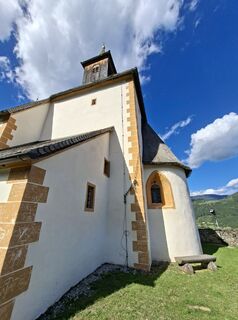 © lisale1967Erstellt am 17.09.2025
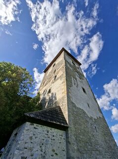 © lisale1967Erstellt am 17.09.2025
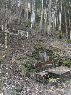
 © SchmurtilErstellt am 09.03.2025
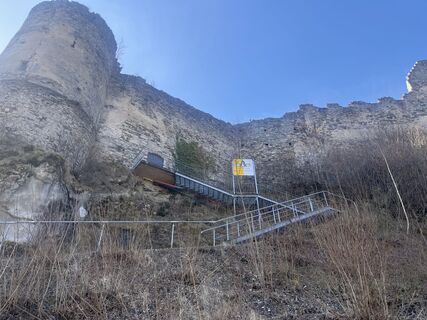 © SchmurtilErstellt am 09.03.2025
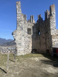 © SchmurtilErstellt am 09.03.2025
 © SchmurtilErstellt am 09.03.2025
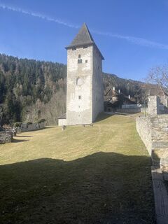 © SchmurtilErstellt am 09.03.2025
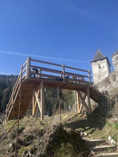 © SchmurtilErstellt am 09.03.2025
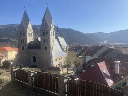 © SchmurtilErstellt am 09.03.2025
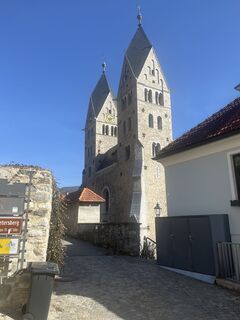 © SchmurtilErstellt am 09.03.2025
 © Bernhard KelcErstellt am 01.11.2022
 © Bernhard KelcErstellt am 01.11.2022
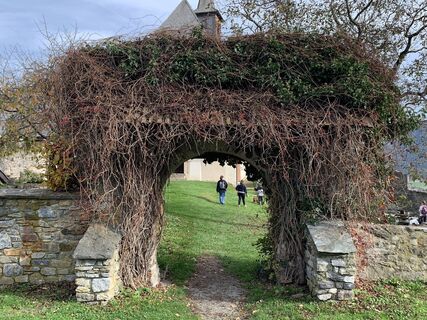 © Bernhard KelcErstellt am 01.11.2022
 © Bernhard KelcErstellt am 01.11.2022
 © Bernhard KelcErstellt am 01.11.2022
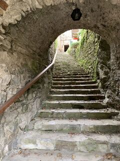 © Bernhard KelcErstellt am 01.11.2022
 © Bernhard KelcErstellt am 01.11.2022
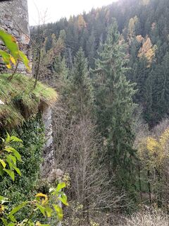 © Bernhard KelcErstellt am 01.11.2022
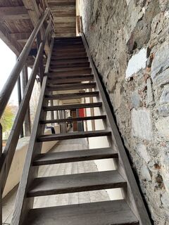 © Bernhard KelcErstellt am 01.11.2022
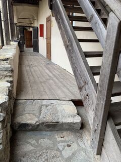 © Bernhard KelcErstellt am 01.11.2022
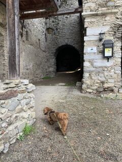 © Bernhard KelcErstellt am 01.11.2022


It offers a picturesque hike through the diverse landscape of Central Carinthia. The starting point is Puck Bründl, where the path leads through gentle hills and idyllic forests. Along the way, there are...
It offers a picturesque hike through the diverse landscape of Central Carinthia. The starting point is Puck Bründl, where the path leads through gentle hills and idyllic forests. Along the way, there are magnificent views of the surrounding nature and the Carinthian mountains.
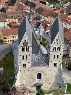
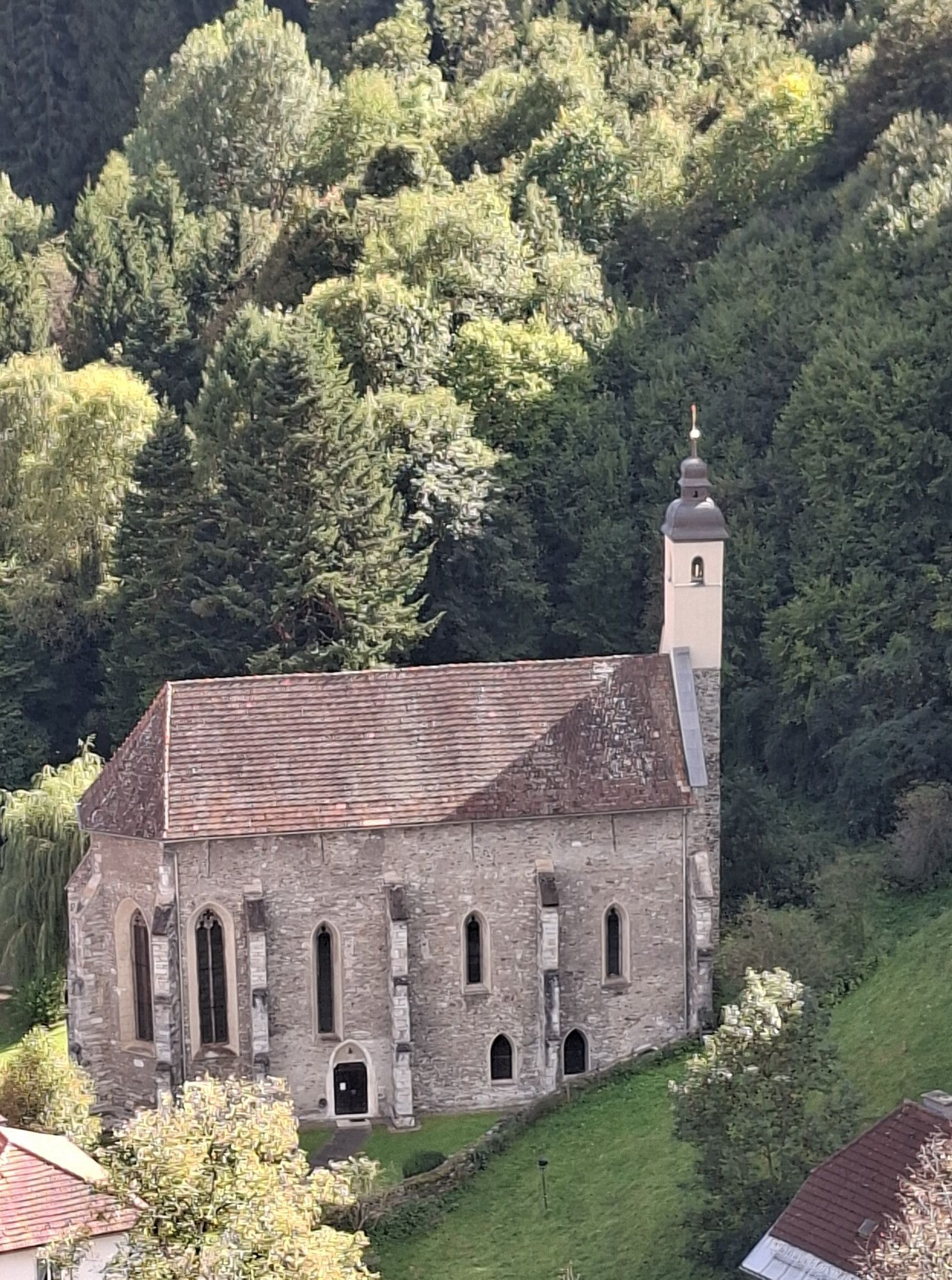
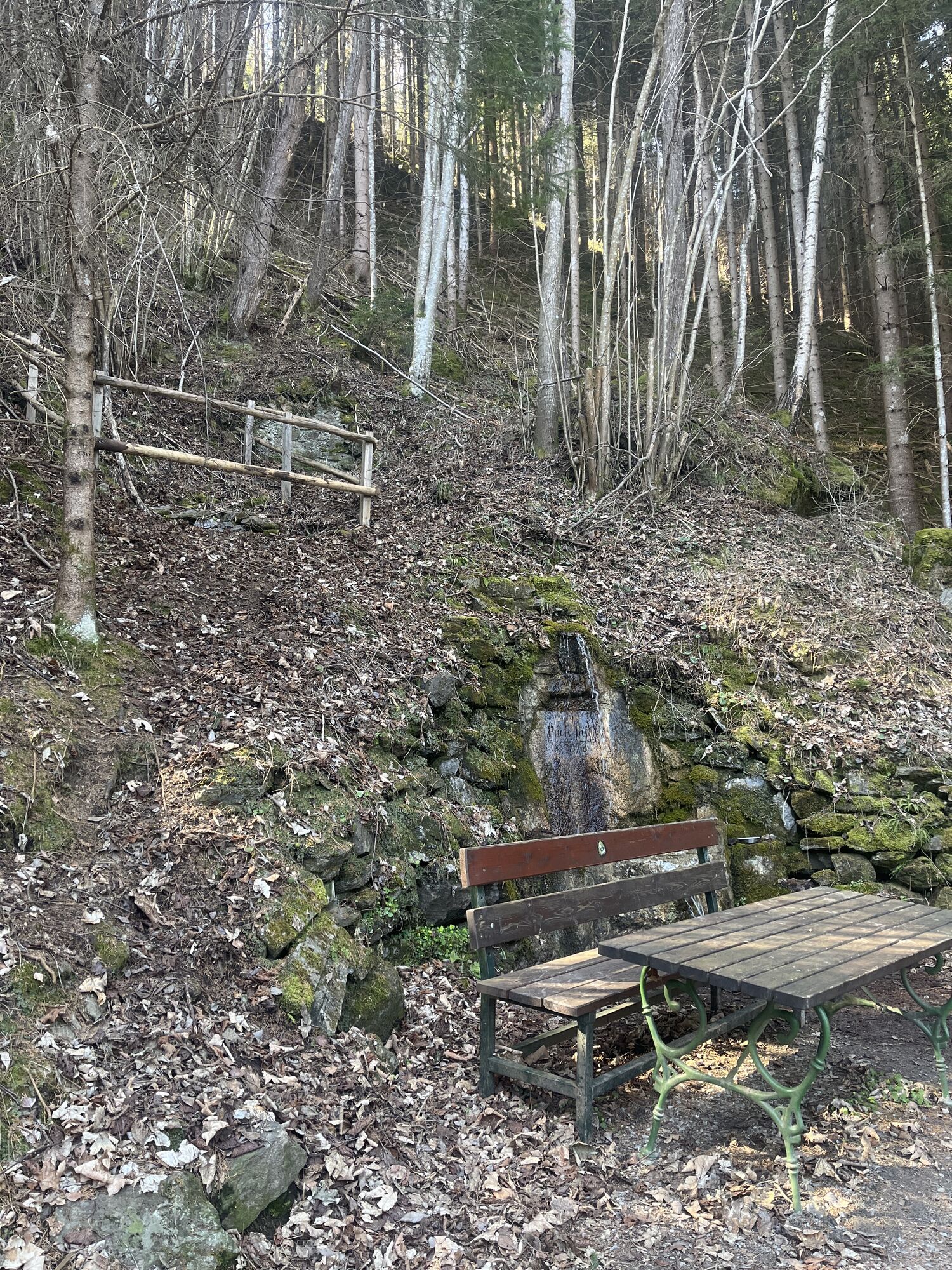
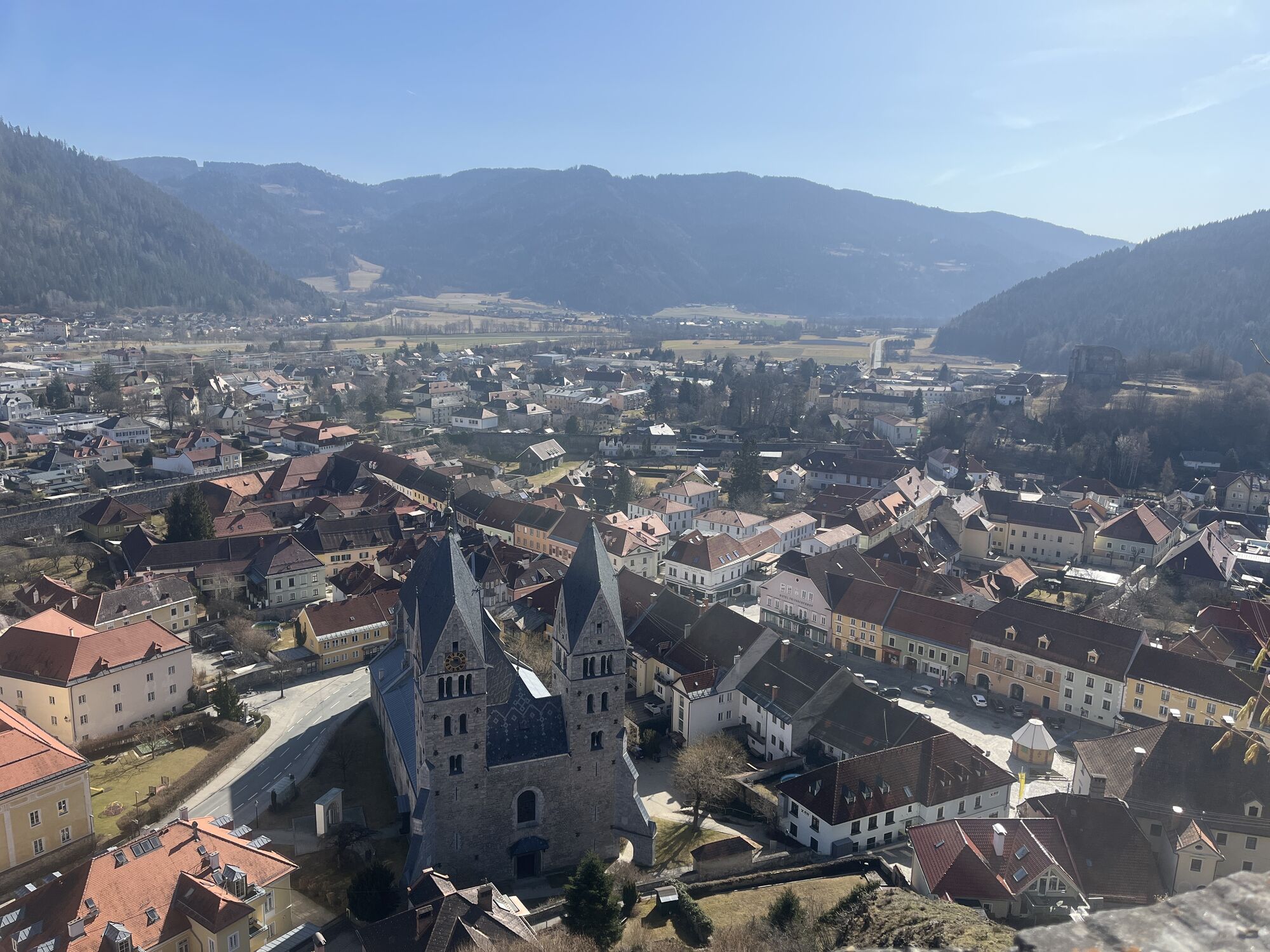
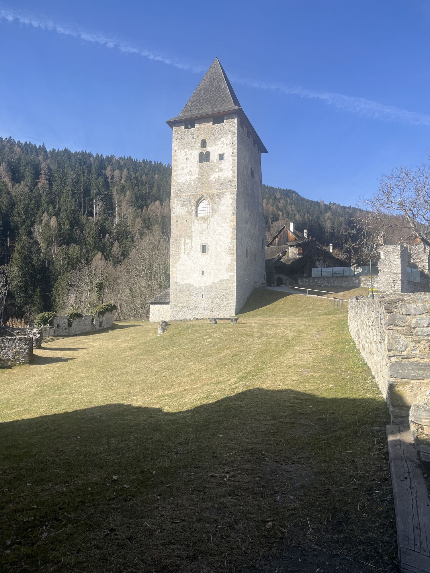
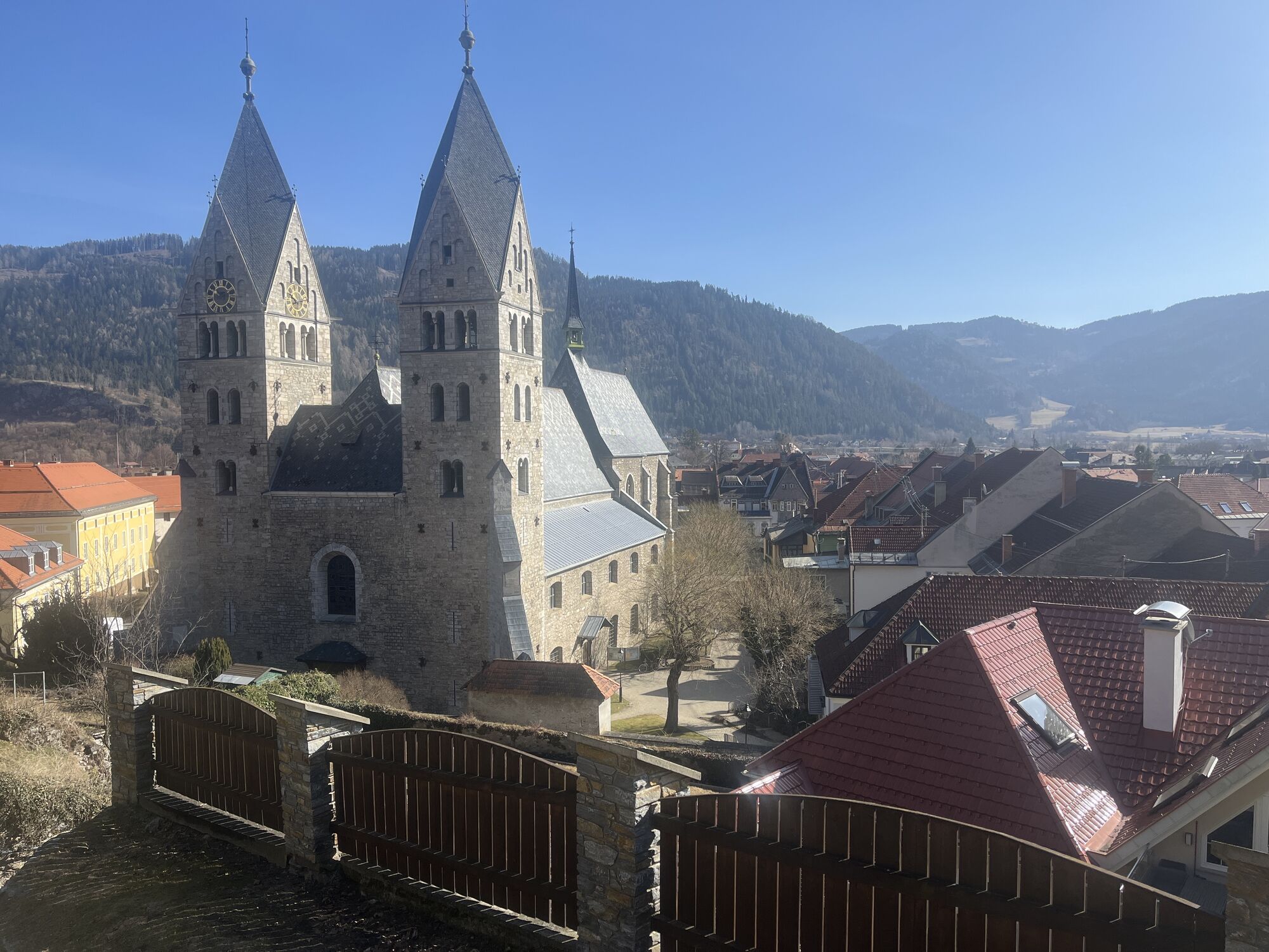
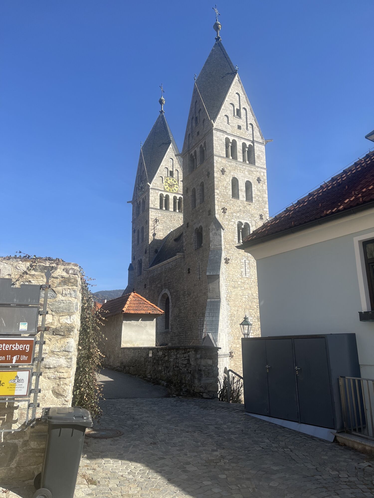
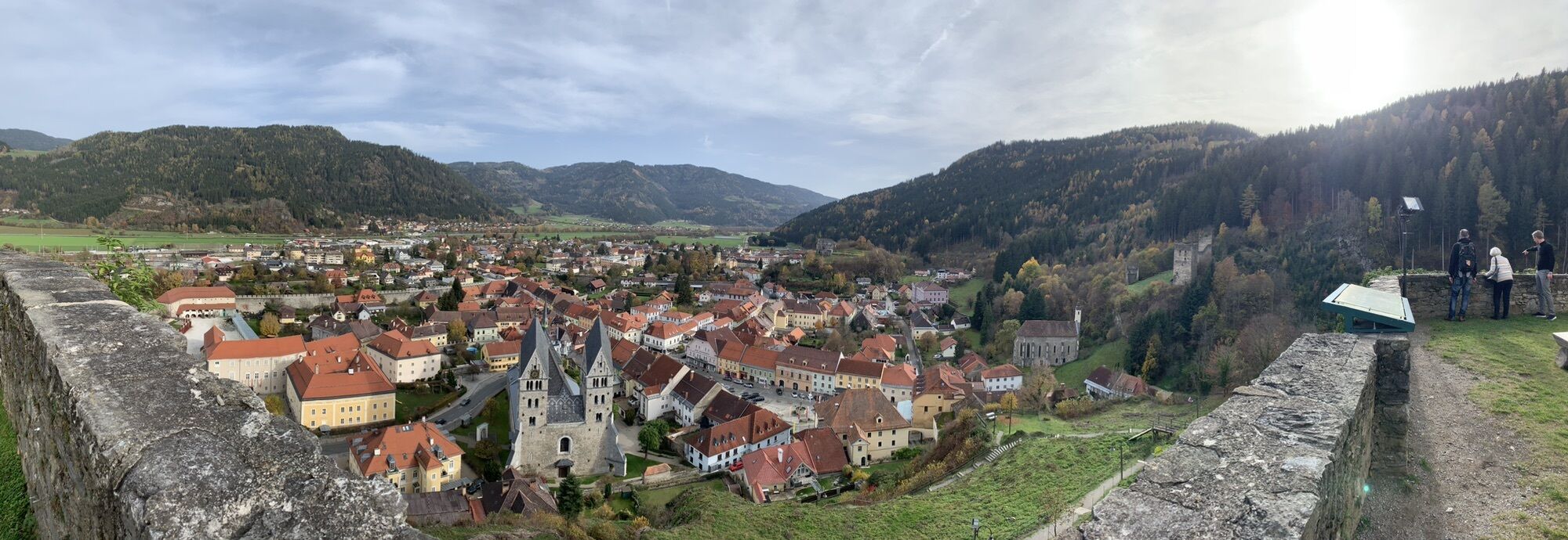
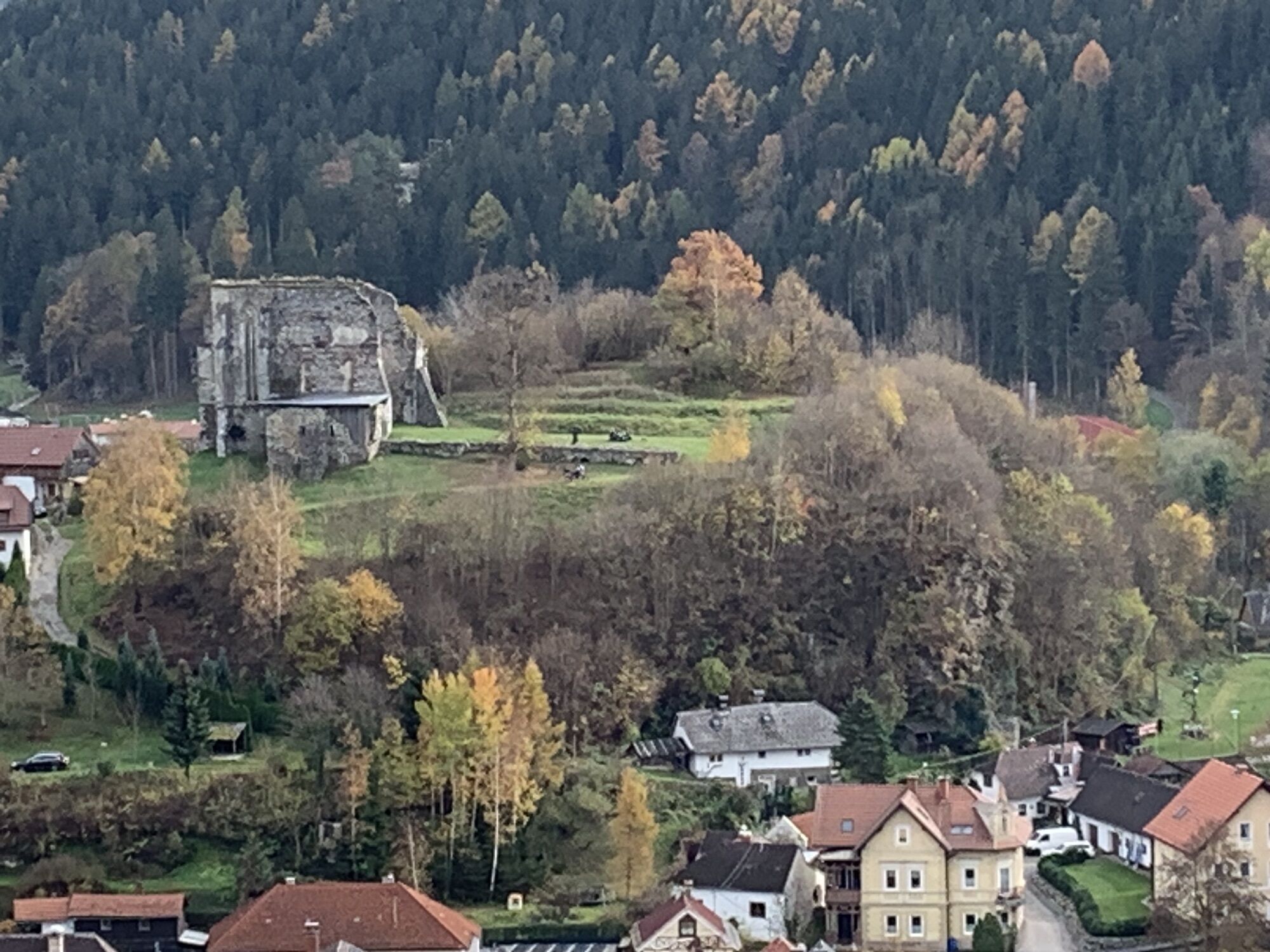
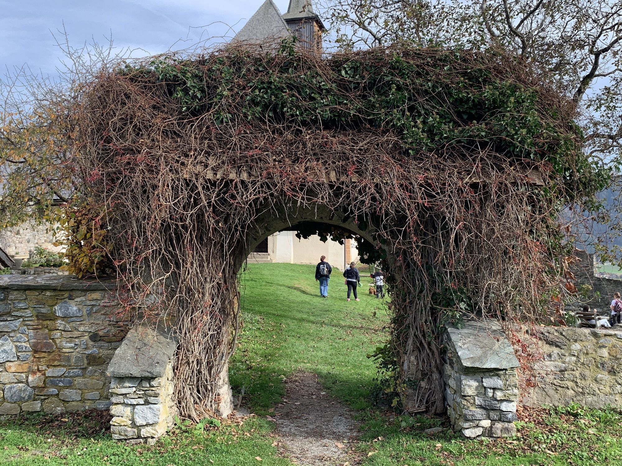
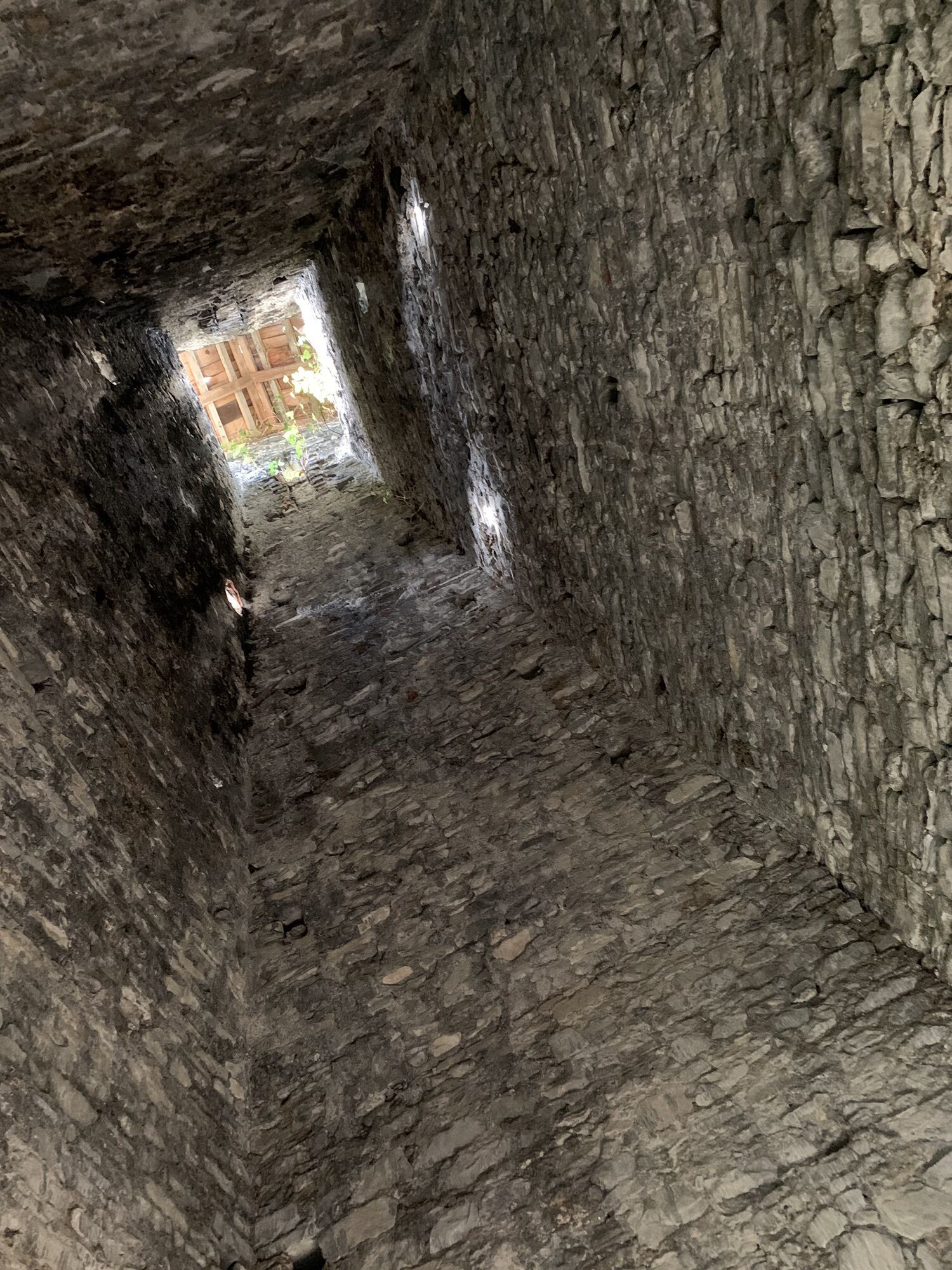
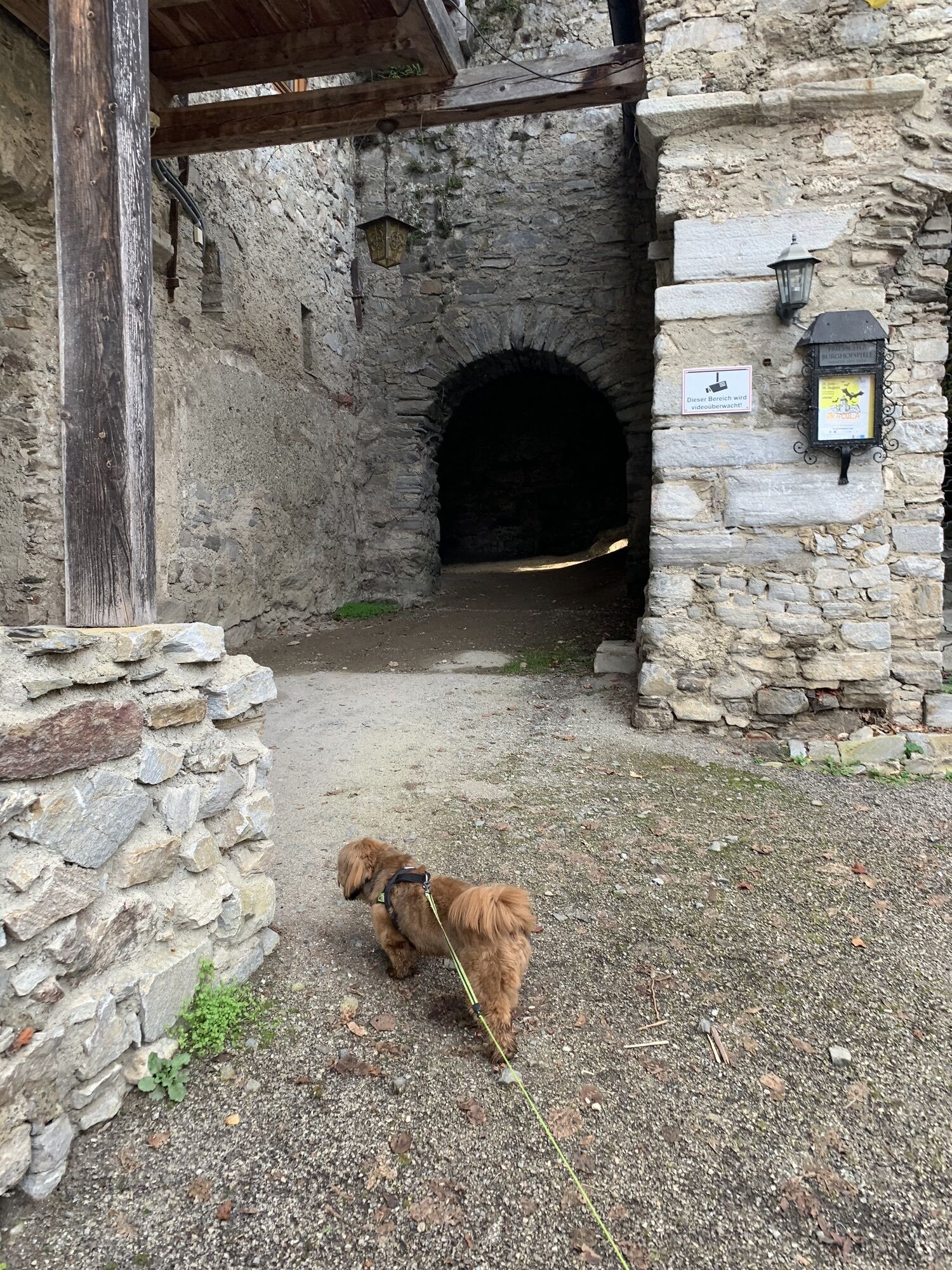
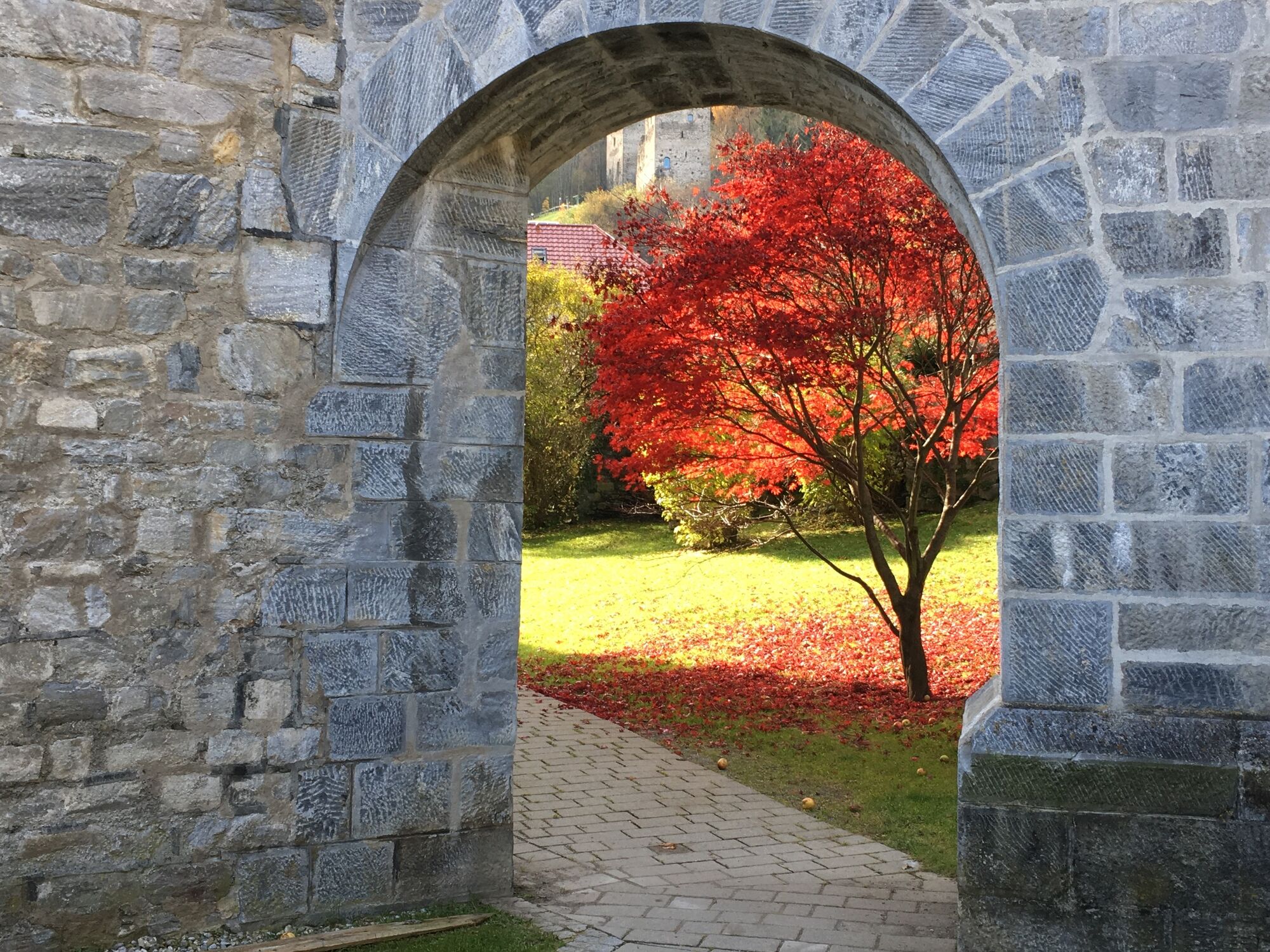
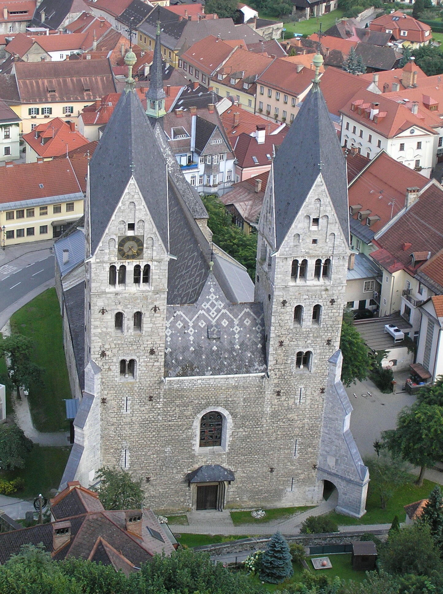
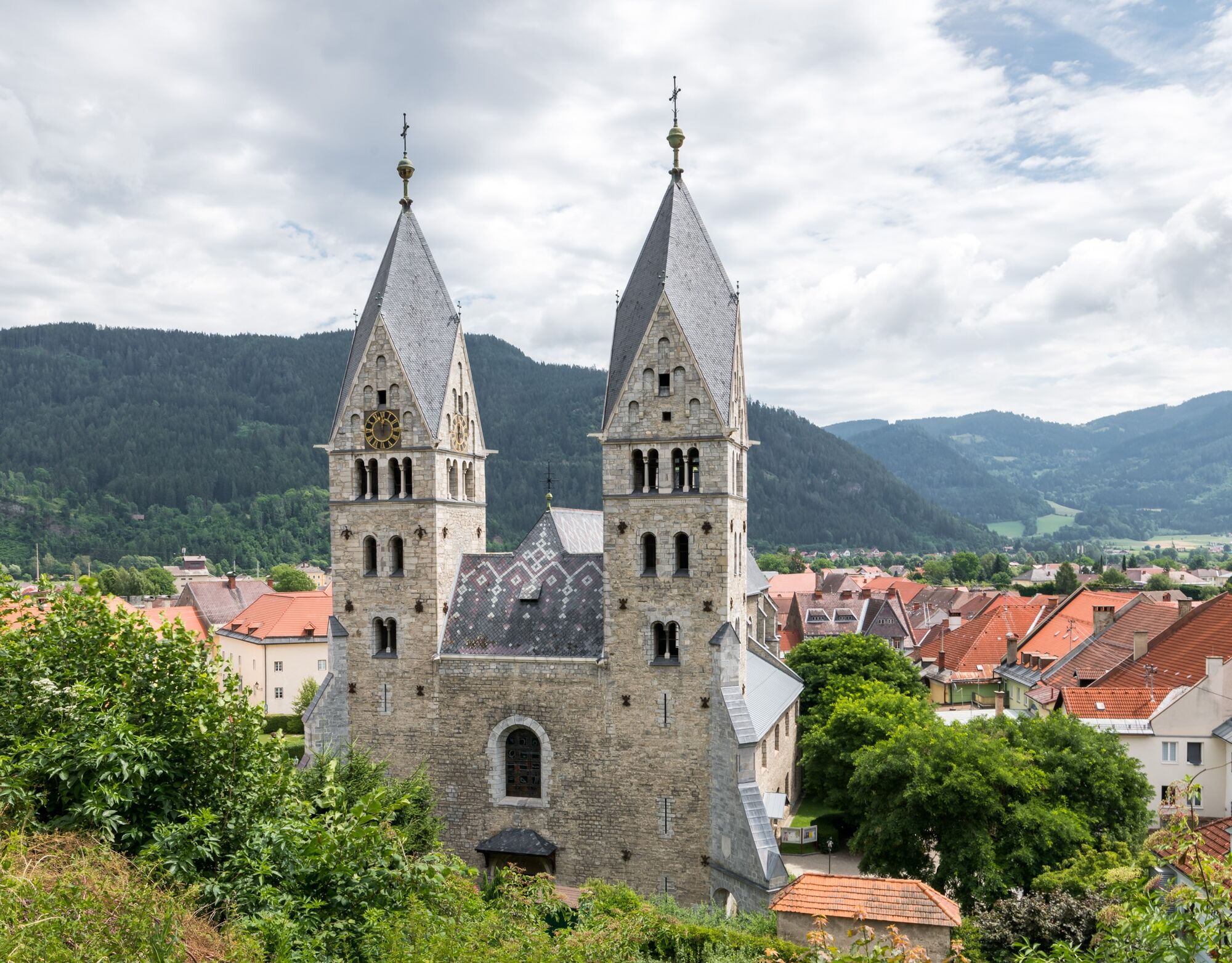
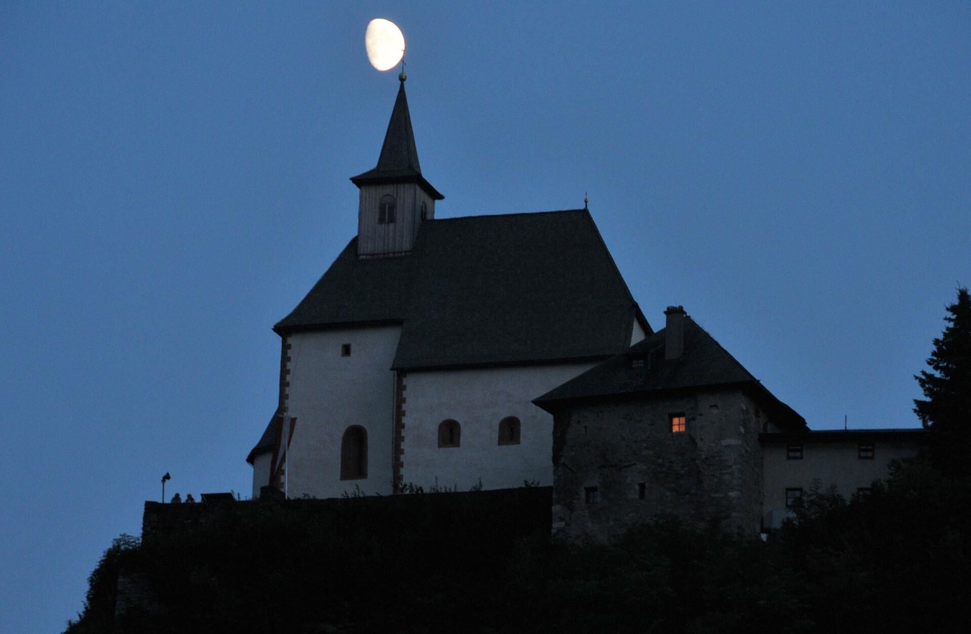
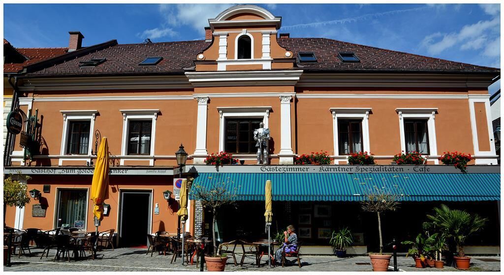
The route passes traditional farms and small chapels that provide insight into the regional culture. Particularly worth seeing is the ascent to Engelsdorf, which is rewarded with a panoramic view over the landscape. Rest areas along the path invite you to linger and offer the possibility to enjoy the tranquility of nature.
It is suitable for hikers of all experience levels and is ideal for family outings and nature enthusiasts who want to explore the beauty of Central Carinthia. It is a picturesque hike through the idyllic landscape of Central Carinthia, appealing equally to nature lovers and hiking enthusiasts.

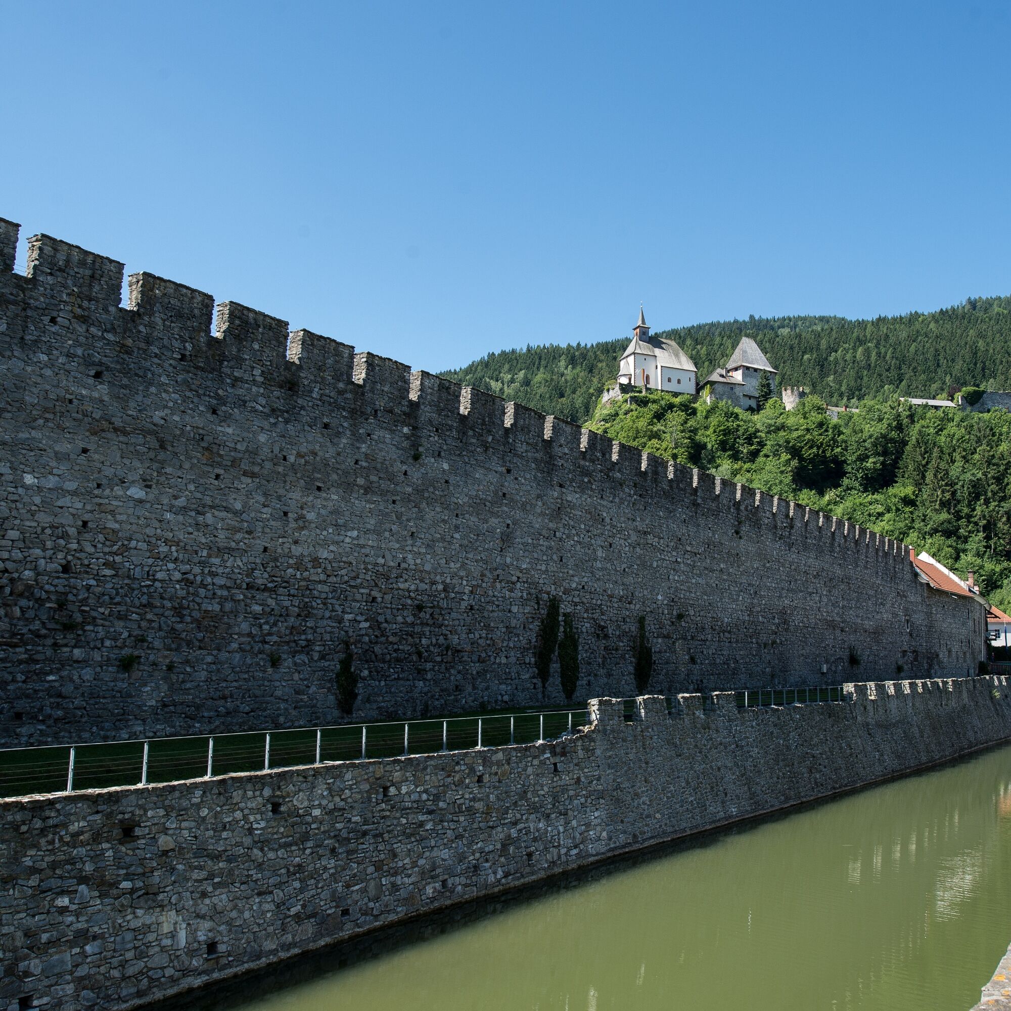
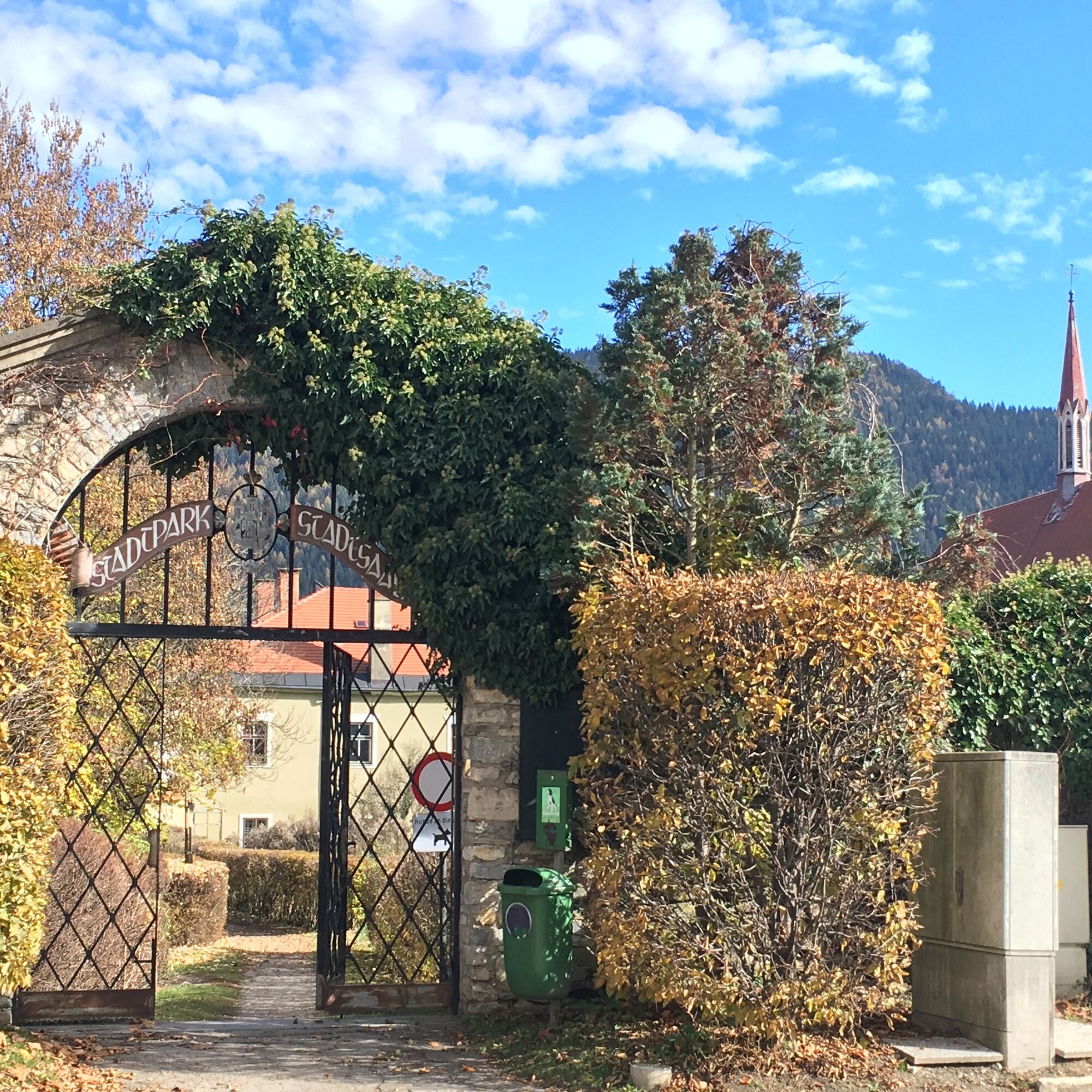
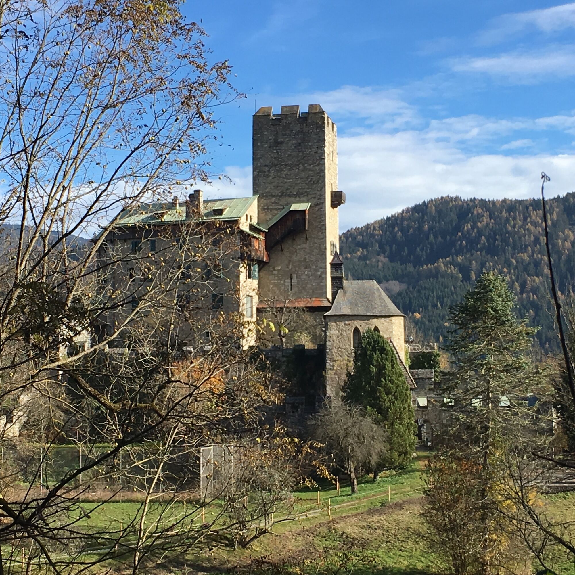
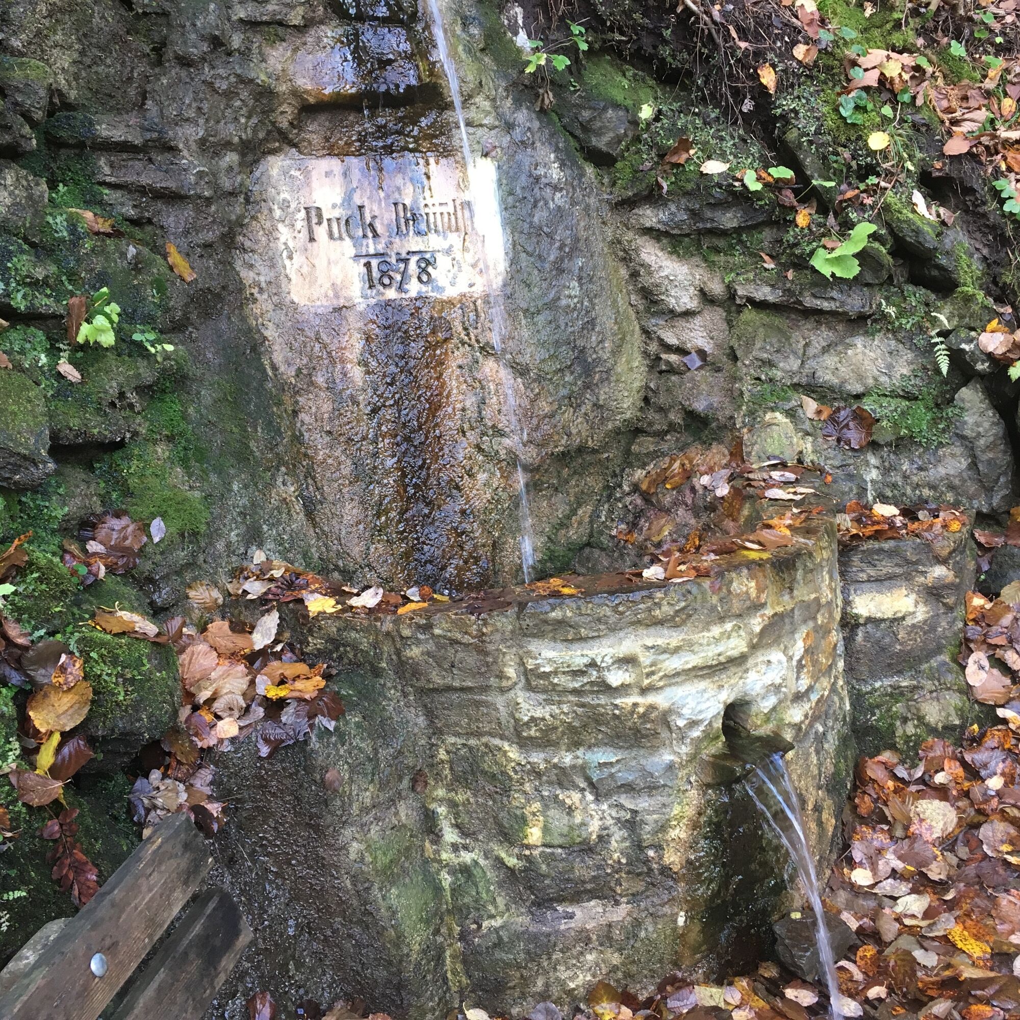
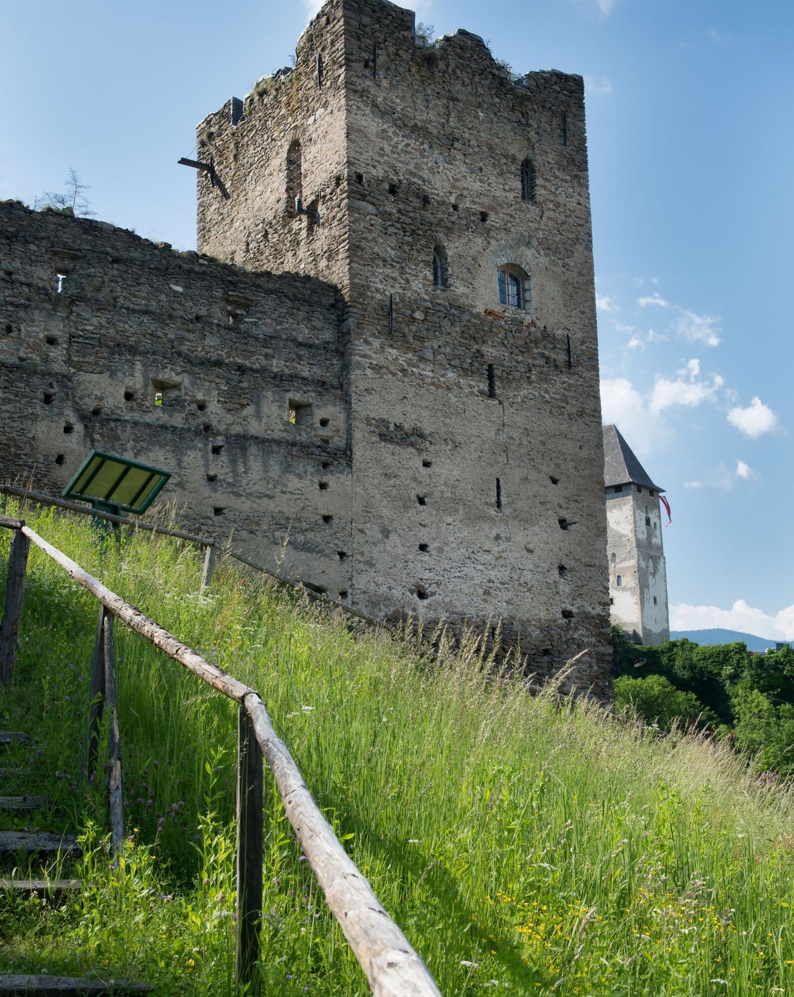
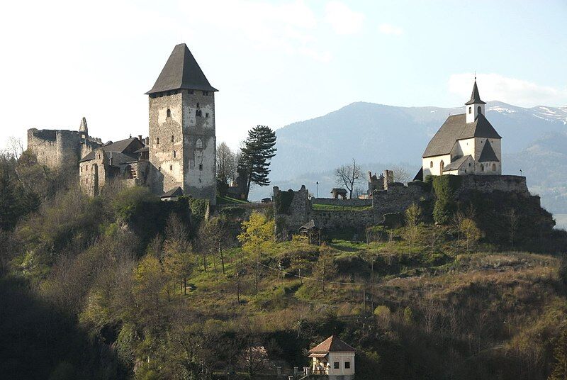
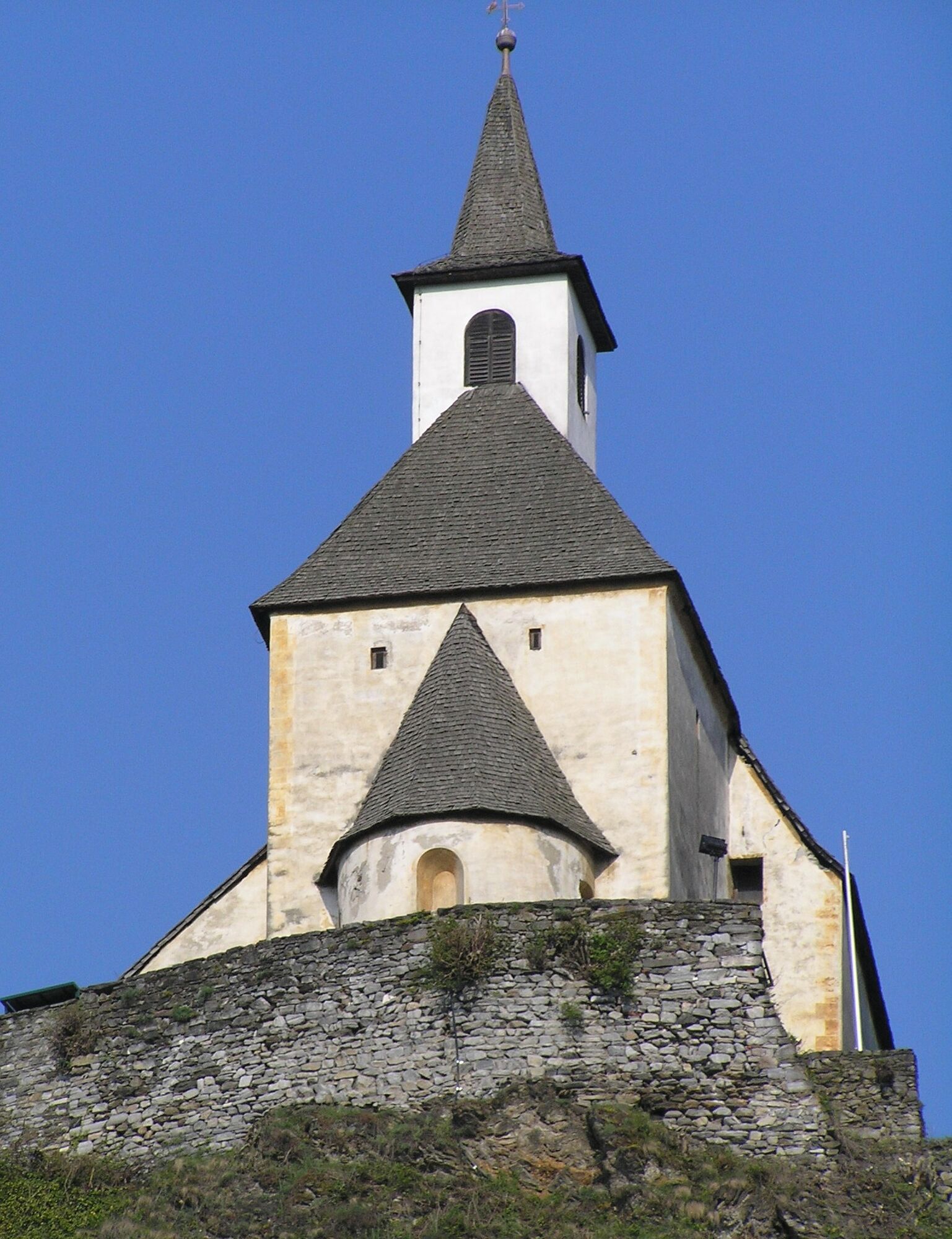
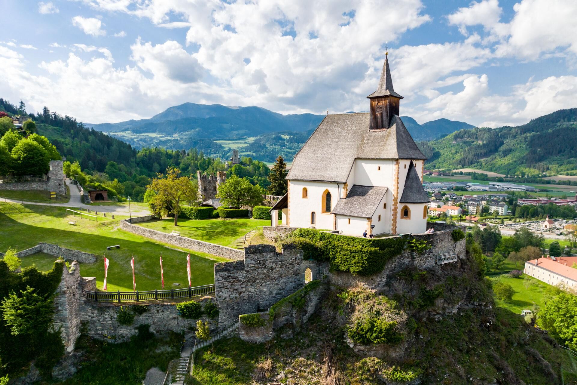
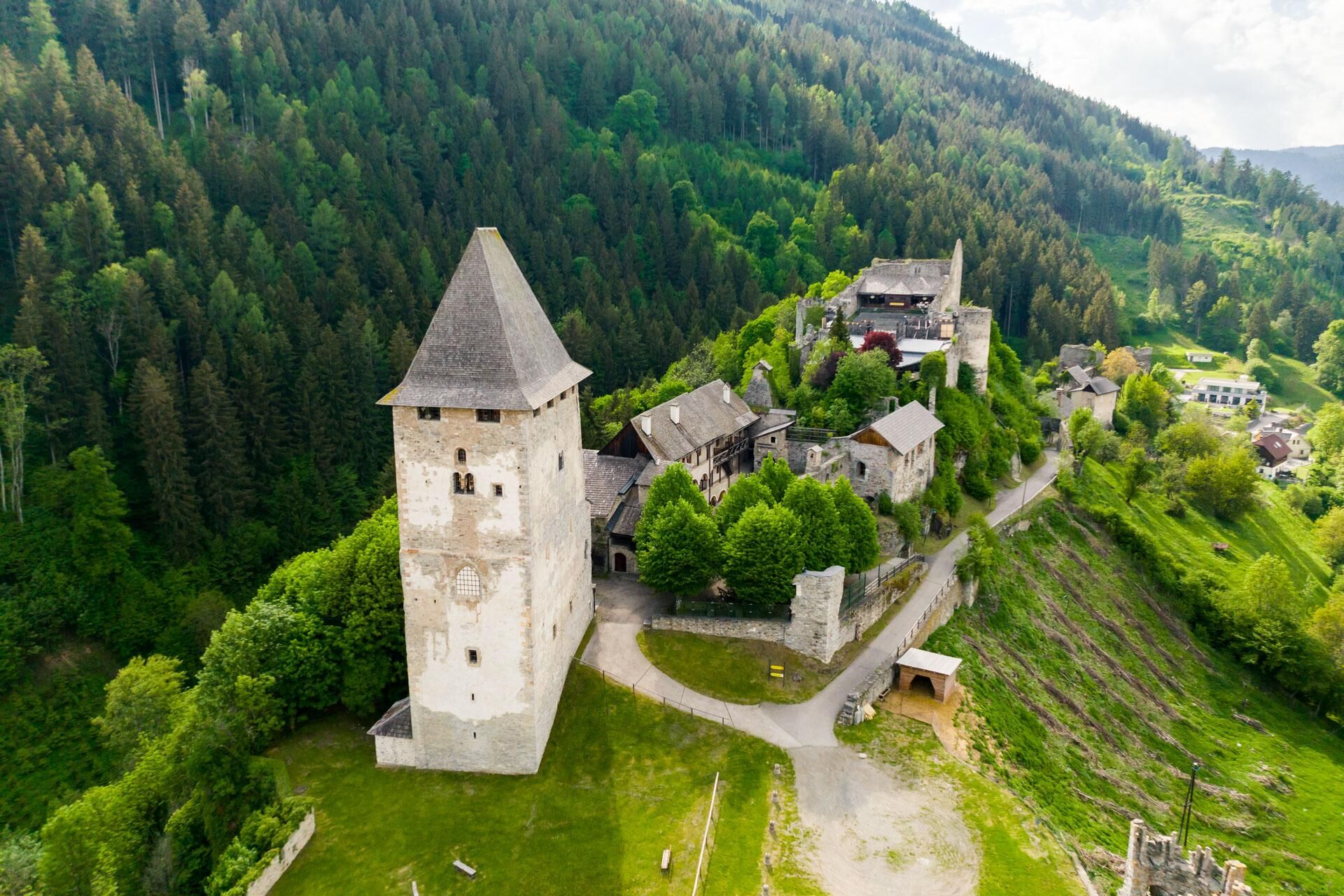
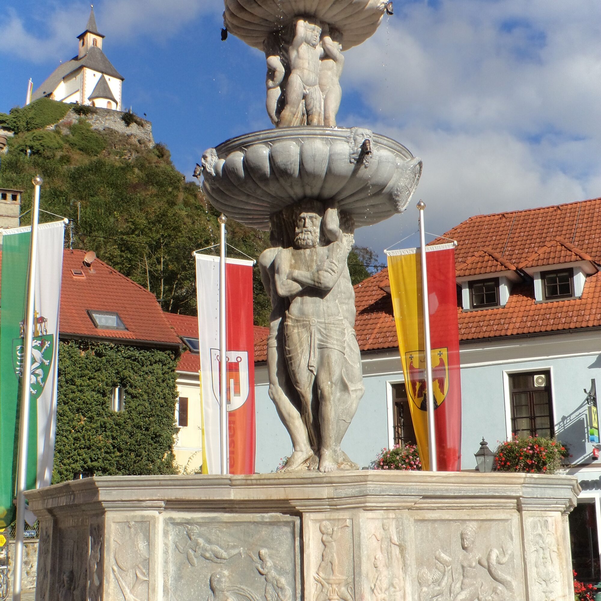
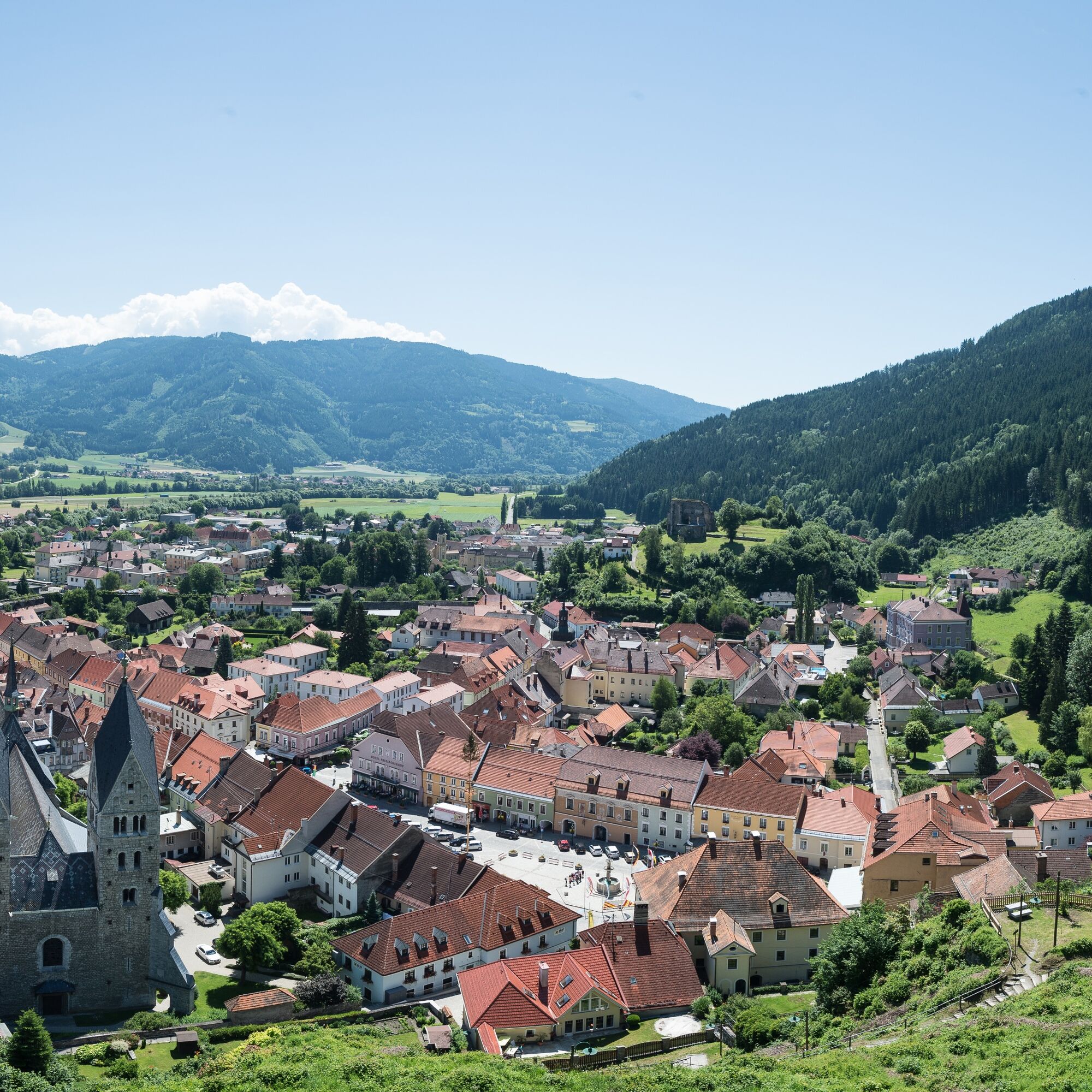
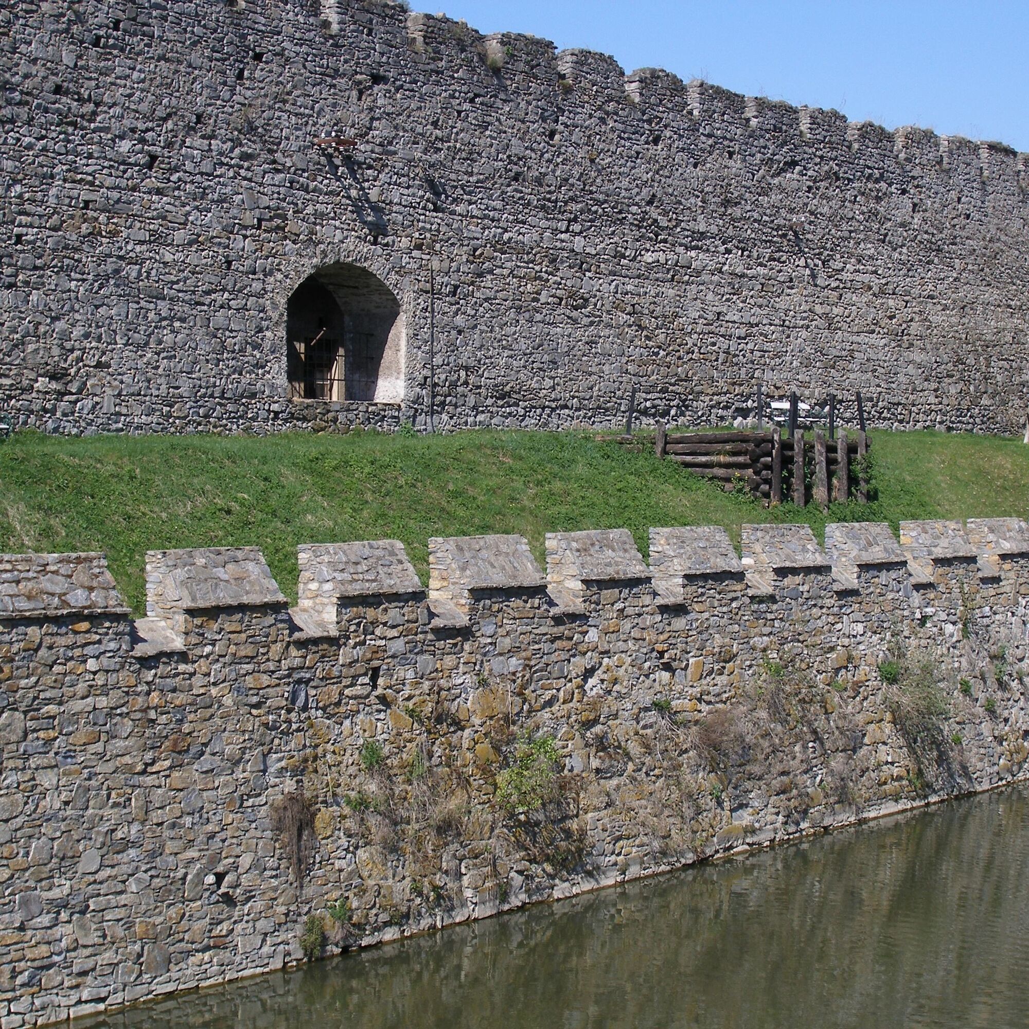
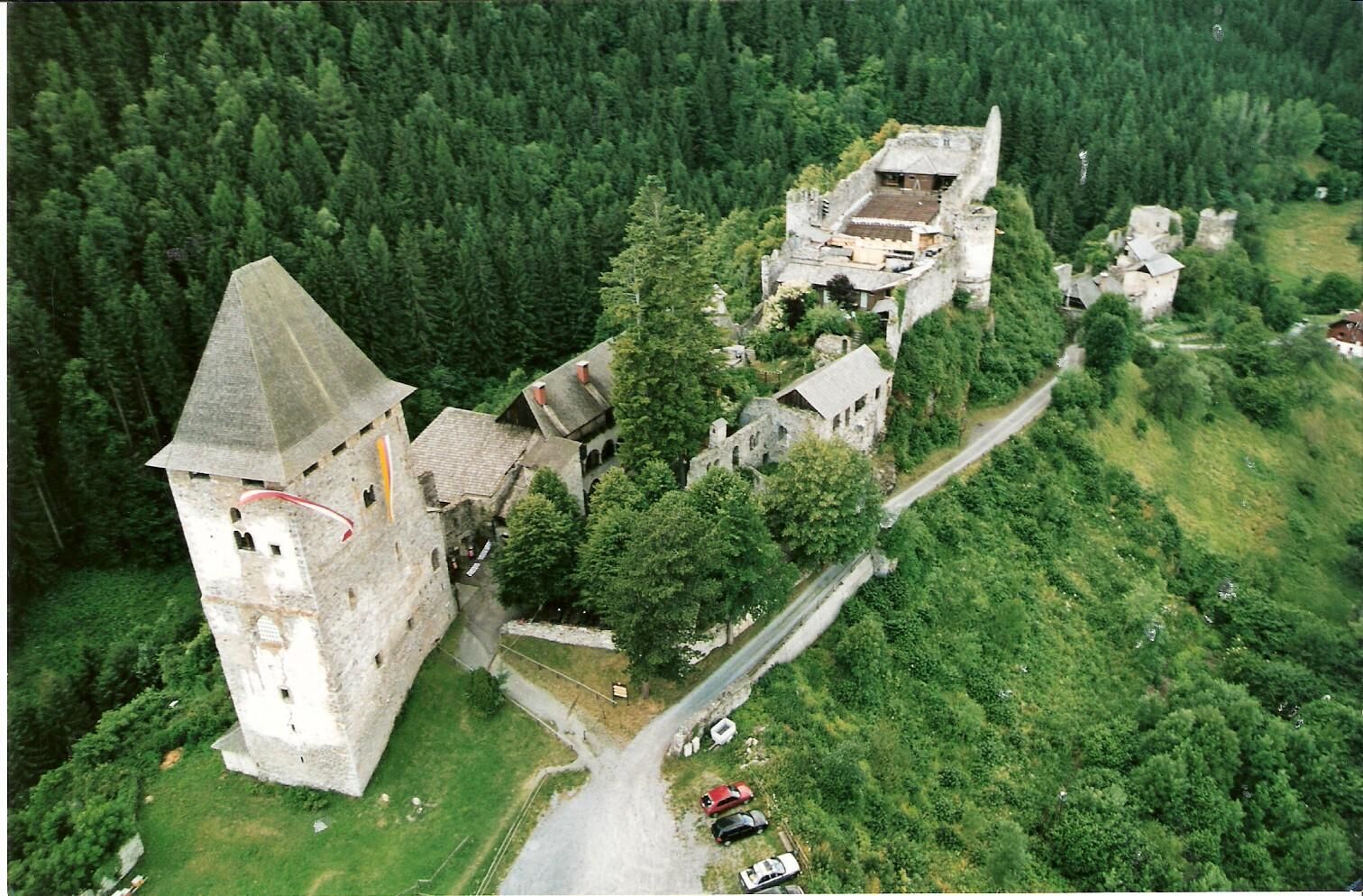
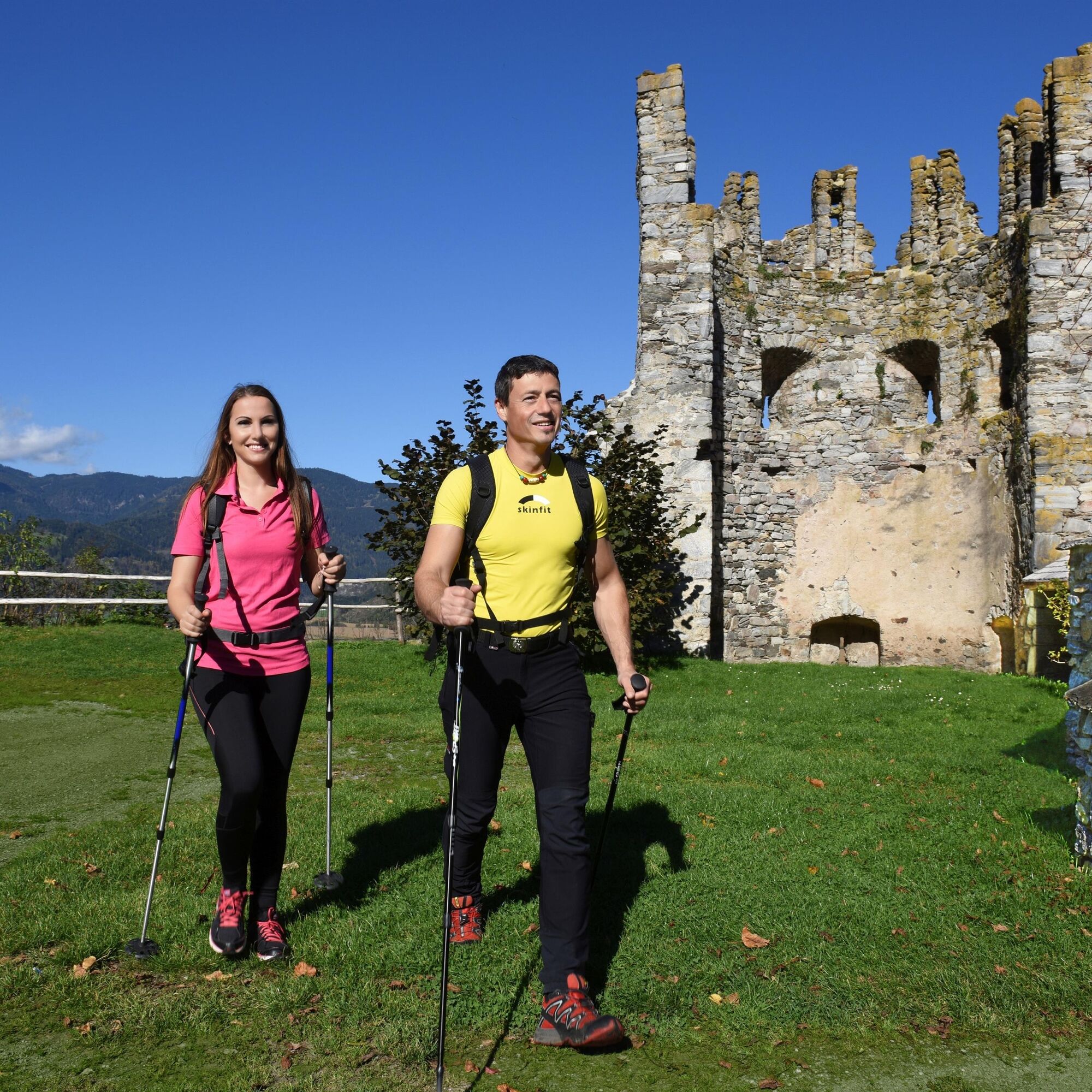
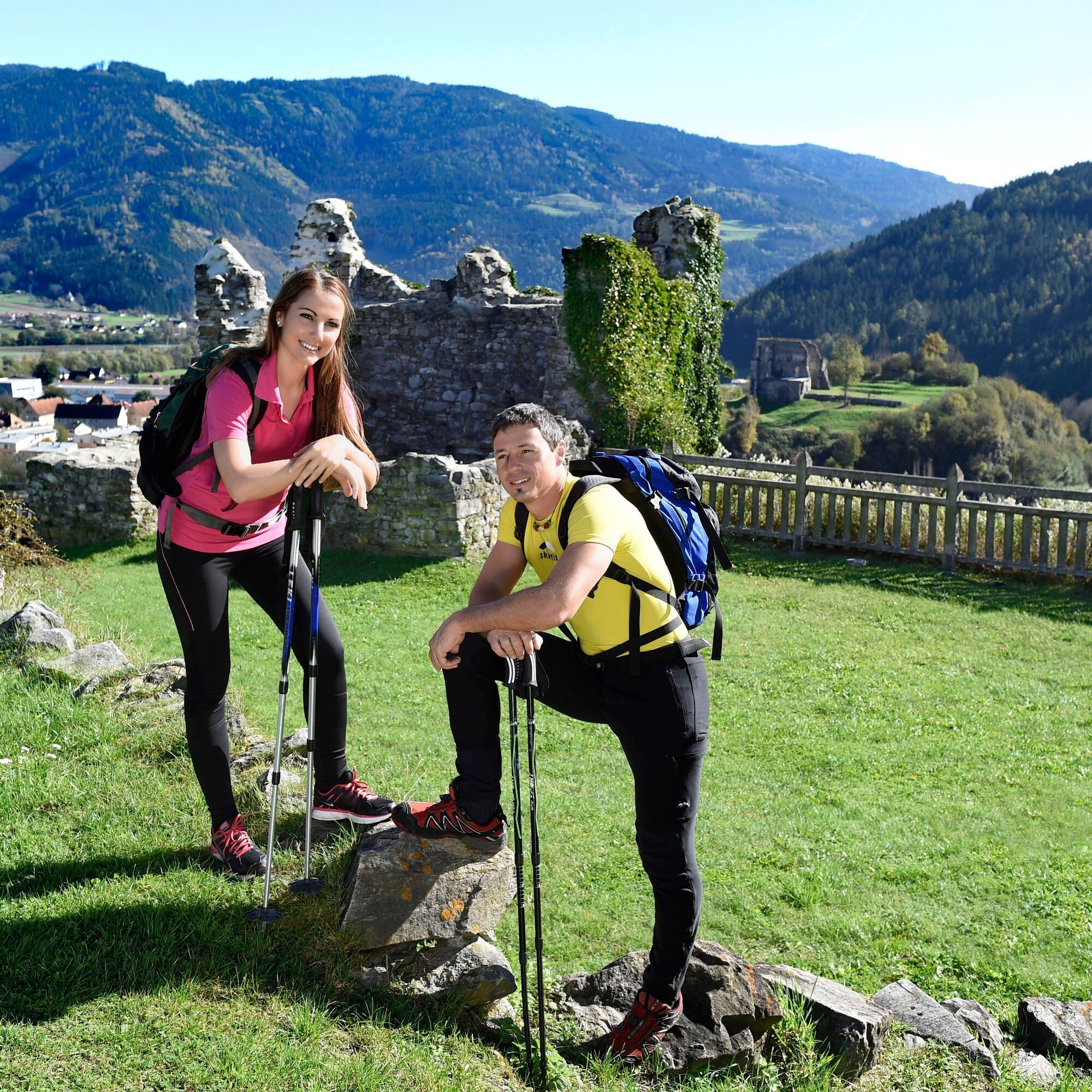
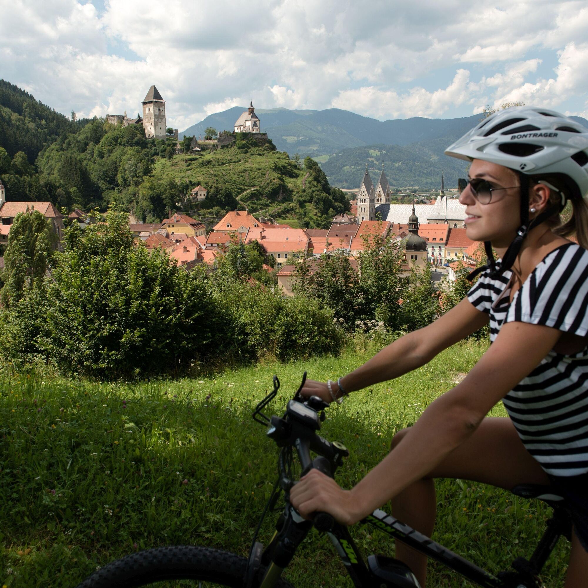
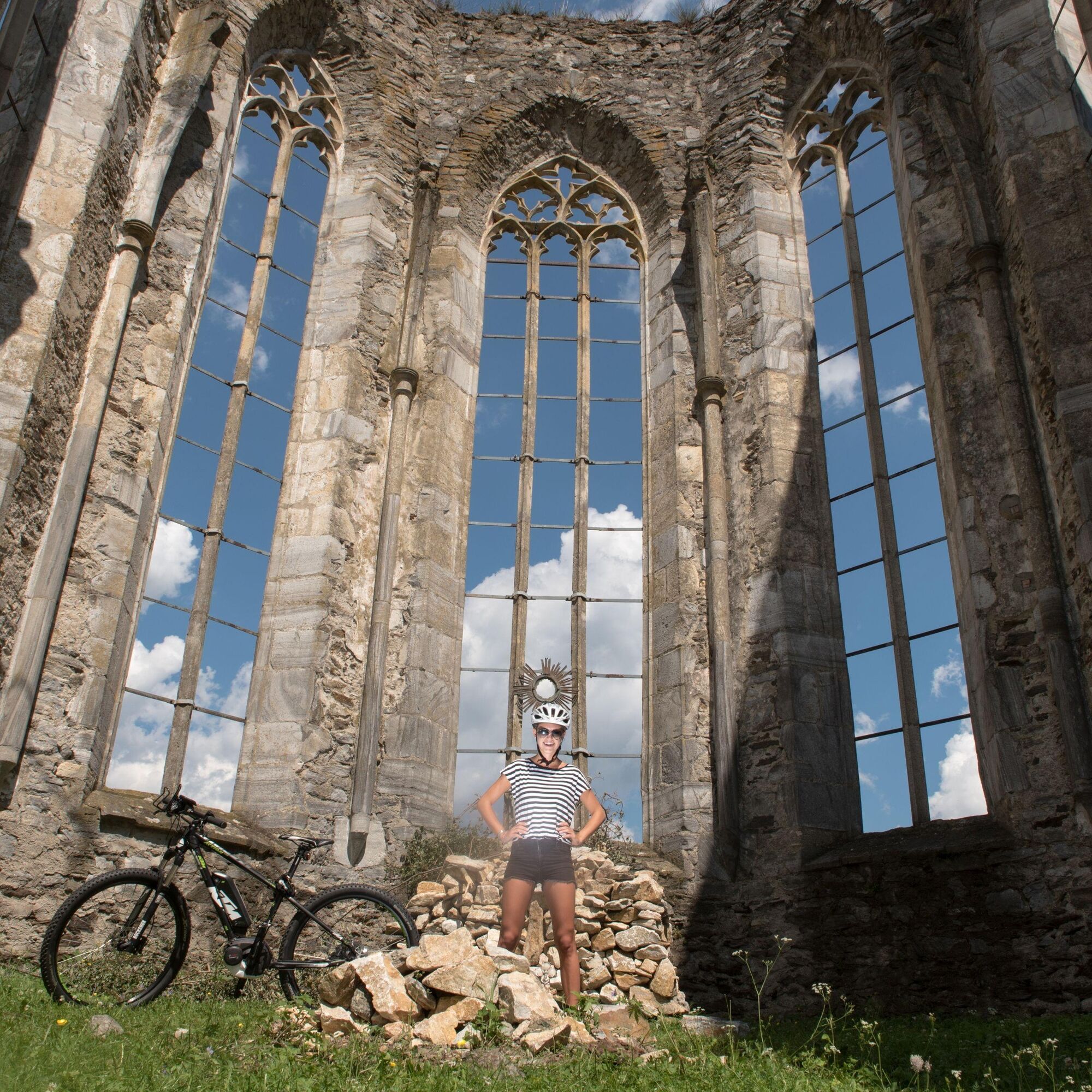
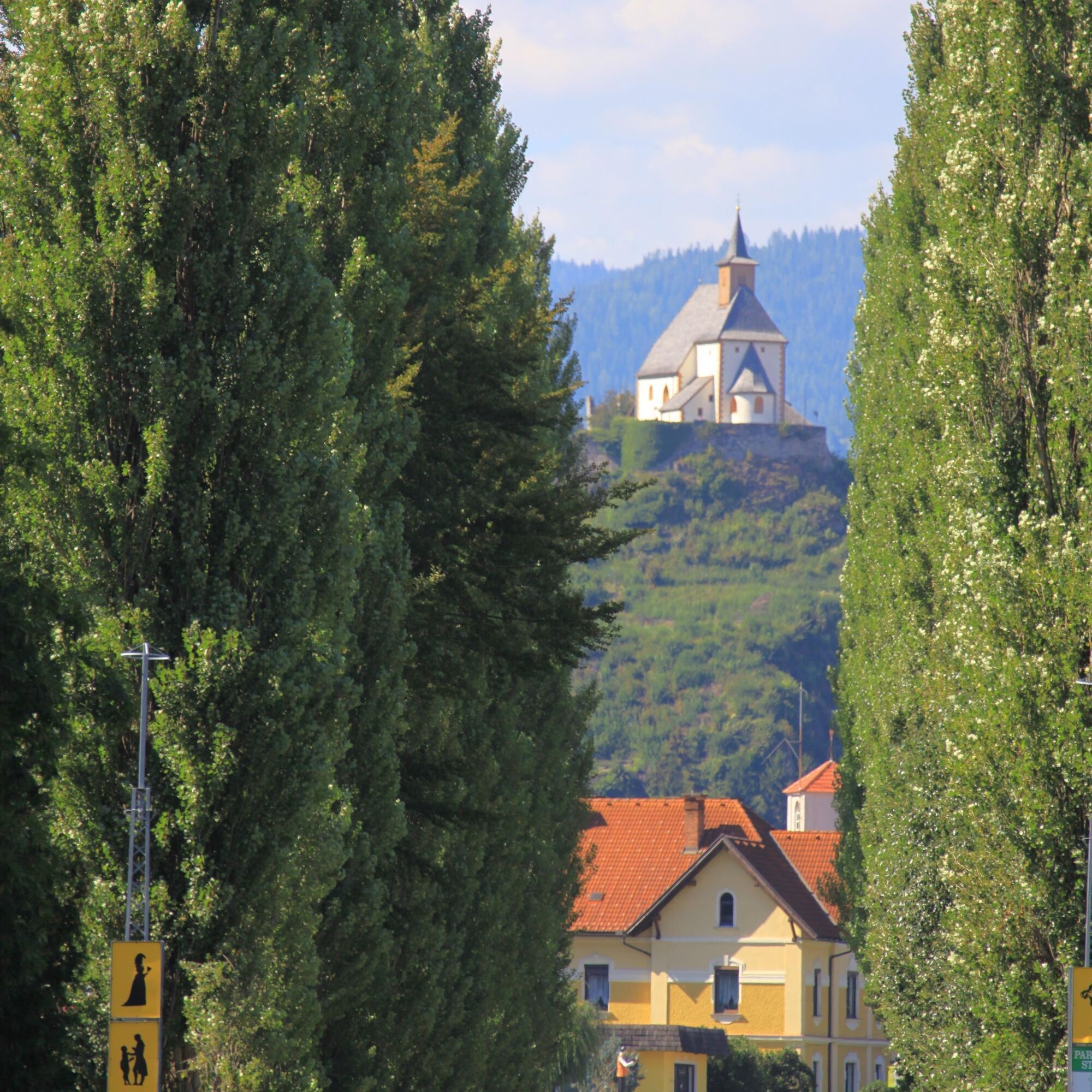
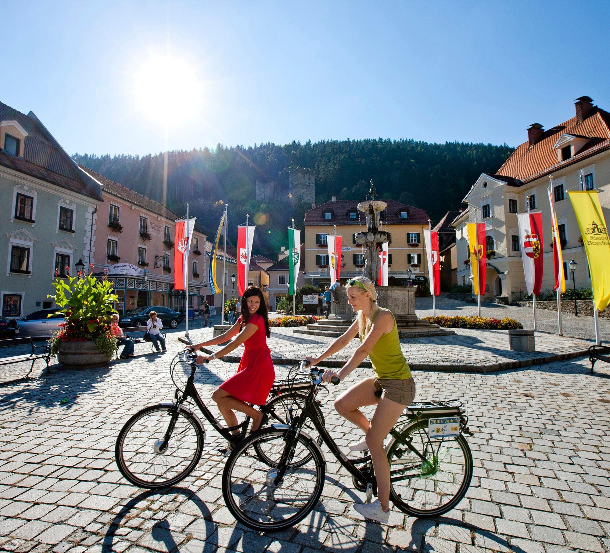
The circular route Puck Bründl - Engelsdorf starts at Puck Bründl, a spring with allegedly healing water in Central Carinthia. The approximately 8-kilometer-long route leads through dense mixed forests and over open fields. Along the way, hikers pass the picturesque village of Engelsdorf with its historic farmhouses. Several viewpoints along the path offer magnificent views of the surrounding landscape. The route is well signposted and suitable for hikers of all experience levels.
Ja
Gutes Schuhwerk, passende Kleidung, Trinkflasche
geladenes Handy
Aus Richtung Neumarkt bzw. Klagenfurt kommend auf der B317 - Ausfahrt Friesach Mitte.
Mit öffentlichen Verkehrsmitteln gut erreichbar - vom Bahnhof ca. 10 min Fußweg in die Innenstadt
ÖBB Routenplaner:
https://fahrplan.oebb.at/webapp/#!P|TP!H|809889
Parkmöglichkeiten in der Friesacher Innenstadt.
www./regio.outdooractive.com/oar-mittelkaernten/de/
Konditorei Craigher
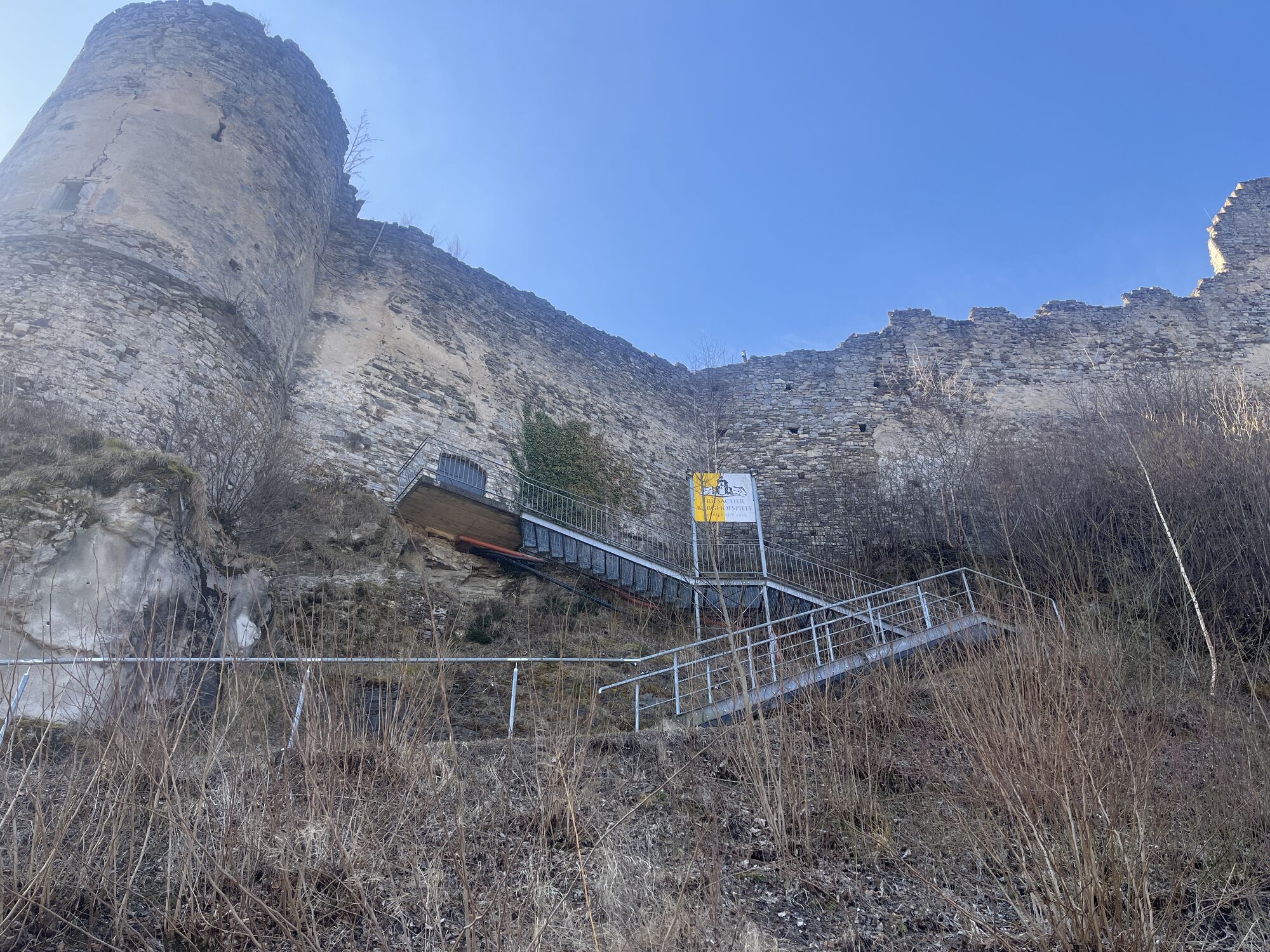
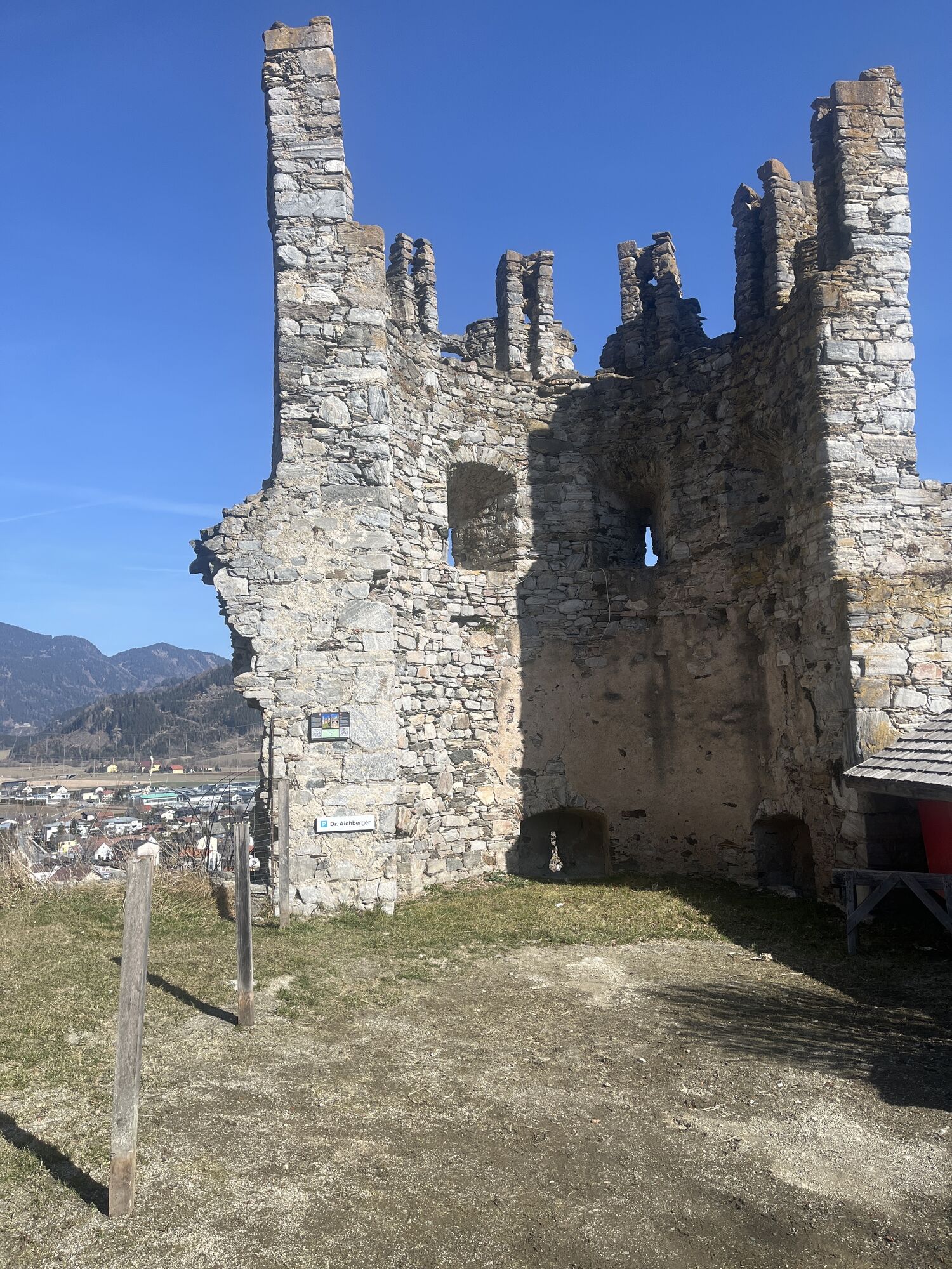
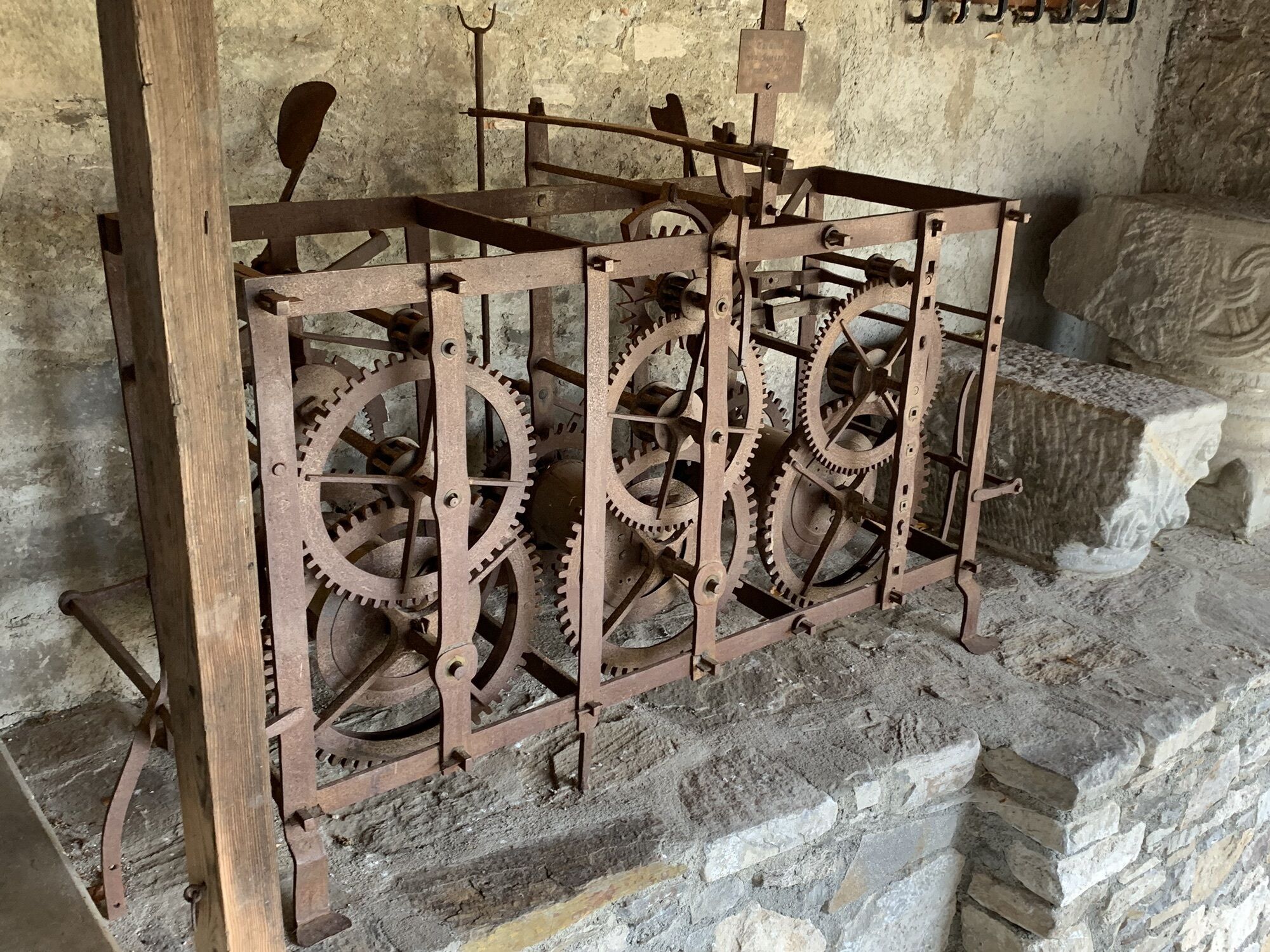
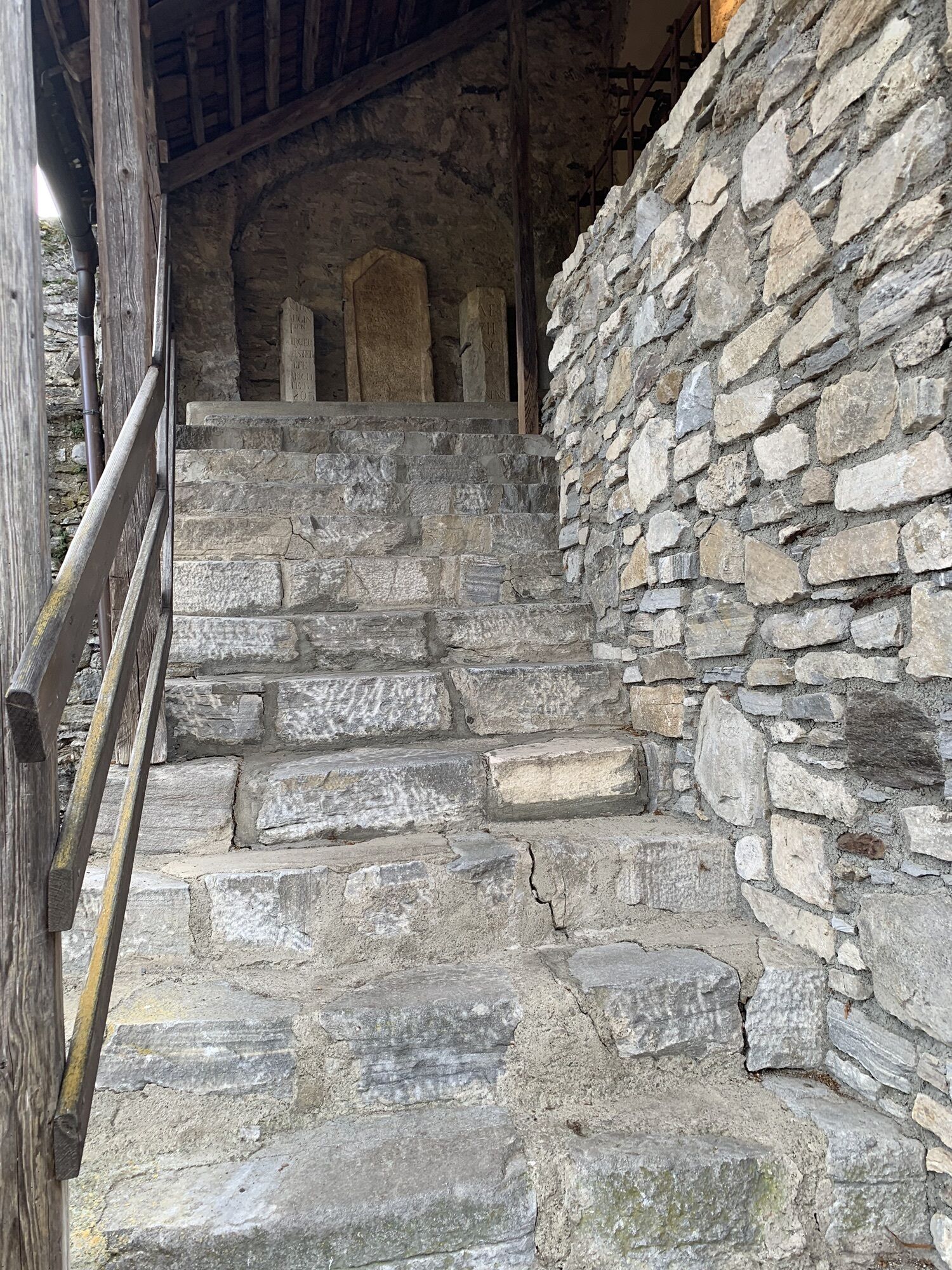
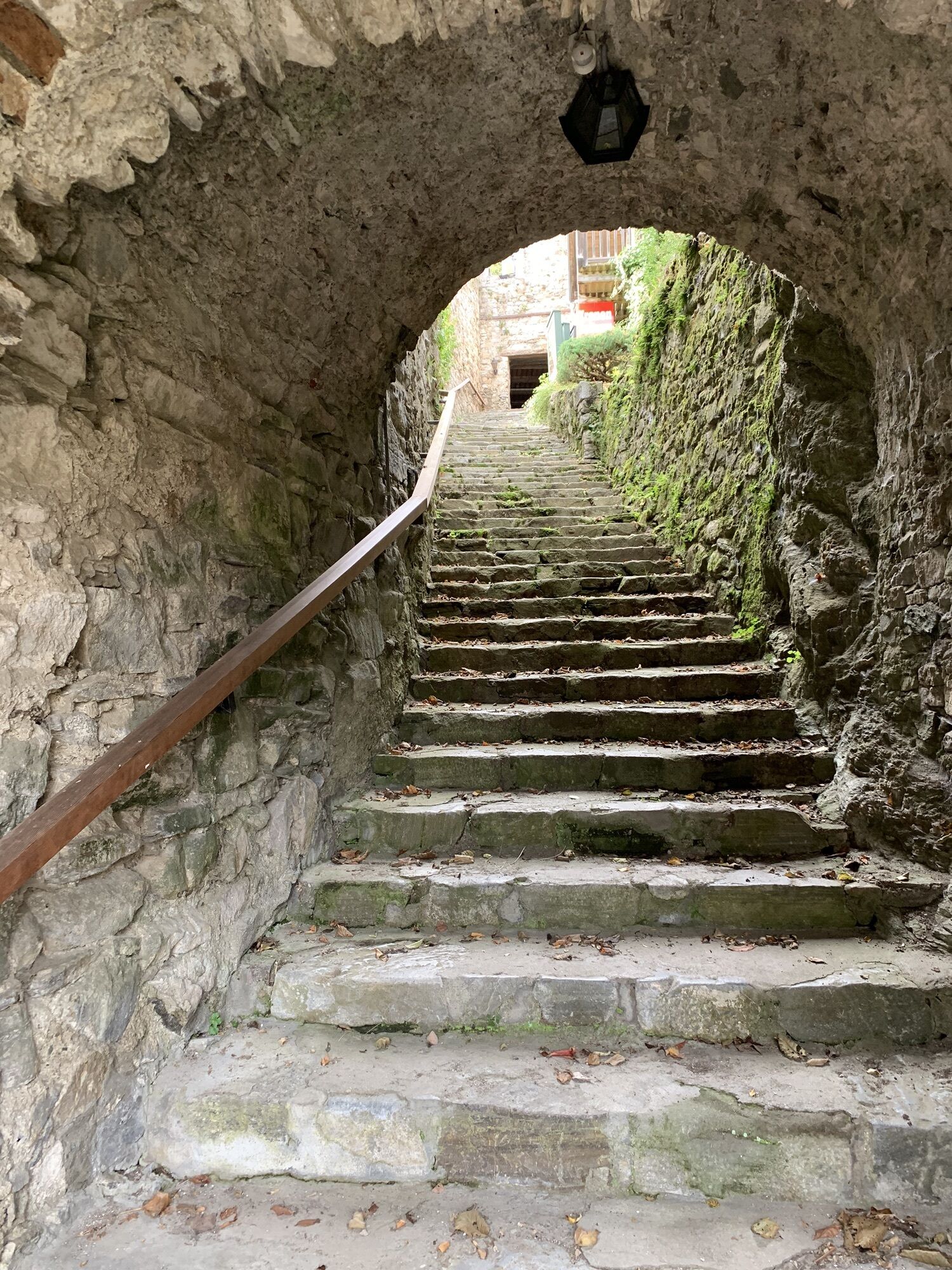
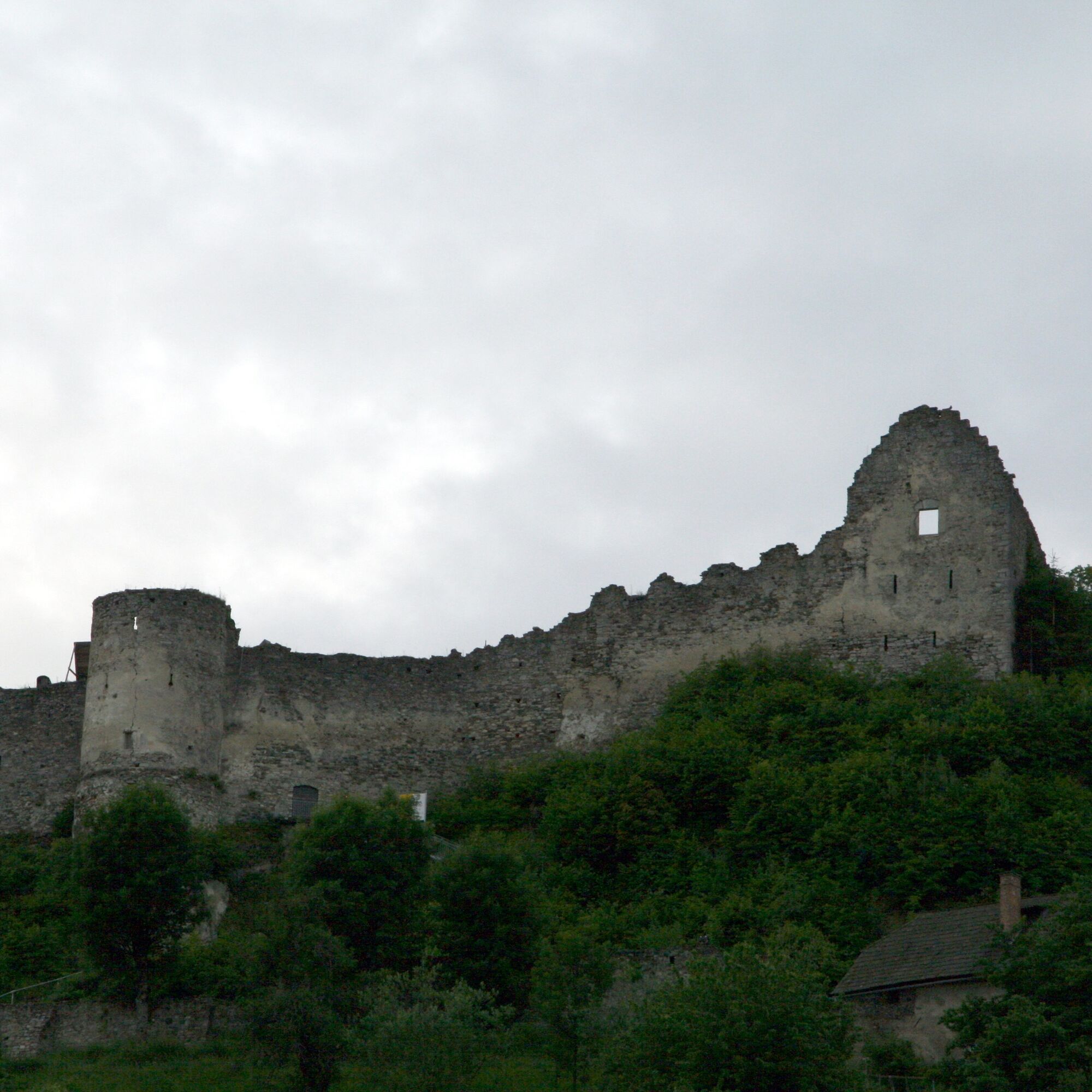
Stadtmuseum am Petersberg
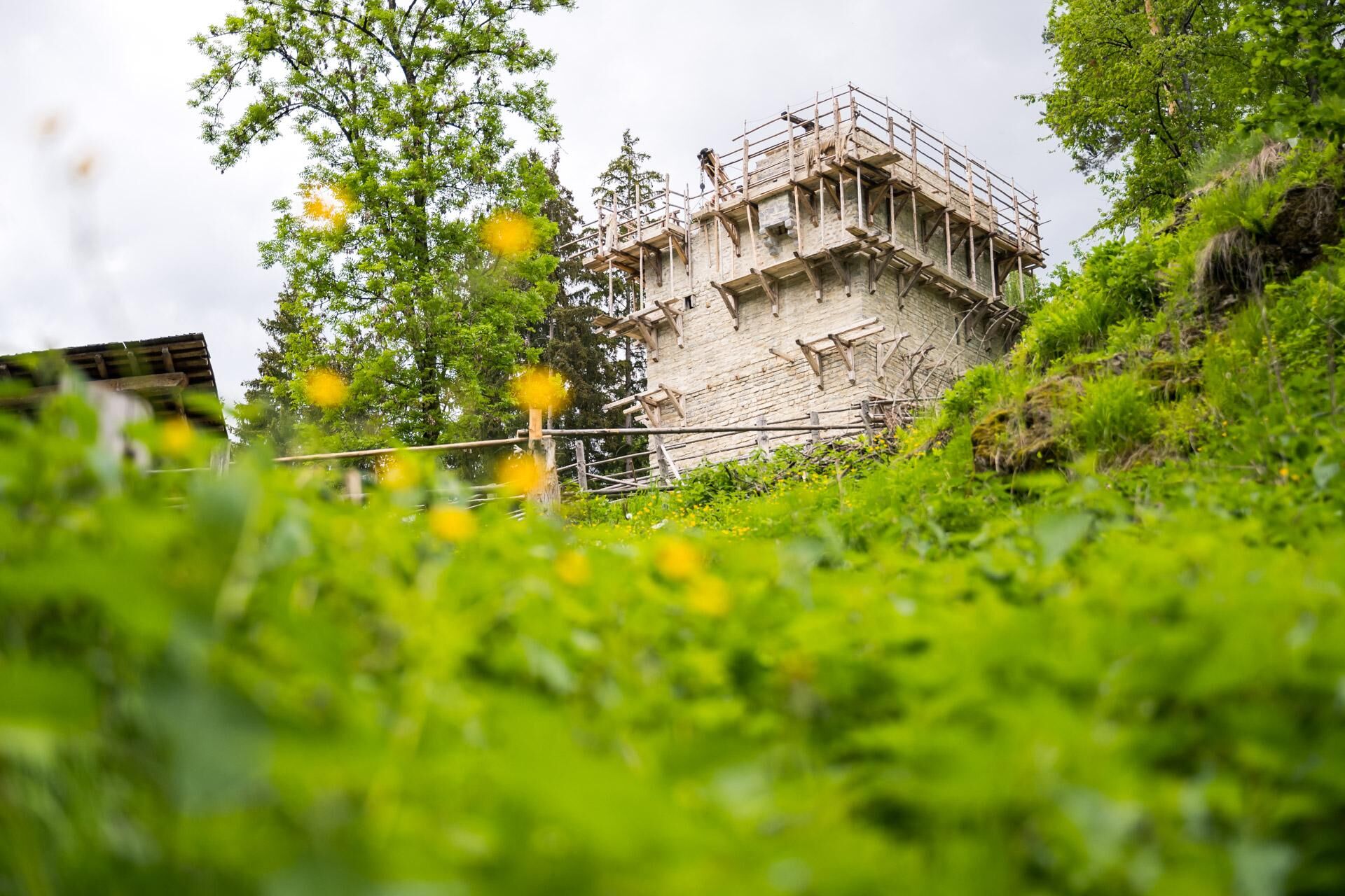
Burgbau zu Friesach
Beliebte Touren in der Nähe
- 4,3
Zertifizierter Wanderweg: Guttaring - Mariahilferweg - permanenter IVV Wanderweg
mittelWanderung 11,2 km - 4,5
Burgenwanderweg Friesach
leichtWanderung 5,21 km - 4,1
Althofen Wald Ausichtsweg
leichtWanderung 3,94 km - 4,6
Höhenweg Scharfes Eck
mittelWanderung 6,18 km - 5,0
Kuhalm
mittelWanderung 16,8 km - 4,7
Schitour Grebenzen
mittelSkitour 8,66 km - 5,0
Grebenzen Runde
mittelWanderung 13,7 km - 4,5
Zeutschacher Ursprung und Graggerschlucht
leichtWanderung 7,73 km - 4,8
Gragger Schlucht und Jakobi Kirche,Sankt Marein bei Neumarkt
leichtWanderung 12,8 km - 5,0
Grebenzenrunde
mittelWanderung 8,04 km
Wandern & Tracking


Verpasse keine Angebote und Inspirationen für deinen nächsten Urlaub
Deine E-Mail-Adresse wurde in den Verteiler eingetragen.