



Klettersteig Köllenspitze

Schwierigkeitsgrad: D
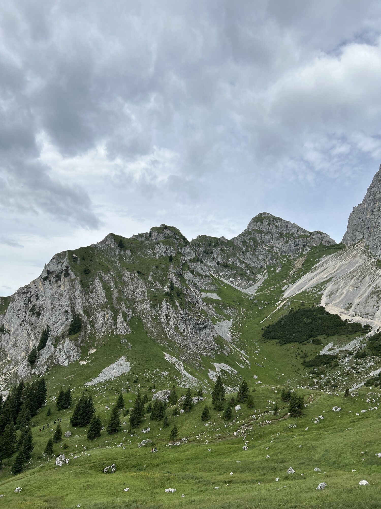
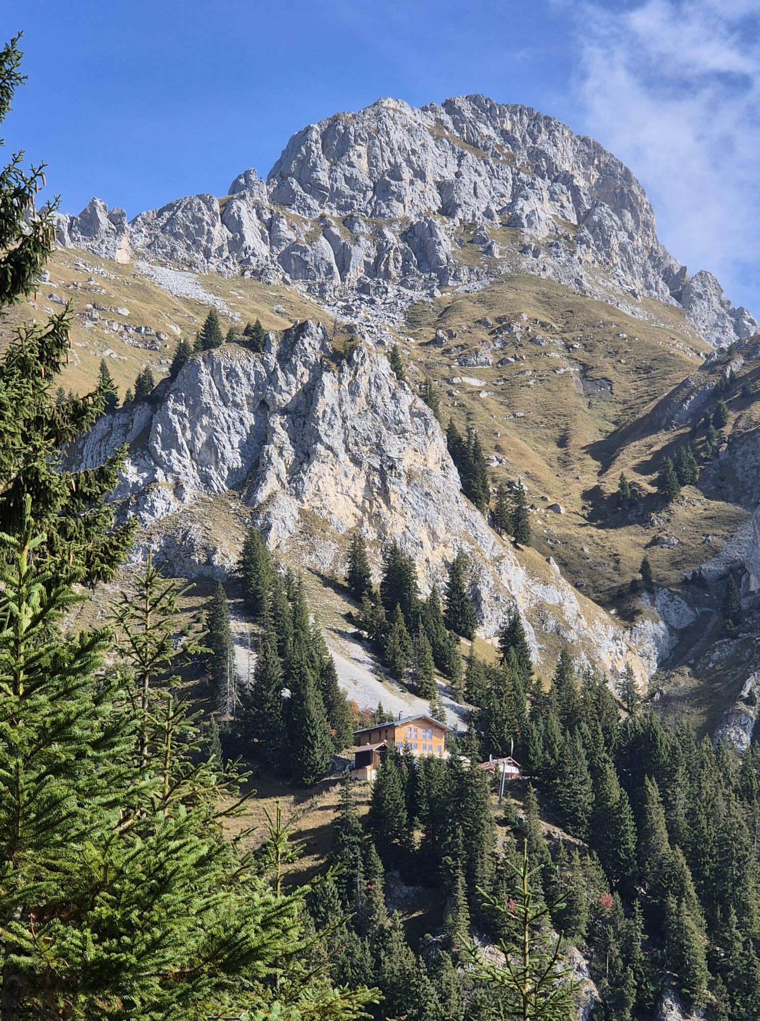
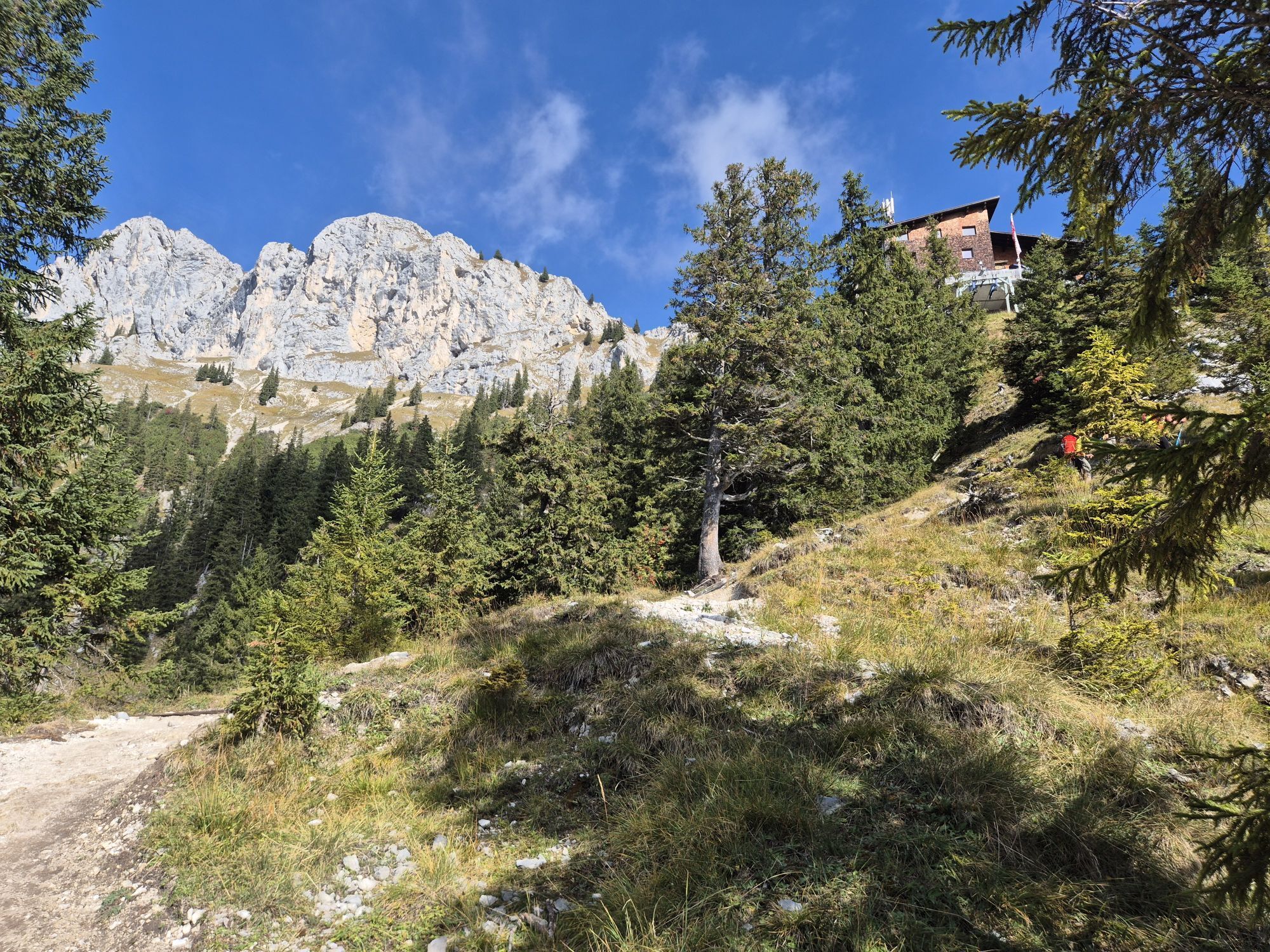
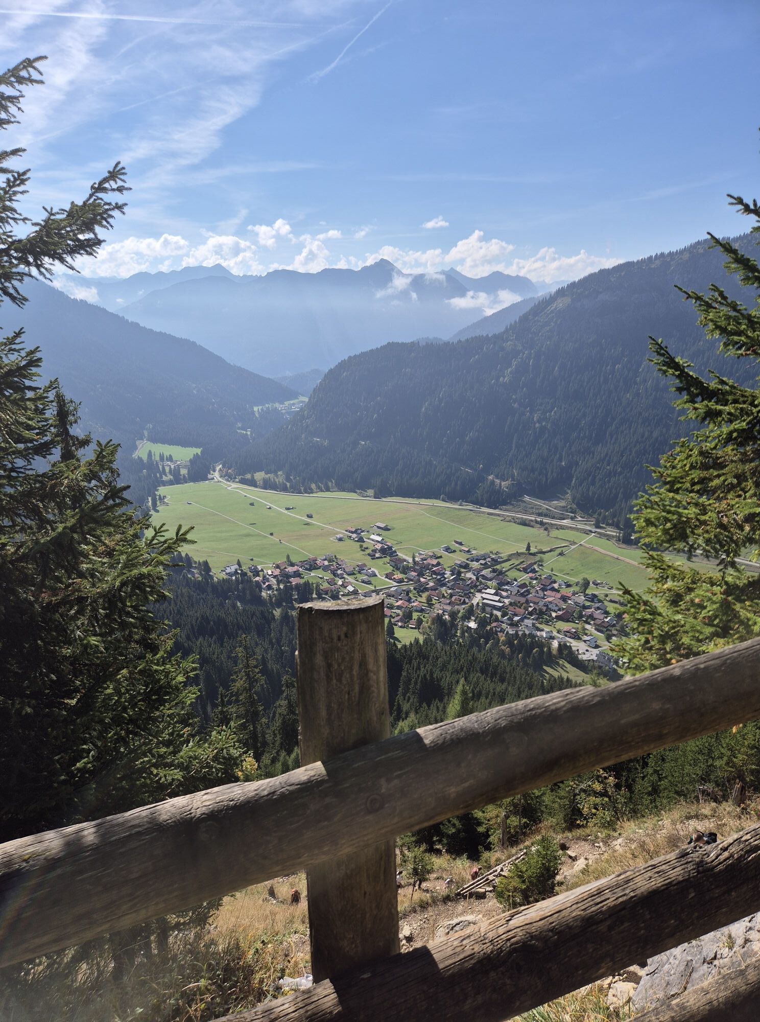
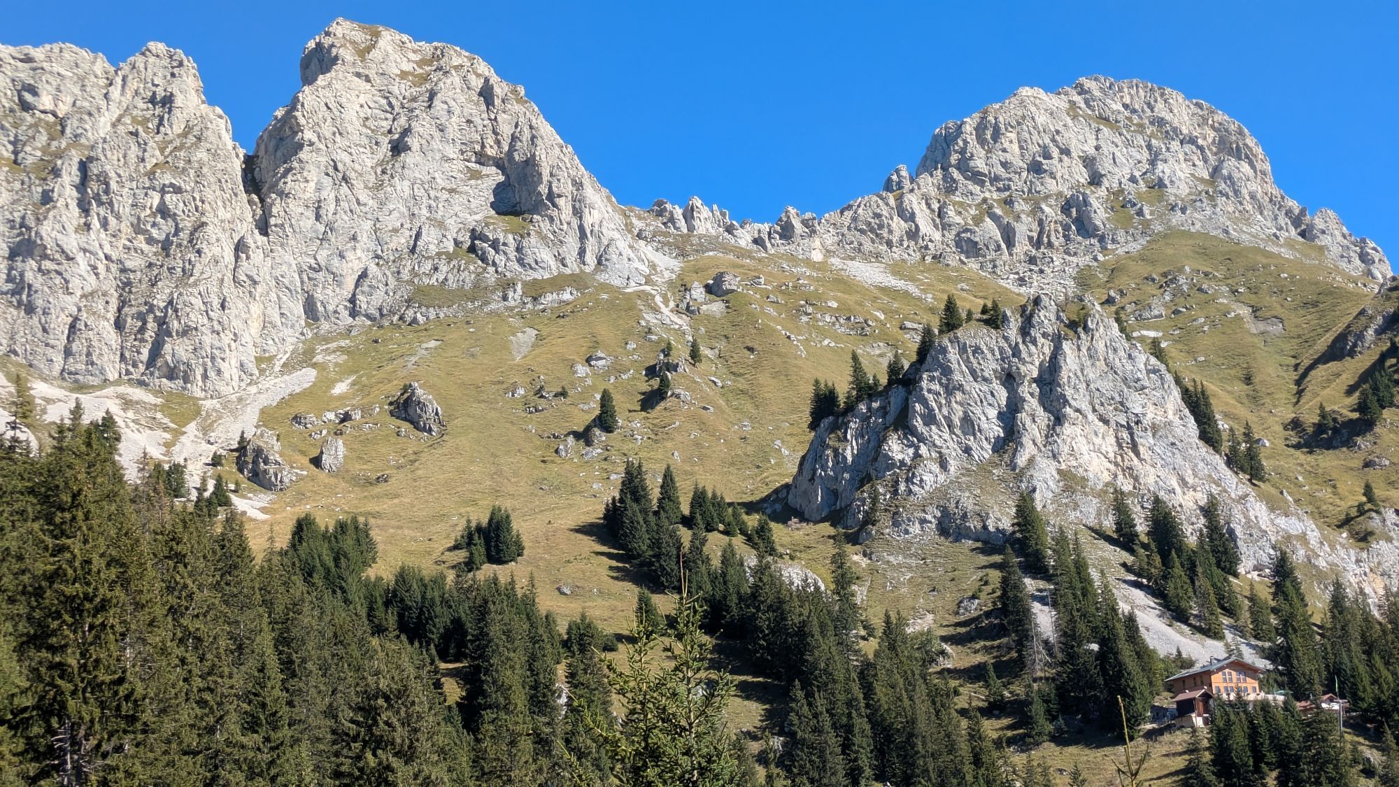
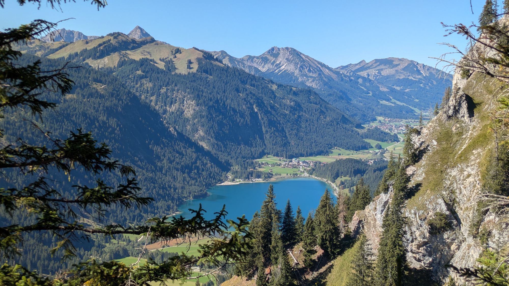
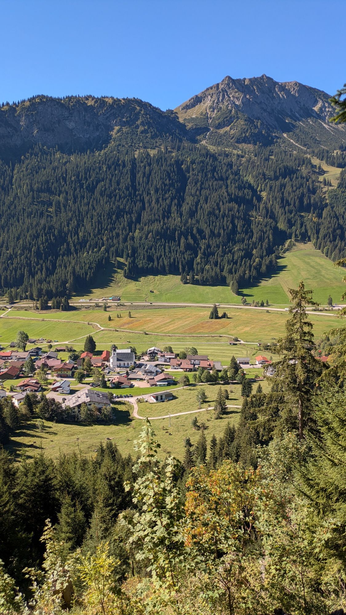
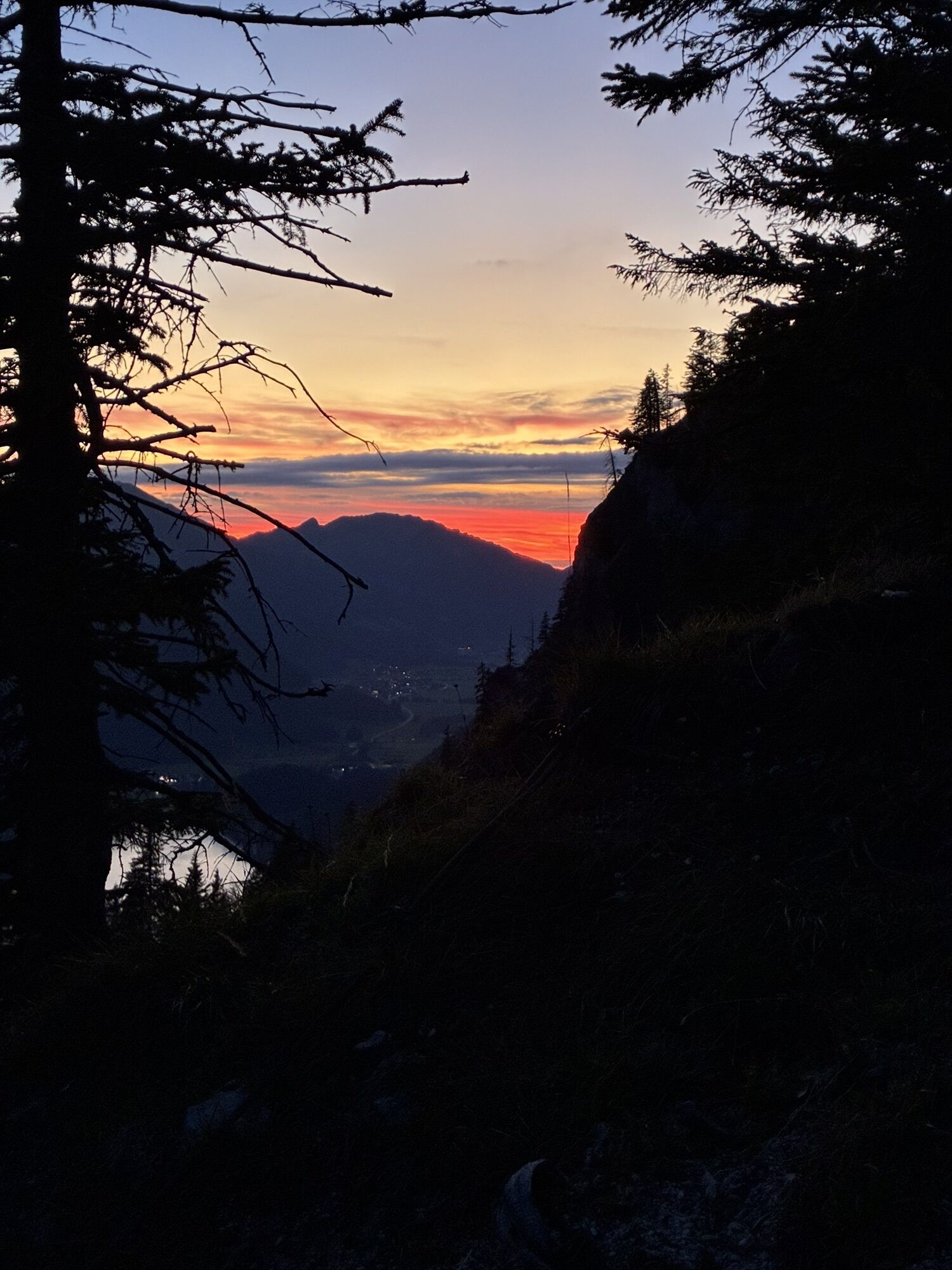
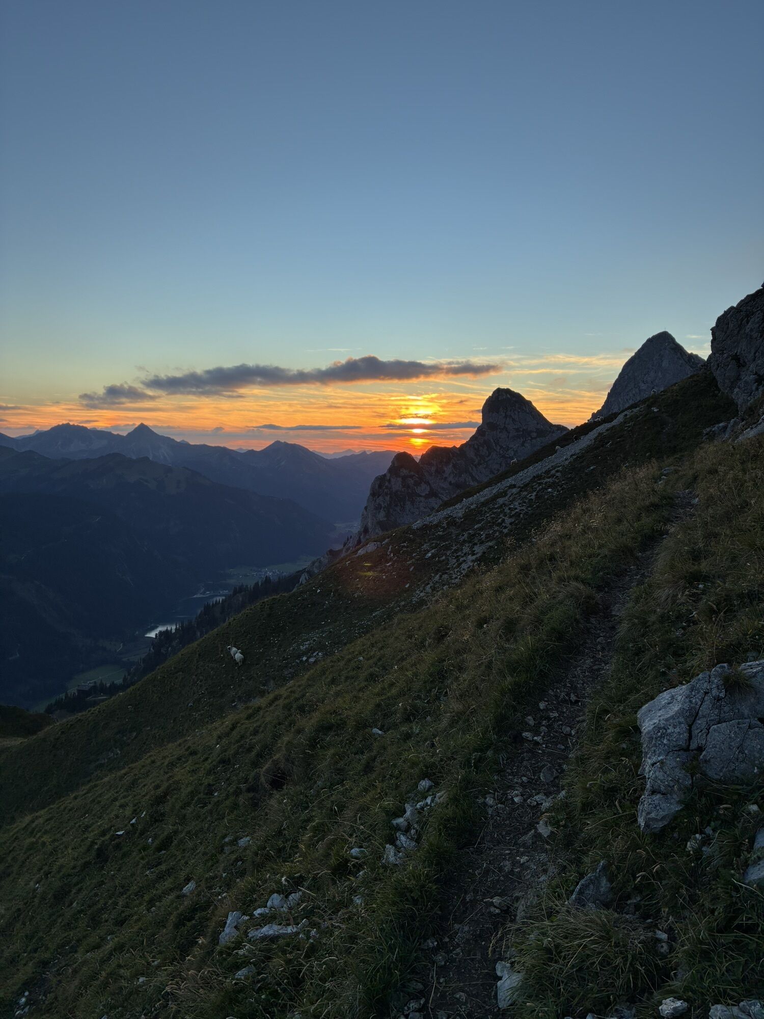
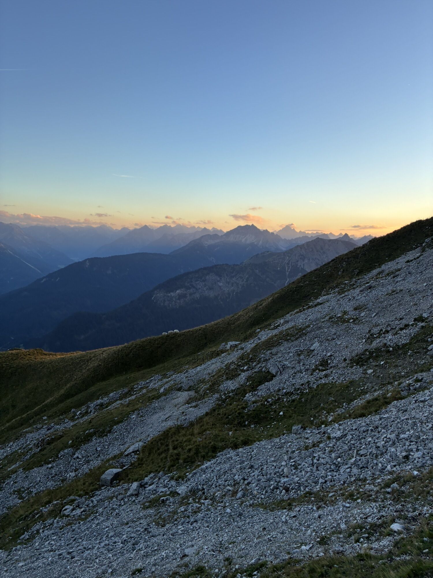
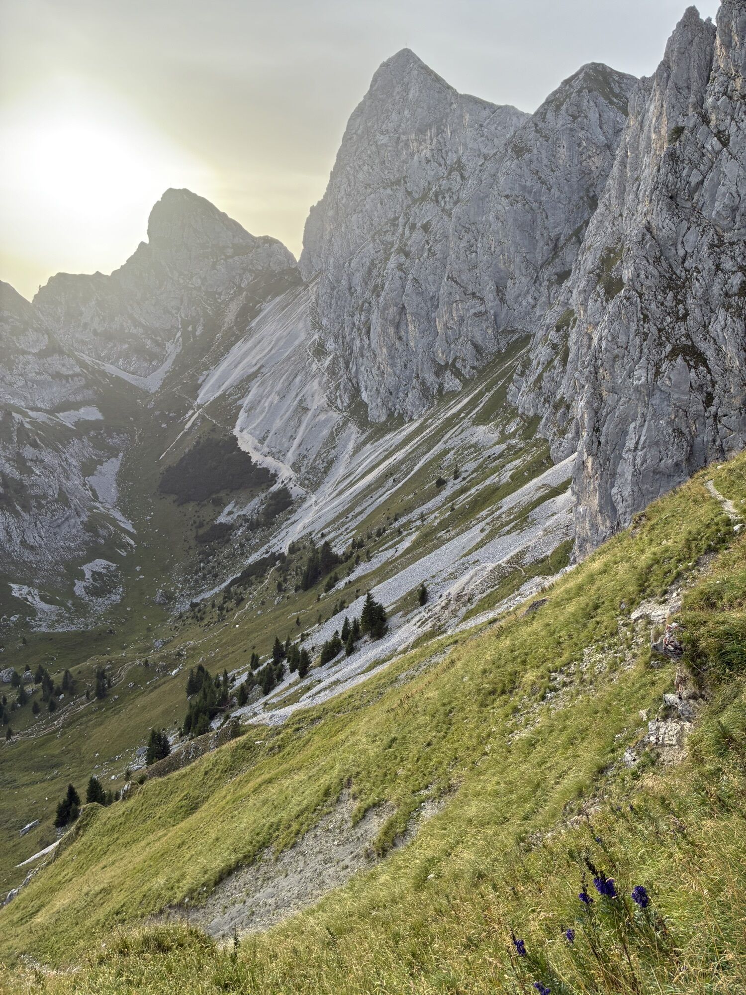
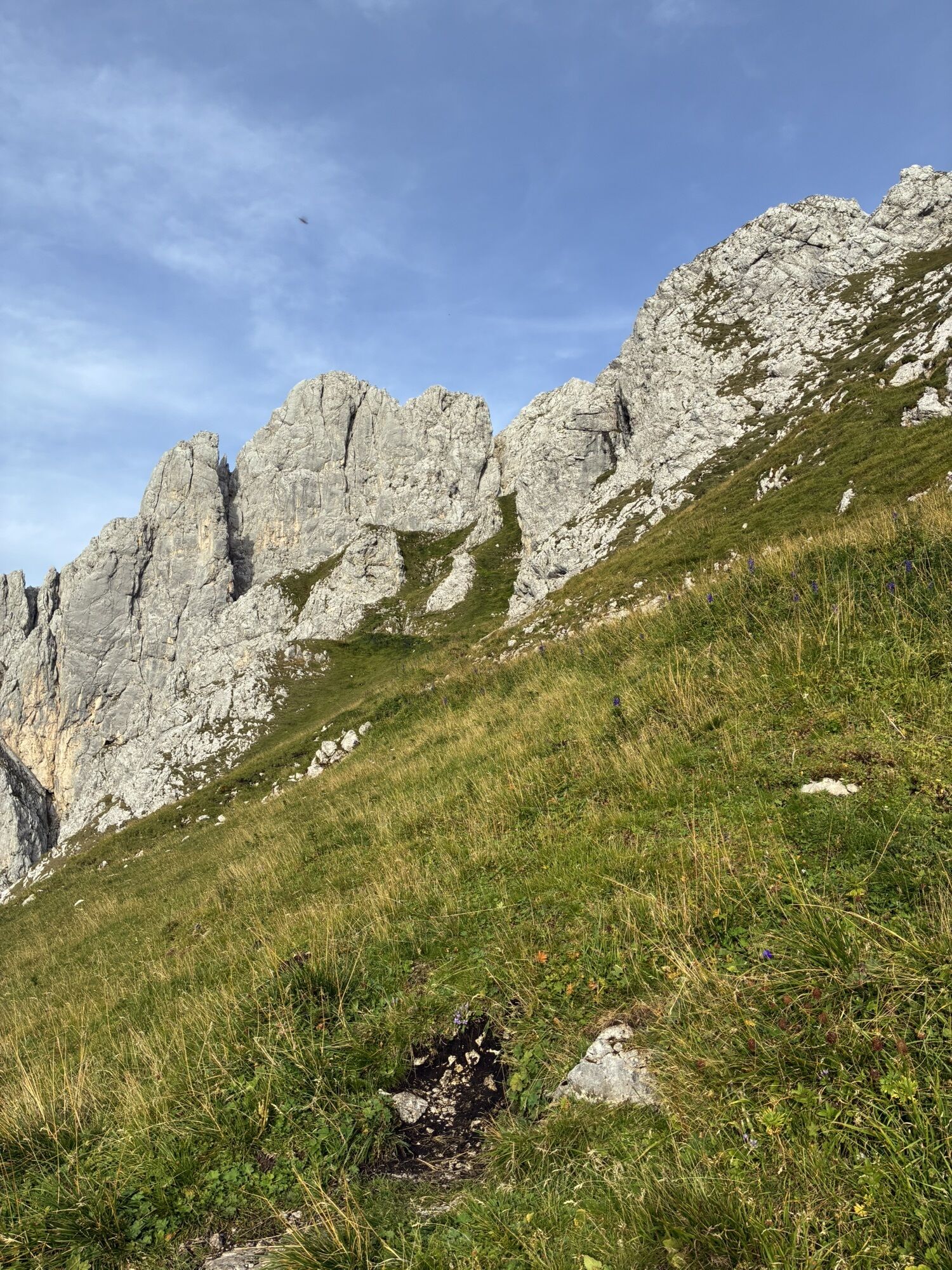
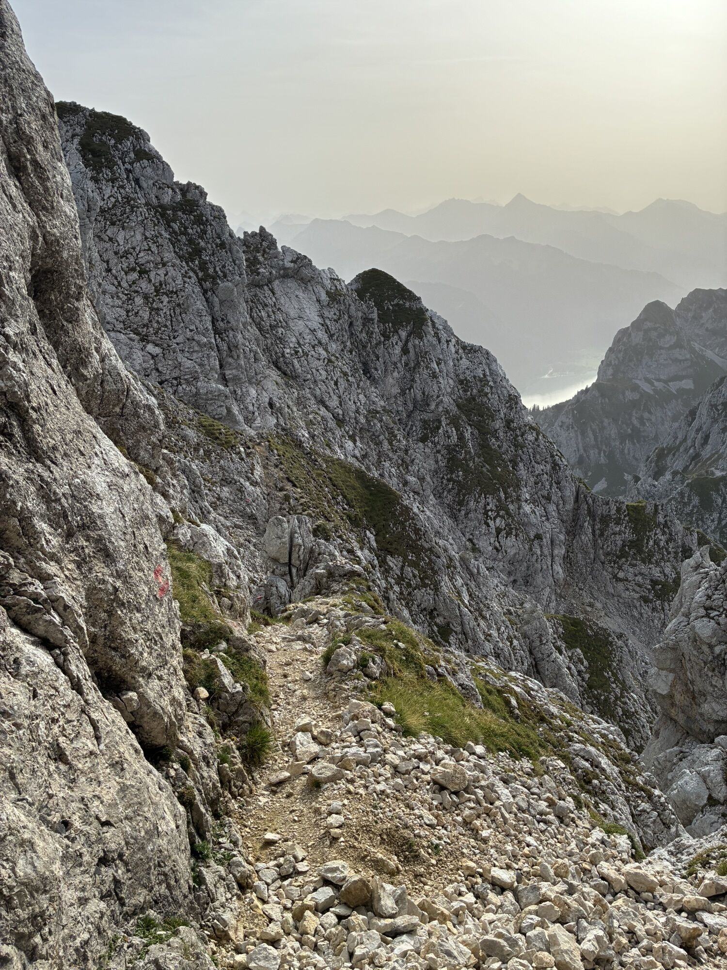
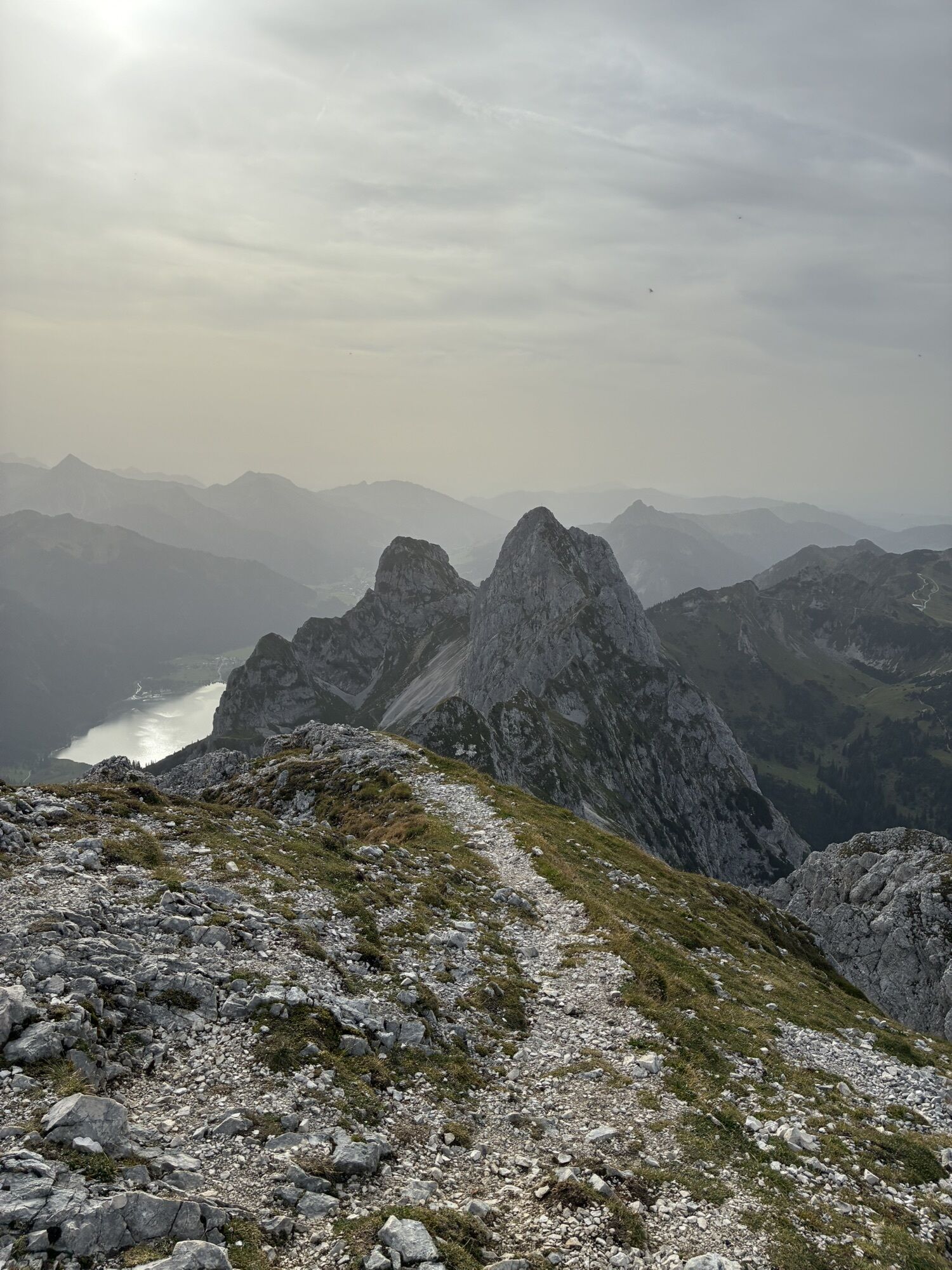
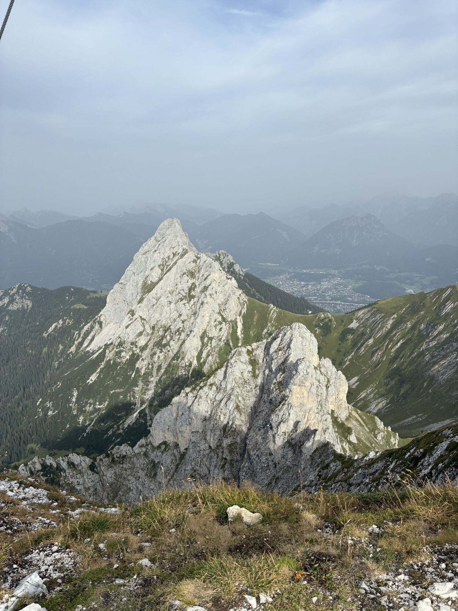
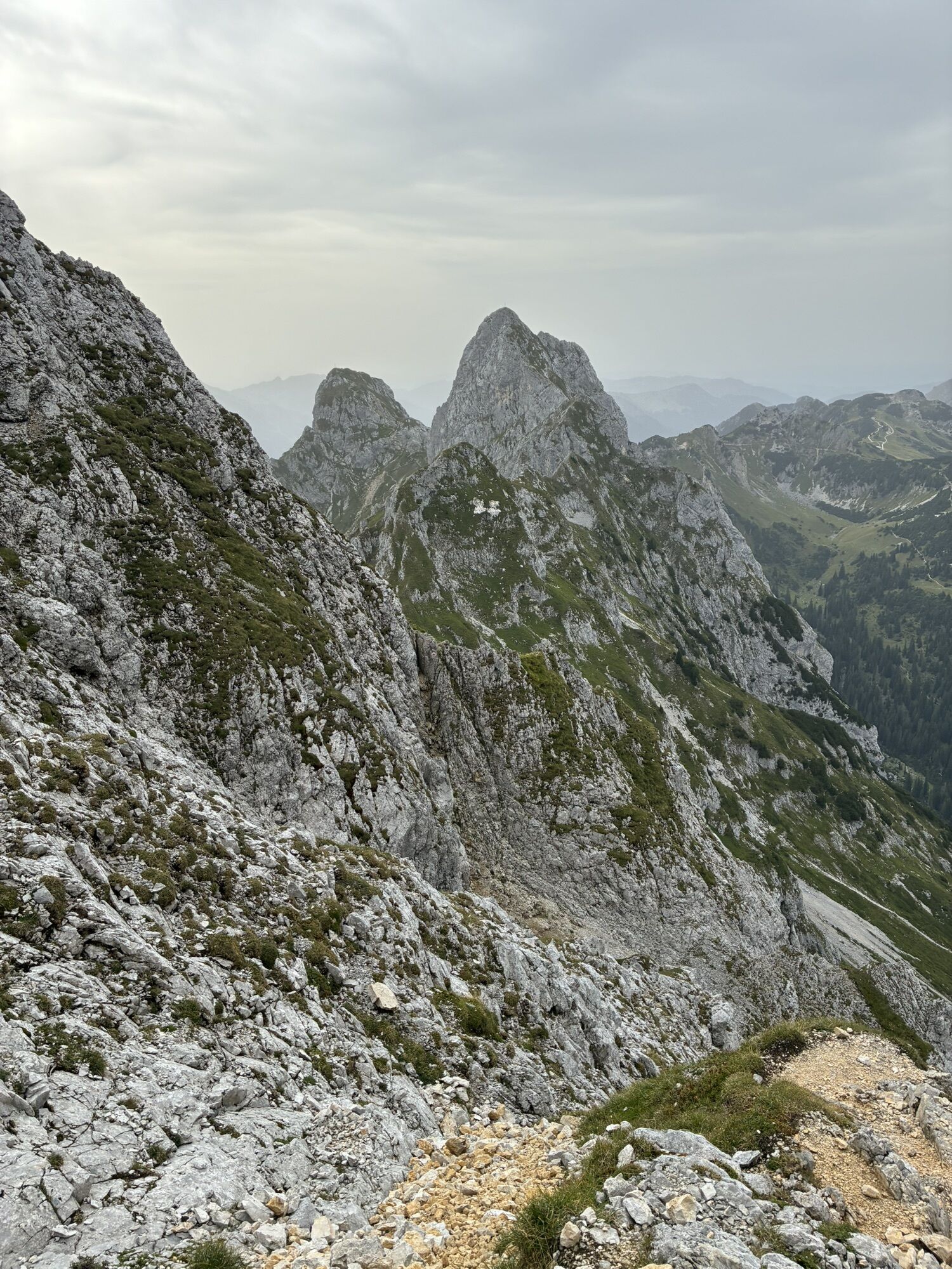
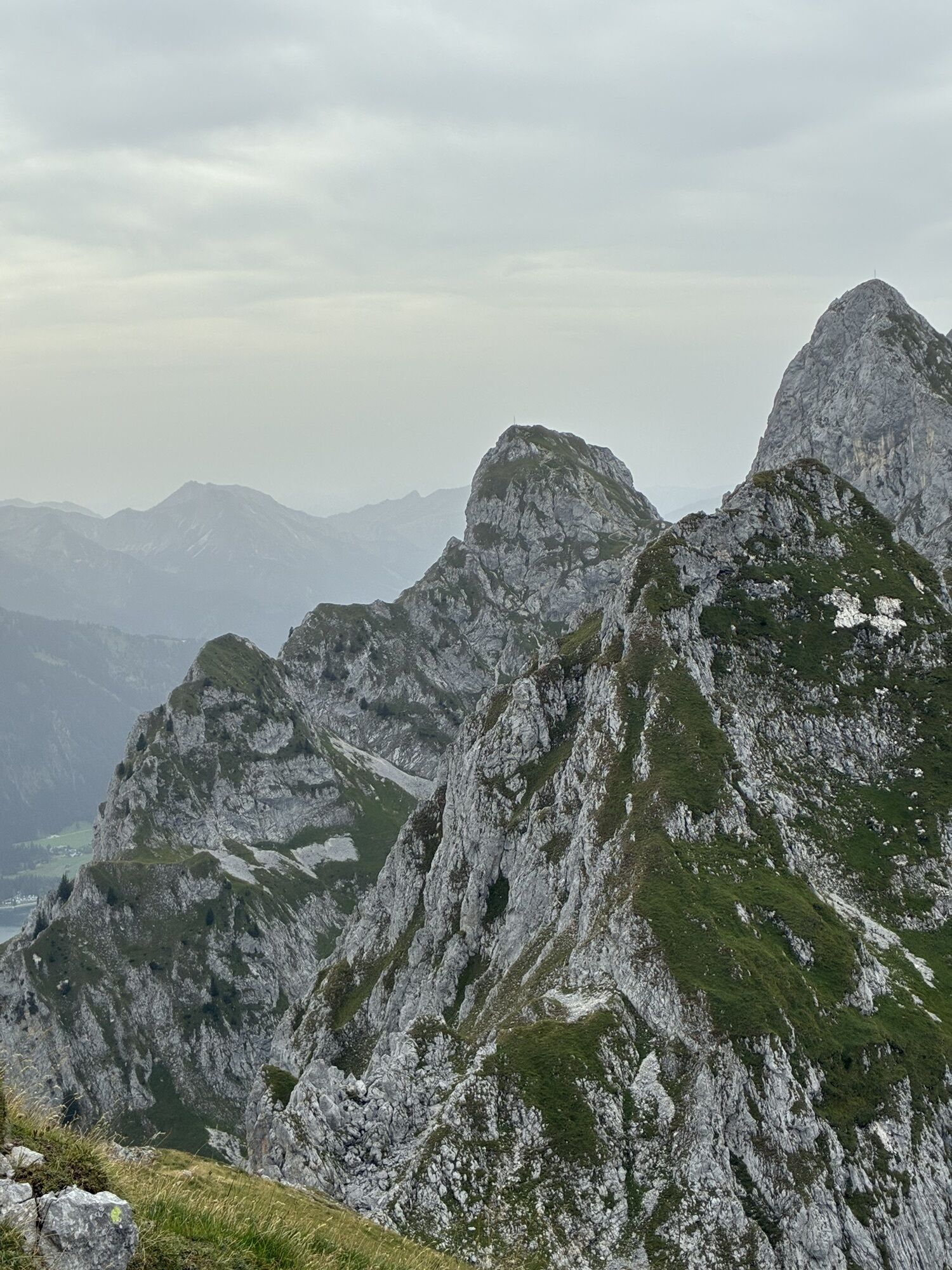
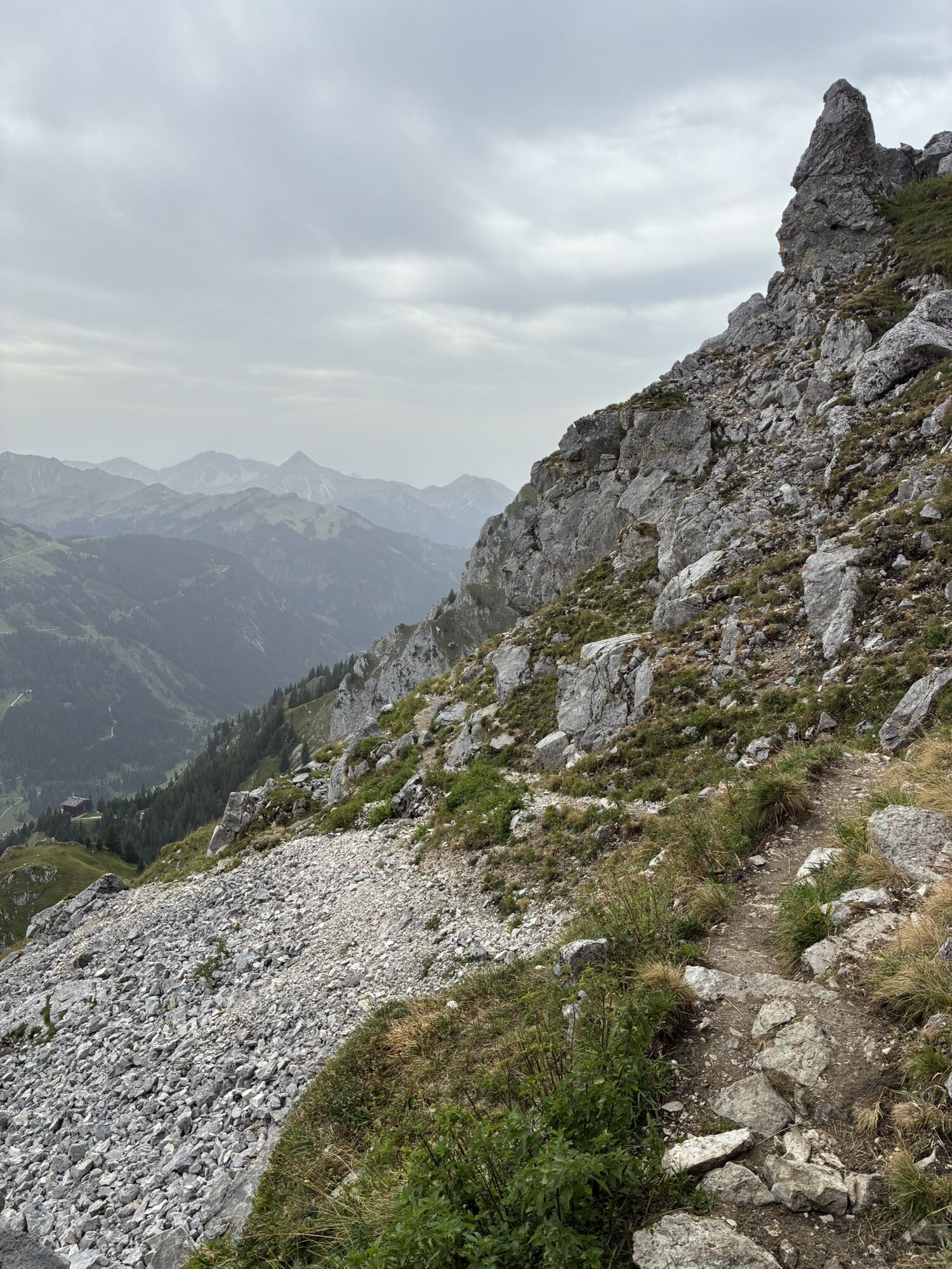
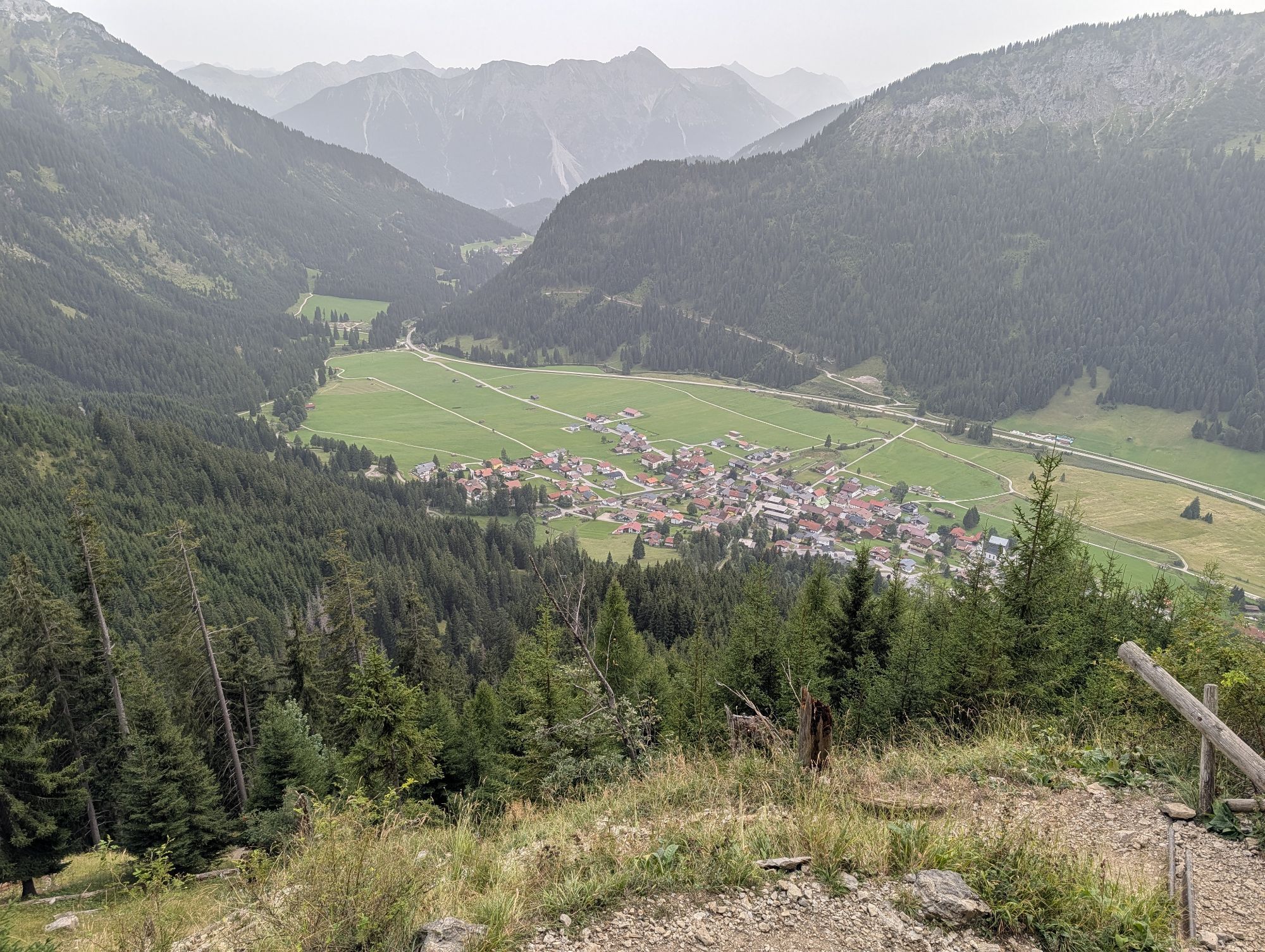
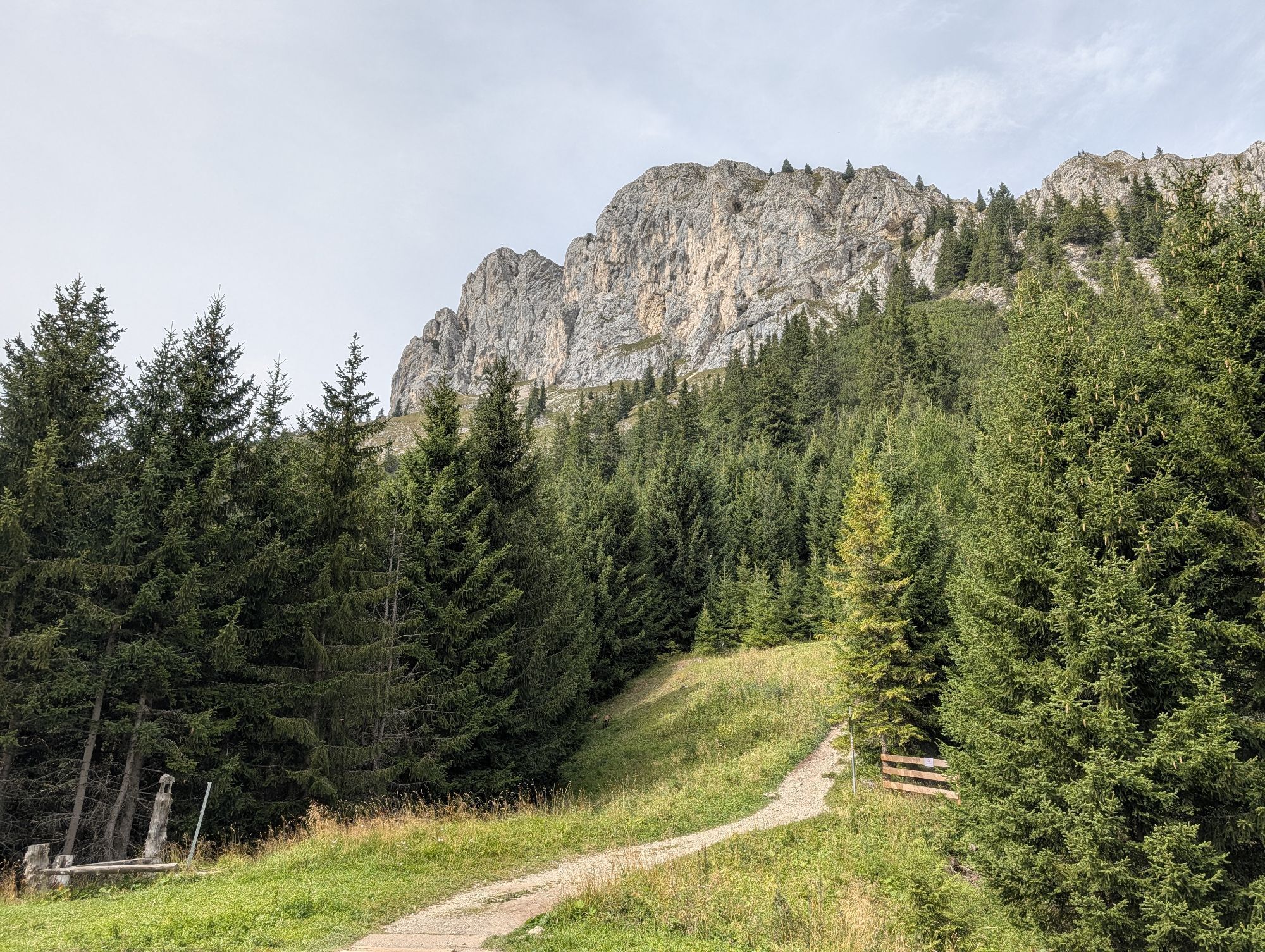
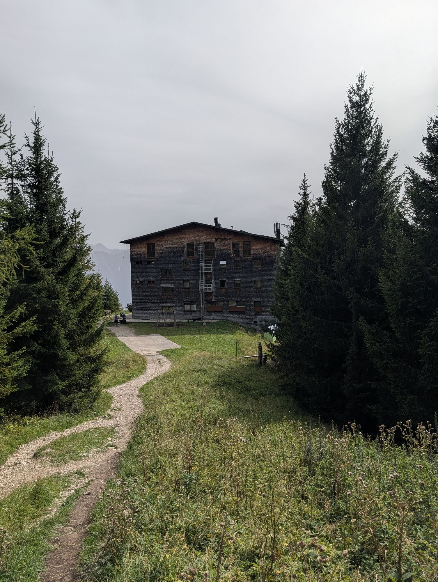
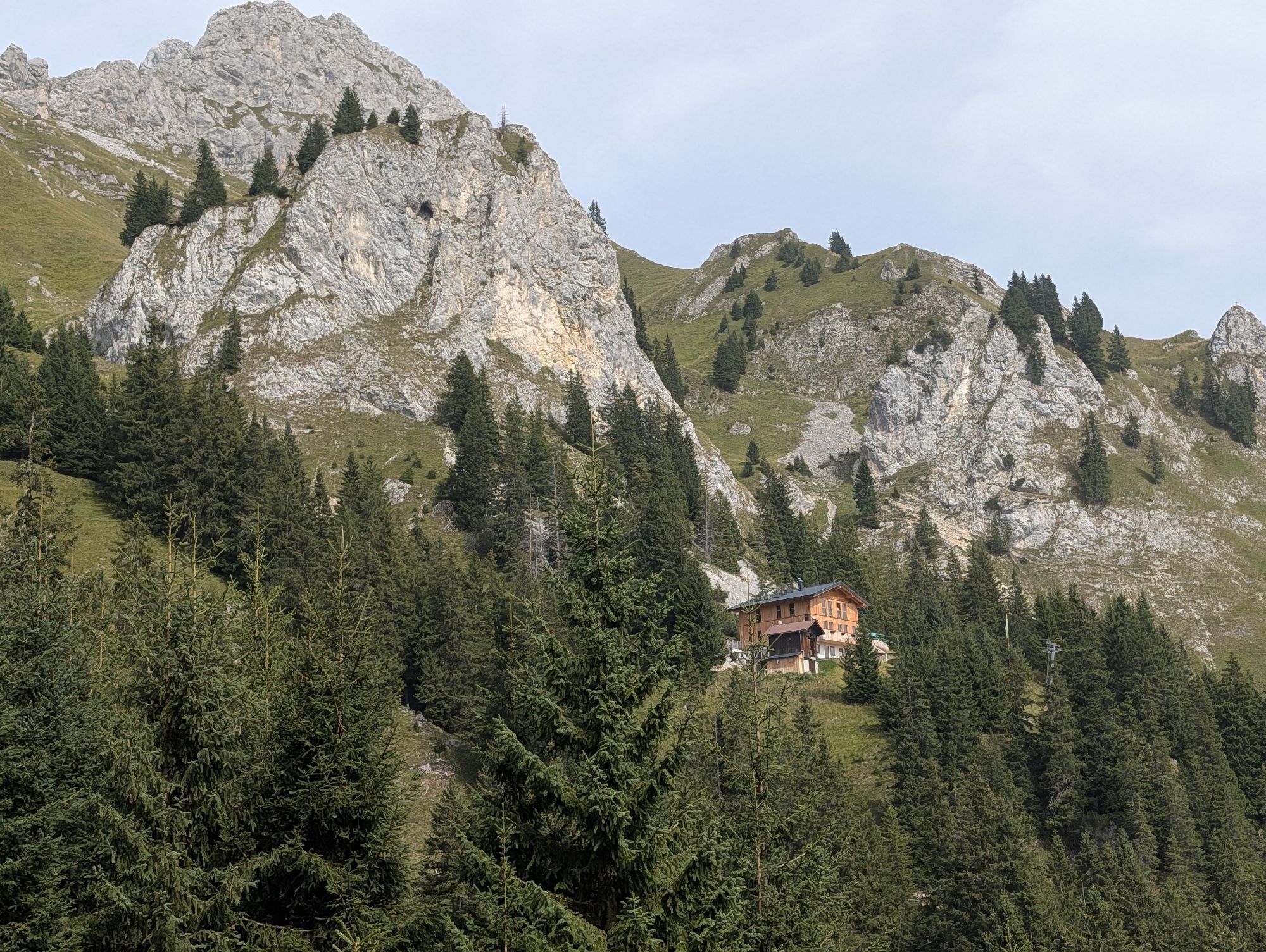
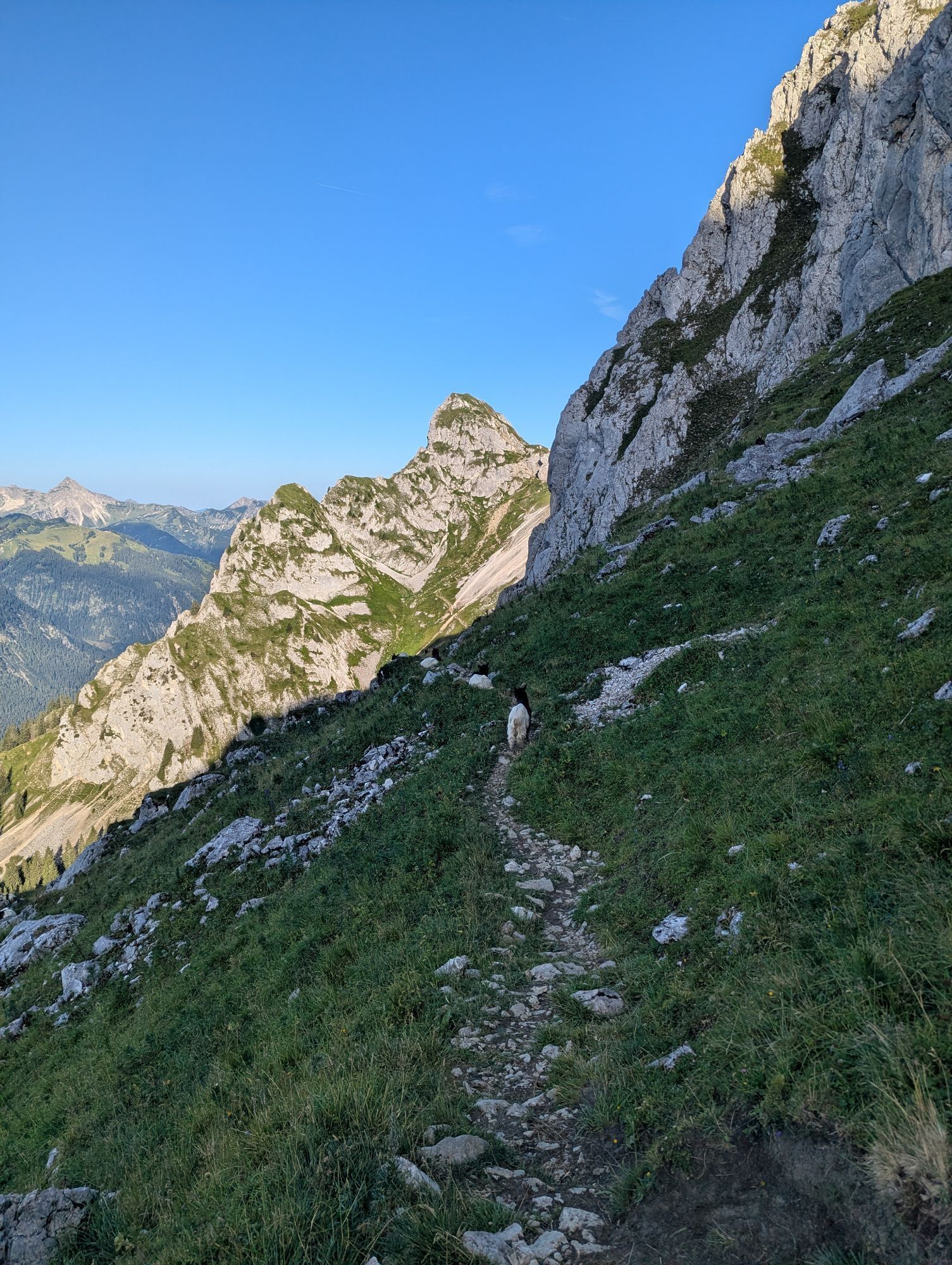
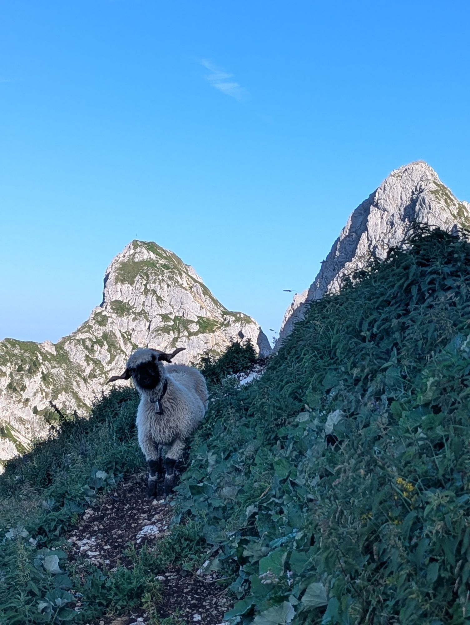
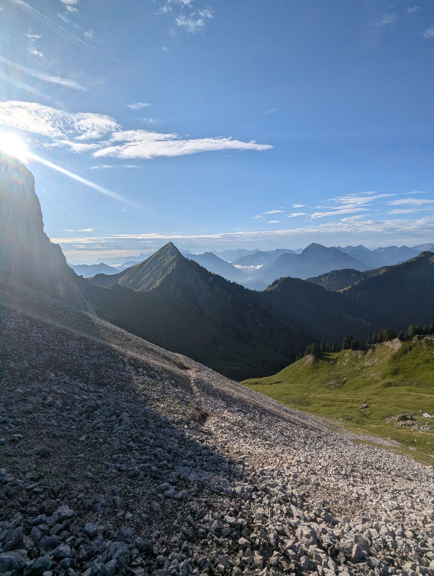


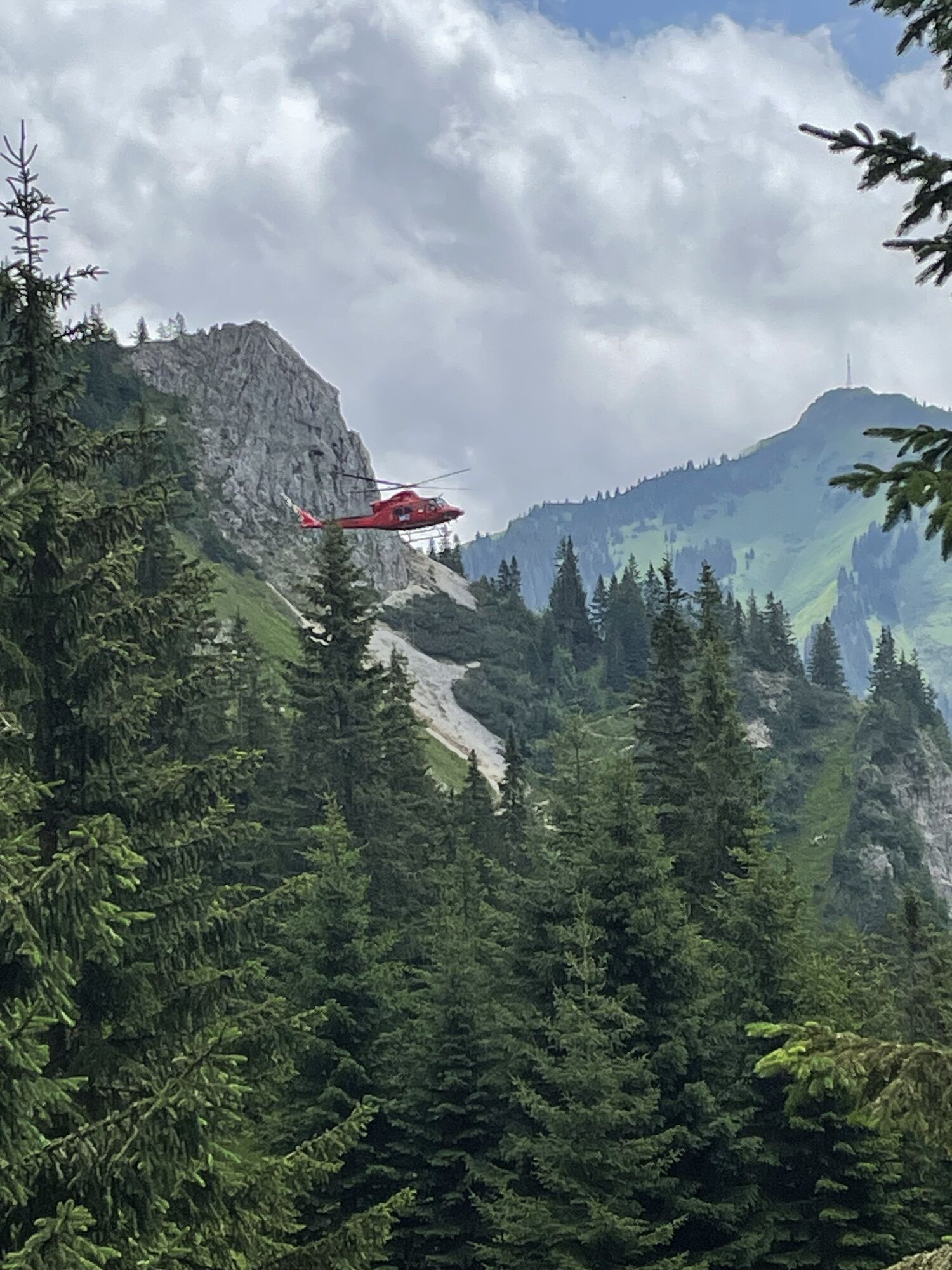
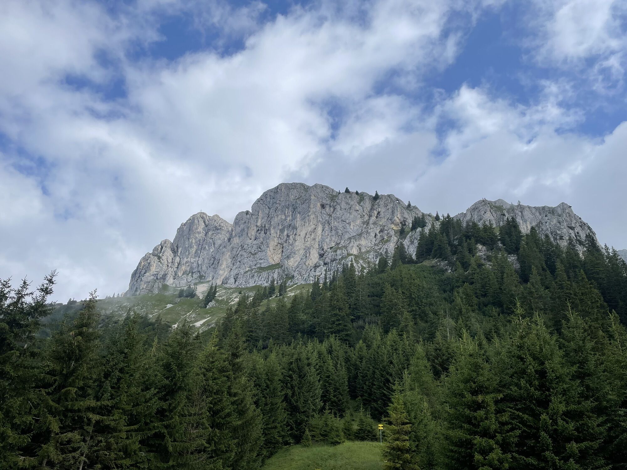
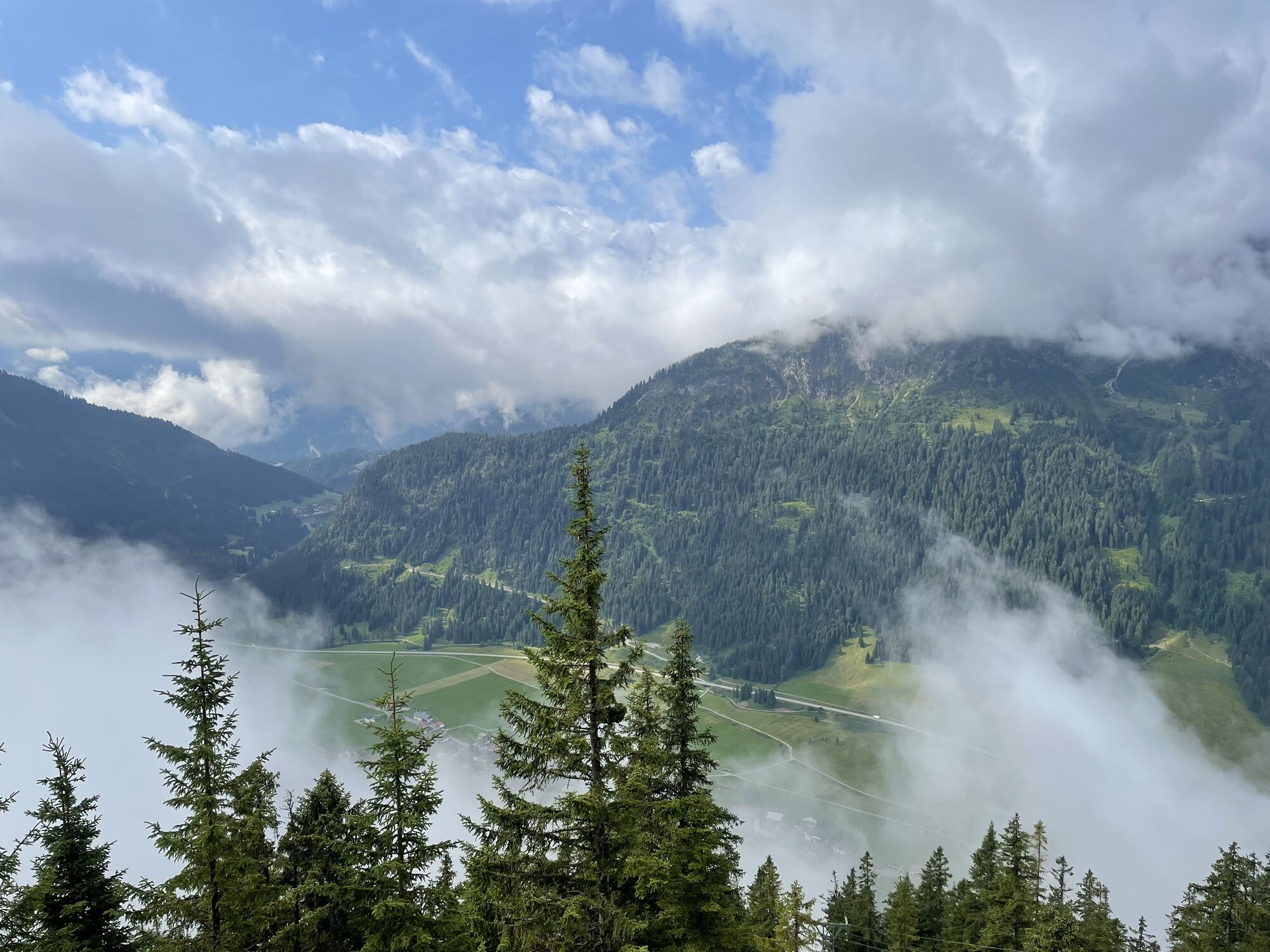
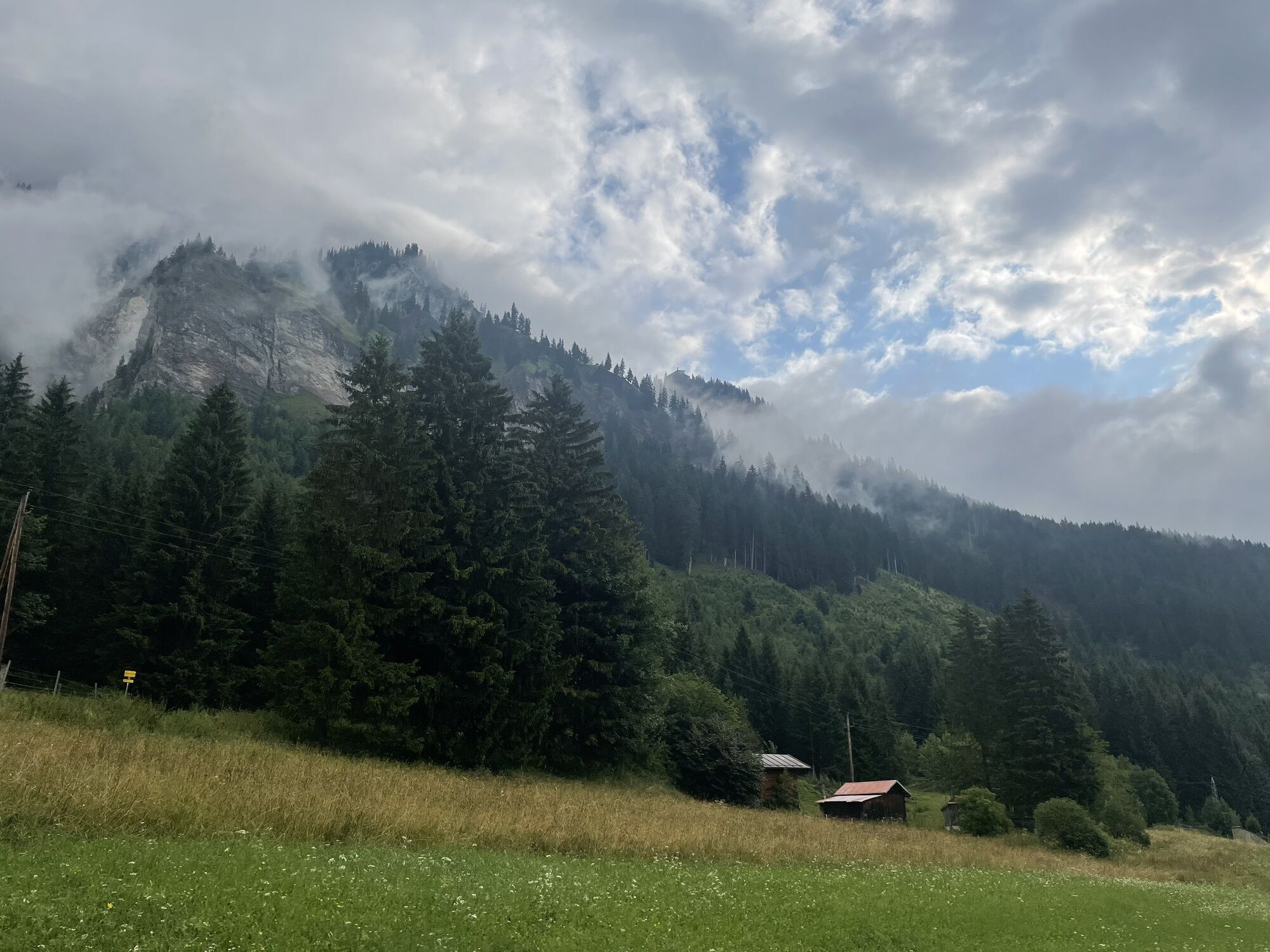
A beautiful, alpine via ferrata on the south side of the Köllenspitze - the route has class! Not only the difficulties, which are more in the upper range with passages up to difficulty level D, distinguish...
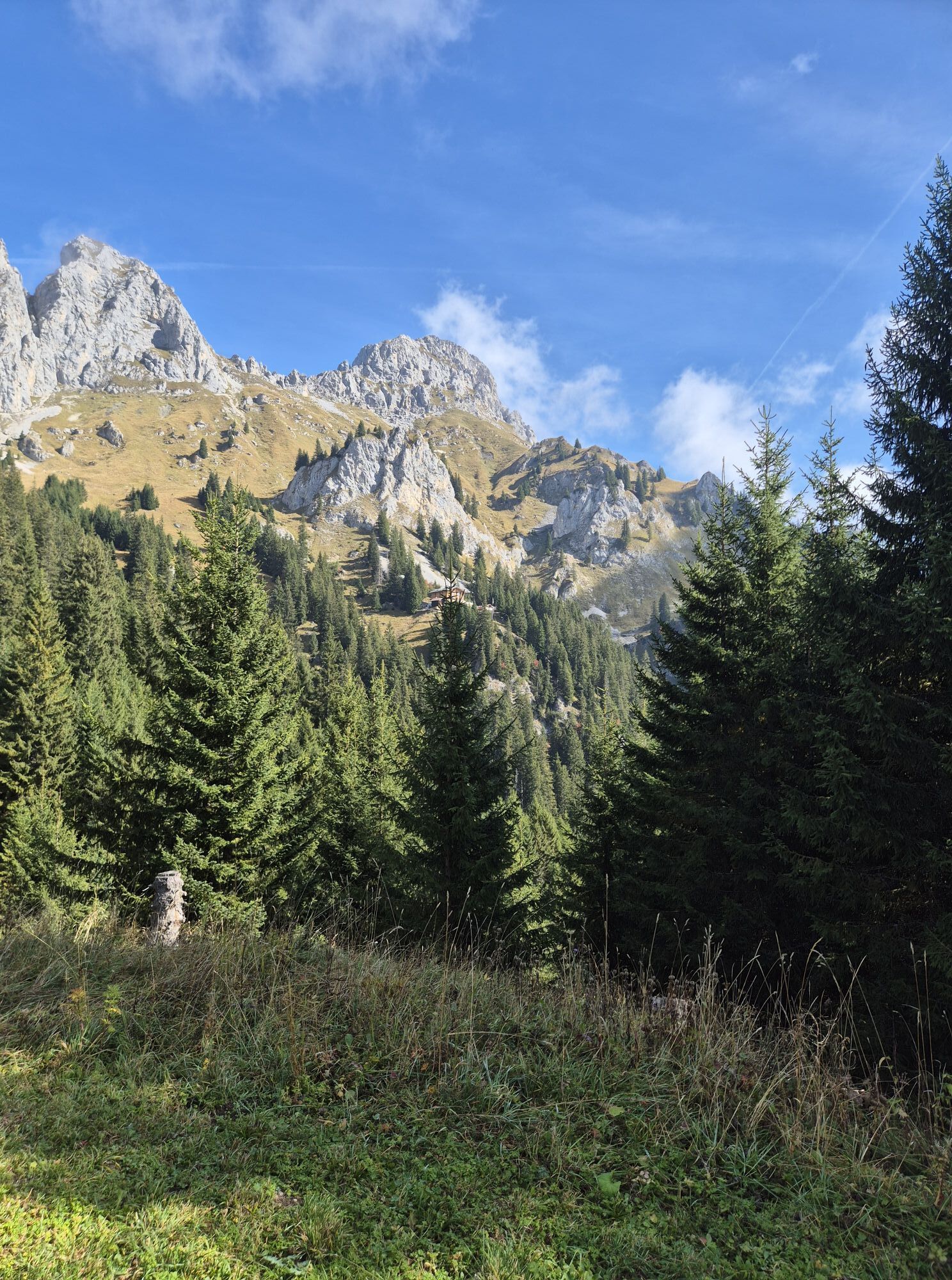
A beautiful, alpine via ferrata on the south side of the Köllenspitze - the route has class! Not only the difficulties, which are more in the upper range with passages up to difficulty level D, distinguish this Ferrata. The mix of a longer ascent, great, difficult sport via ferrata and alpine tricky descent make for the perfect adventure via ferrata day. On the summit you have both the rugged peaks of the Alps in the south and a wonderful view over the Tannheimer Tal.

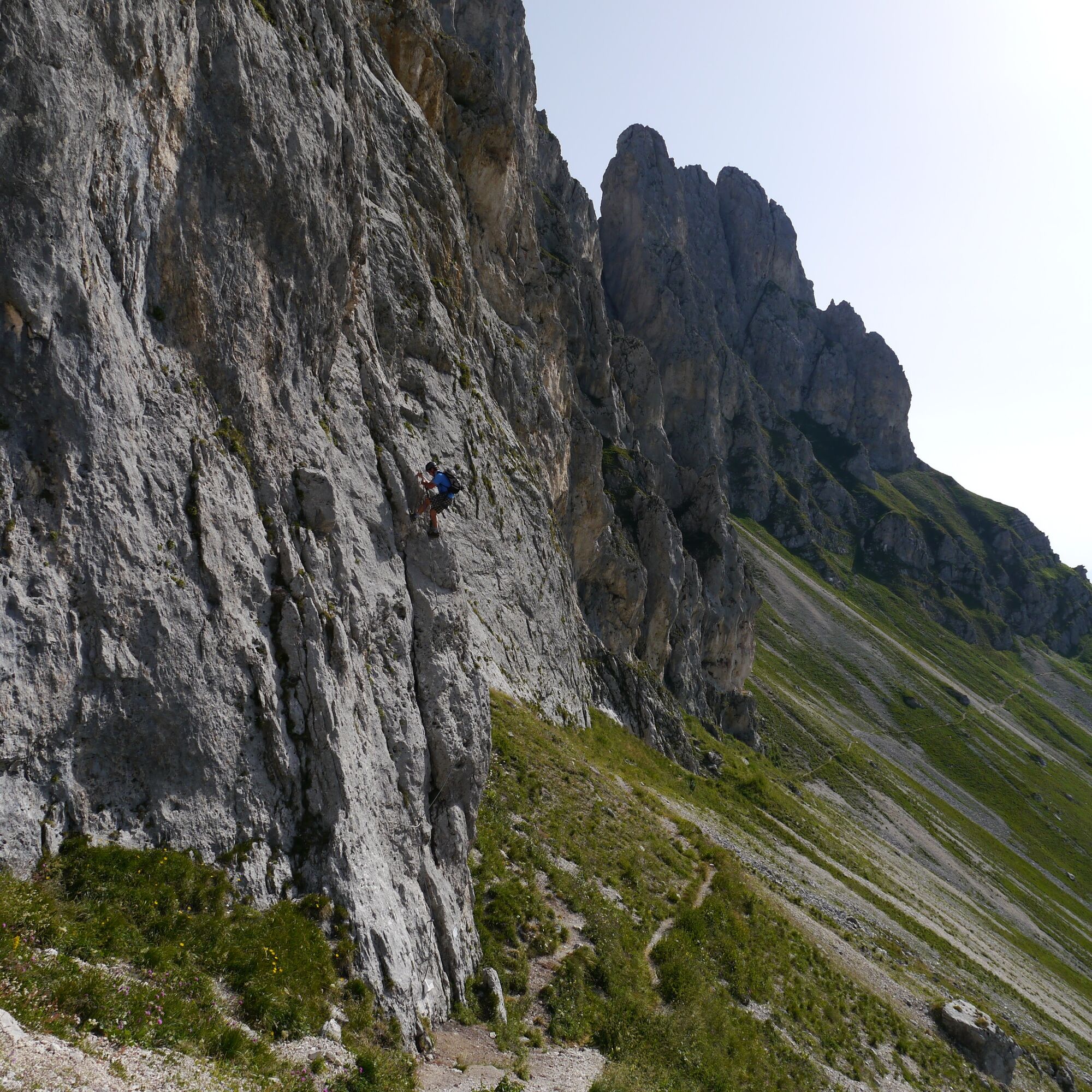
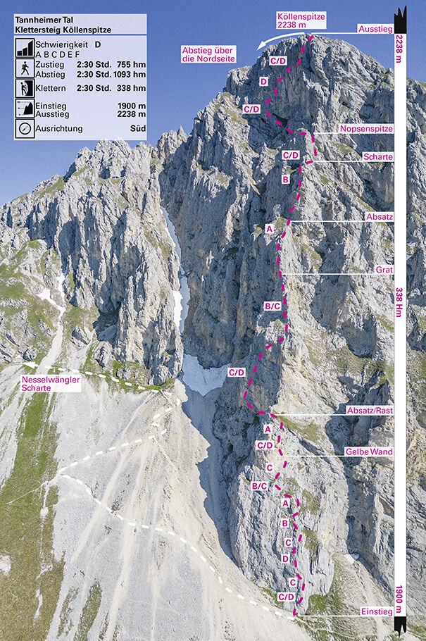
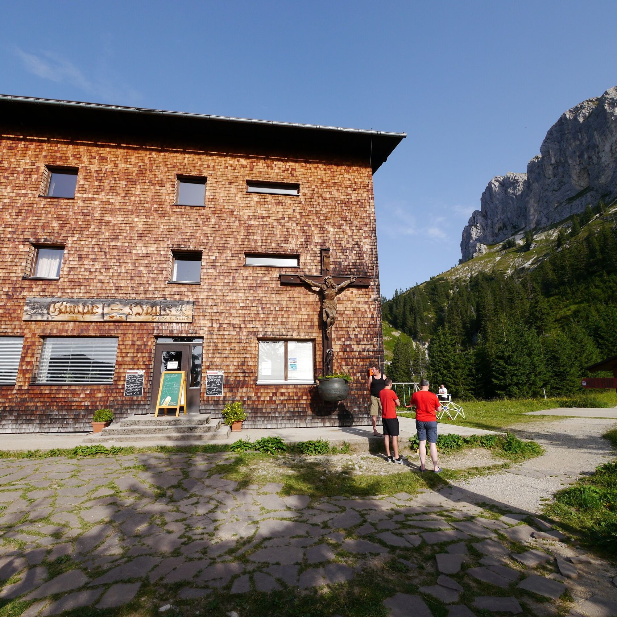
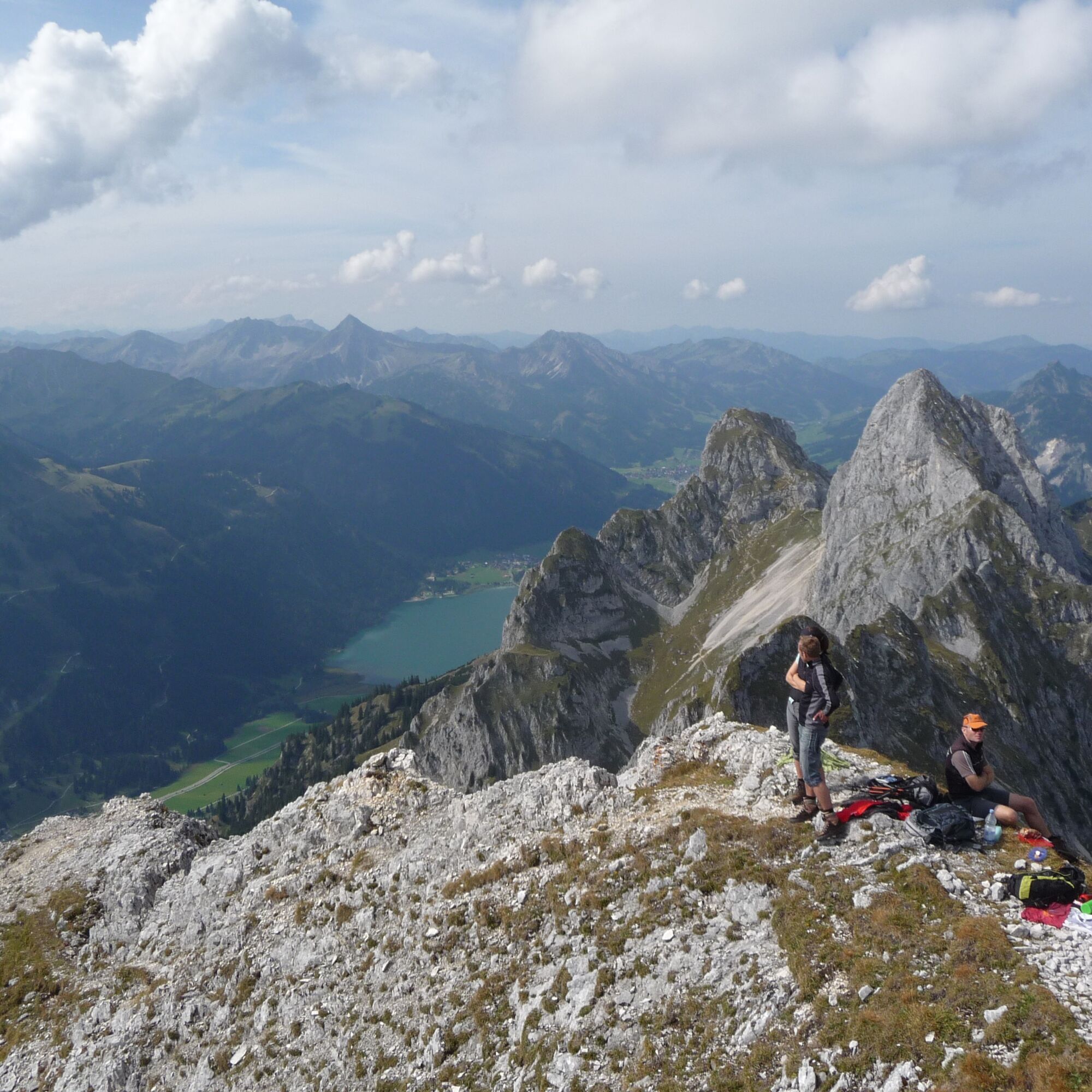
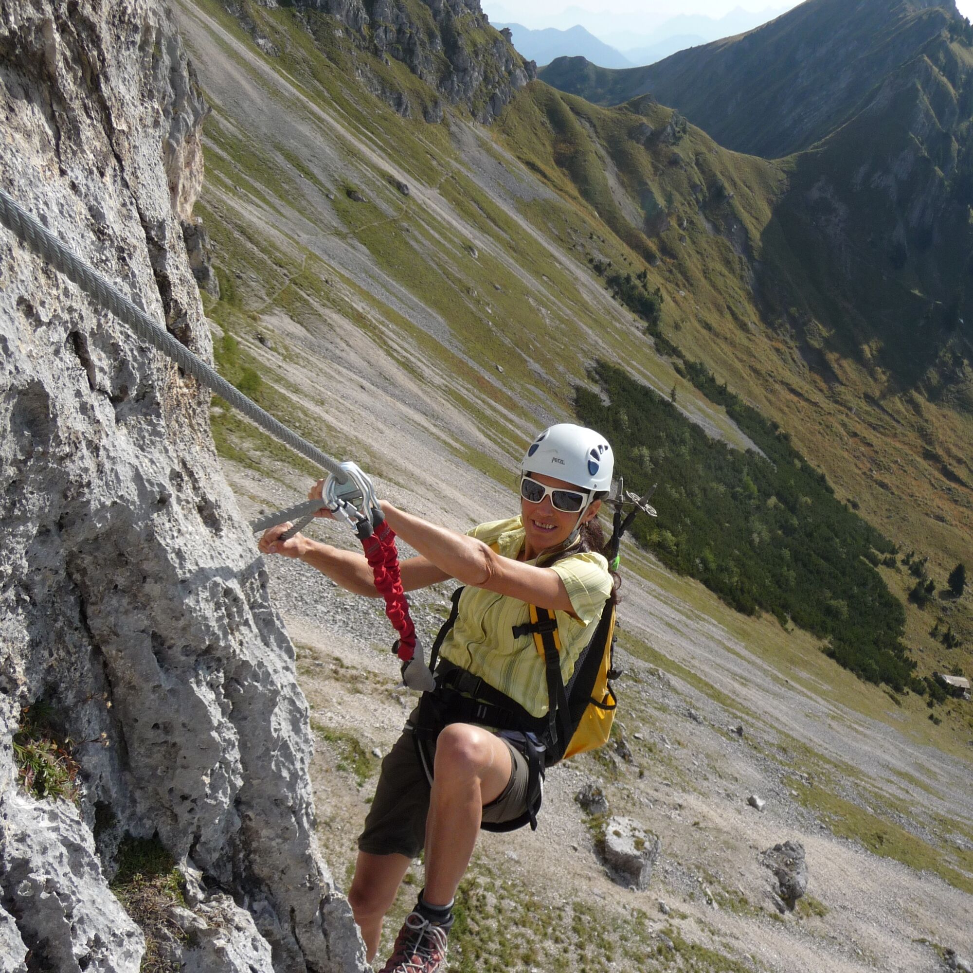
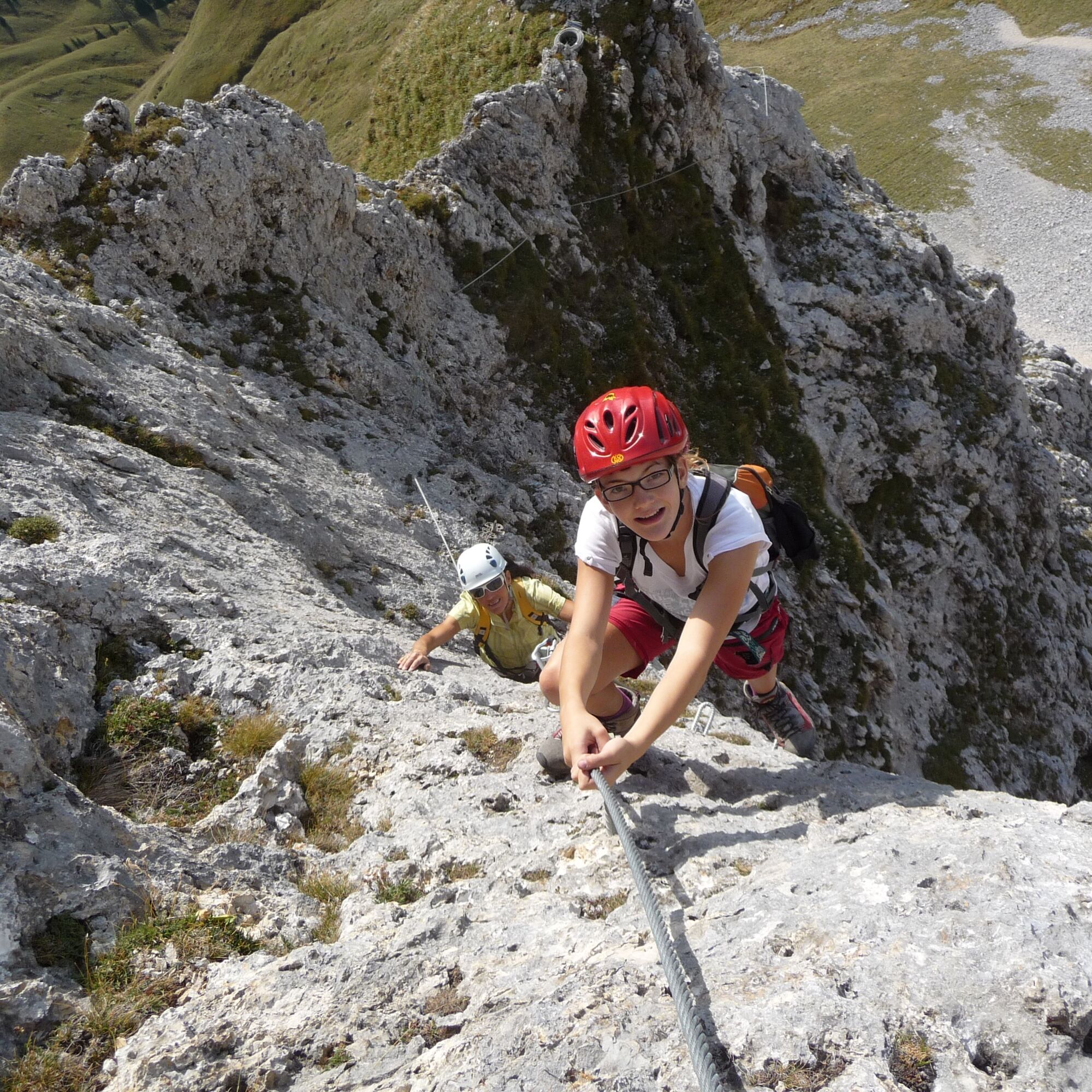
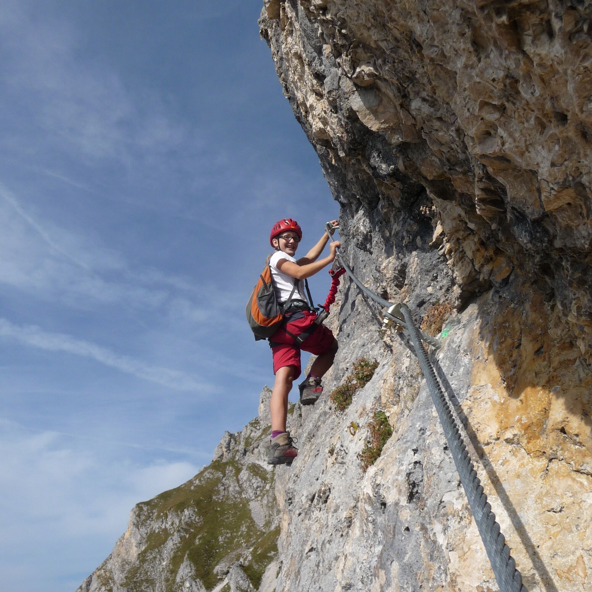

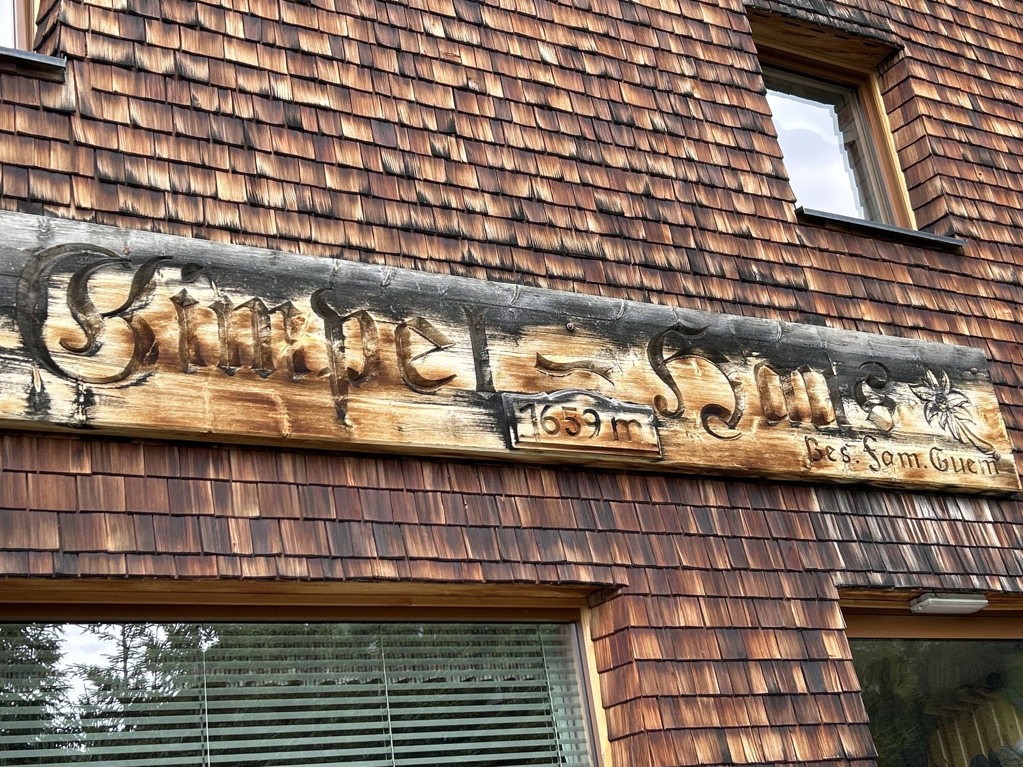
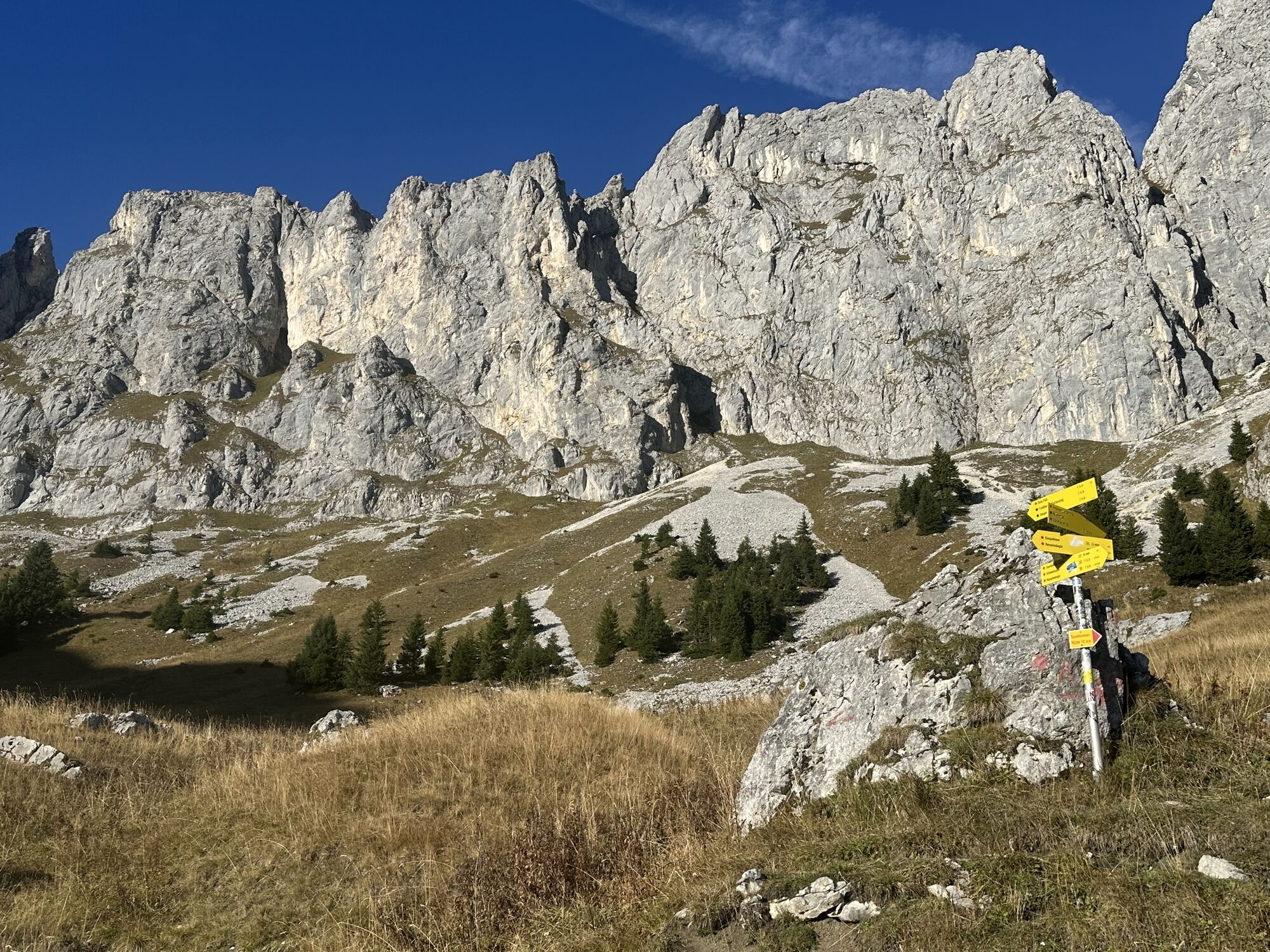
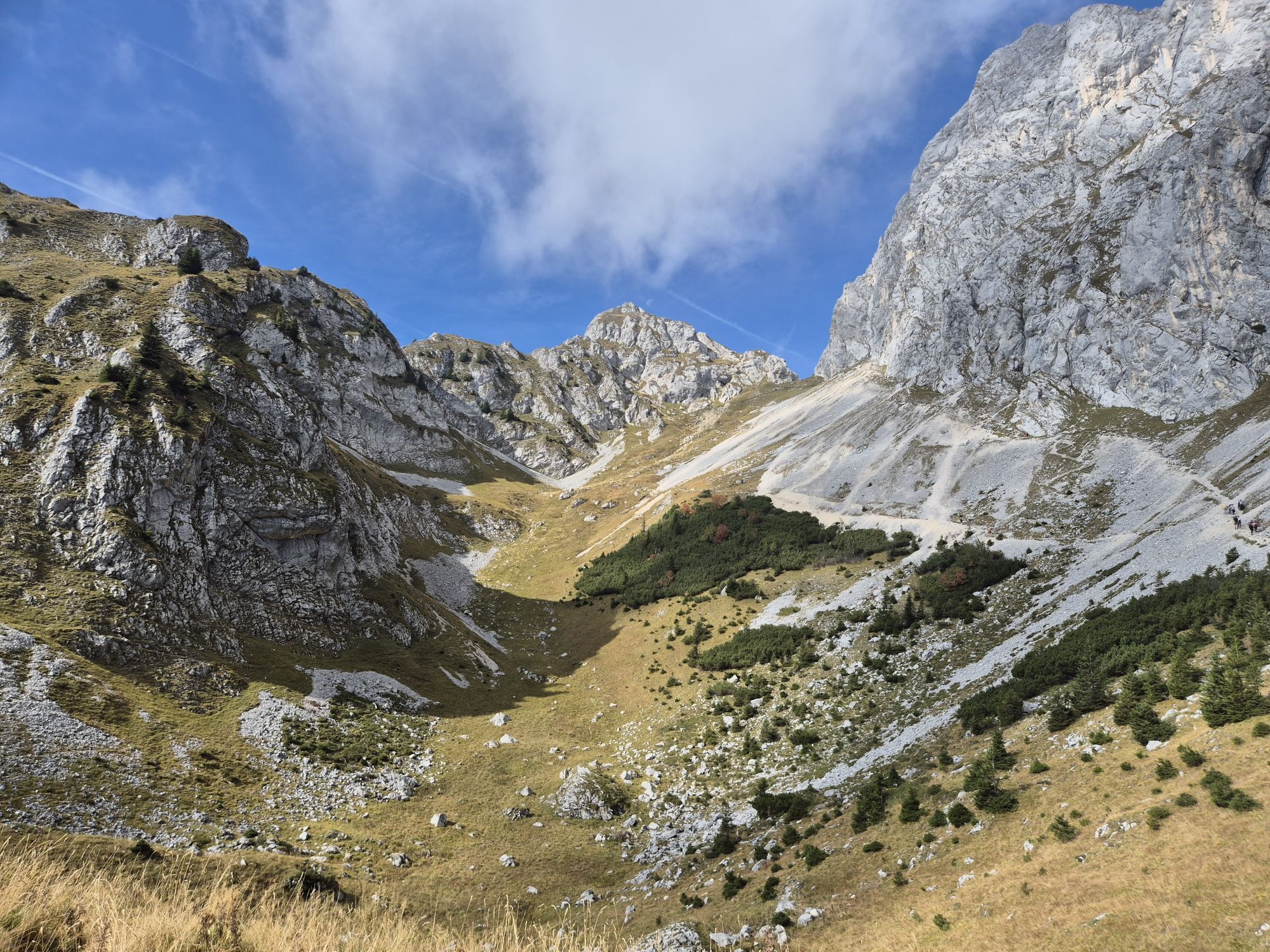
The access is via the Gimpelhaus. From there continue in the direction of Rote Flüh until you turn right after the Gimpelalpe to the Nesselwängler Scharte. Immediately before the Scharte, turn right to the foot of the Köllenspitze south face (red dot markings, at the end in the gravel field it is better to put on your helmet).
The via ferrata itself is in difficulty level D, but also has passages with A and B. There are two rest areas but no possibility to get off.
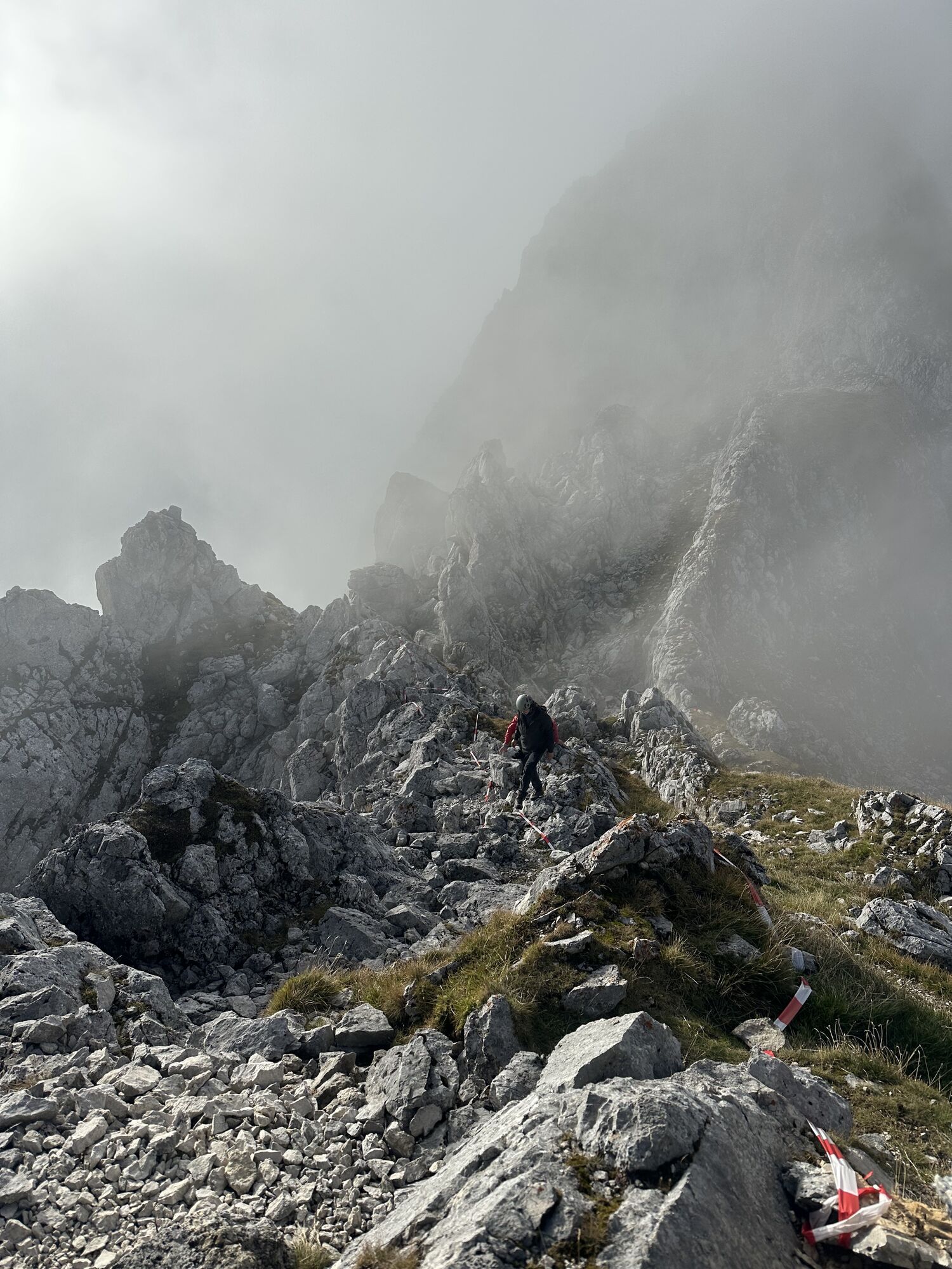
Descent: From the summit first north on climbing tracks into a channel, then descend left (west) in the channel until you reach a steep step (rope belay; C/D). Continue down in the gully until you cross a crag on the left and ascend again through a gully. Behind the edge, descend over partly steep gravel terrain (passages 1-) to the Nesselwängler Scharte (2007 m). There again on the south side and on the access path back to the valley.
Attention: The descent is alpine! Climbing spots up to 1, partly exposed and brittle. Dangerous in snowy and wet conditions (the snow lasts quite long on the north side in spring, ask the Gimpelhaus or the Tannheimer Hütte for information about the conditions). Long via ferrata tour which should only be done in stable weather.
Ja
Ja
Ja
Die persönliche Bergsportausrüstung muss sicher und gebrauchsfähig sein und dem jeweiligen technischen Standard entsprechen. Jedem Wanderer wird empfohlen, sich in alpiner Fachliteratur oder vor Ort über die geplanten Touren zu informieren.
Es ist zu beachten, dass im Bergsport ein erhöhtes Unfall- und Verletzungsrisiko bestehen kann. Trotz umsichtiger Tourenplanung bleibt immer ein Basisrisiko bestehen. Eine Tourenvorbereitung durch Ausdauersport, entsprechendes technisches Training und Fortbildung sowie persönliche Umsichtigkeit mindert die Unfallgefahr und die Risiken. Vergessen Sie aber bitte nie, dass das Wetter in den Bergen sehr schnell umschlagen kann. Bleiben Sie auf den markierten Wanderwegen.
Auf der Autobahn A7 bei der Ausfahrt "Oy-Mittelberg" auf der B310 Richtung Wertach und nach Oberjoch. Dort der Ausschilderung "Tannheimer Tal" B199 folgen, Ausfahrt Nesselwängle Parkplatz Gimpelhaus.
Von Tiroler Seite über Reutte auf die B198 Richtung Lechtal bis Weißenbach, über den Gaichtpass entlang der B199, Nesselwängle bis Ausfahrt Parkplatz Gimpelhaus.
Mit dem Zug nach Sonthofen, Pfronten/Ried oder Reutte, weiter mit dem Bus nach Nesselwängle - Haltestelle Abzw. Krinnenalplift.
Gimpelhausparkplatz in Nesselwängle - gebührenpflichtig
D
Startpunkt ist Nesselwängle (Parkplatz Krinnenalpe). Von dort übers Gimpelhaus zur Tannheimer Hütte (ca. 2 Stunden). Von der Hütte führt der markierte Weg Richtung Köllenspitze zum Einstieg des Klettersteigs (ca. 45 Minuten ab Hütte).
Abstieg
Vom Gipfel erfolgt der Abstieg über den markierten Normalweg (teils drahtseilgesichert, Stellen I–II) zurück zur Tannheimer Hütte. Von dort auf dem bekannten Zustiegsweg ins Tal. Gesamte Abstiegzeit ca. 2,5–3 Stunden.



Webcams der Tour
Neunerköpfle Mittelstation
Haldensee - Neunerköpfle
Wängle - Panoramahotel Talhof
Neunerköpfle Mittelstation
Neunerköpfle Mittelstation
Neunerköpfle Mittelstation
Neunerköpfle Mittelstation
Neunerköpfle Mittelstation
Neunerköpfle Mittelstation
Neunerköpfle Mittelstation
Panoramarestaurant Hahnenkamm
Grän - Hotel Bergblick
Füssener Jöchle Bergstation
Füssener Jöchle Bergstation
Füssener Jöchle Bergstation
Füssener Jöchle Bergstation
Füssener Jöchle Bergstation
Füssener Jöchle Bergstation
Füssener Jöchle Bergstation
Füssener Jöchle Bergstation
Haller
Gundhütte - Tannheimertal

Aktivitäten entlang der Tour

Nesselwängle, Tirol/Österreich
17.10.2026 – Wanderung
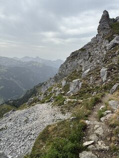
Kellenspitze, Tirol/Österreich
27.08.2026 – Bergwandern
Nesselwängle Köllespitz
24.07.2026 – Klettersteig
Nesselwängle, Tirol/Österreich
26.06.2026 – Wanderung
Nesselwängle, Tirol/Österreich
17.06.2026 – WanderungNesselwängle, Tirol/Österreich
14.05.2026 – Wanderung
Nesselwängle, Tirol/Österreich
23.08.2025 – Wanderung
Beliebte Touren in der Nähe
- 4,9
Thaneller
mittelWanderung 4,90 km - 4,6
Almkopf Rundweg
mittelWanderung 2,60 km - 4,9
Bergtour auf den Breitenberg
schwerWanderung 15,6 km - 4,8
Zur Bad Kissinger Hütte über den Gräner Höhenweg
mittelWanderung 13,0 km - 4,8
Hönig und Sattelkopf
mittelWanderung 11,6 km - 4,7
Gipfelbergtour auf den Aggenstein
schwerWanderung 15,3 km - 4,7
Panoramawanderung zur Ostlerhütte
mittelWanderung 5,11 km - 4,6
Rund um den Weißensee
leichtWanderung 6,12 km - 4,5
Rundwanderung Dreh- und Rohrkopfhütte
leichtWanderung 8,76 km - 4,1
Drehhütte
leichtWanderung 3,34 km
Wandern & Tracking


Verpasse keine Angebote und Inspirationen für deinen nächsten Urlaub
Deine E-Mail-Adresse wurde in den Verteiler eingetragen.


