





02 - Around the Kaiser Mountains and the Hohe Salve
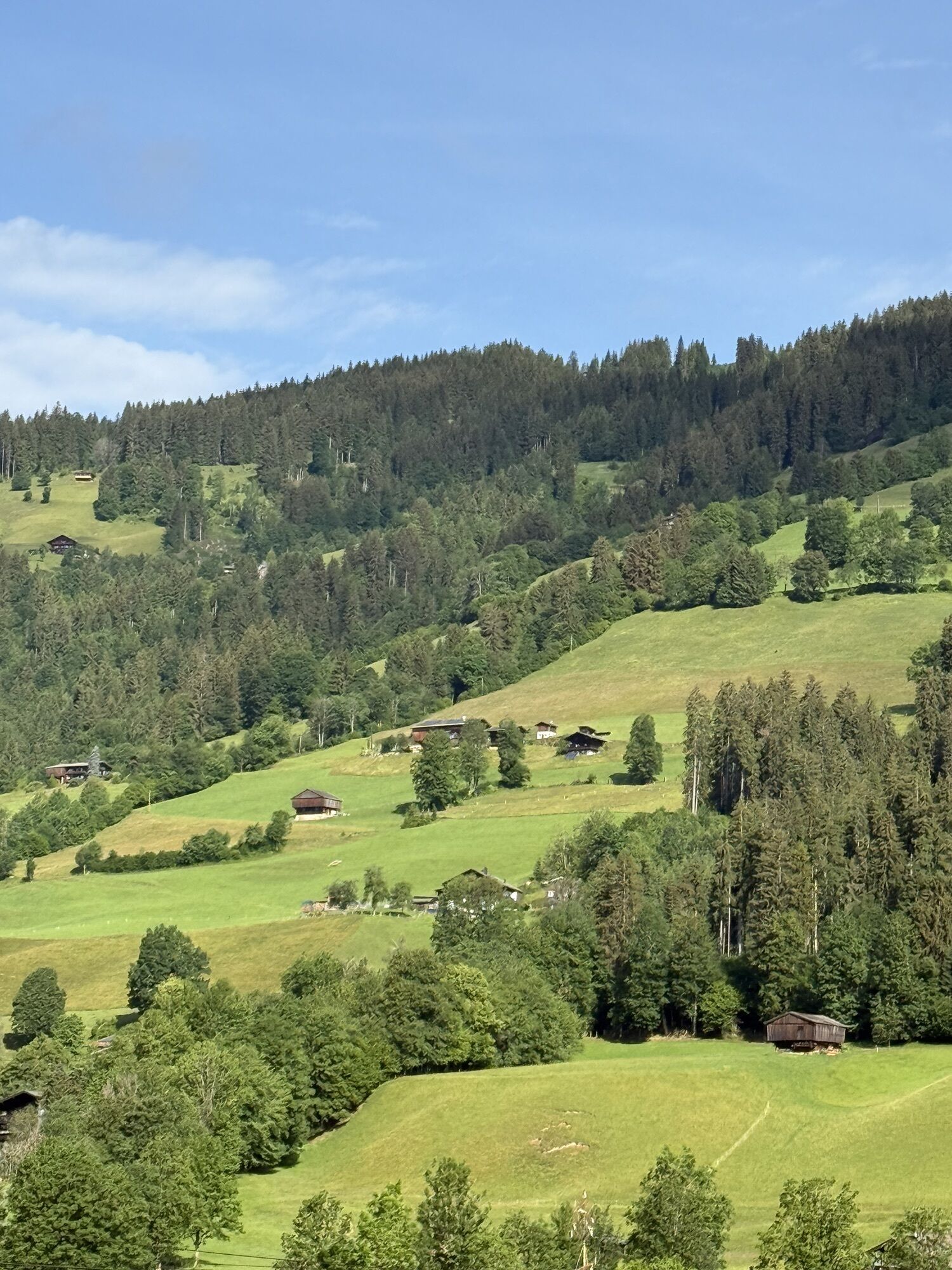
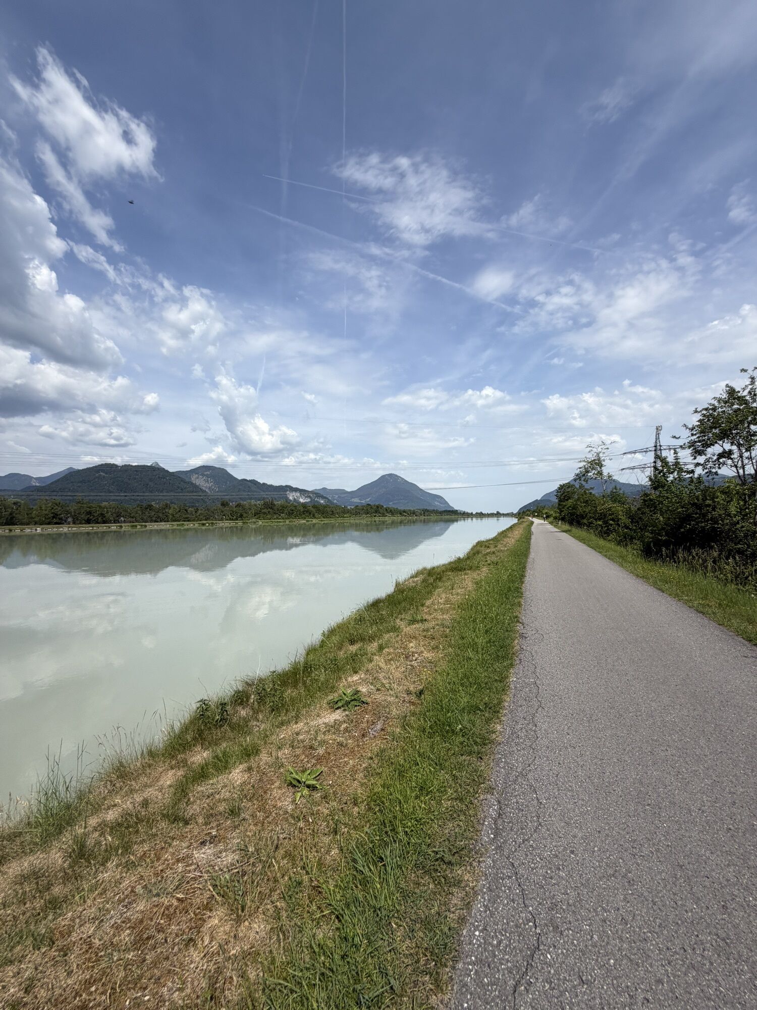
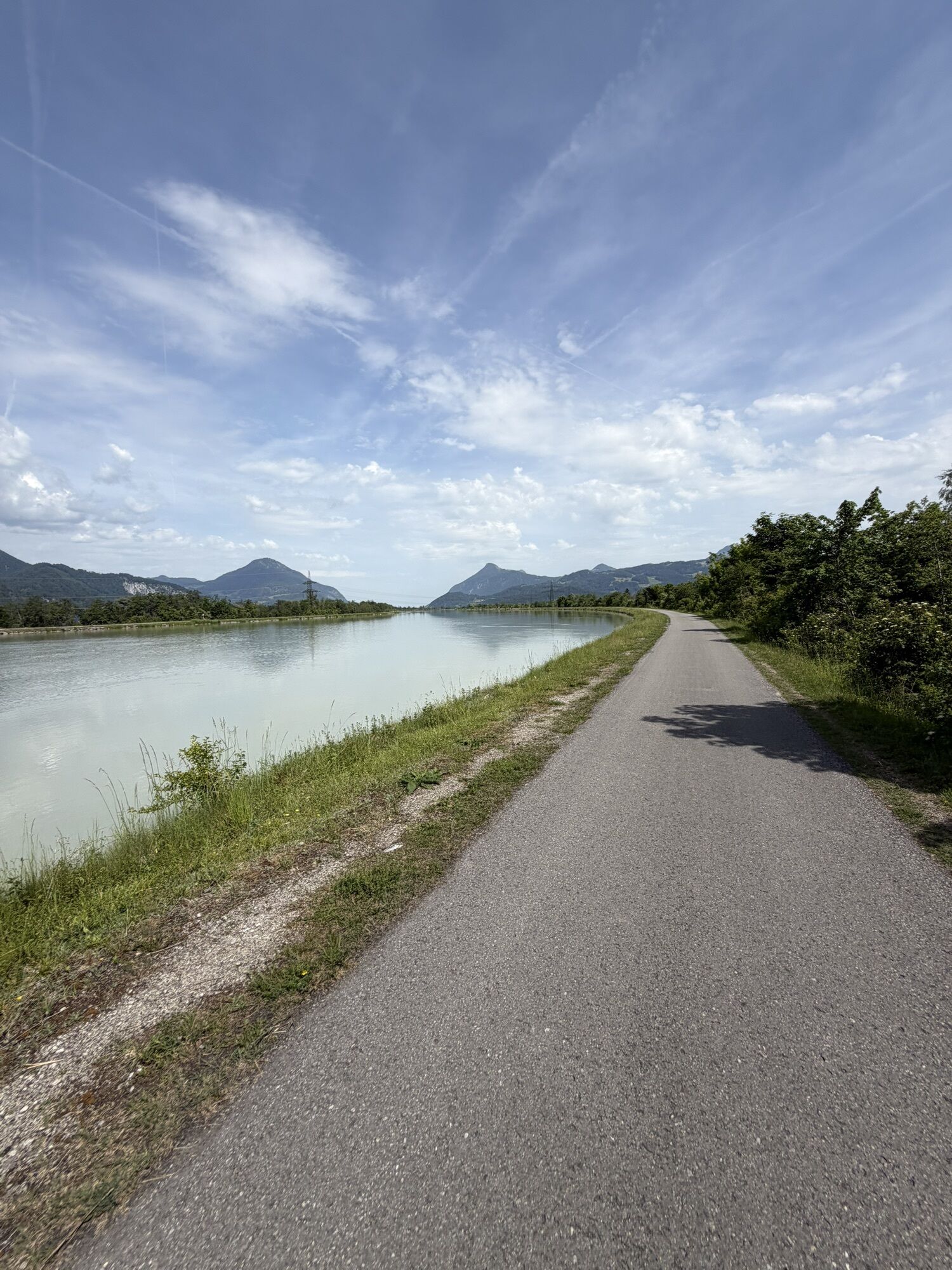
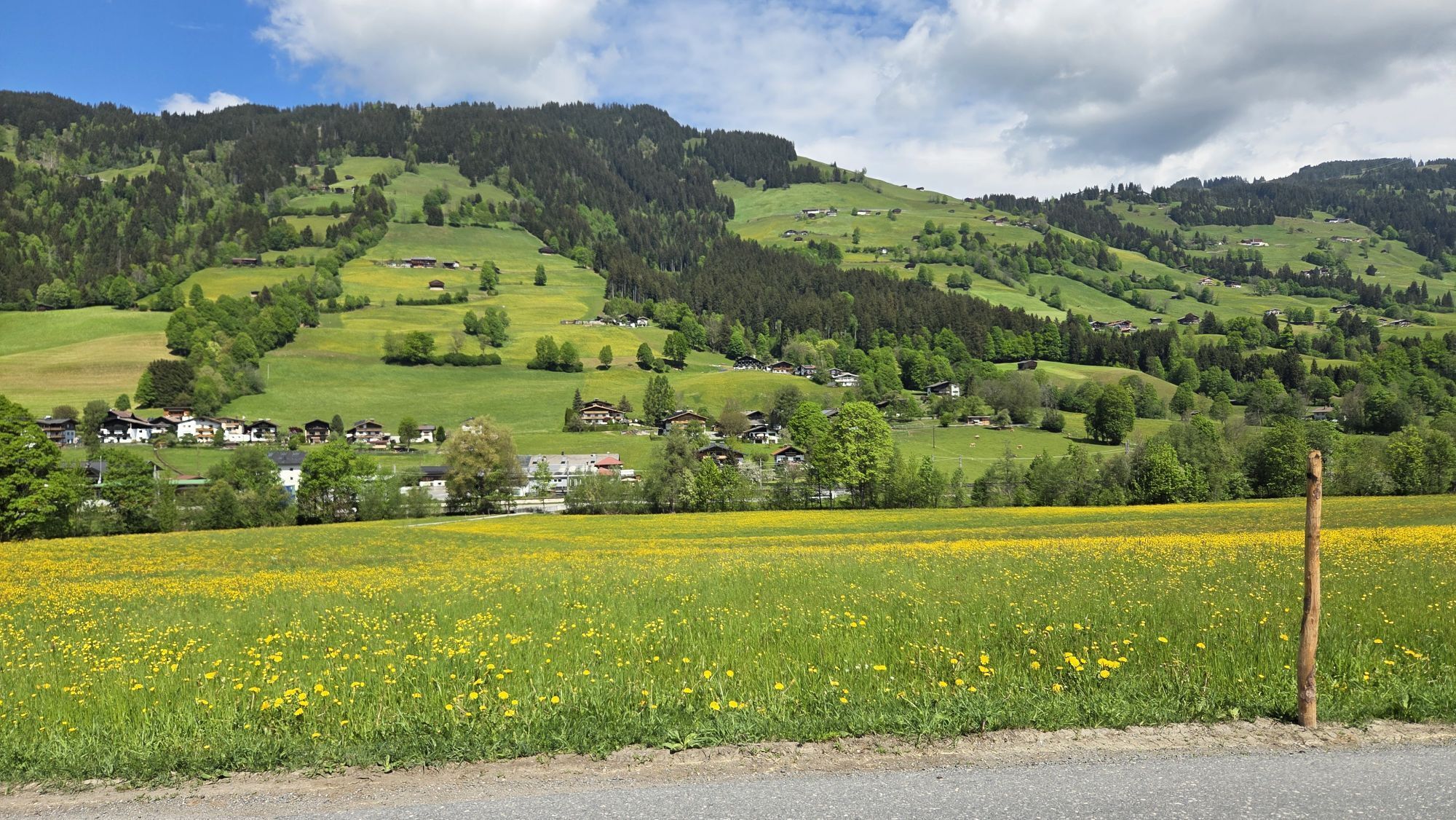
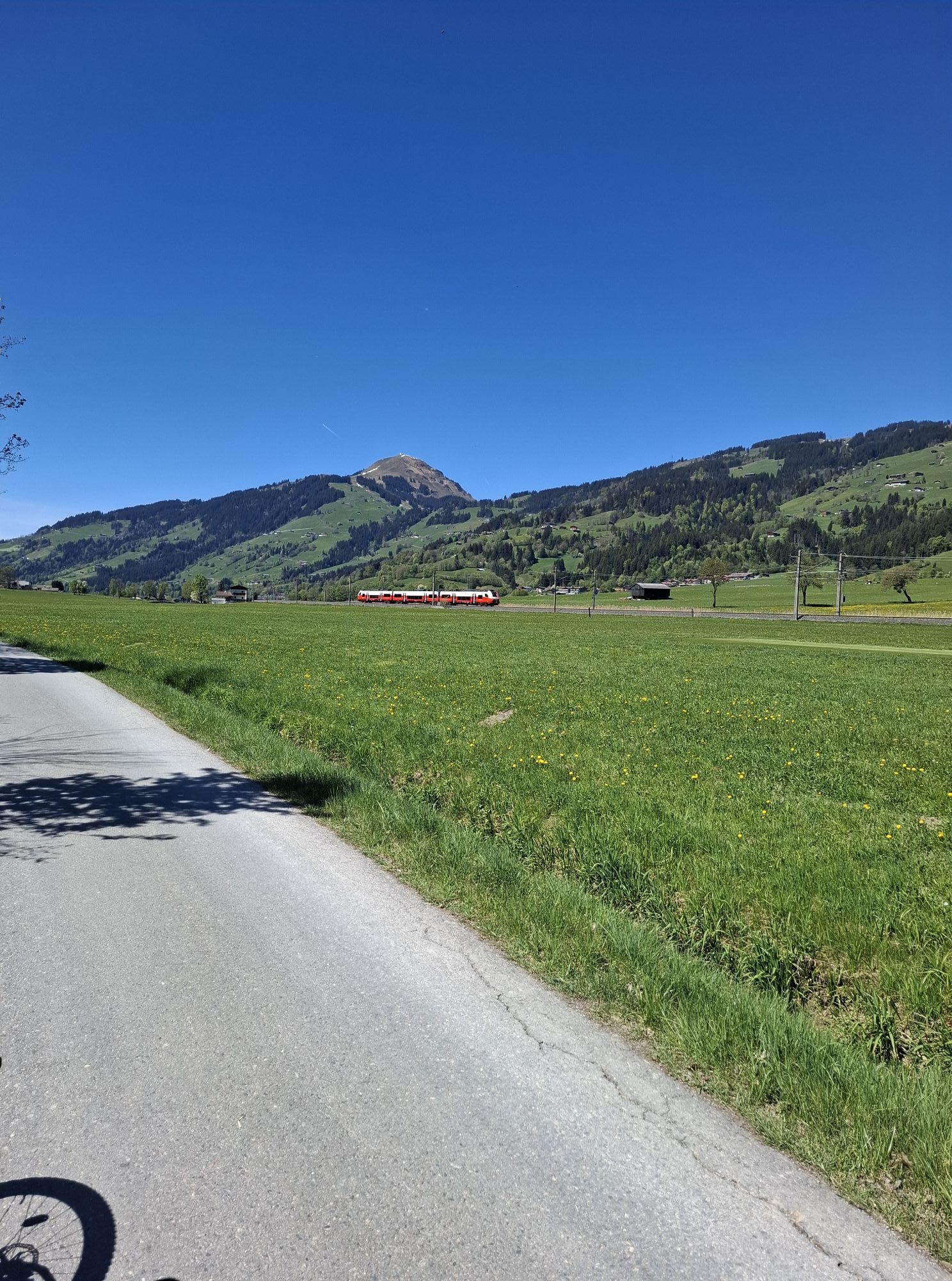
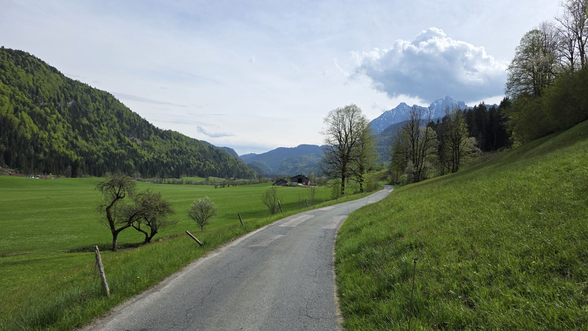
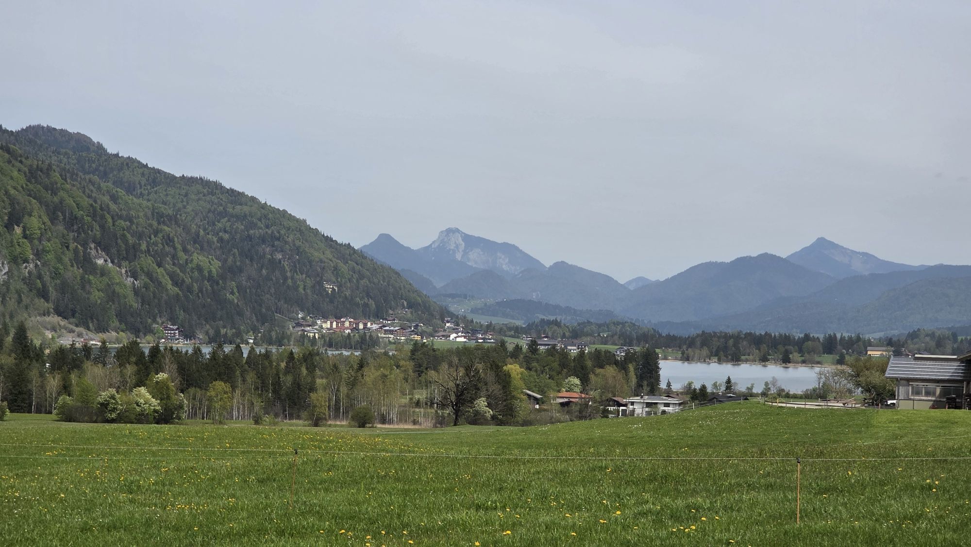
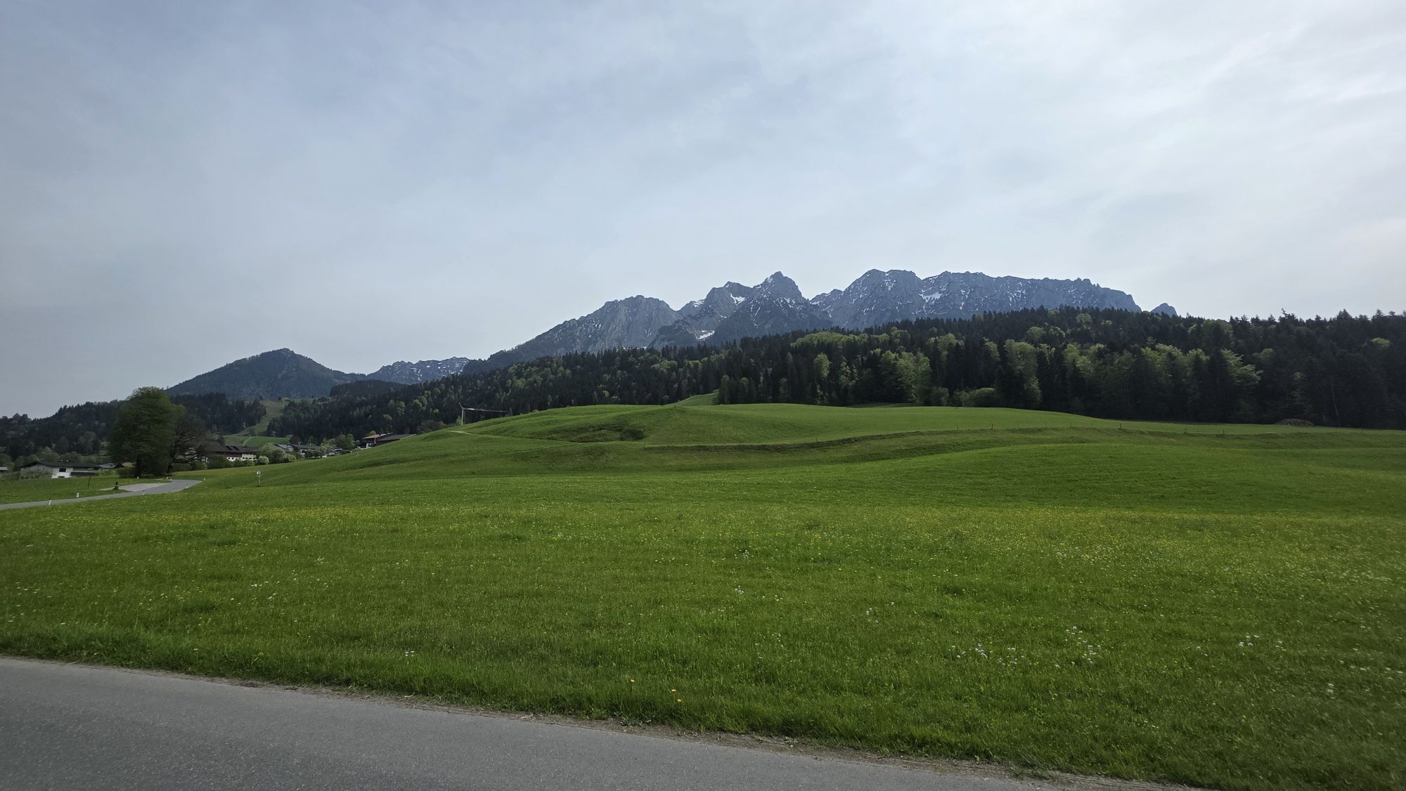
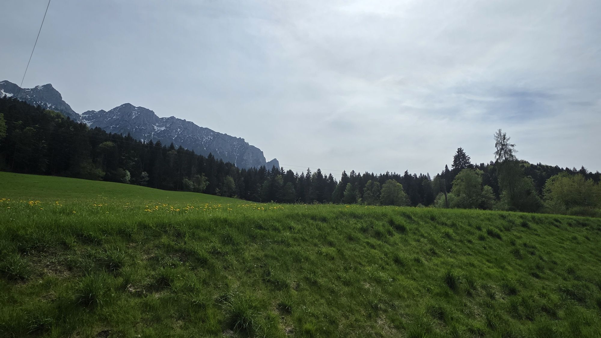
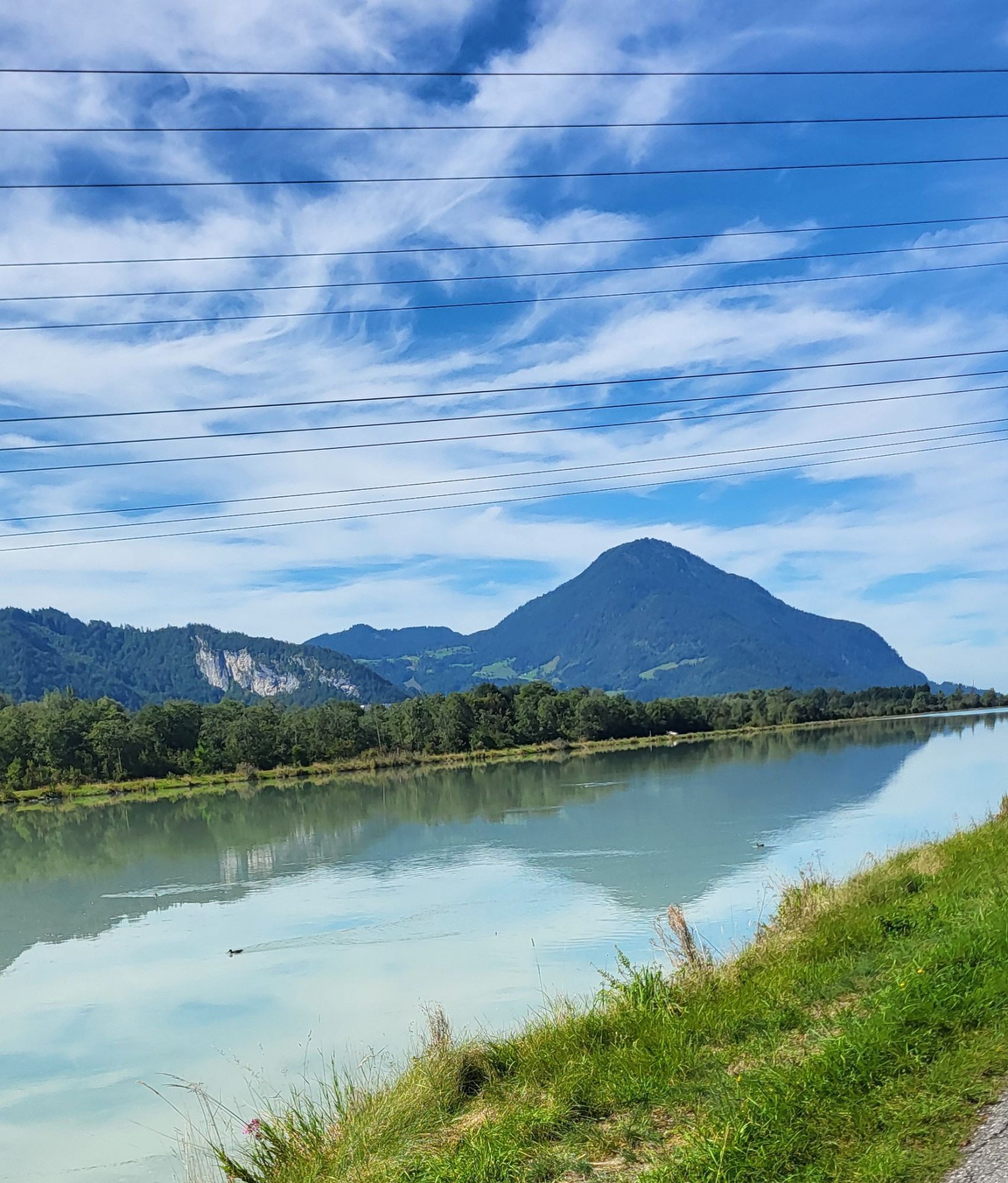
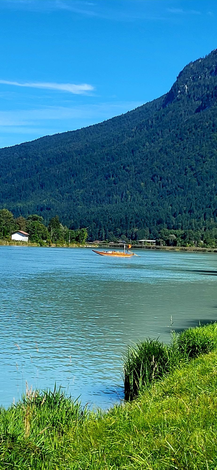
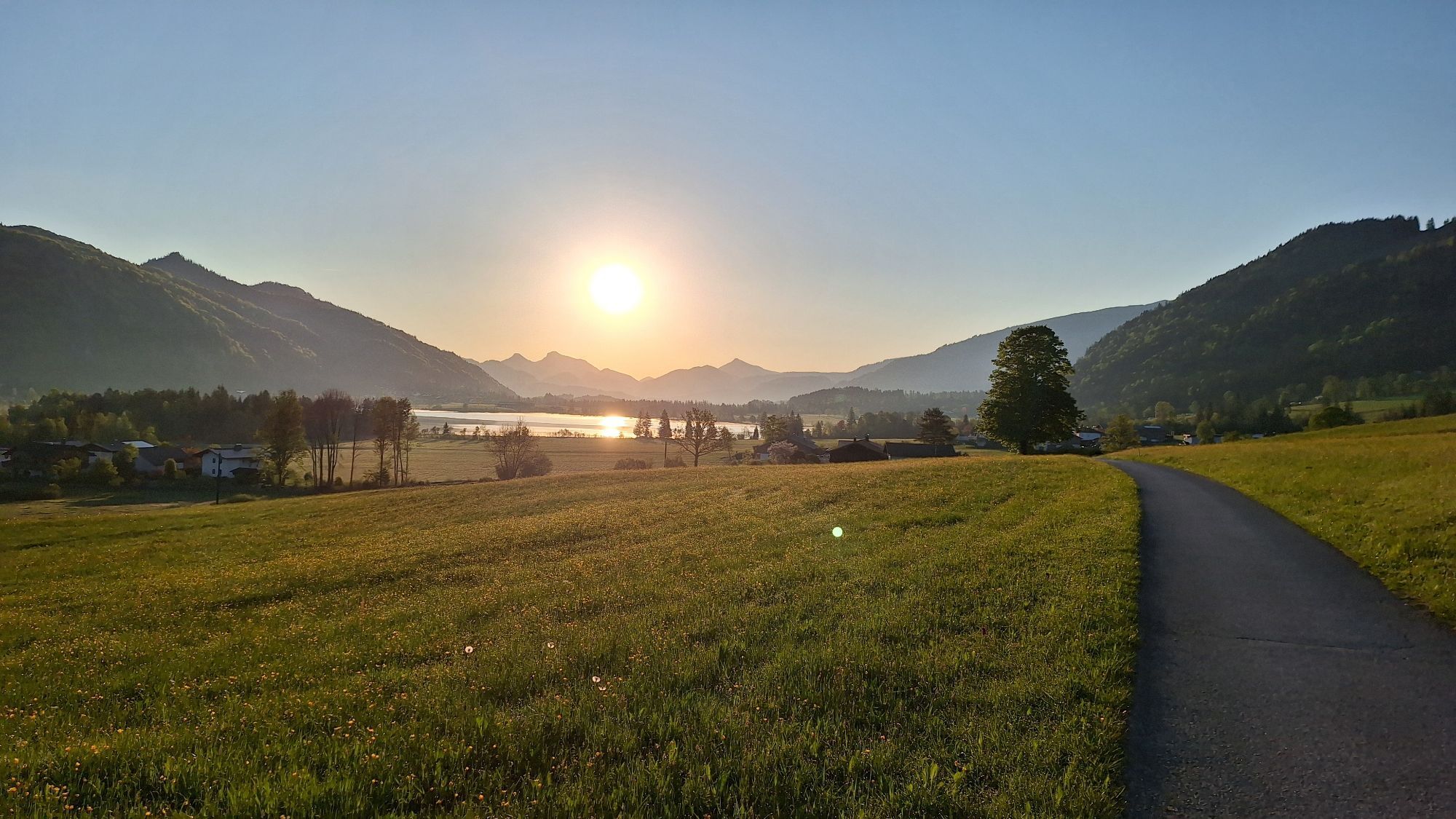
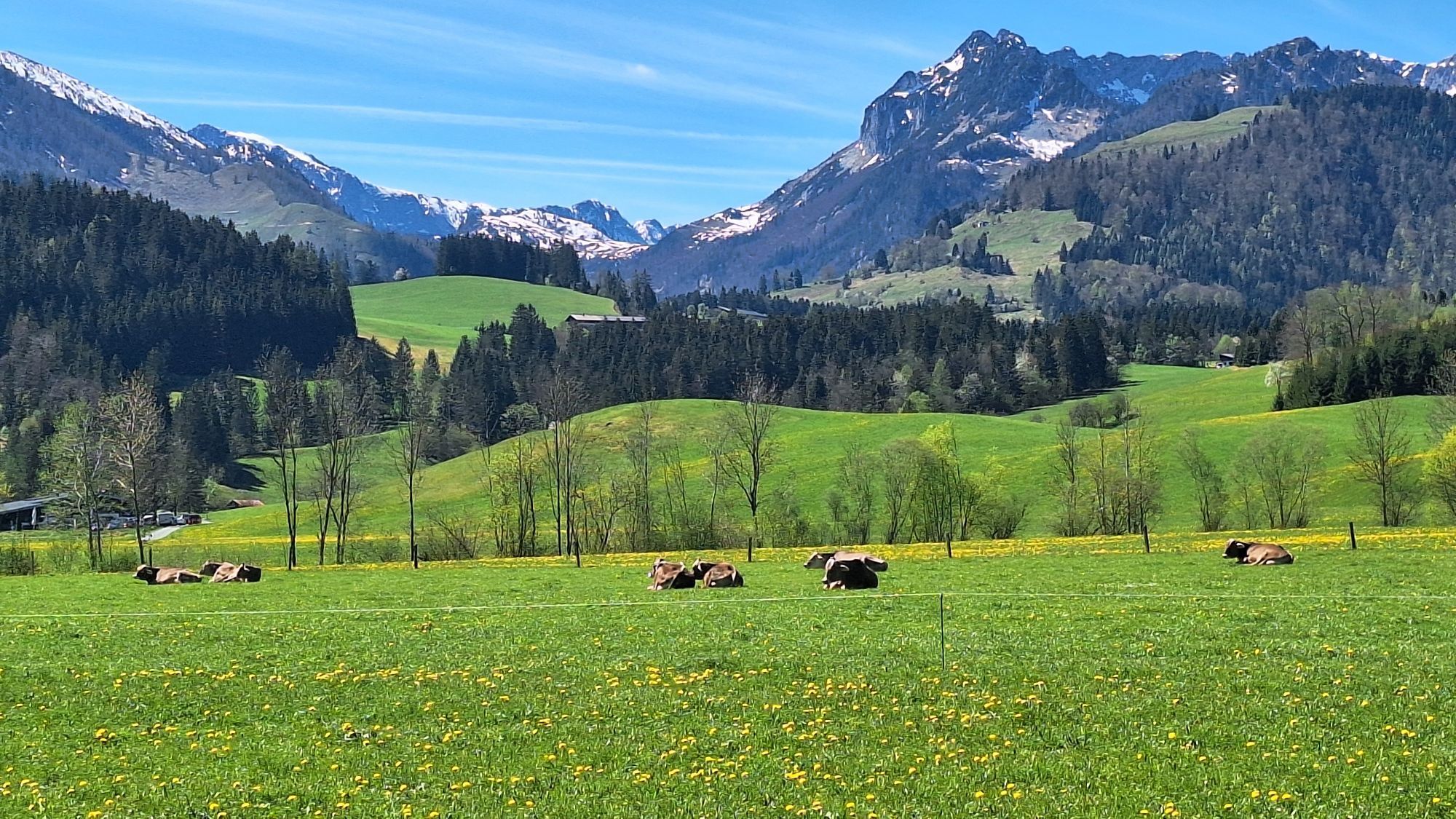
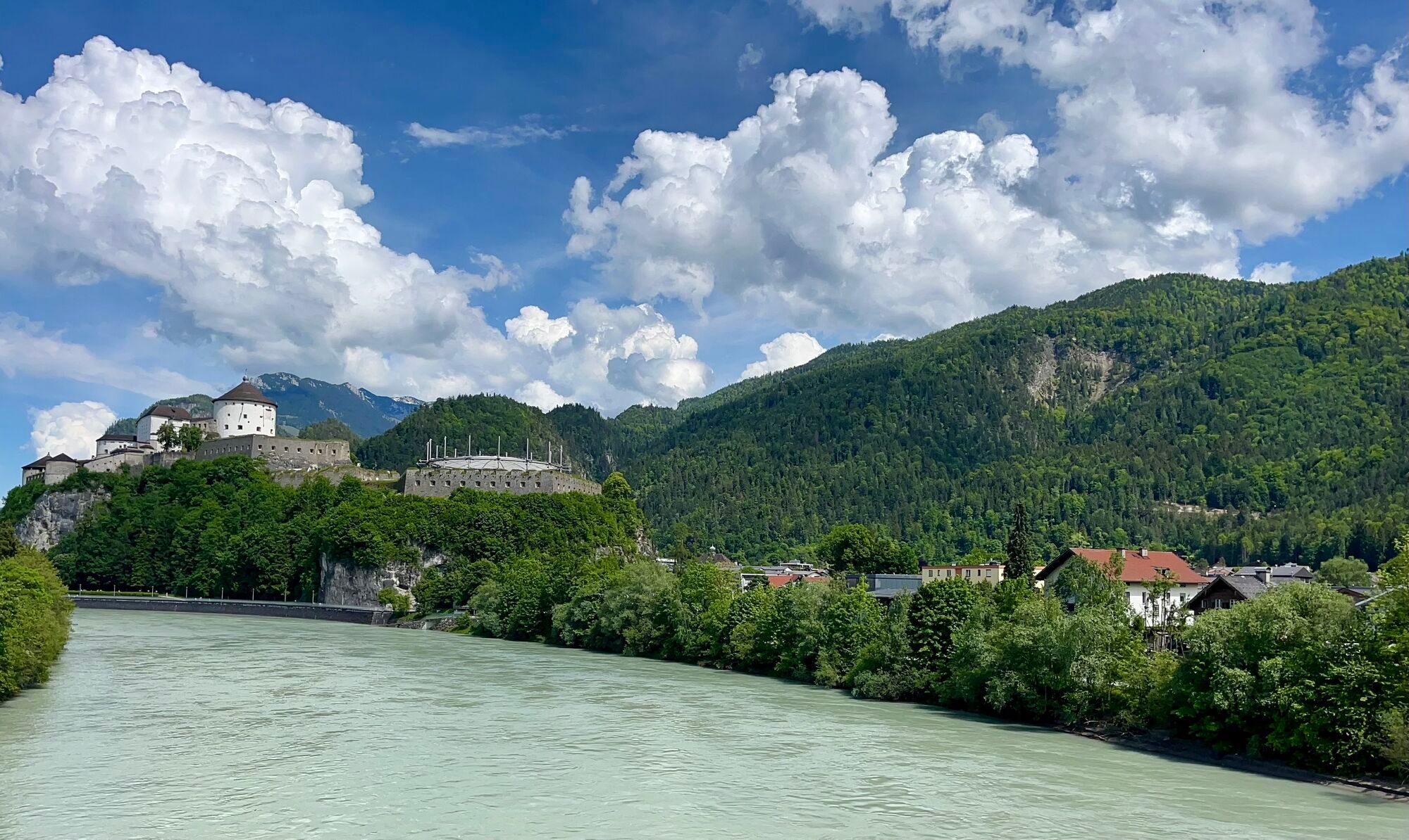
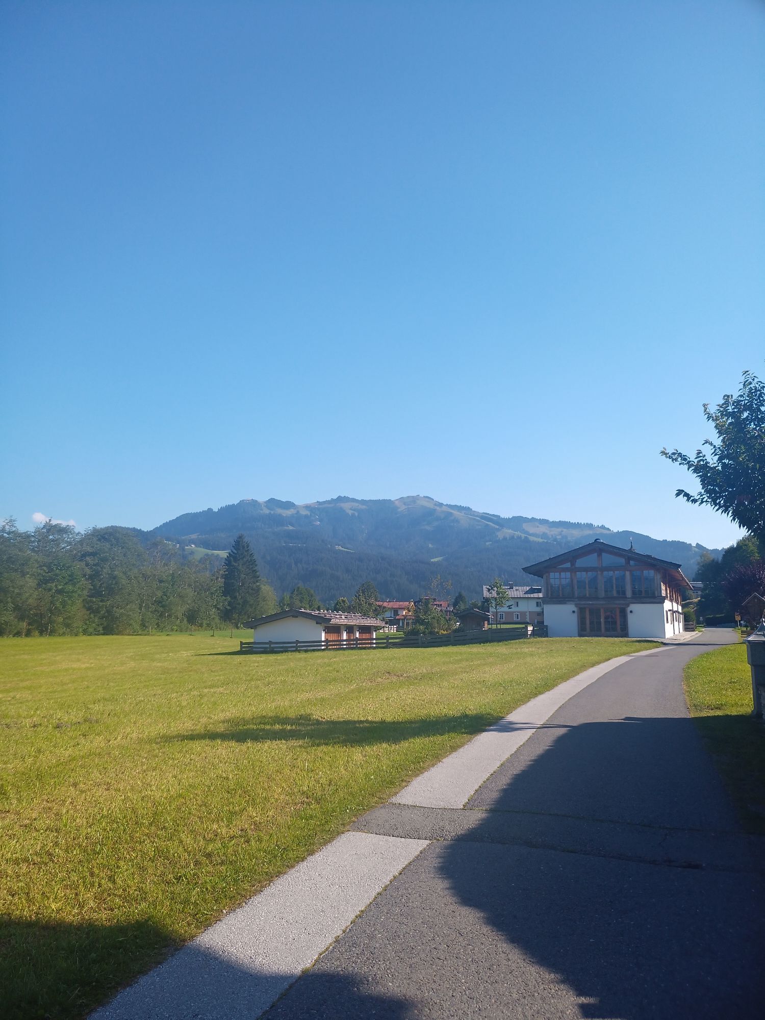
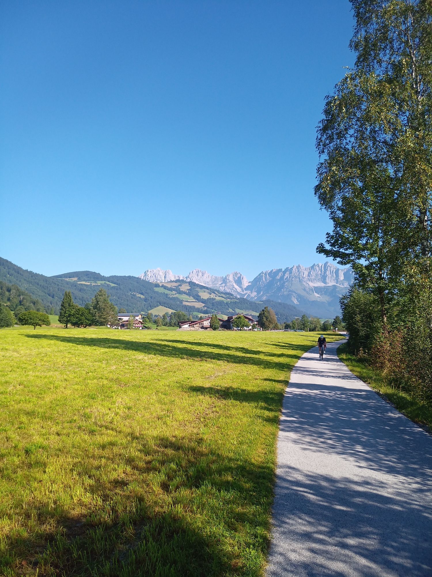
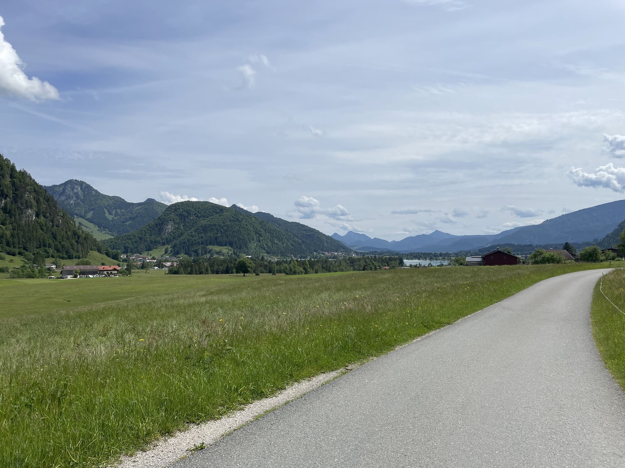
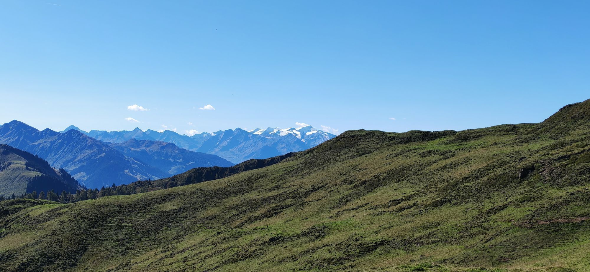
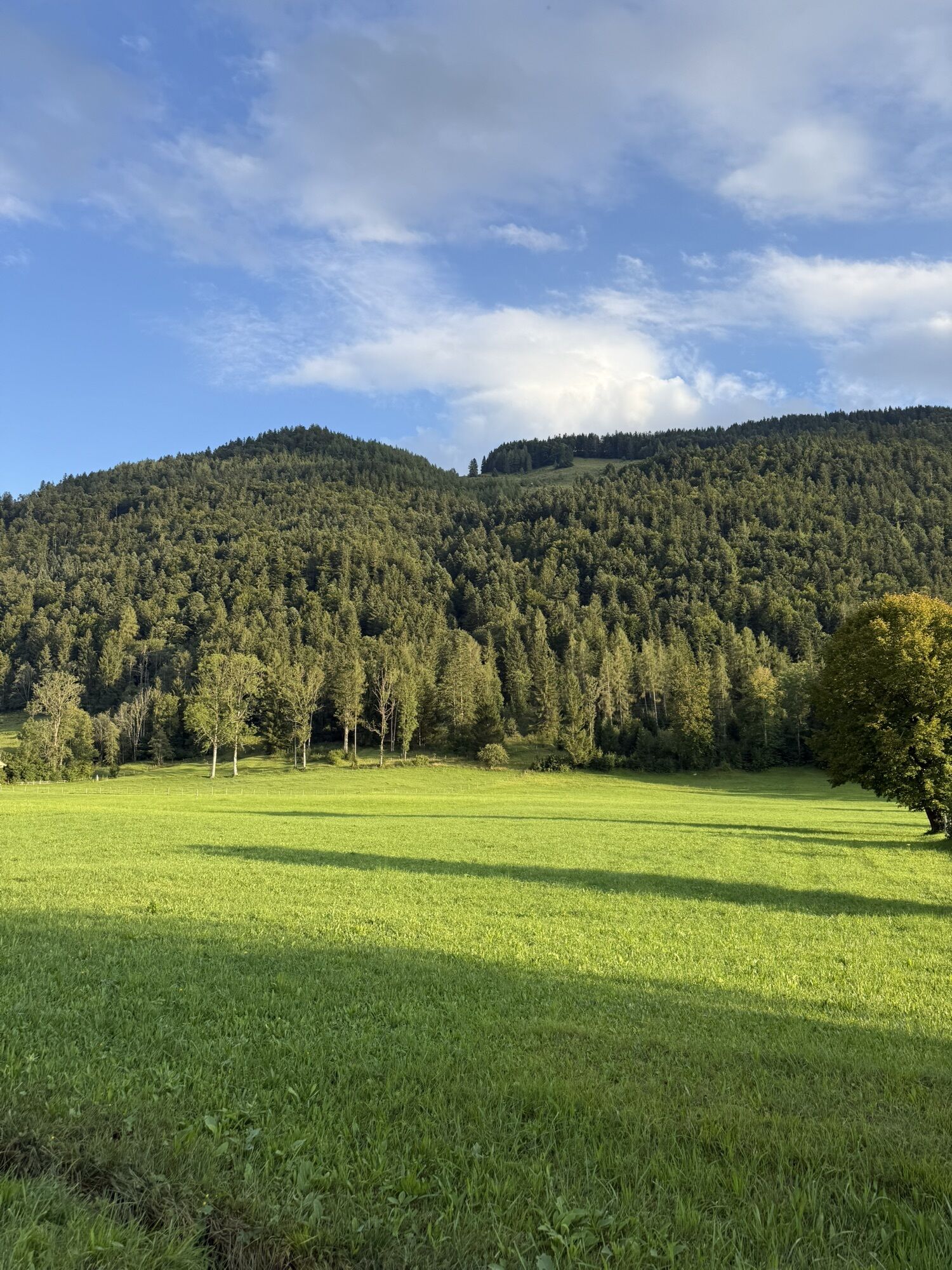
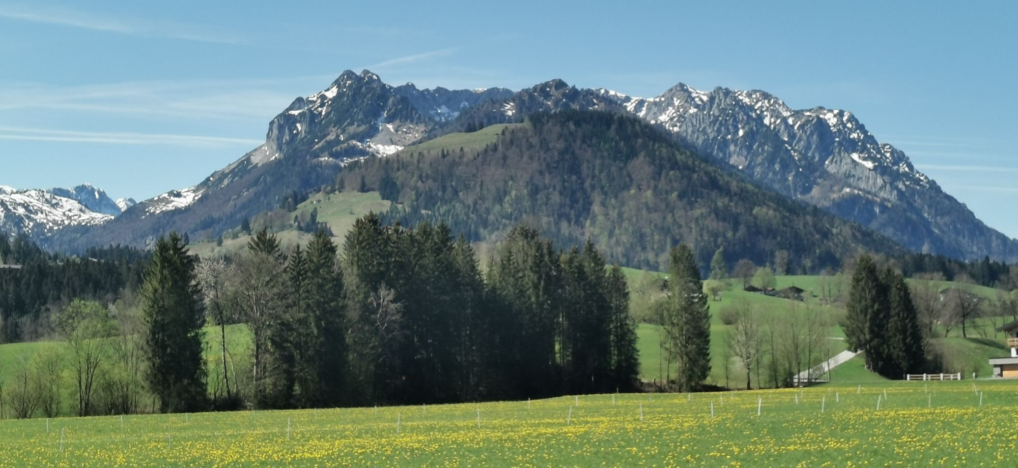
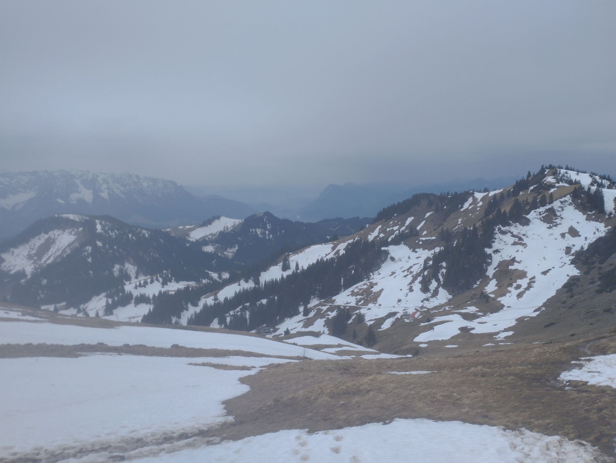

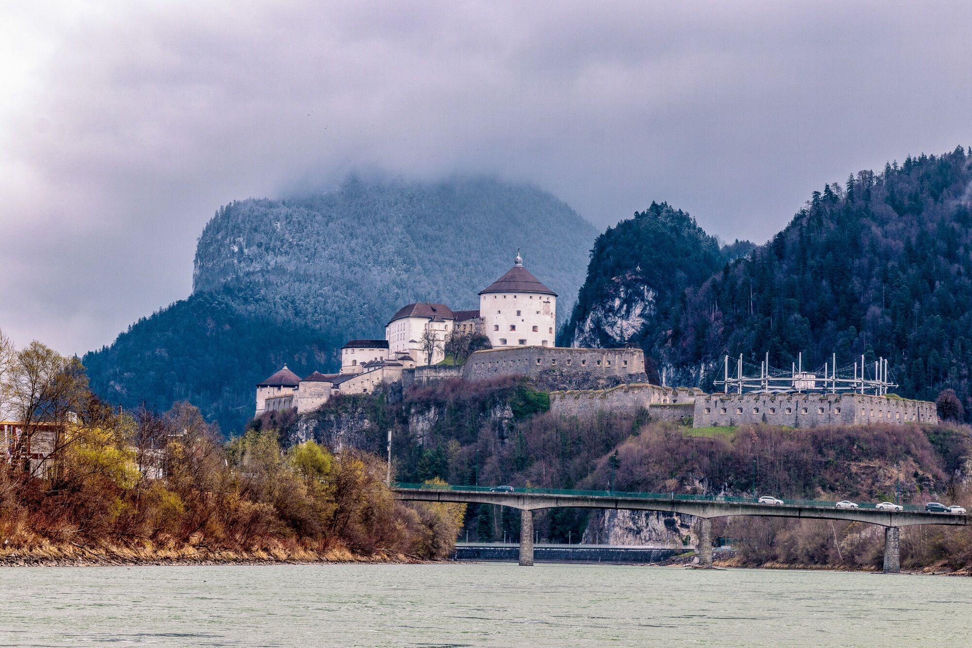
On the journey to Walchsee the peaks of the Kaiser Mountains come into view. The gentle route in the valley proceeds through Kössen and close to the river Großache to St. Johann in Tirol. You cycle on...
On the journey to Walchsee the peaks of the Kaiser Mountains come into view. The gentle route in the valley proceeds through Kössen and close to the river Großache to St. Johann in Tirol. You cycle on side roads to Oberndorf and via the Rerobichl forest ridge to Reith. Heading for Kirchberg, go through Brixental to the centre of Westendorf. Here, head through Unterwindau to Hopfgarten and on the side roads and cycle trails via Wörgl back to Kufsteinerland. The Kaiser Mountains are a popular relaxation area, the surrounding towns and the roads get very busy on bank holidays and at weekends, which is why those in the know ride on weekdays.

Cycling helmet, comfortable cycling clothing, change of clothes, wind protection, cycling gloves, possibly rucksack with water bottle and food, first aid equipment, possibly service/repair kit, cycling map, tour description and information material (GPX track), ID card, insurance card, cash
From the Inntal motorway A12, take the Kufstein Nord exit
Kufstein main railway station is only a few minutes' walk from the starting point.
Kufstein centre
Webcams der Tour
Unterberg
Talkaser
Bergstation Gondelbahn
Scheffau
Hocheck
Thiersee - Mitterland - Schneeberglifte
Hohe Salve
Thiersee - Mitterland - Schneeberglifte
Bergstation Gondelbahn Hochsöll
Jochstub'n-See
Talstation Hocheck
Idealhang
Kirchdorf in Tirol - Pension Sonnleit'n
Thiersee - Mitterland - Schneeberglifte
Thiersee - Mitterland - Schneeberglifte
Hahnenkamm Berg
St. Johann in Tirol
Dorfplatz - St. Johann in Tirol
Hartkaiser II
Ellmau - Maria Heimsuchungskapelle
Choralpe
Markbachjoch 1
Huber Bräu St. Johann in Tirol
Grander Schupf
Koasastadion
Going - Ort
Hocheck
Hocheck
Hocheck
Hocheck
Unterberg
Walchsee - Camping Seespitz
Jochbahn Bergstation
Ochsalm
Kufstein - Brentenjoch
Ochsalm
Ochsalm
Ochsalm
Kinderland
Thiersee - Mitterland - Schneeberglifte
Hol dir den Einblick Immer live vor Ort mit über 9.500 Webcams. In der Touren App von bergfex siehst du als Pro-User jetzt zu vielen Touren die passenden Webcams. So kannst du dir direkt die aktuellen Bedingungen ansehen.Beliebte Touren in der Nähe
- 4,7
Kirchdorf: Zur geheimnisvollen Teufelsgasse
mittelWanderung 7,90 km - 4,4
Erpfendorf: Griesbachklamm
mittelWanderung 10 km - 4,9
Schleierwasserfall Runde
mittelWanderung 5,63 km - 4,9
Route 209: Brechhornhaus-Choralpe
schwerMountainbike 24,4 km - 4,4
Kitzbüheler Horn über Horn-Gipfel-Höhenweg
mittelThemenweg 5,30 km - 4,8
Gruttenhütte über Klammlweg
mittelWanderung 5,61 km - 4,8
Ellmauer Tor (22.07.2020)
mittelWanderung 9,32 km - 5,0
Stripsenjoch Klettersteige/ Rundwanderung von Griesener Alm über Stripsenjochhaus und Feldberg
mittelKlettersteig 10,2 km - 4,8
Streif Wanderweg
mittelWanderung 5,73 km - 4,7
Musikantensteig zur Naunspitze
mittelWanderung 8,96 km
Wandern & Tracking


Verpasse keine Angebote und Inspirationen für deinen nächsten Urlaub
Deine E-Mail-Adresse wurde in den Verteiler eingetragen.





