


Kaiserlift Tourentipp 5: From Brentenjoch into the Kaiser Valley
Fotos unserer User
 © Sabine SteuxnerErstellt am 06.05.2026
 © Sabine SteuxnerErstellt am 06.05.2026
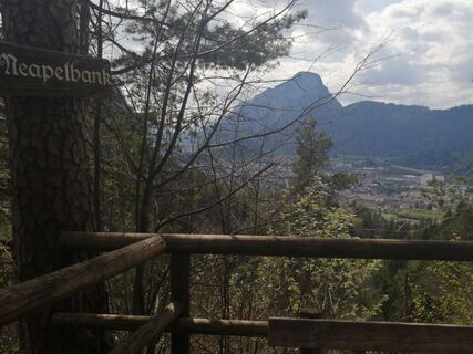
 © Brigitte RottmannErstellt am 18.04.2026
 © Josef Sepp NagillerErstellt am 09.04.2026
 © Josef Sepp NagillerErstellt am 09.04.2026
 © Josef Sepp NagillerErstellt am 09.04.2026
 © Josef Sepp NagillerErstellt am 09.04.2026
 © Josef Sepp NagillerErstellt am 09.04.2026
 © Denise MillerErstellt am 08.10.2025
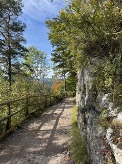 © Denise MillerErstellt am 08.10.2025
 © Denise MillerErstellt am 08.10.2025
 © Denise MillerErstellt am 08.10.2025
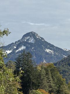 © Denise MillerErstellt am 08.10.2025
 © Denise MillerErstellt am 08.10.2025
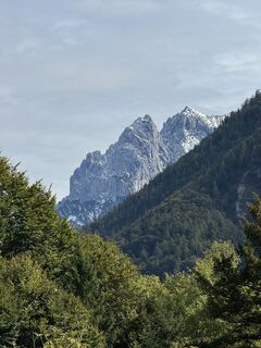 © Denise MillerErstellt am 08.10.2025
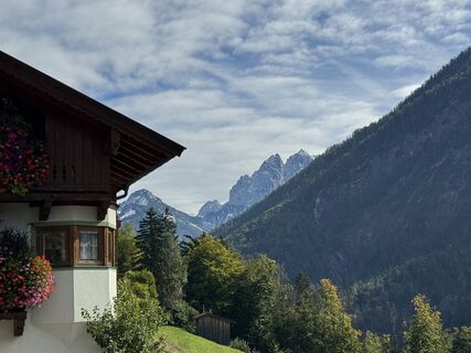 © Denise MillerErstellt am 08.10.2025
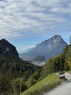 © Denise MillerErstellt am 08.10.2025
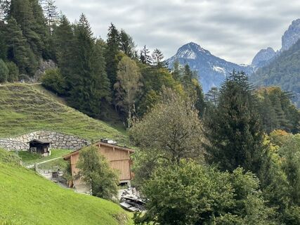 © Denise MillerErstellt am 08.10.2025
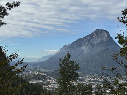 © Denise MillerErstellt am 08.10.2025
 © Luisa ThomsenErstellt am 19.08.2025
 © Markus KonzErstellt am 09.08.2025
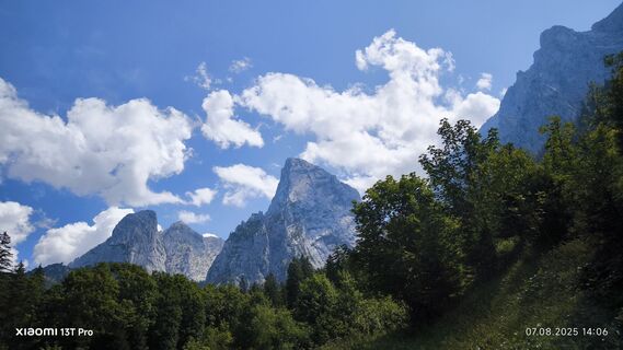
 © sebastian etzkornErstellt am 07.08.2025
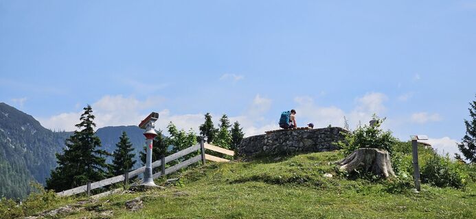
 © garrinchaErstellt am 17.06.2025
 © garrinchaErstellt am 14.06.2025
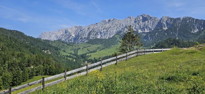 © garrinchaErstellt am 13.06.2025
 © Thomas HeßErstellt am 31.05.2025
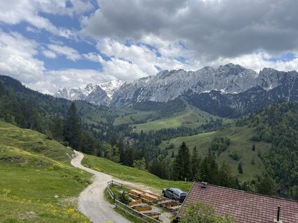 © Irina GulinErstellt am 24.05.2025
 © Thomas MeyErstellt am 17.04.2025
 © Thomas MeyErstellt am 17.04.2025
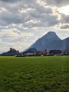
 © Porpáczy SzabinaErstellt am 05.04.2025
 © se_muckErstellt am 01.12.2024
 © se_muckErstellt am 01.12.2024
 © se_muckErstellt am 01.12.2024
 © se_muckErstellt am 01.12.2024
 © se_muckErstellt am 01.12.2024
 © se_muckErstellt am 01.12.2024
 © se_muckErstellt am 01.12.2024
 © sebastian etzkornErstellt am 09.11.2024
 © sebastian etzkornErstellt am 09.11.2024
 © sebastian etzkornErstellt am 09.11.2024
 © sebastian etzkornErstellt am 09.11.2024
 © sebastian etzkornErstellt am 09.11.2024
 © sebastian etzkornErstellt am 09.11.2024
 © Marina IErstellt am 21.07.2024
 © Sven KrieblinErstellt am 05.04.2024
 © Chnorli-FurzErstellt am 19.07.2022
 © Tine HarthErstellt am 26.05.2024
 © Andreas DeckertErstellt am 17.06.2023


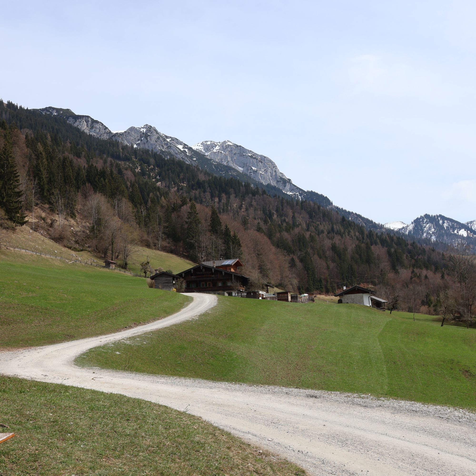

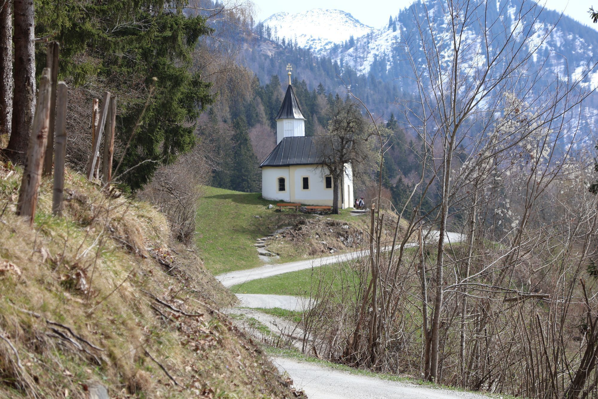

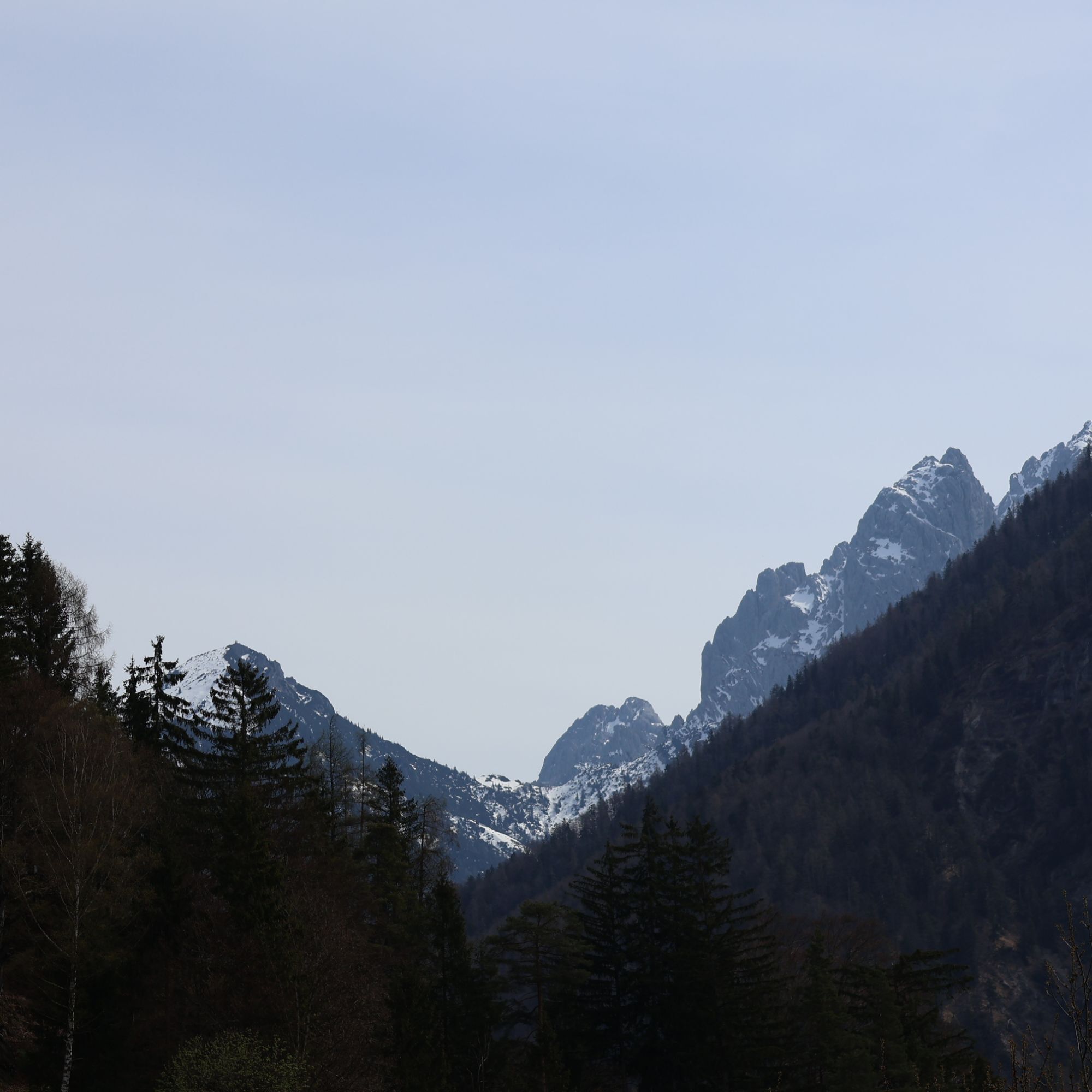
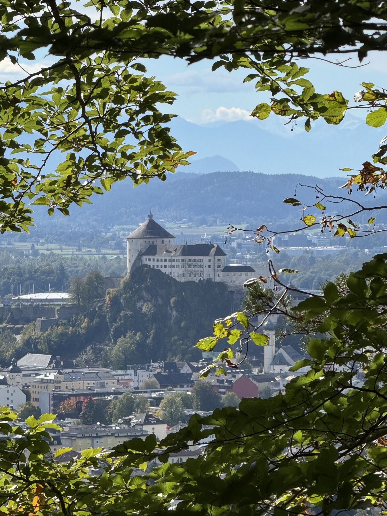
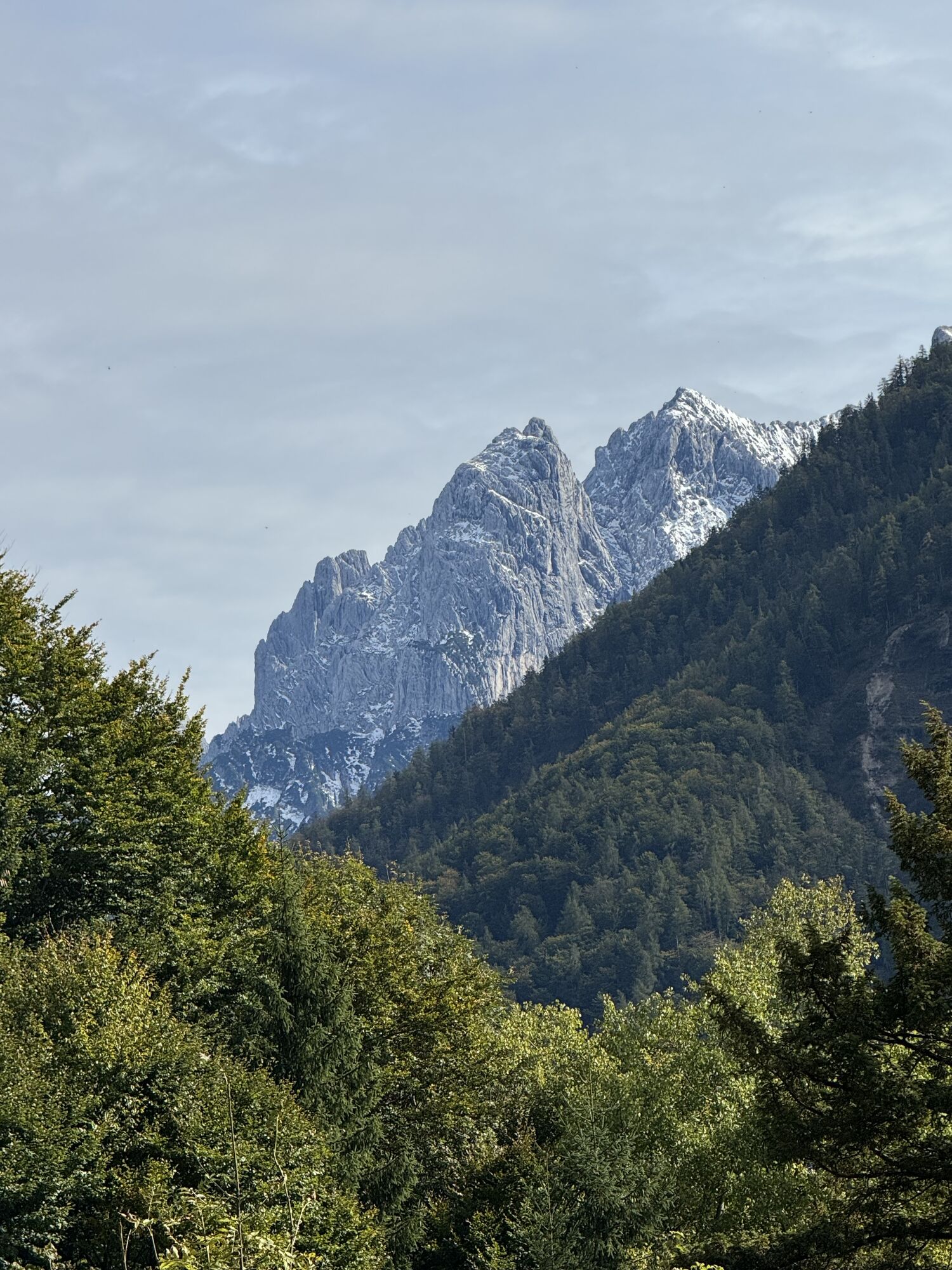

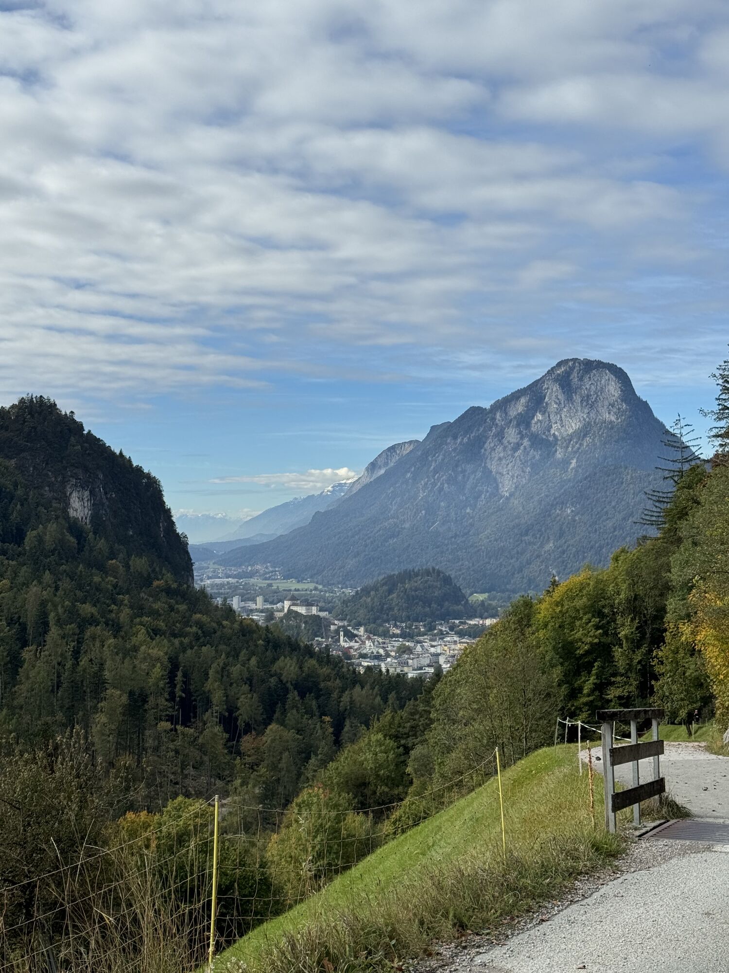


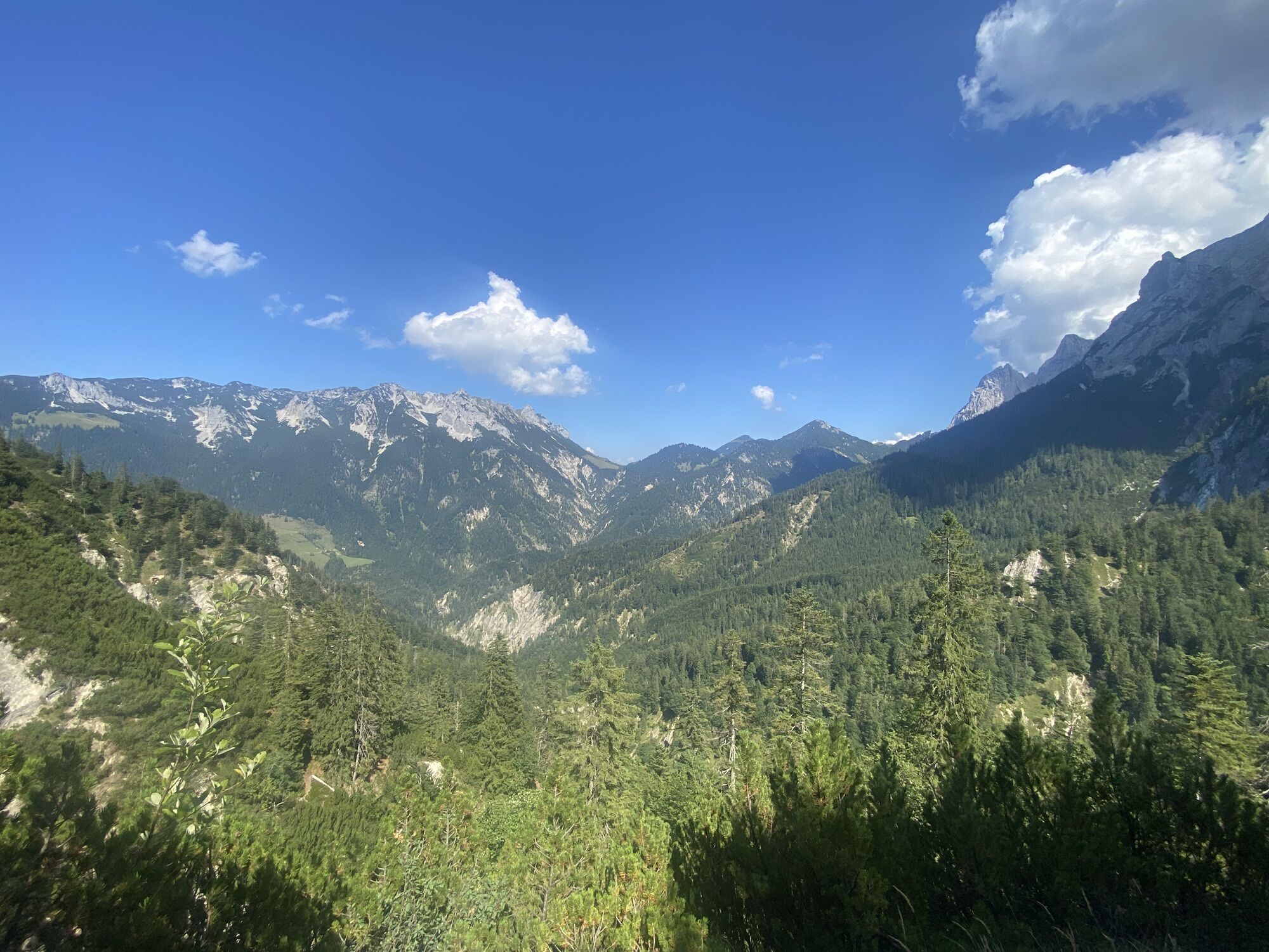
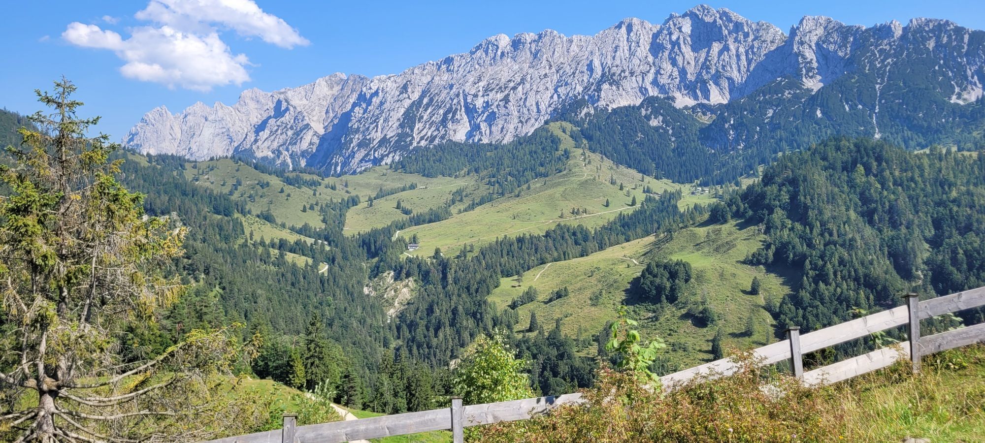


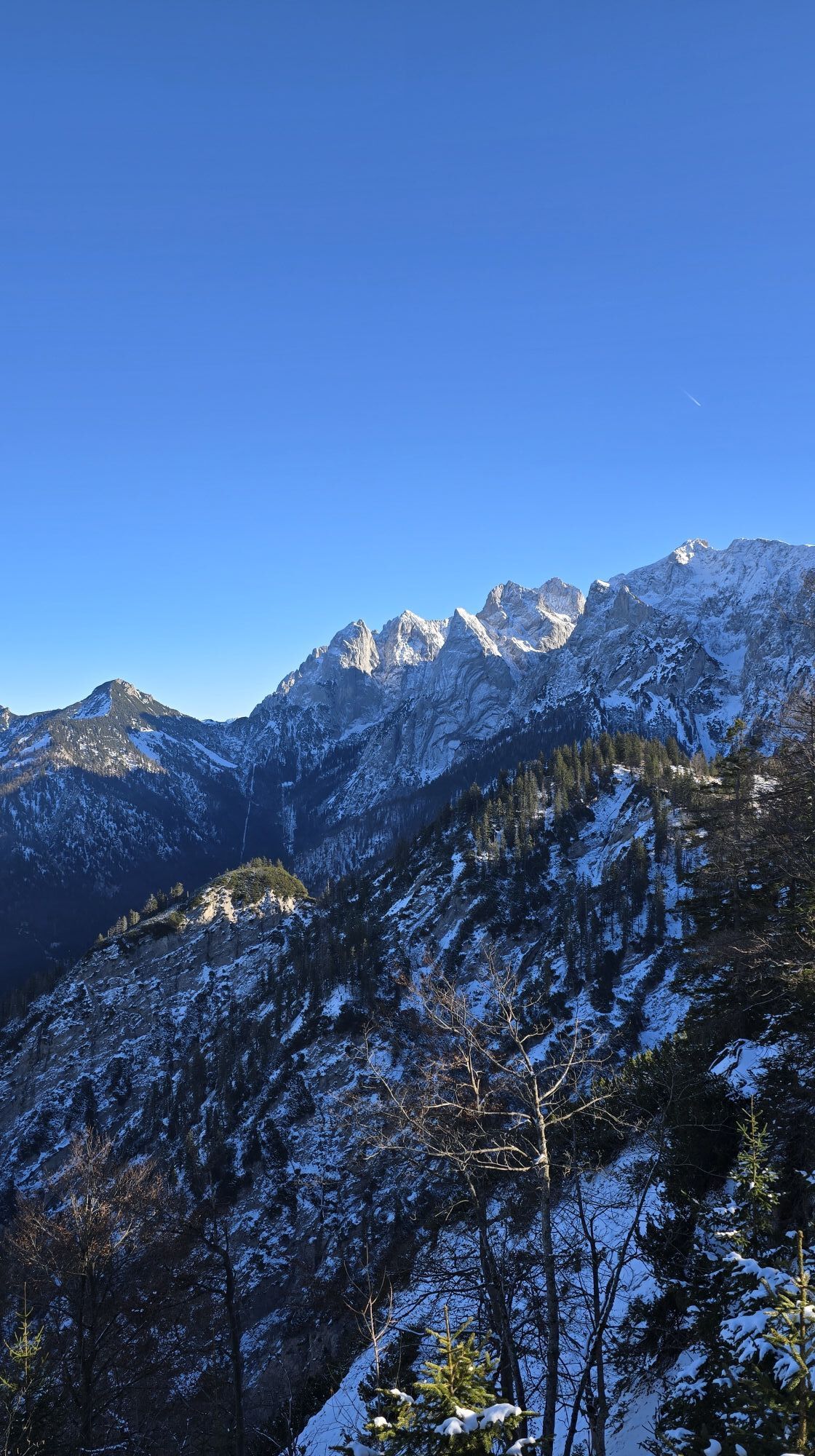
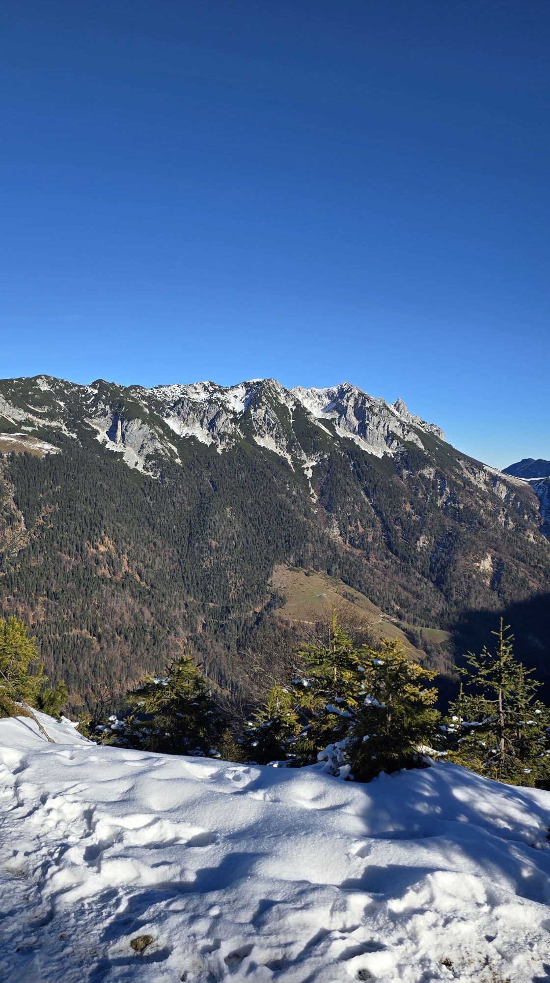
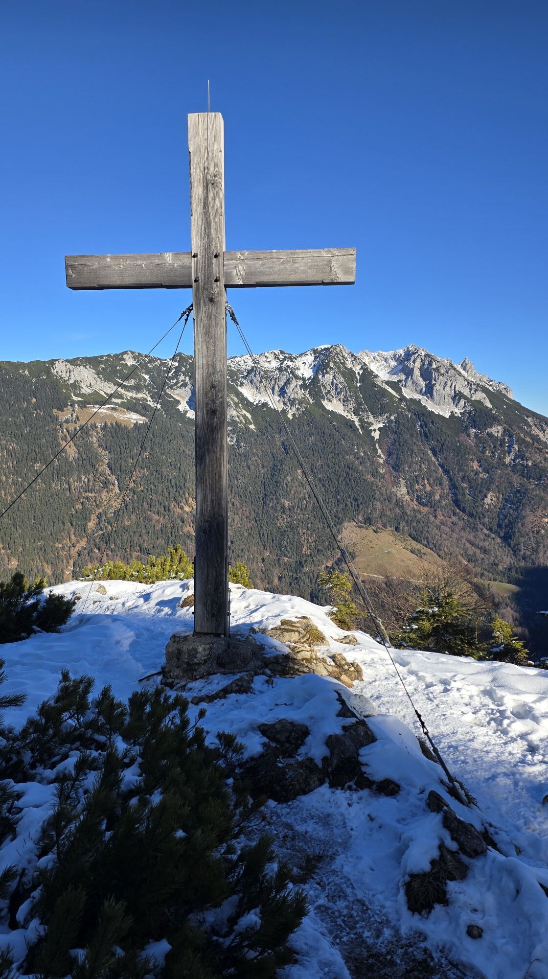

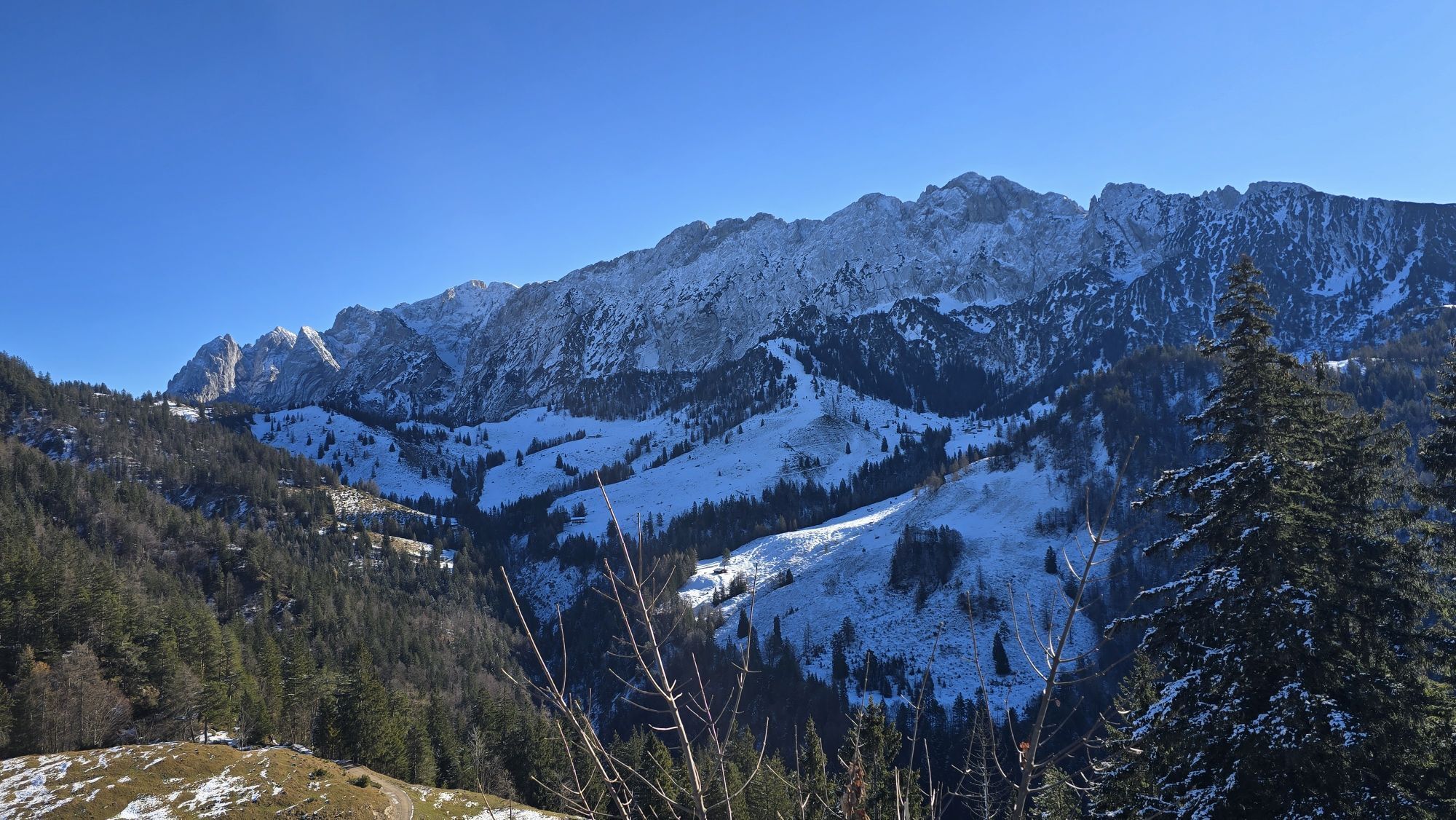

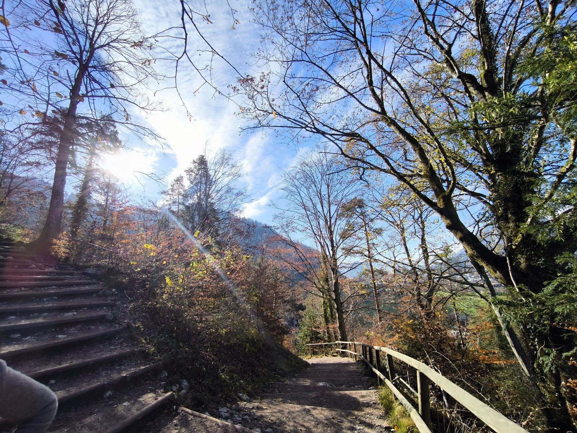
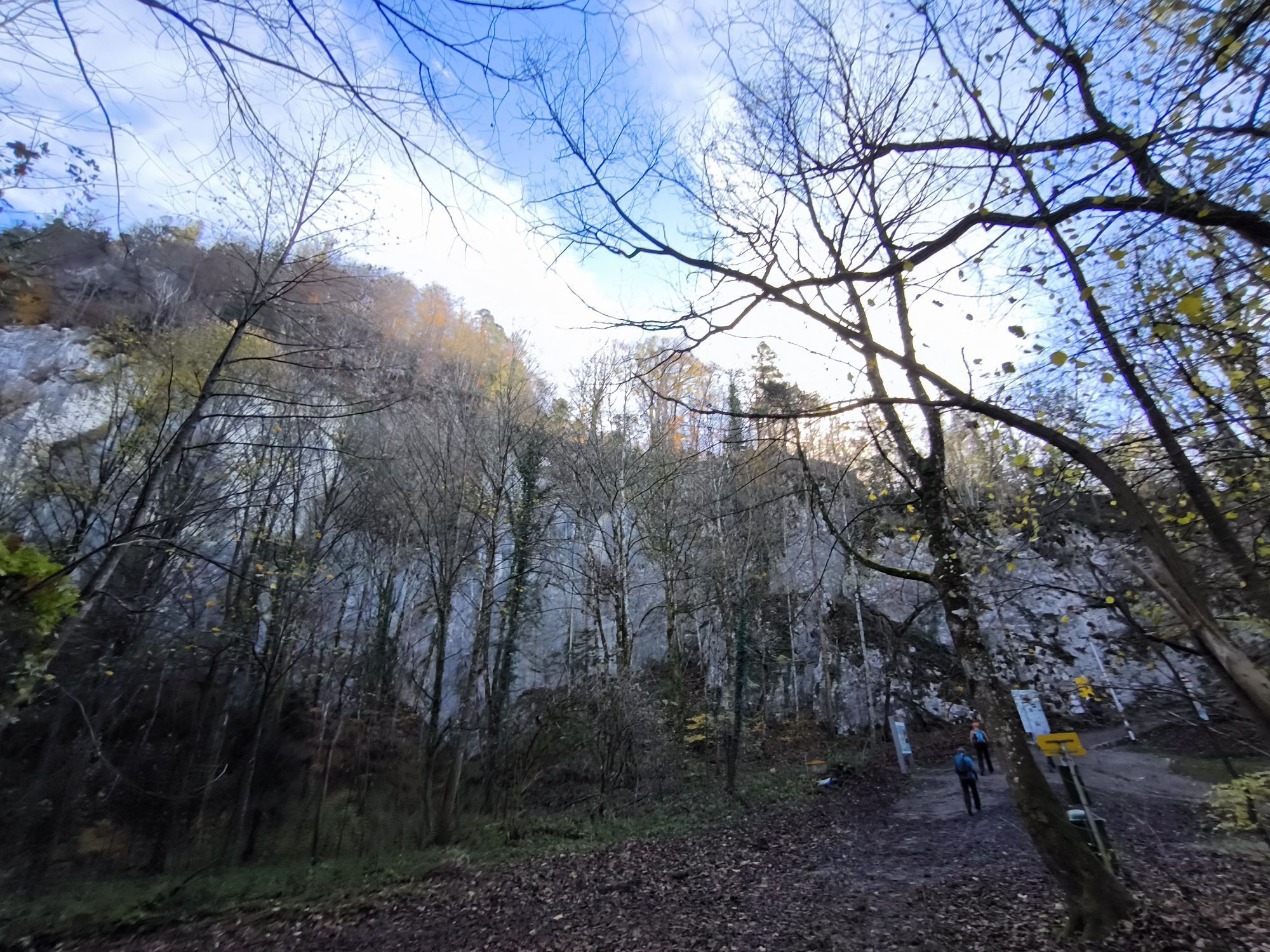
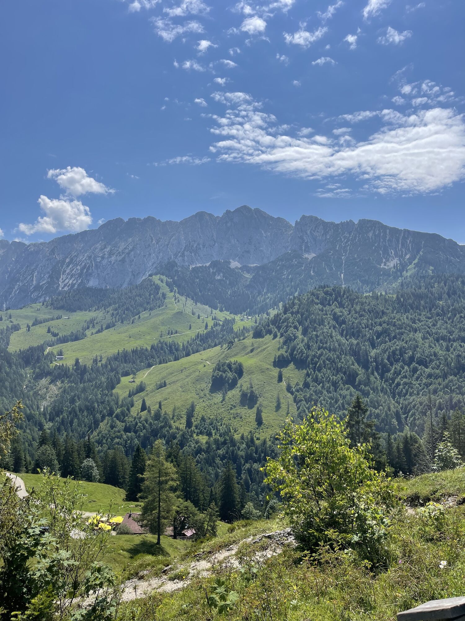
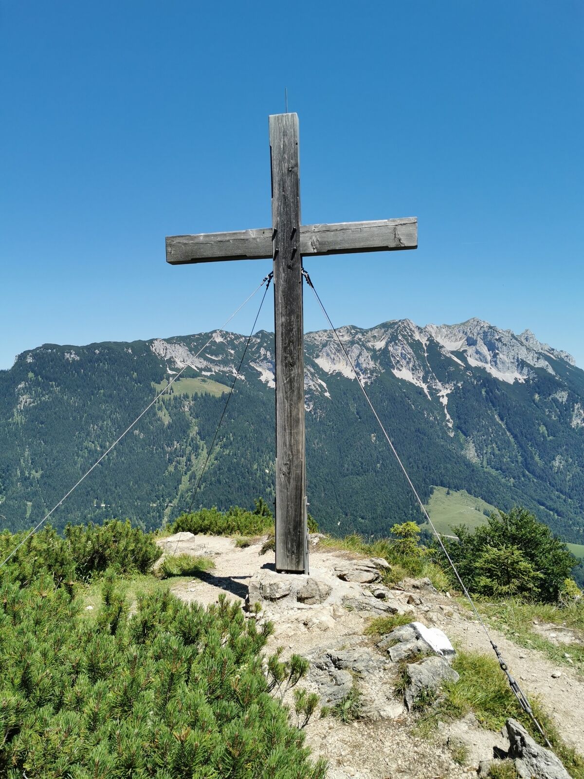
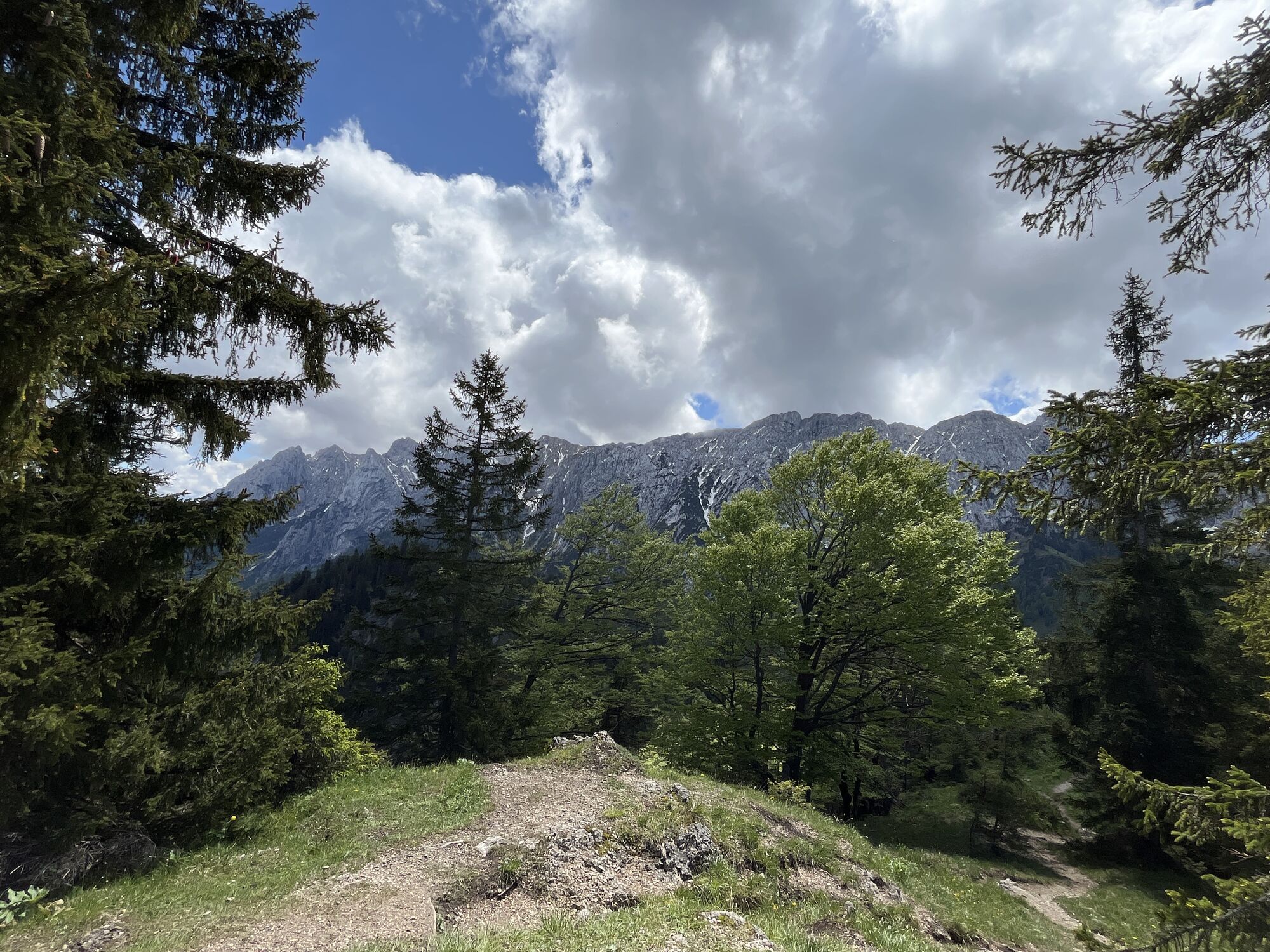
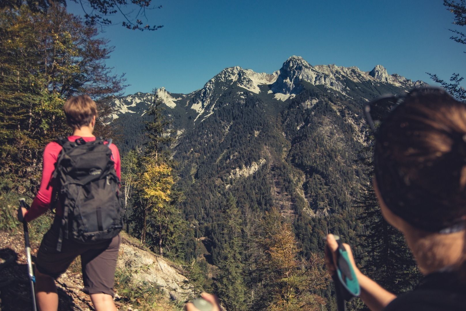
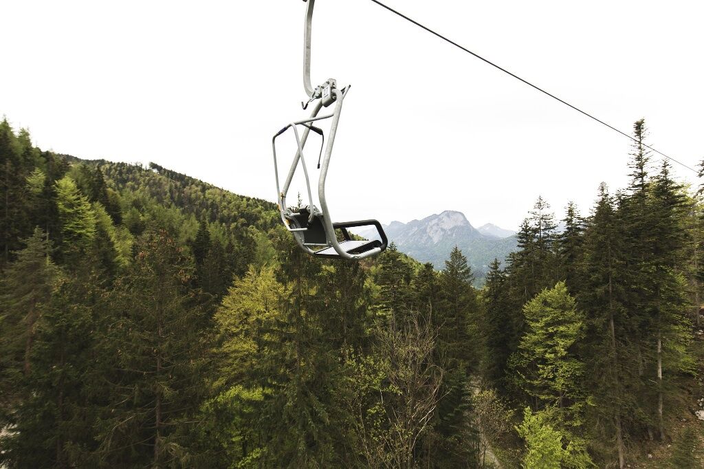
From the summit station we follow the path up the hill until we reach the Gamskogel. From the viewpoint you can enjoy breathtaking views of the Kaiser valley. Further in the direction of Steinbergalm you...
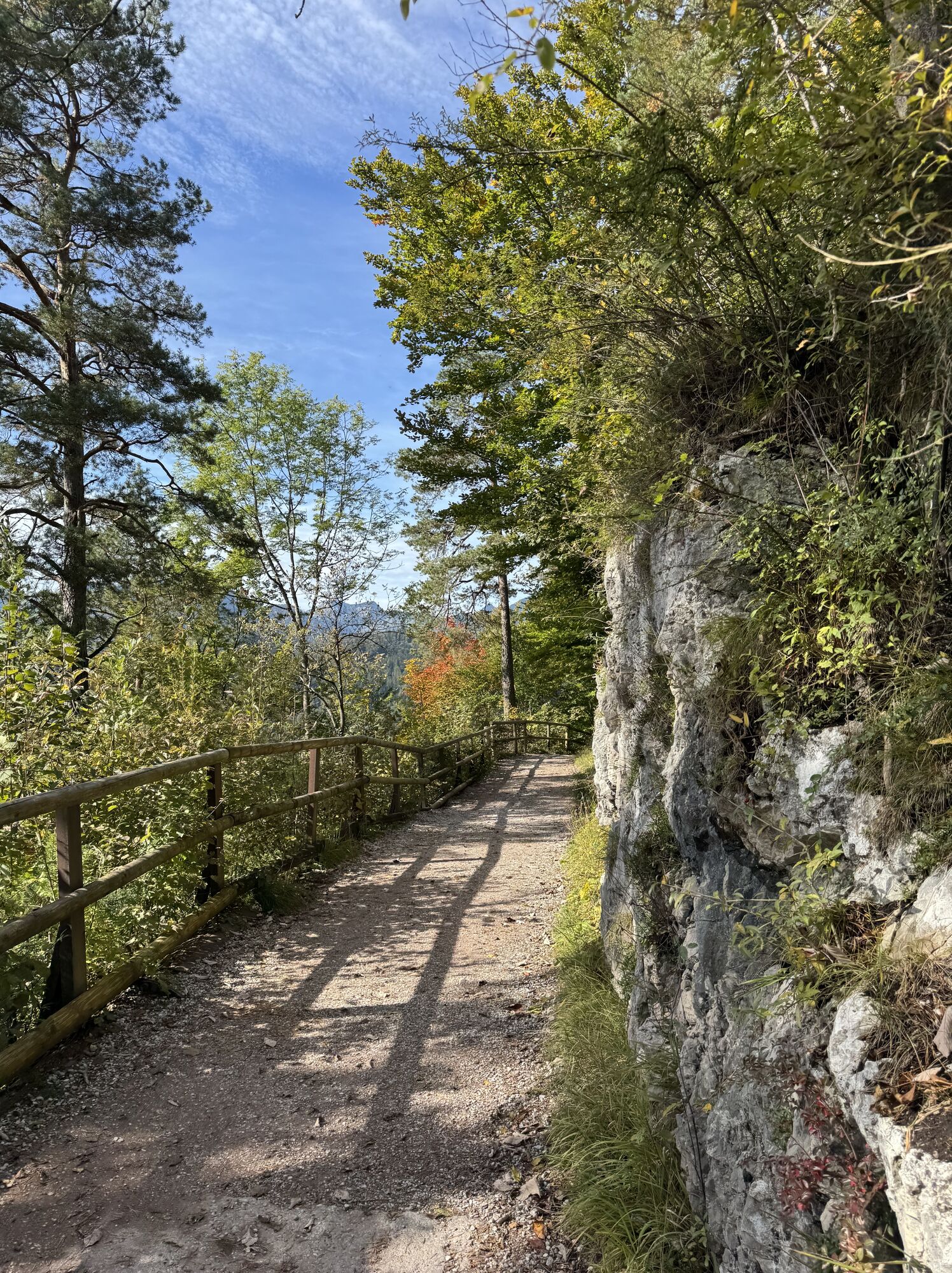
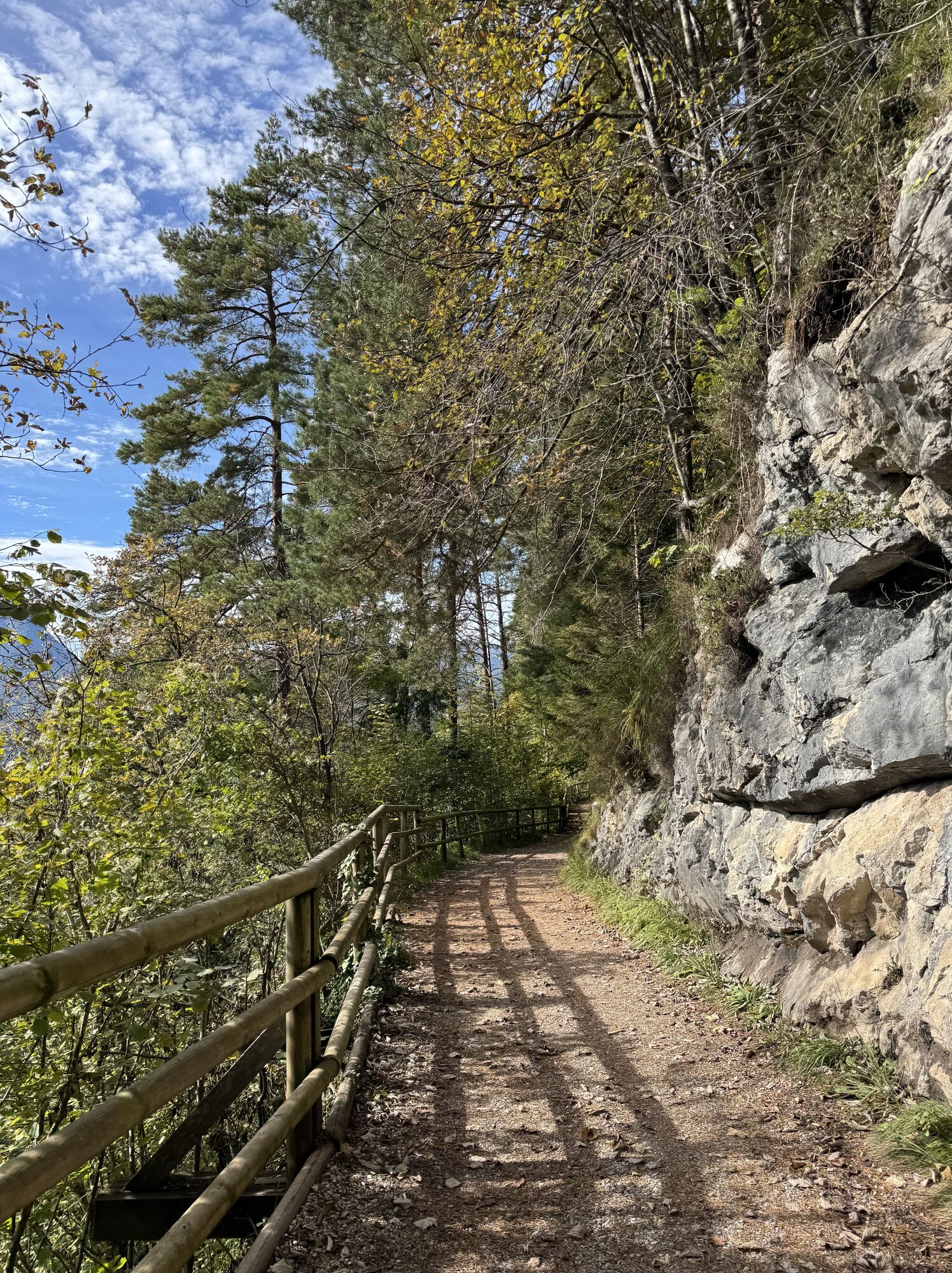
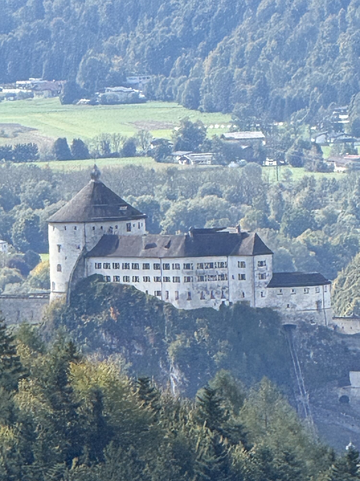
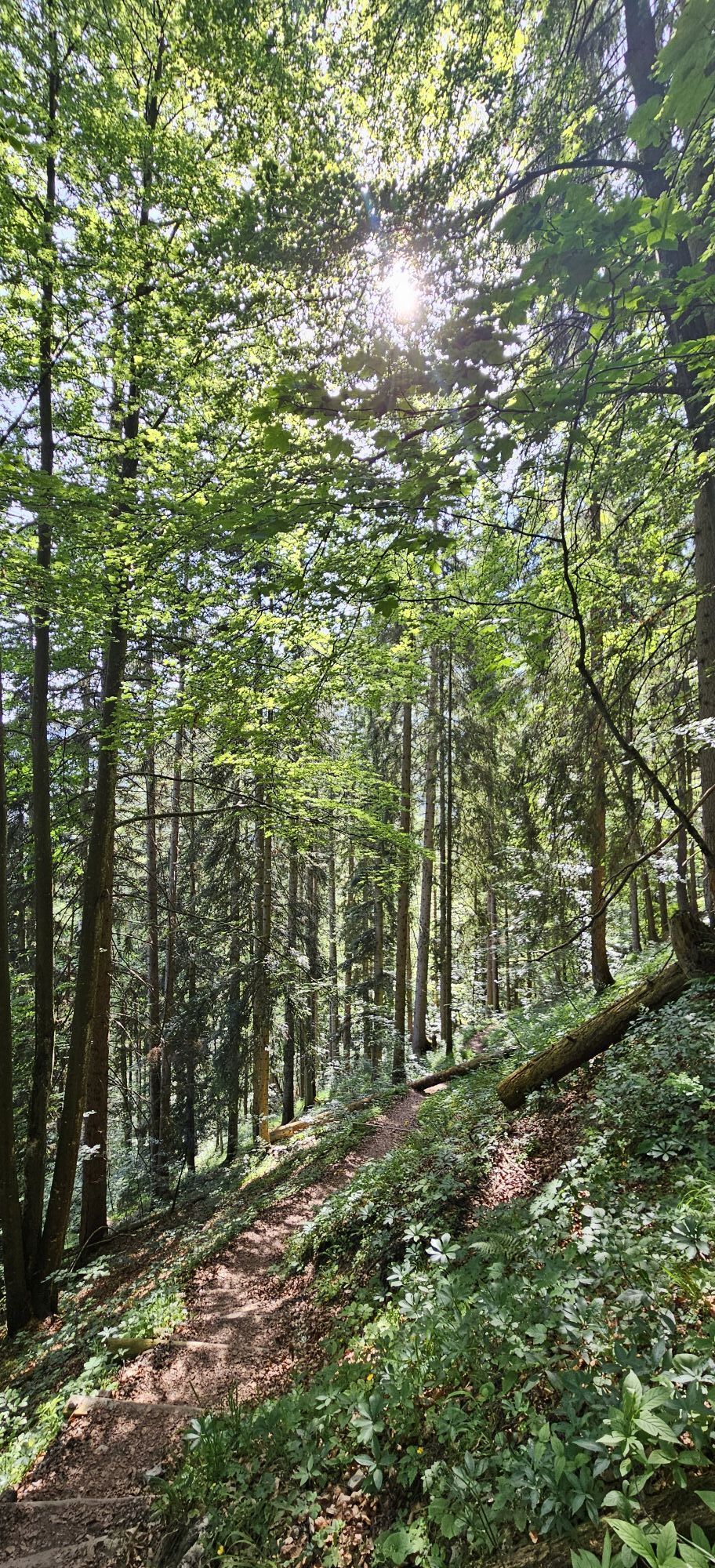
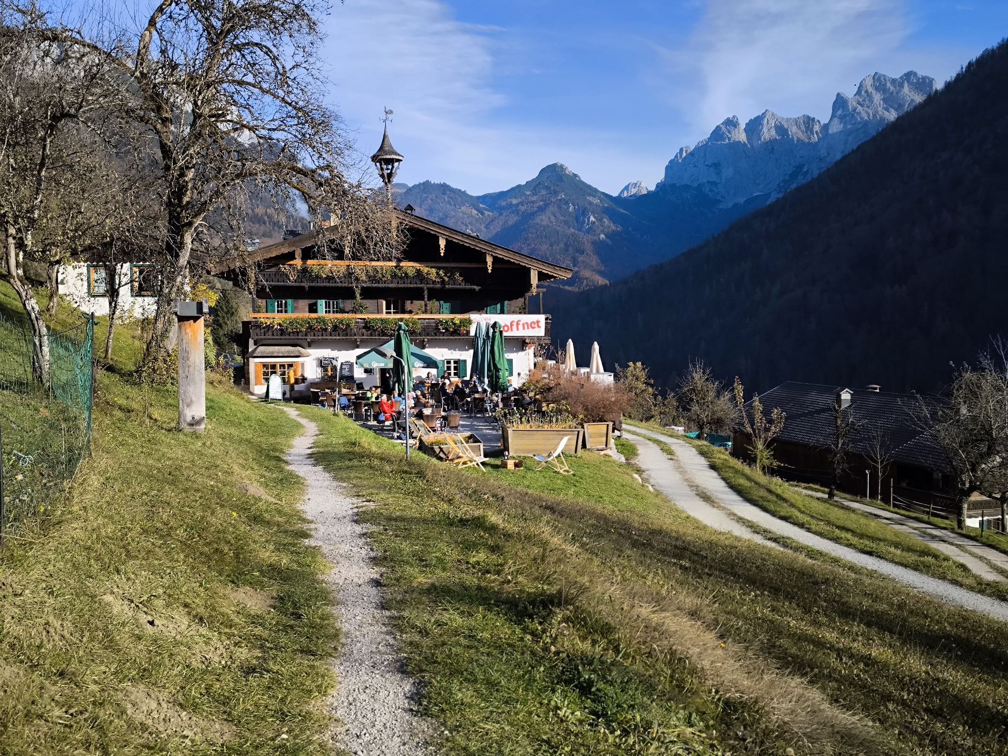
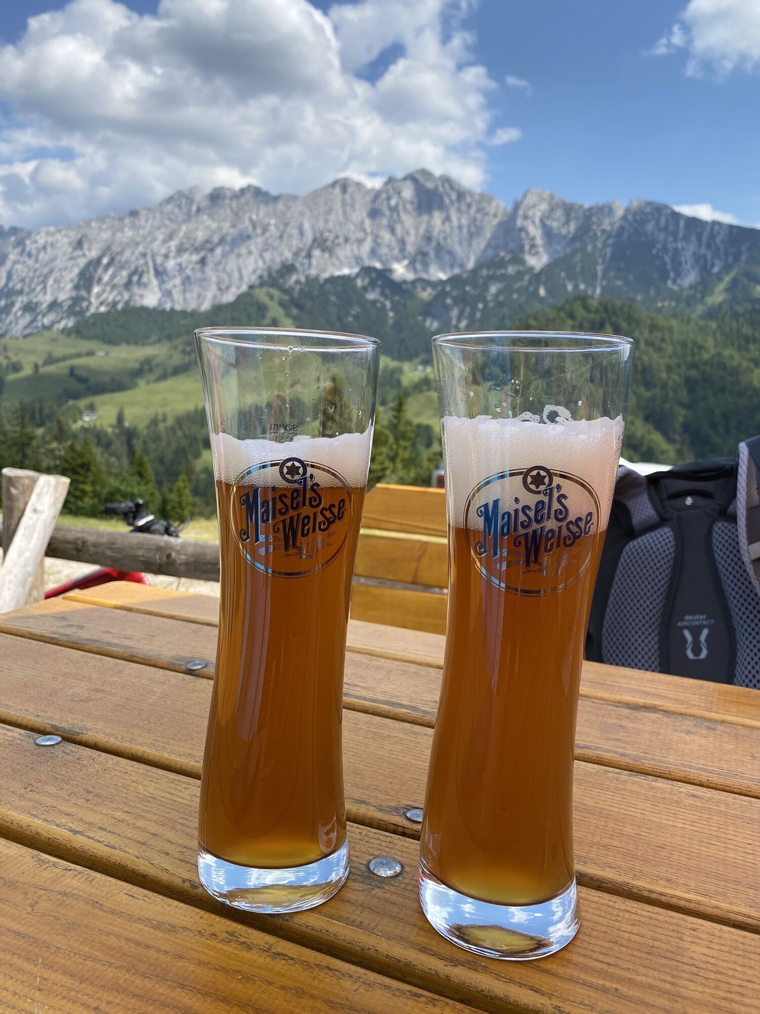
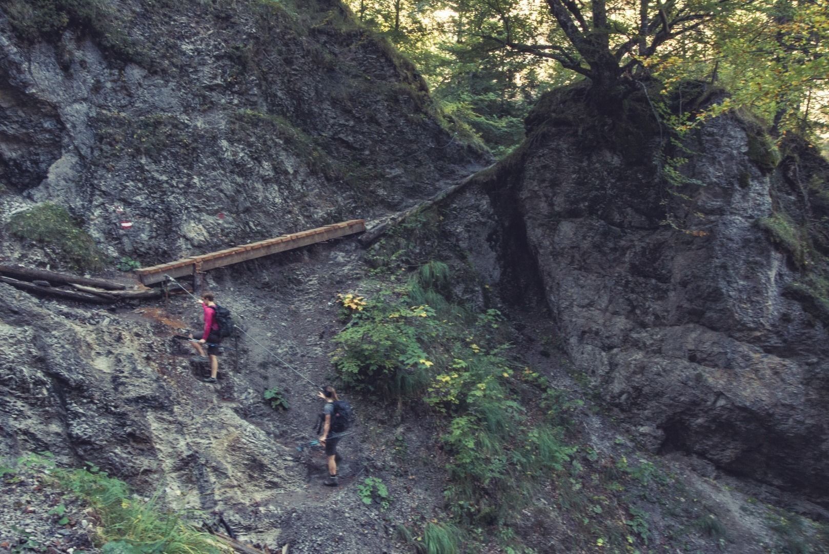
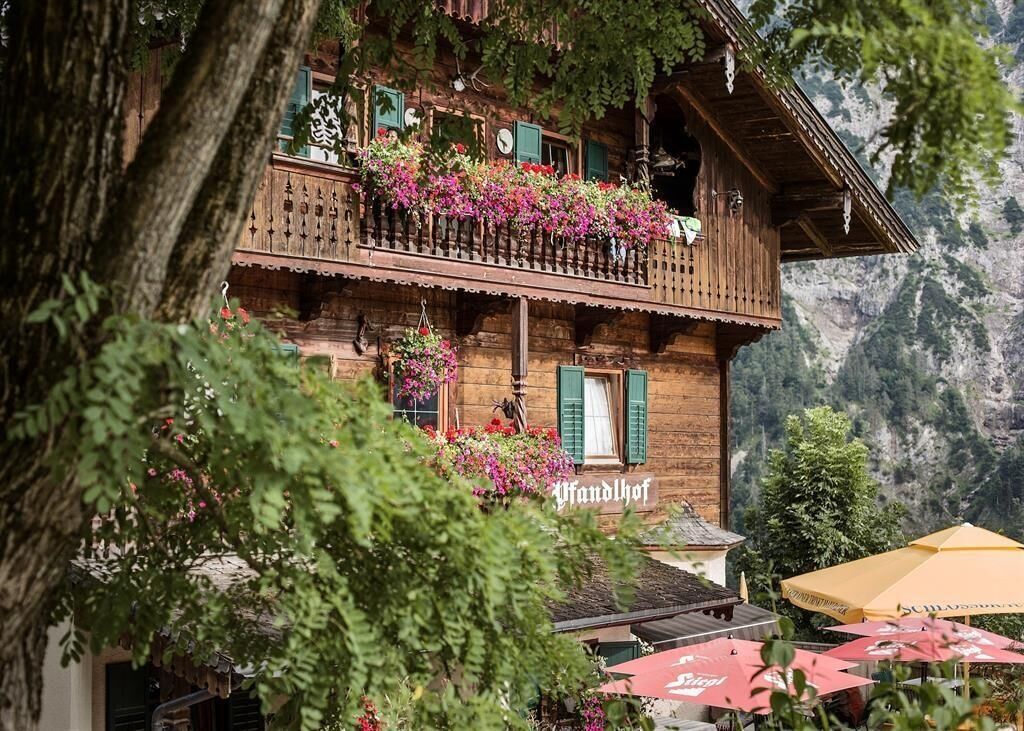
From the summit station we follow the path up the hill until we reach the Gamskogel. From the viewpoint you can enjoy breathtaking views of the Kaiser valley. Further in the direction of Steinbergalm you turn left onto the Bettlersteig. This steep path leads you via steps into the Kaiser valley - Caution: wooden steps can be slippery when wet. In the valley, the Anton-Karg-Haus invites you to stop and have something to eat. Strengthened you follow the broad path in the direction of the Kaiseraufstieg. Further delicacies are offered at Hans-Berger-Haus, Veitenhof and Pfandlhof.
Snacks (e.g. fruit, muesli bars, wholemeal breads) and drinks (allow for sufficient liquid)
First aid equipment
Mobile phone with full battery
Hiking map and guide literature
Sun protection (sun cream and glasses, cap)
Bivouac bag
Arrival is possible by car to the paid parking lot of the Kaiserlift.
With the KufsteinerlandCard within the region bus free of charge.
Valley station Kaiserlift, subject to a charge.
Beliebte Touren in der Nähe
- 4,7
Kirchdorf: Zur geheimnisvollen Teufelsgasse
mittelWanderung 7,90 km - 5,0
Priener Hütte
mittelWanderung 7,99 km - 4,6
Geigelstein
mittelWanderung 14,5 km - 4,5
Über Hintersteinersee und Walleralm aufs Hochegg
leichtWanderung 12,2 km - 4,5
Wanderung: Spitzstein und Altkaseralm von Sachrang
mittelWanderung 4,03 km - 4,5
Wanderung um den Hintersteinersee
leichtWanderung 5,29 km - 4,7
Hintersteinersee
mittelWanderung 9,87 km - 4,7
Musikantensteig zur Naunspitze
mittelWanderung 8,96 km - 4,2
Bergdoktor Wohnhaus "Gruberhof" (Köpfing Hof) Rundeweg-Söll
leichtWanderung 8,70 km - 5,0
Kirchdorf: Stripsenjoch Klettersteige
schwerKlettersteig 3,76 km

Wandern & Tracking


Verpasse keine Angebote und Inspirationen für deinen nächsten Urlaub
Deine E-Mail-Adresse wurde in den Verteiler eingetragen.