






Hochalm hike
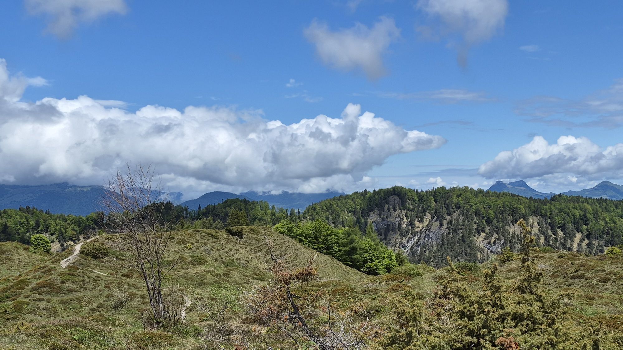
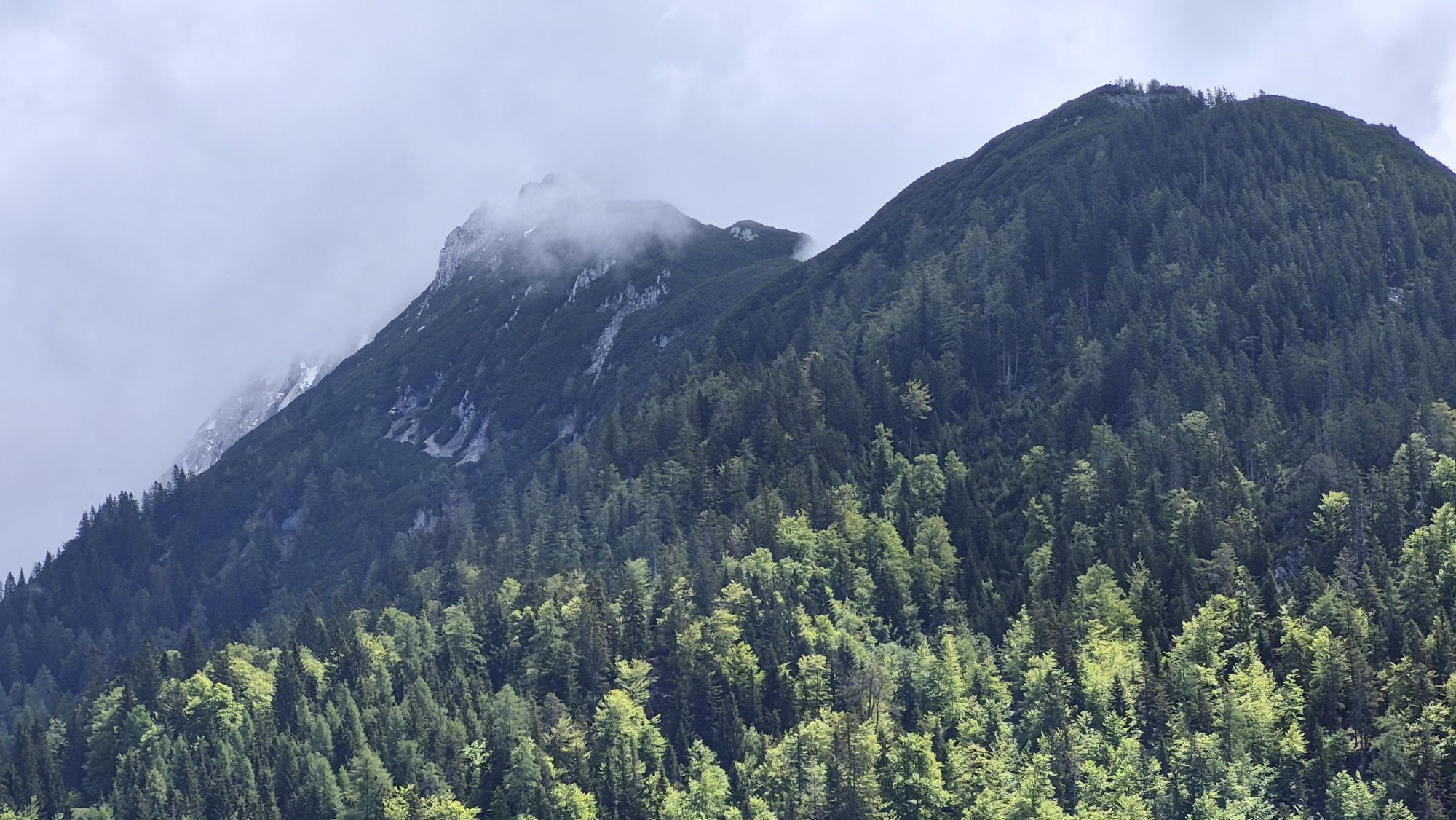
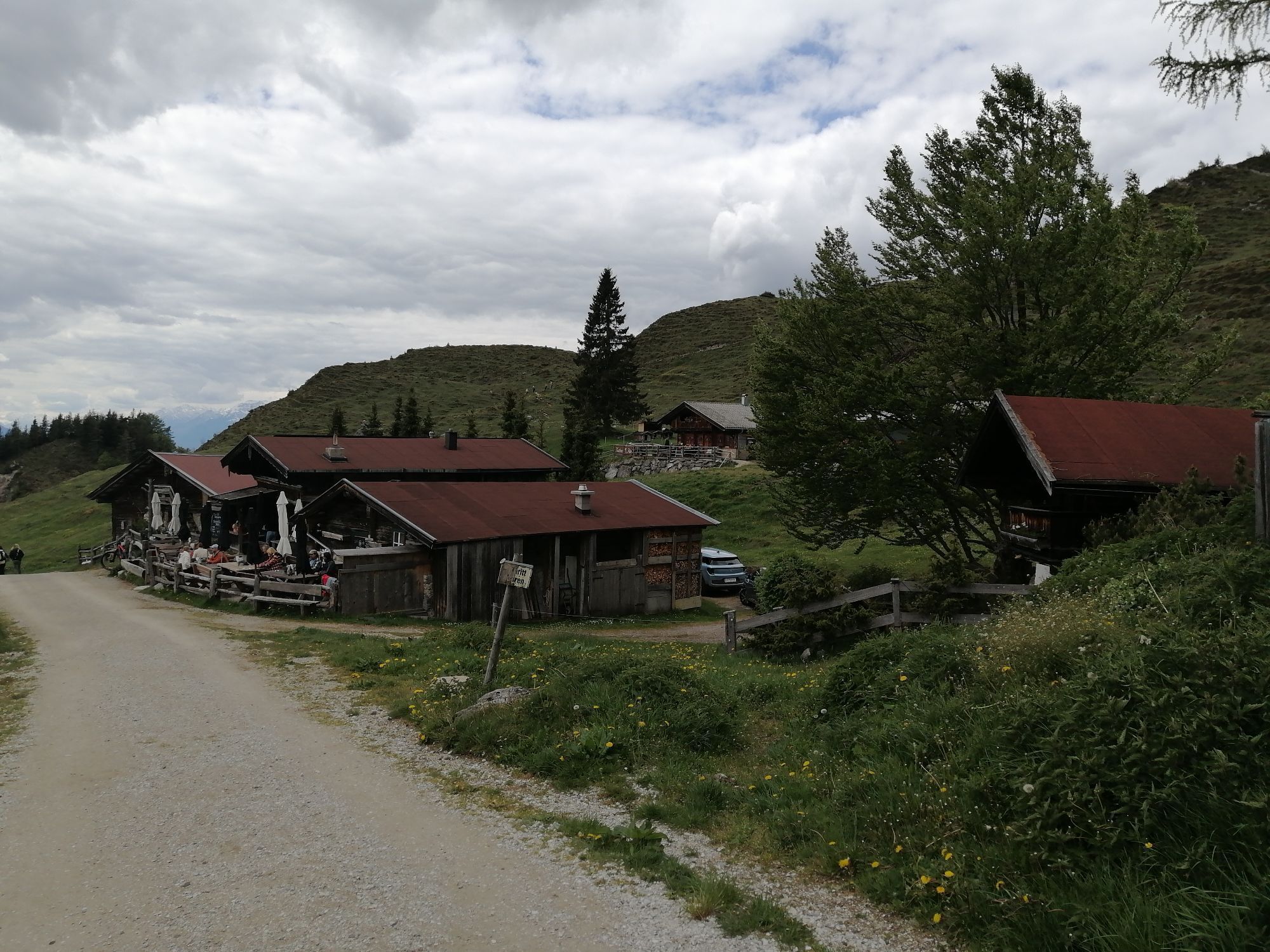
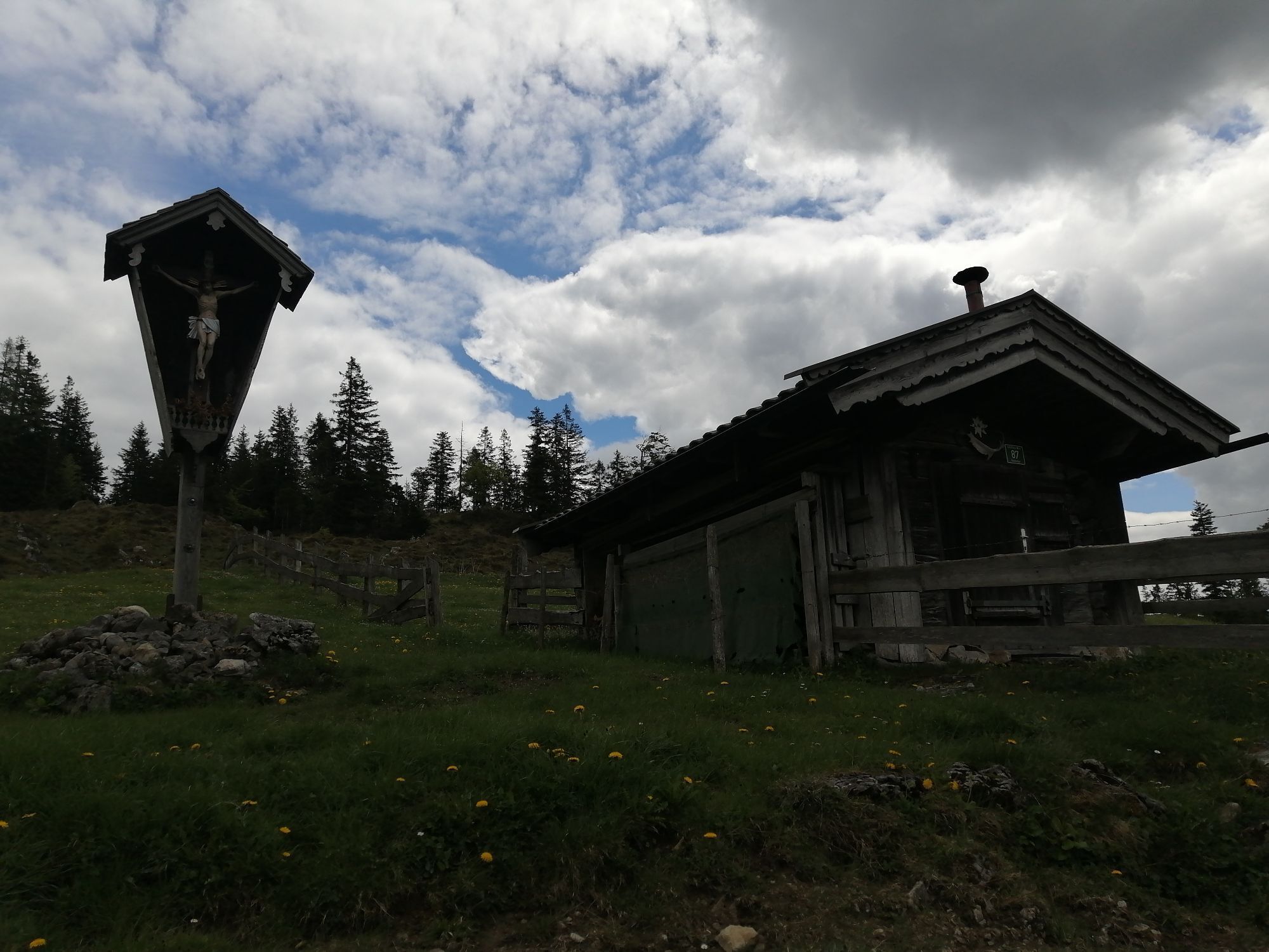
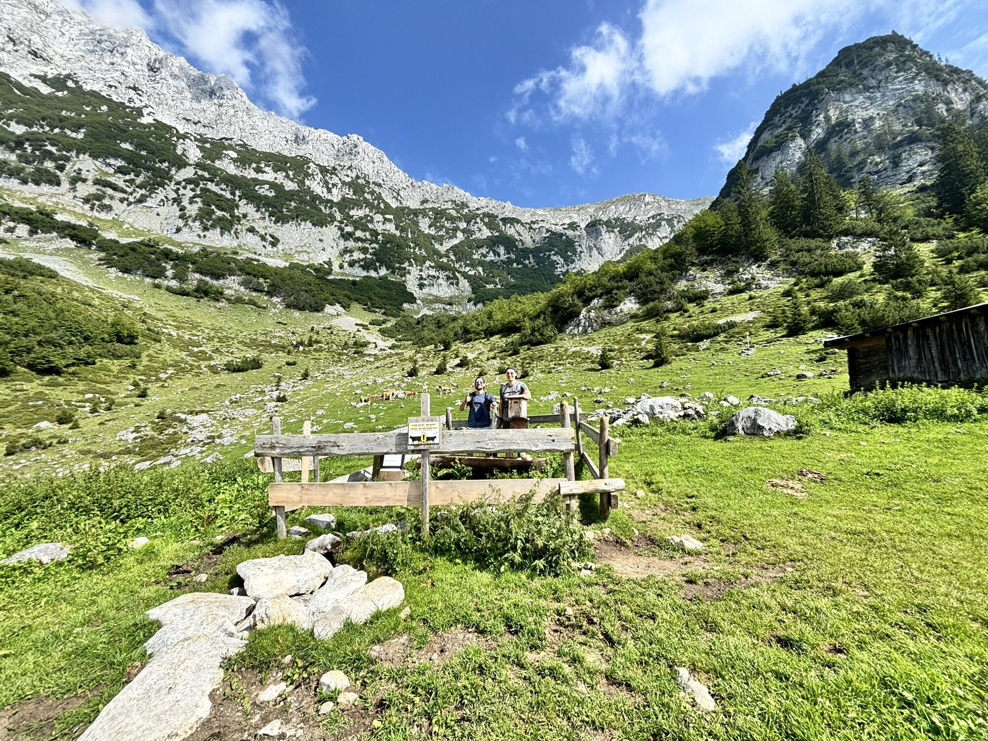
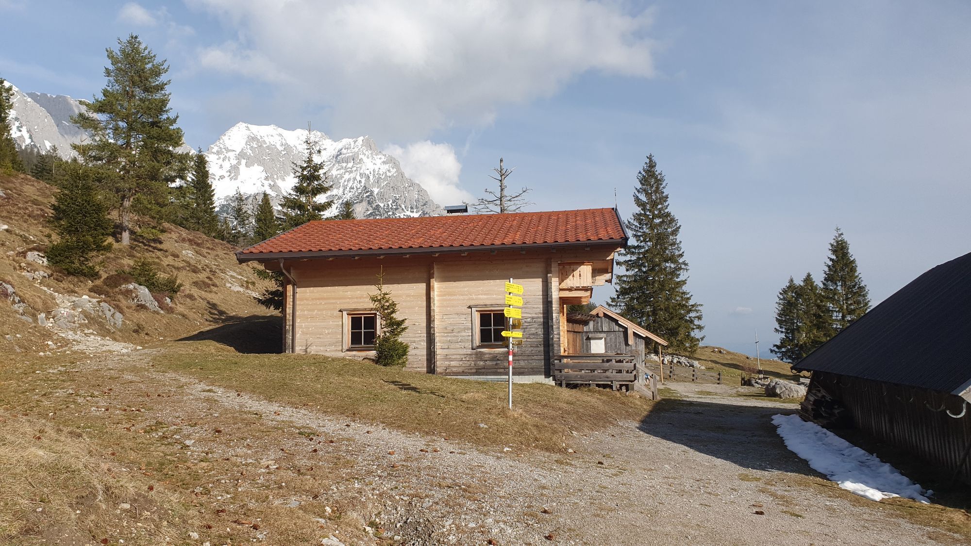
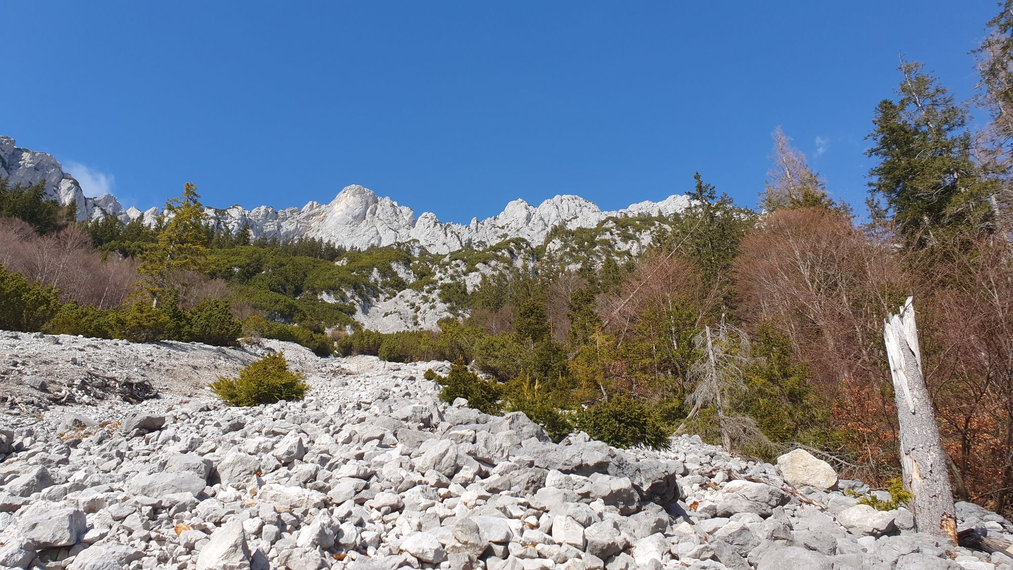
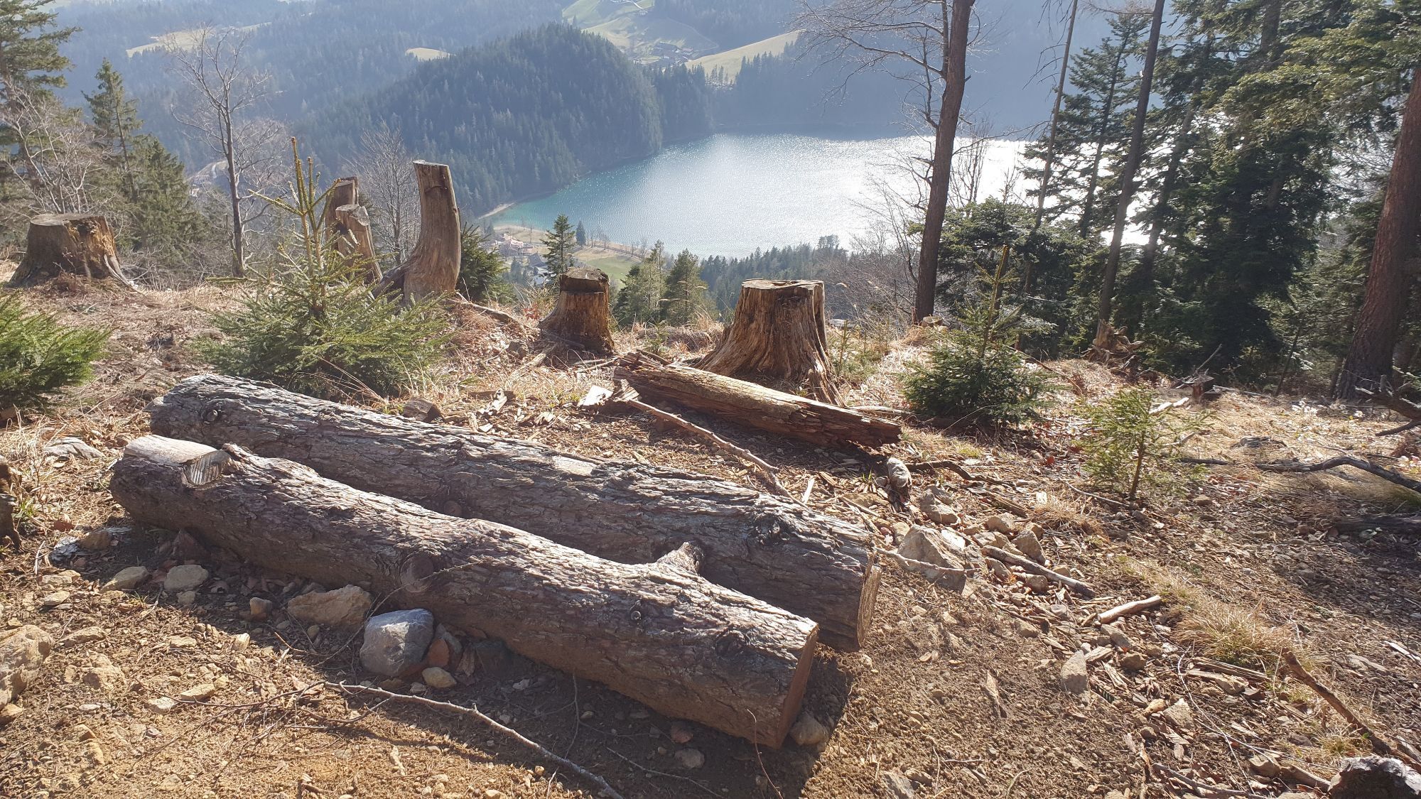
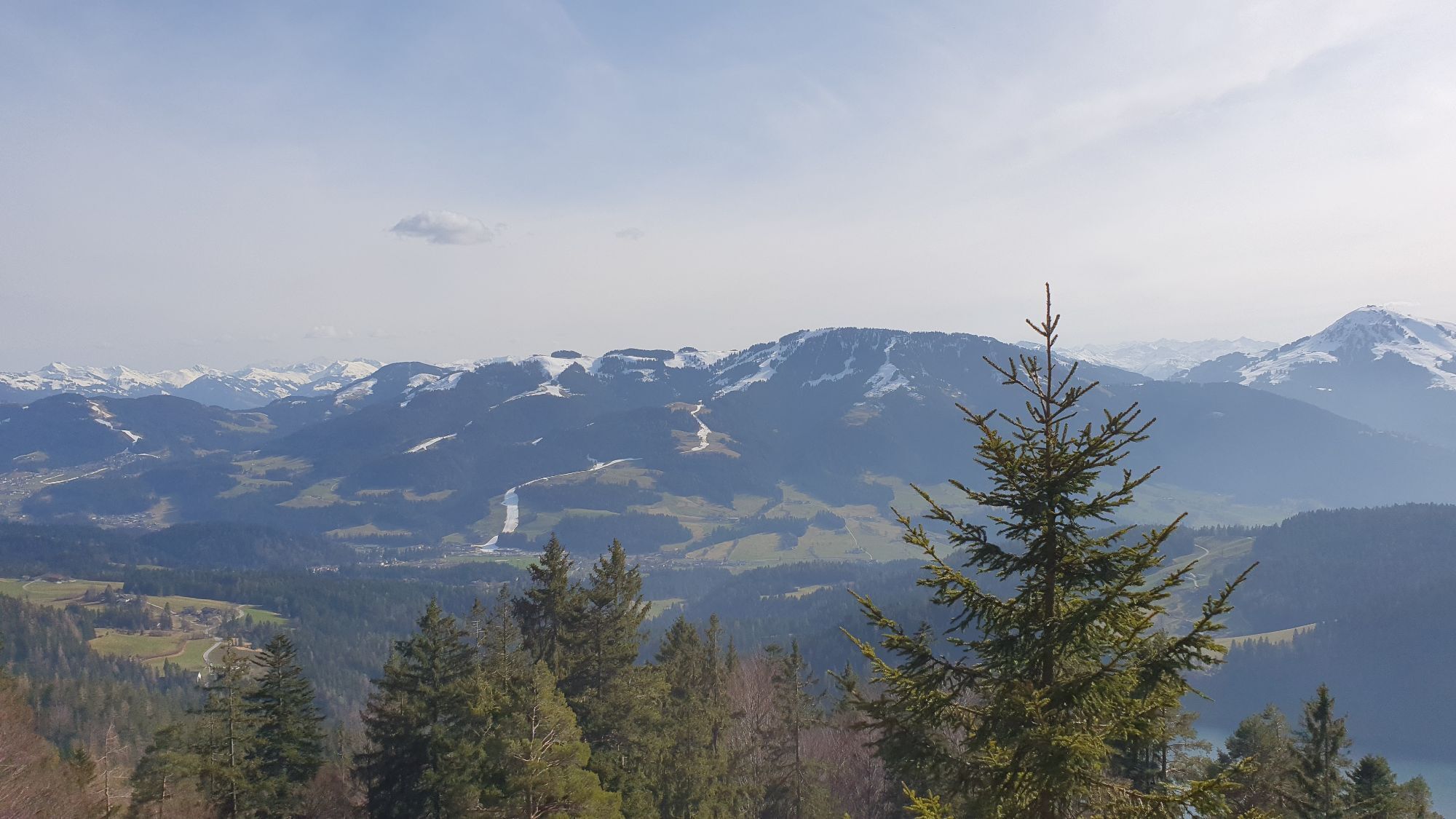
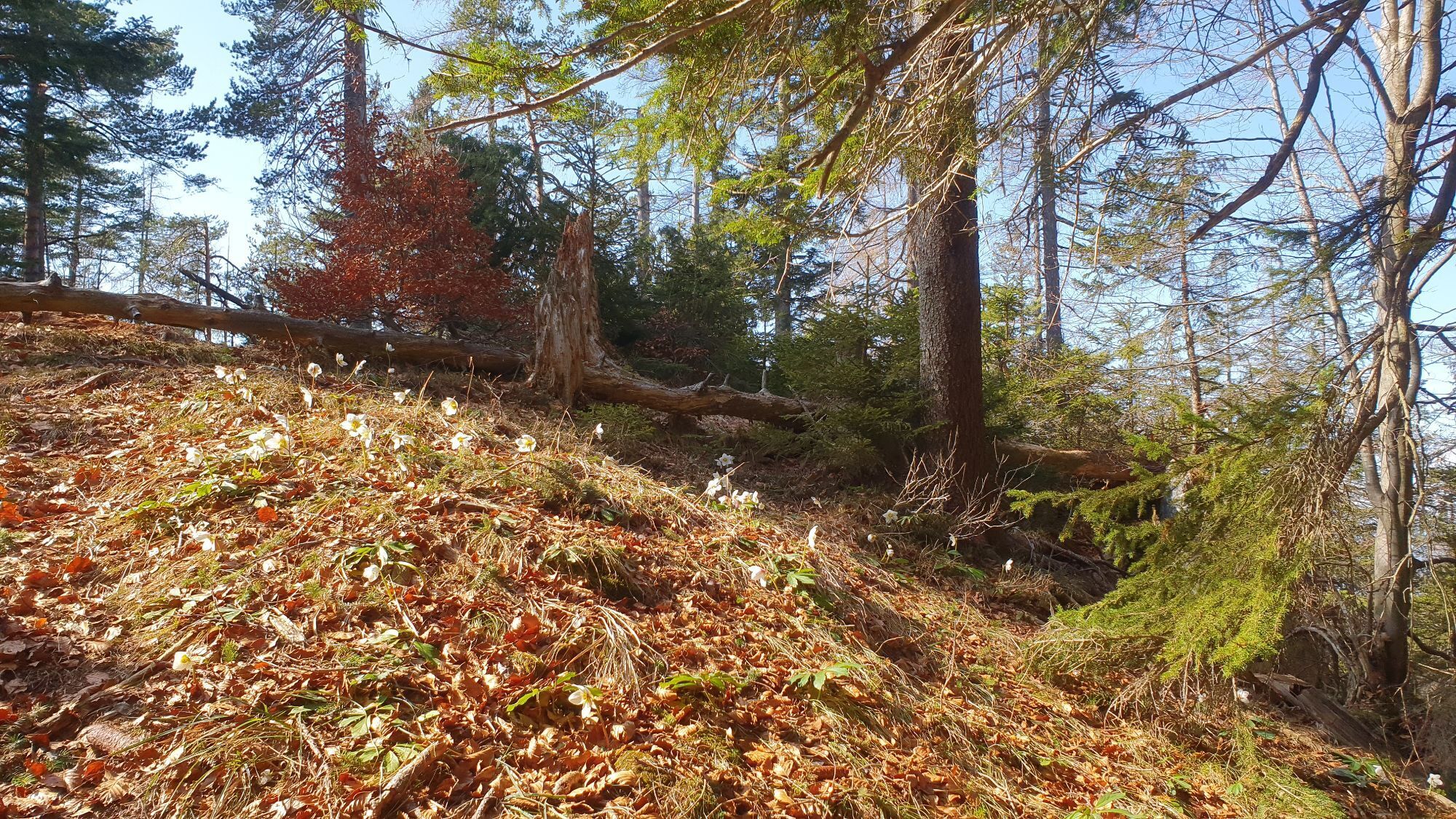
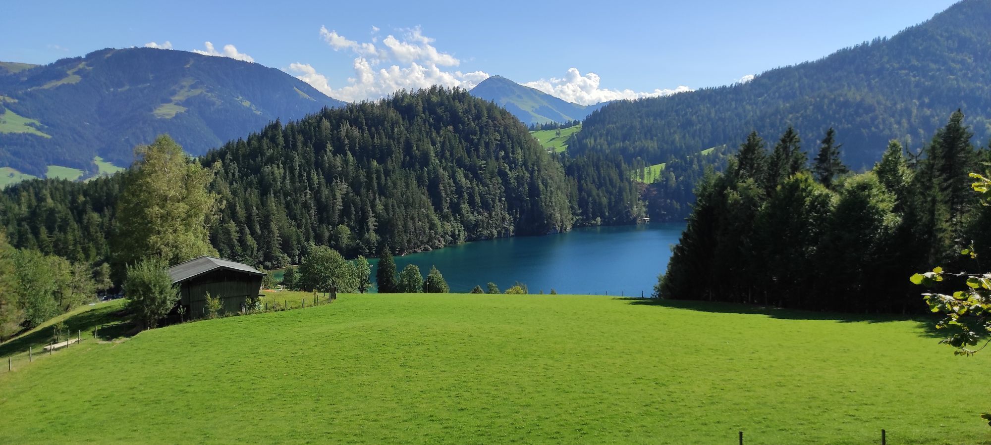
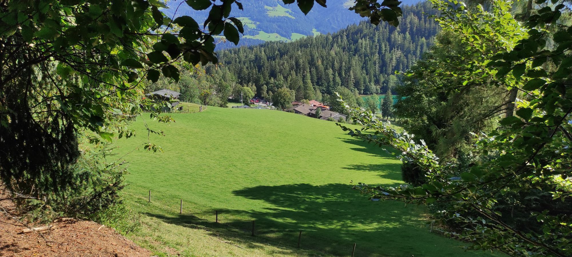
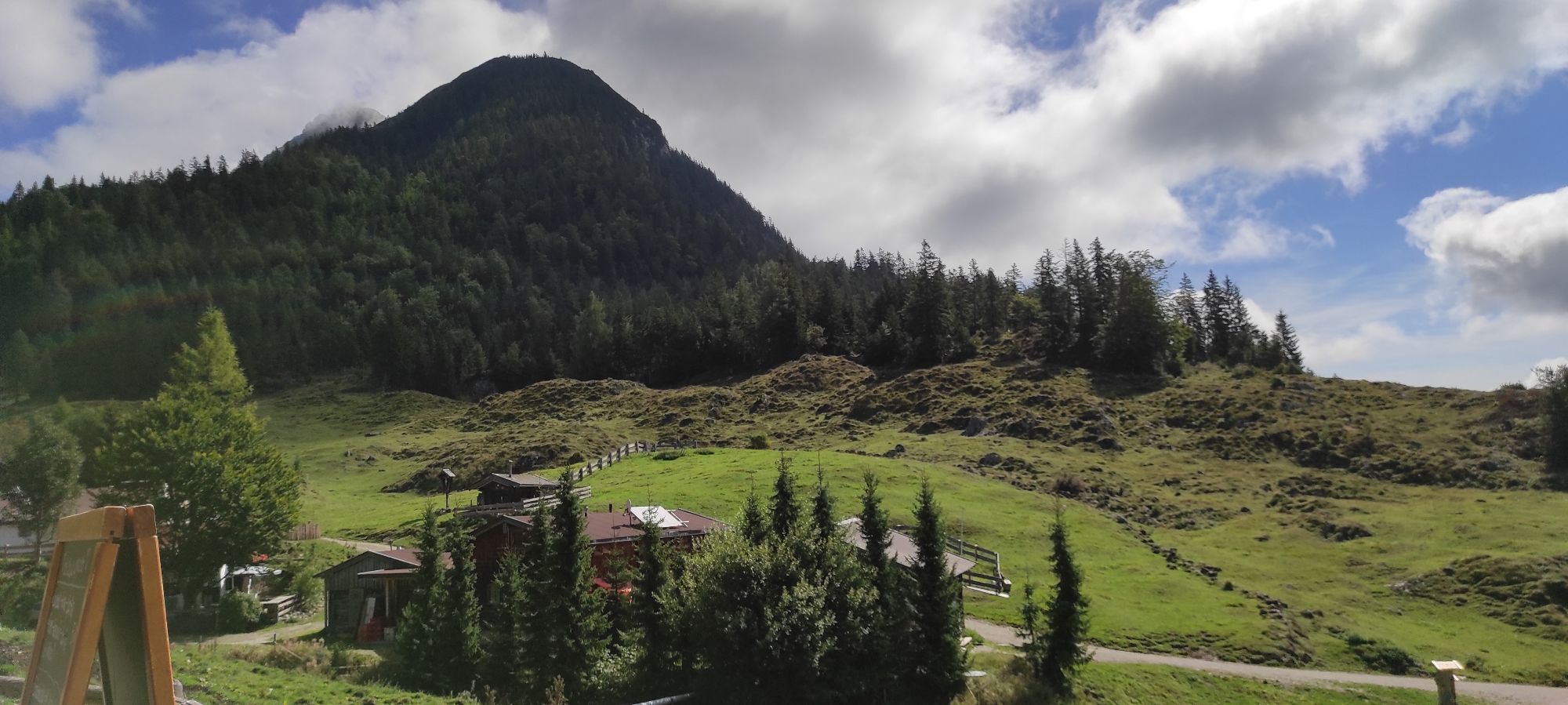
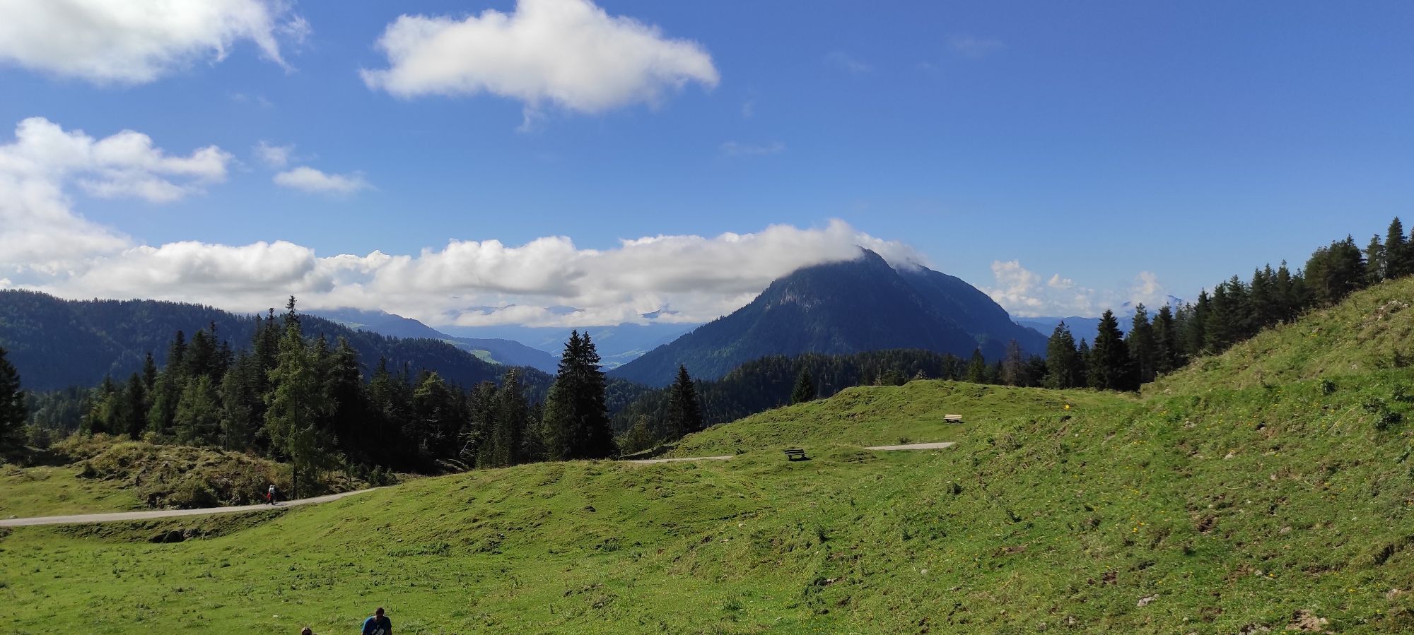
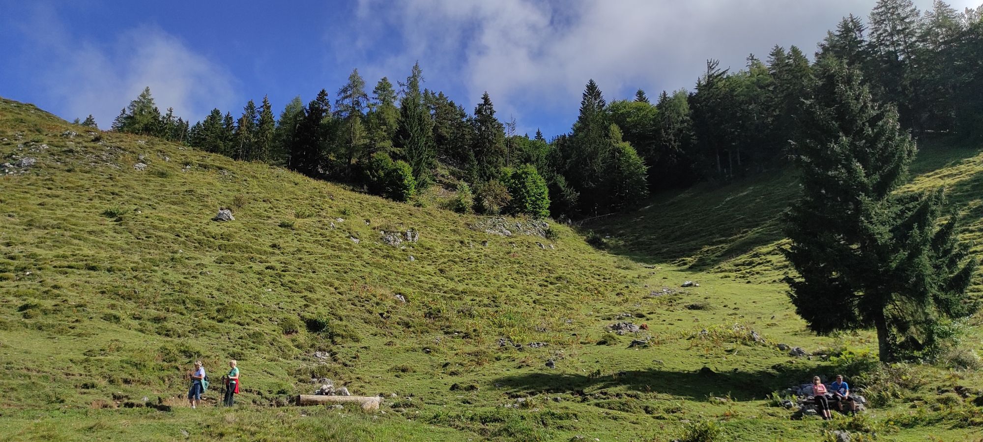
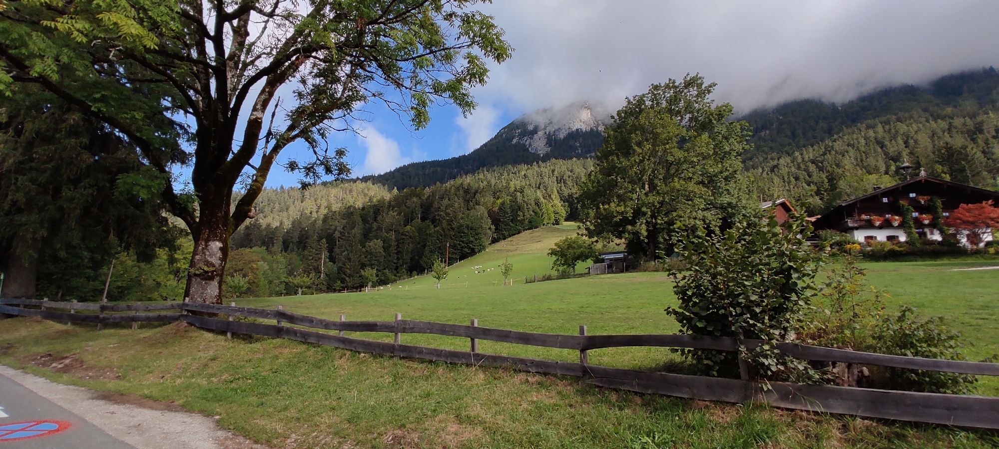
Starting from the church, head left along the asphalt road (no. 56) past the Niederscheffau and Lindenhof farms to Hintersteiner See via Seebachgraben (trail no. 43). This trail leads beside a creek through...
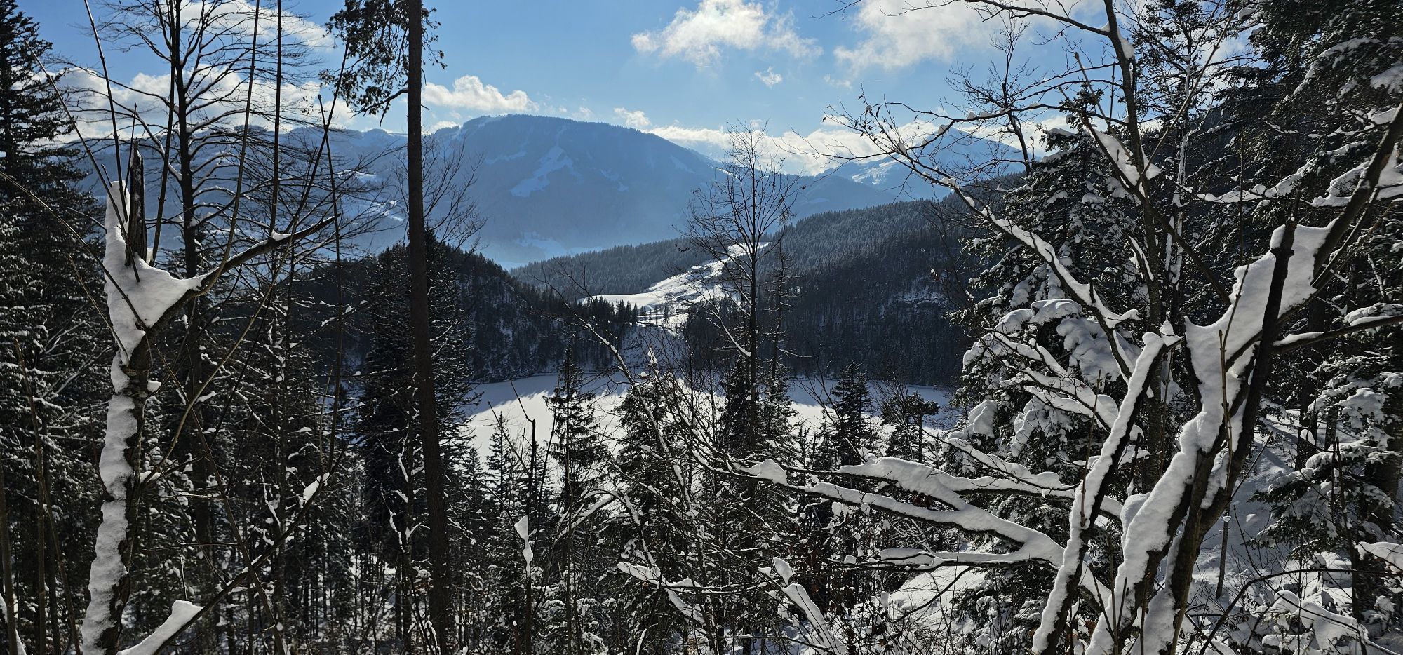
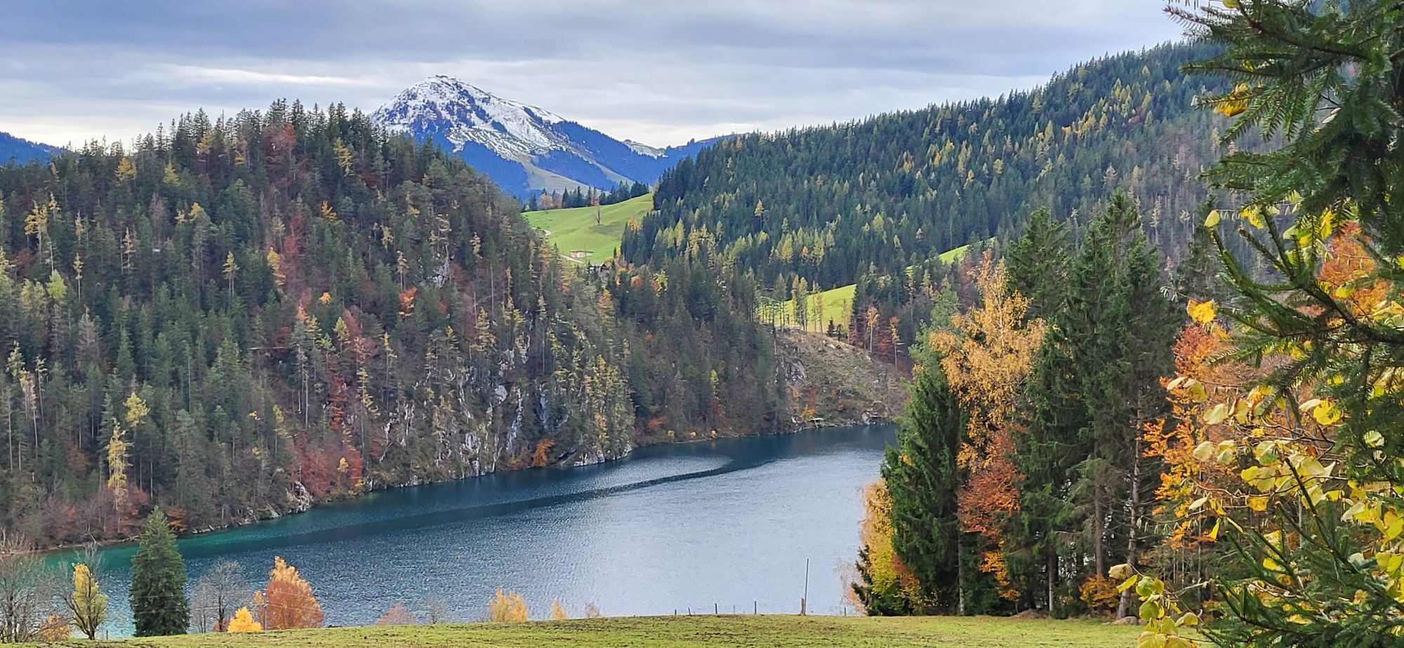
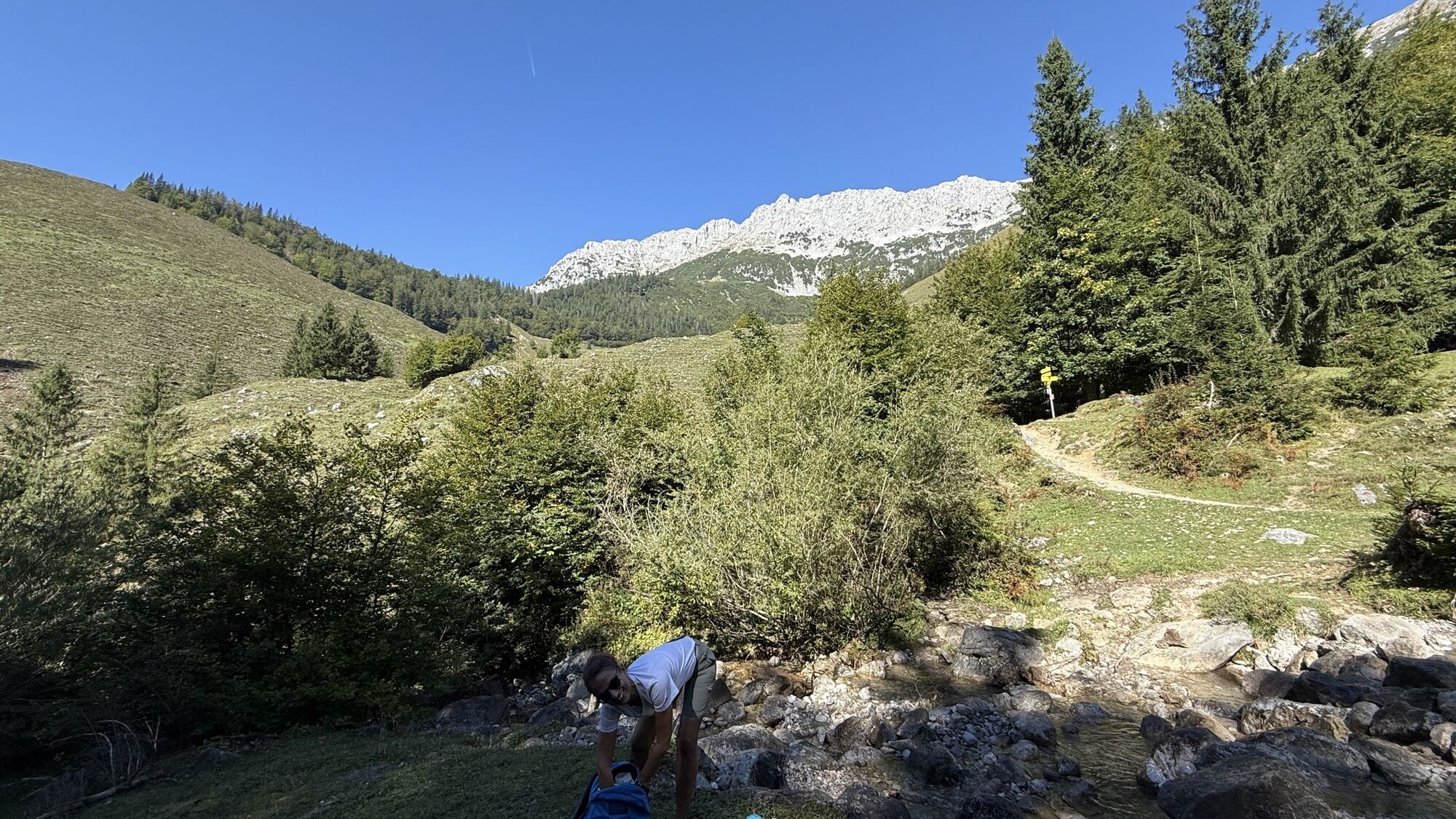
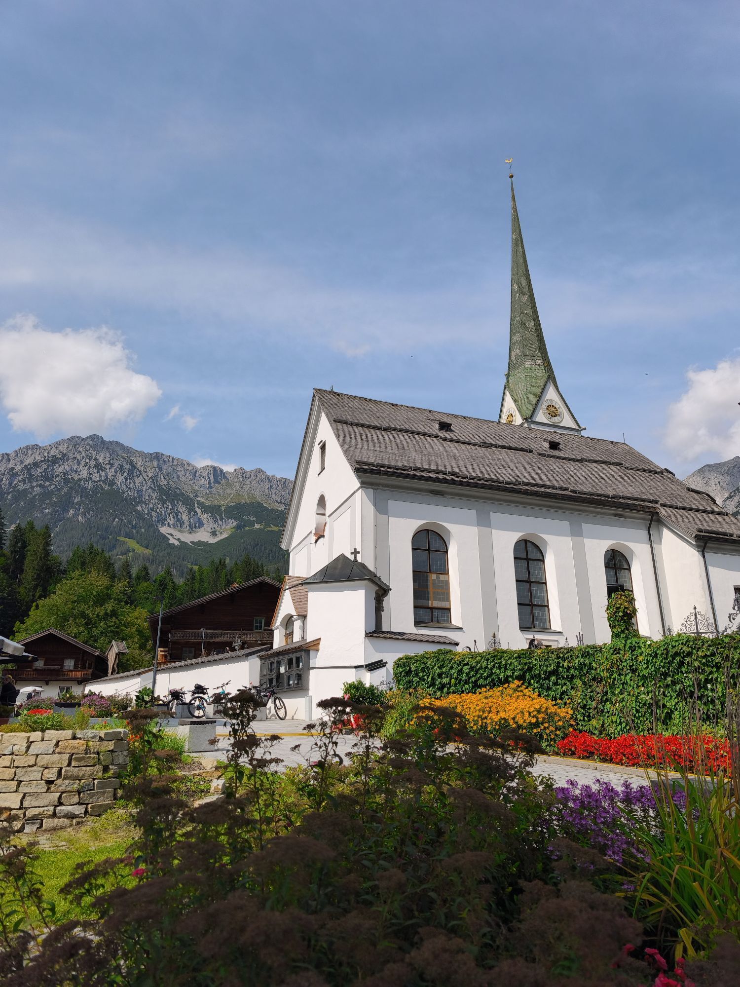
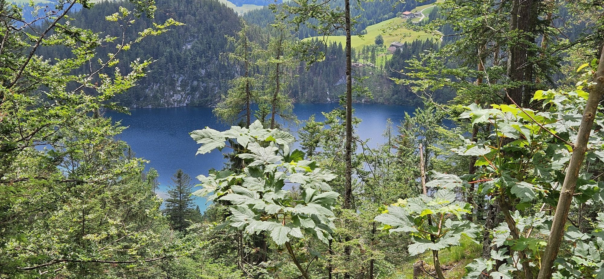
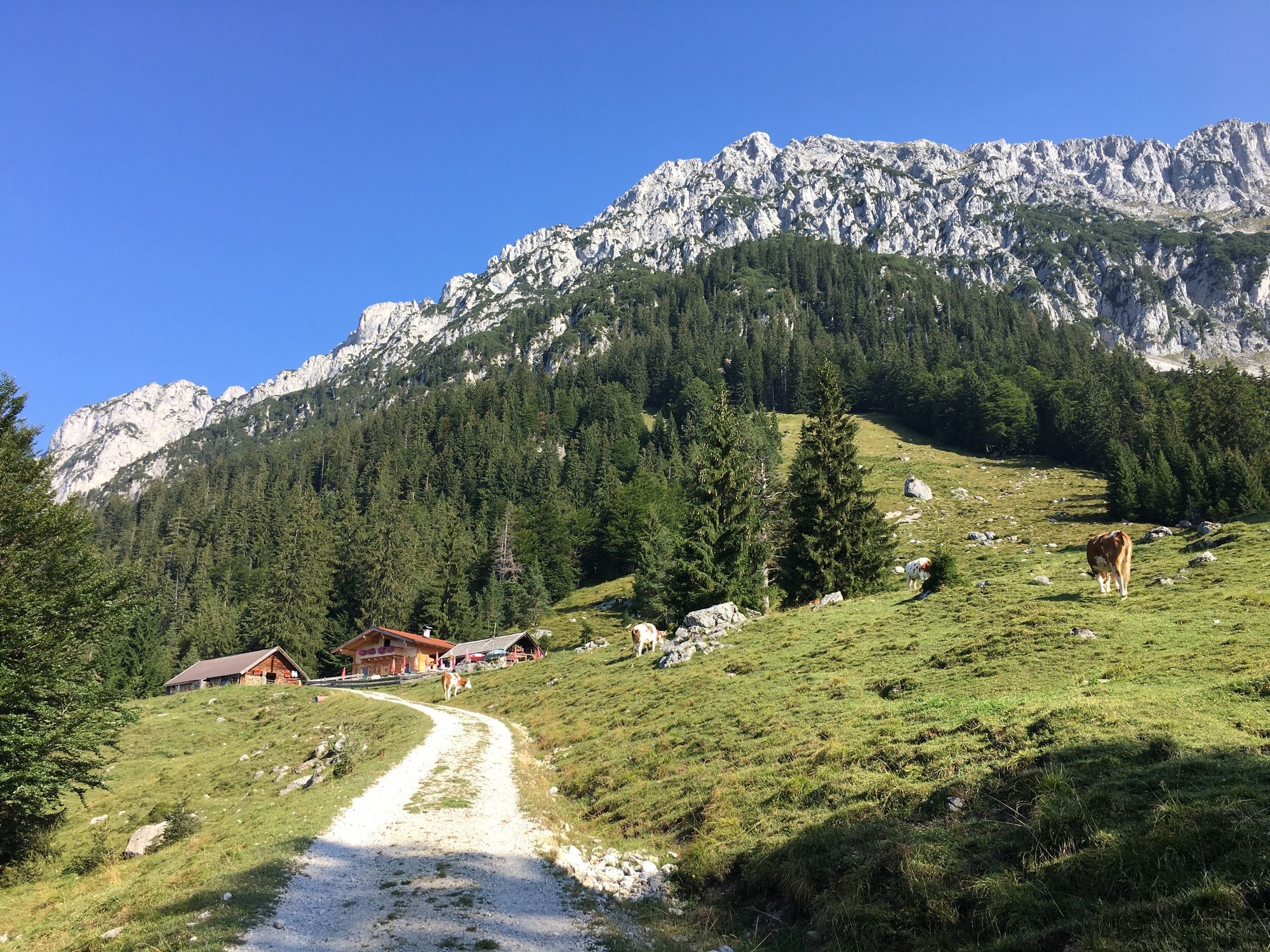
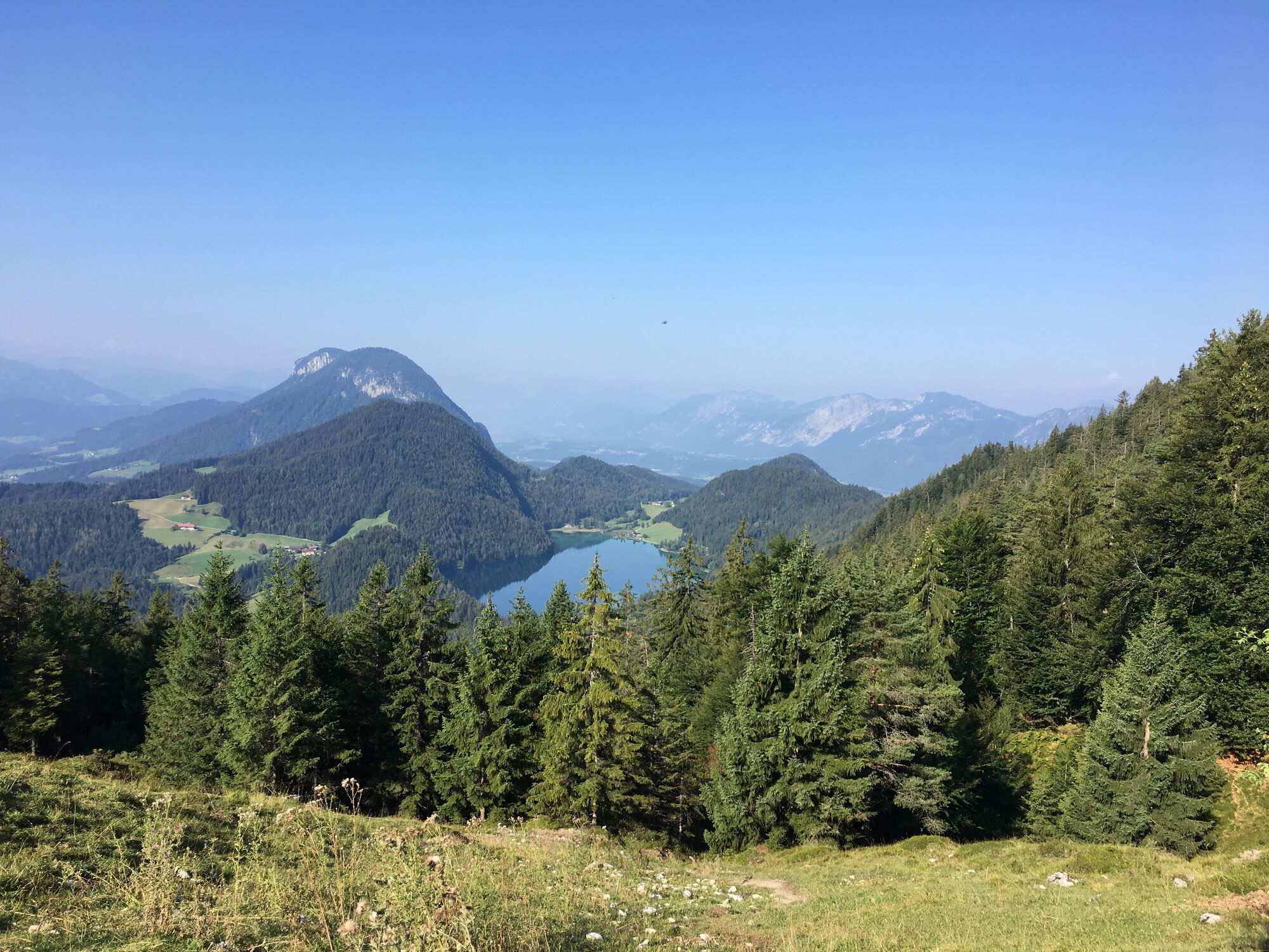
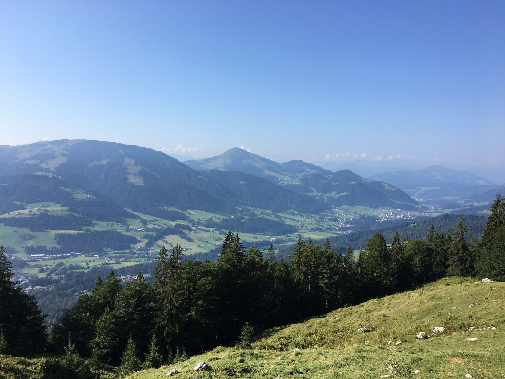
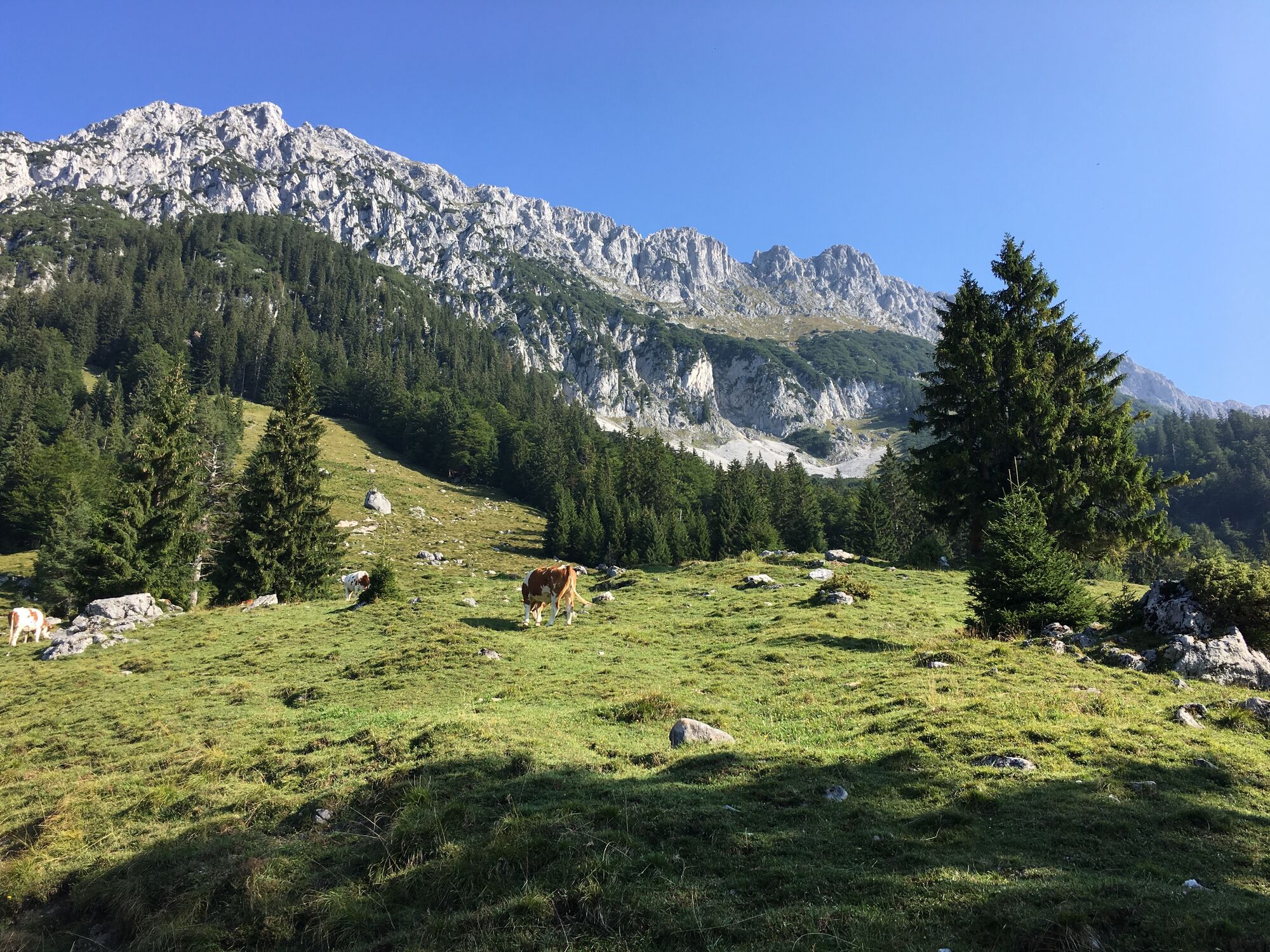
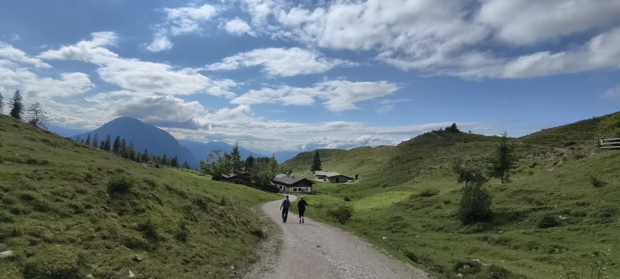
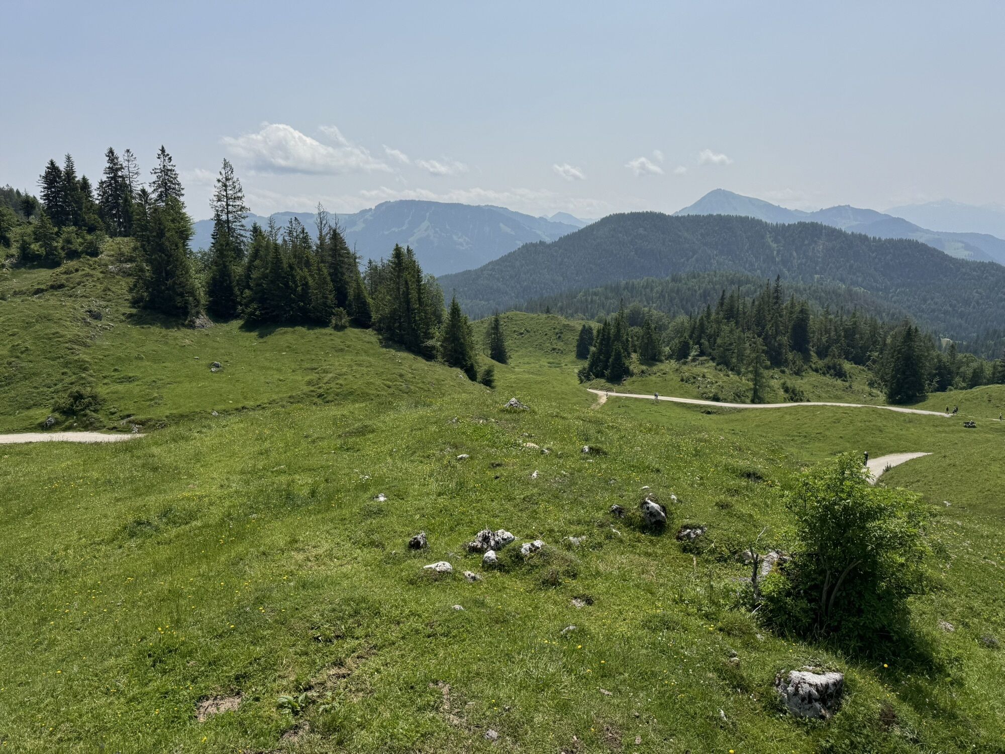
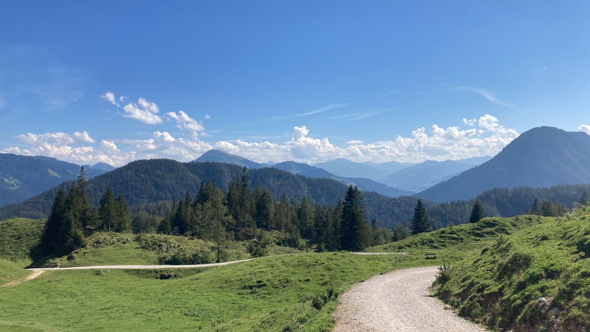
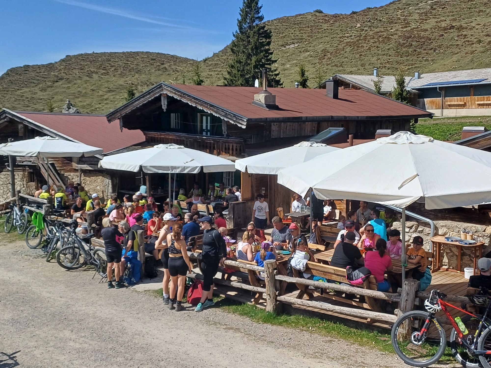
Starting from the church, head left along the asphalt road (no. 56) past the Niederscheffau and Lindenhof farms to Hintersteiner See via Seebachgraben (trail no. 43). This trail leads beside a creek through the Seebachgraben gorge. At the end, a path on the left climbs through the forest and continues through a meadow. Once you reach the Grüblernhof farm, follow the road to the left to Hintersteiner See. At the Seestüberl restaurant, turn right and follow the path no. 45a + no. 45 until you reach the Walleralm. After the Walleralm, keep right and follow the WKS (Wilder-Kaiser-Steig trail no. 823) towards the Steiner Hochalm and continue along the WKS until you reach the Kaiser-Hochalm. Stay on the WKS until the Wegscheid-Hochalm, where you begin your descent to the Jägerwirt inn (trail no. 826) and then continue back to the village.
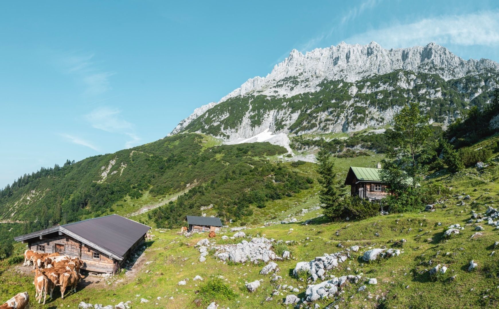
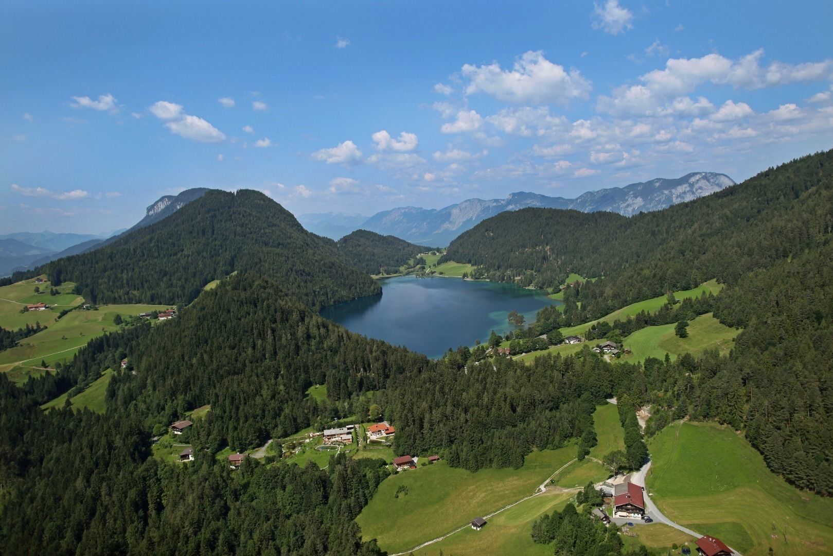
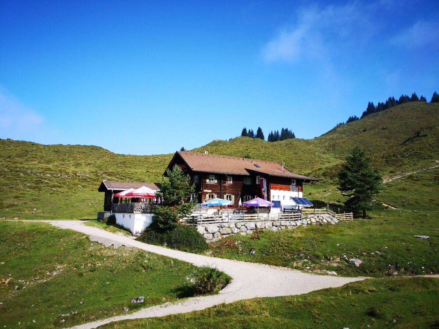
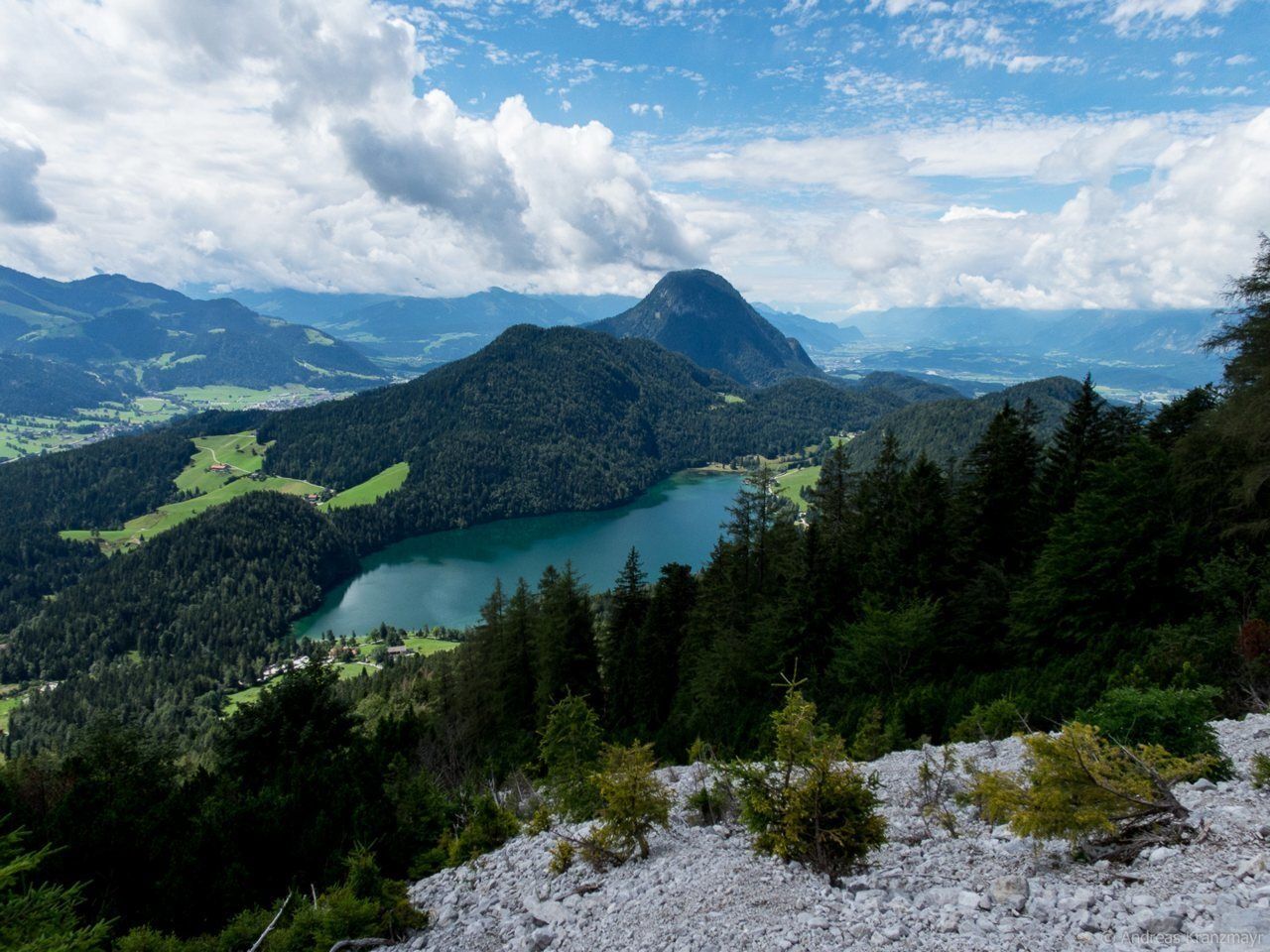
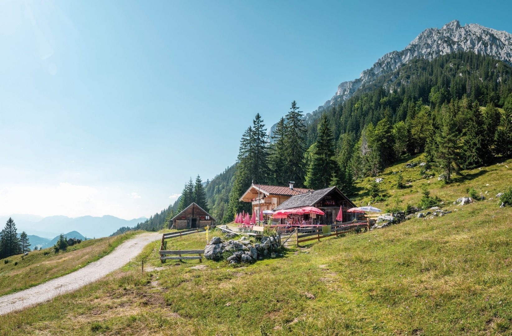
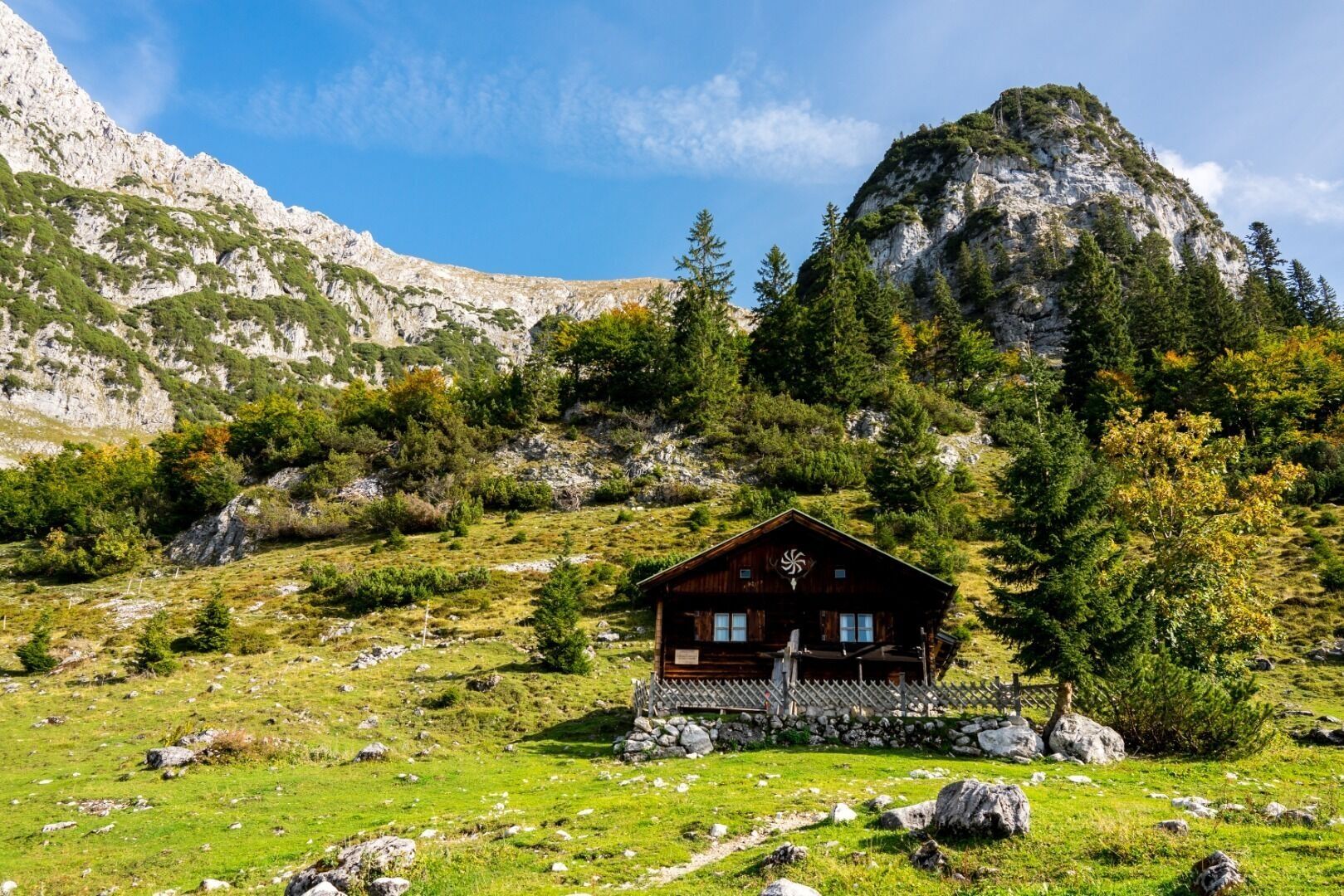

Starting from the church, head left along the asphalt road (no. 56) past the Niederscheffau and Lindenhof farms until you reach Café Rosemarie. Then make a right turn towards Hintersteiner See lake (trail no. 43). This trail leads through the wild and romantic Seebachgraben ditch. At the end, a path on the left climbs through the forest and continues through a meadow. Once you reach the Grüblernhof farm, follow the road to the left in the direction of Seestüberl/Hintersteiner See. At the Seestüberl restaurant, turn right onto an uphill path (no. 45a) that merges back into a forest road (no. 45). Follow this until you reach the Walleralm, where you should keep right and follow the WKS (Wilder-Kaiser-Steig trail no. 823) towards the Steiner-Hochalm. Continue along the WKS until you reach the Kaiser-Hochalm Alpine pasture. Stay on the WKS until the Wegscheid-Hochalm fork, where you begin your descent to the Jägerwirt inn (trail no. 826) and then continue back to the village.
Wilder Kaiser hiking map (1:25.000) available in the tourist information centres Ellmau, Going, Scheffau and Söll
Rucksack, sturdy hiking shoes, weather-appropriate hiking gear, sun protection, waterproofs, snack and drink, hiking poles (height adjustable) if required, mobile phone, plastic bag for waste, hiking map, route description and information materials (GPX track), ID, cash
Heading from Wörgl, Kufstein or St. Johann on the B178 road, take the exit to Scheffau. Shortly before you come to the church, you will see the Tourist Info and the hiking starting point on the left-hand side (short-stay parking zone).
Public car park, Scheffau (740 m), north of the Community Hall - free
Hol dir den Einblick Immer live vor Ort mit über 9.500 Webcams. In der Touren App von bergfex siehst du als Pro-User jetzt zu vielen Touren die passenden Webcams. So kannst du dir direkt die aktuellen Bedingungen ansehen.Beliebte Touren in der Nähe
- 4,7
Kirchdorf: Zur geheimnisvollen Teufelsgasse
mittelWanderung 7,90 km - 4,7
Musikantensteig zur Naunspitze
mittelWanderung 8,96 km - 4,5
Über Hintersteinersee und Walleralm aufs Hochegg
leichtWanderung 12,2 km - 4,5
Wanderung um den Hintersteinersee
leichtWanderung 5,29 km - 4,6
Hintersteinersee
mittelWanderung 9,87 km - 5,0
Stripsenjoch Klettersteige/ Rundwanderung von Griesener Alm über Stripsenjochhaus und Feldberg
mittelKlettersteig 10,2 km - 4,9
Route 209: Brechhornhaus-Choralpe
schwerMountainbike 24,4 km - 4,2
Bergdoktor Wohnhaus "Gruberhof" (Köpfing Hof) Rundeweg-Söll
leichtWanderung 8,70 km - 5,0
Kirchdorf: Stripsenjoch Klettersteige
schwerKlettersteig 3,76 km - 4,5
Pyramidenspitze, Vordere Kesselschneid
schwerWanderung 12,8 km
Wandern & Tracking


Verpasse keine Angebote und Inspirationen für deinen nächsten Urlaub
Deine E-Mail-Adresse wurde in den Verteiler eingetragen.





