


Pyramidenspitze round tour
The Pyramidenspitze round tour can be done as a one or two day tour. Starting point is the Aschinger Alm in Ebbs. Directly behind the Alm you follow the signs in the direction of Winklalm/Jovenalm. First...
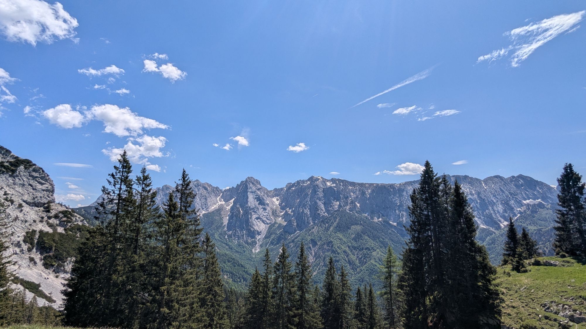
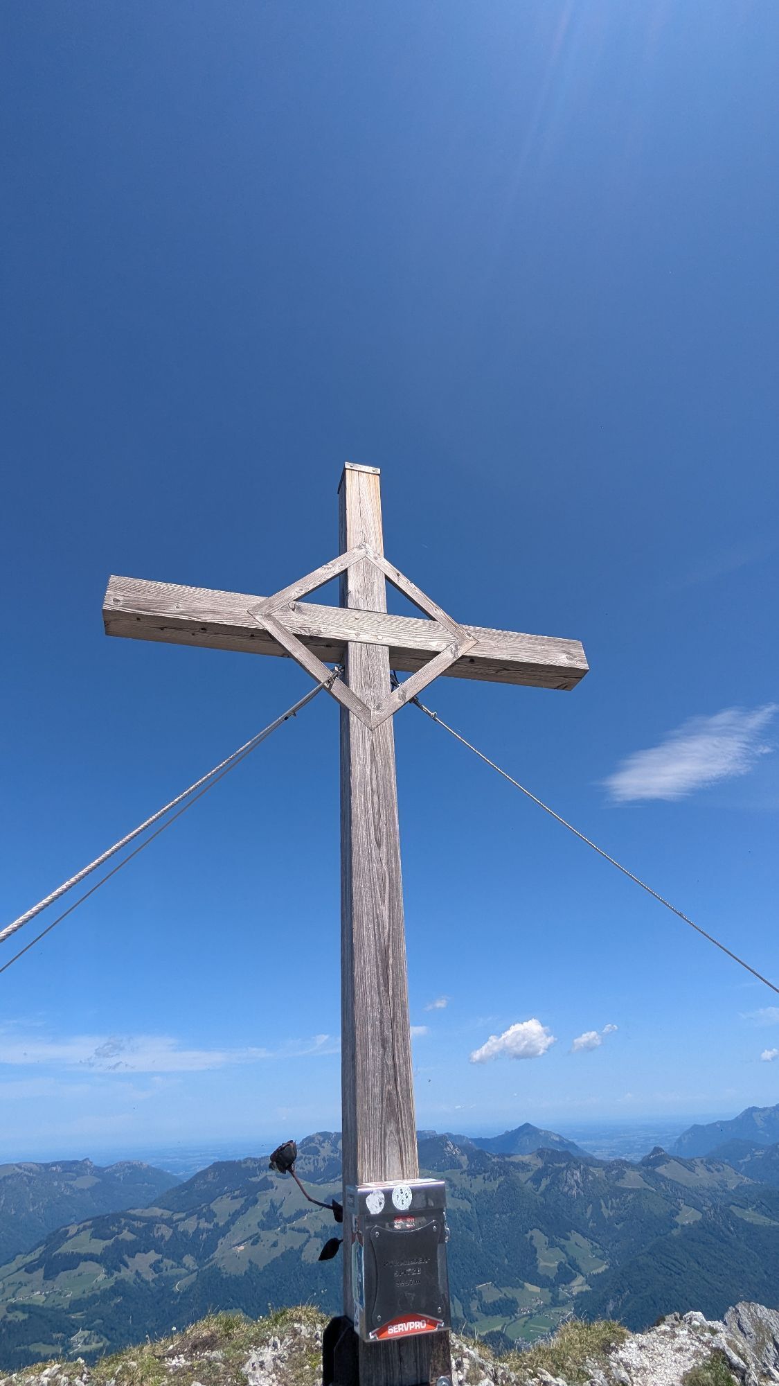
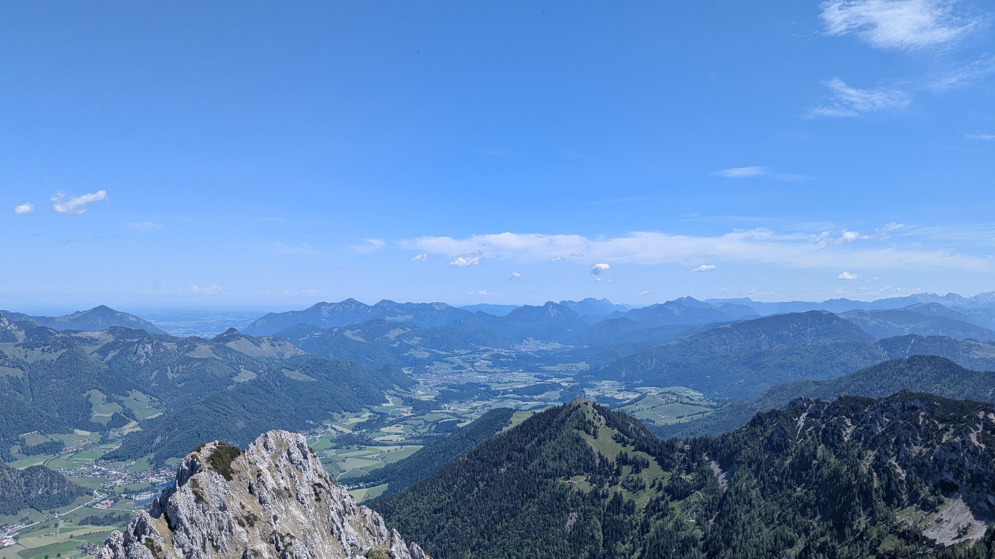
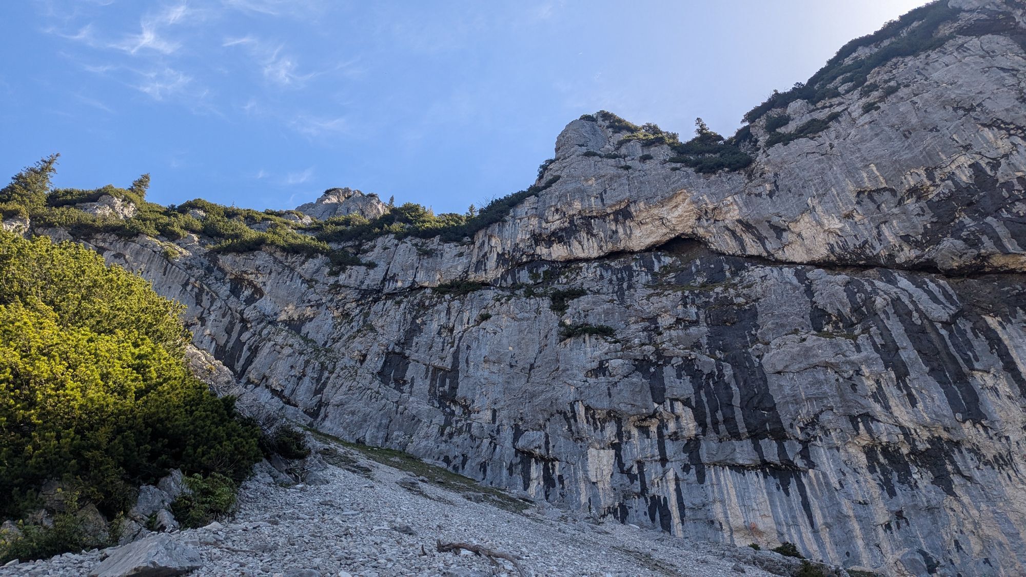
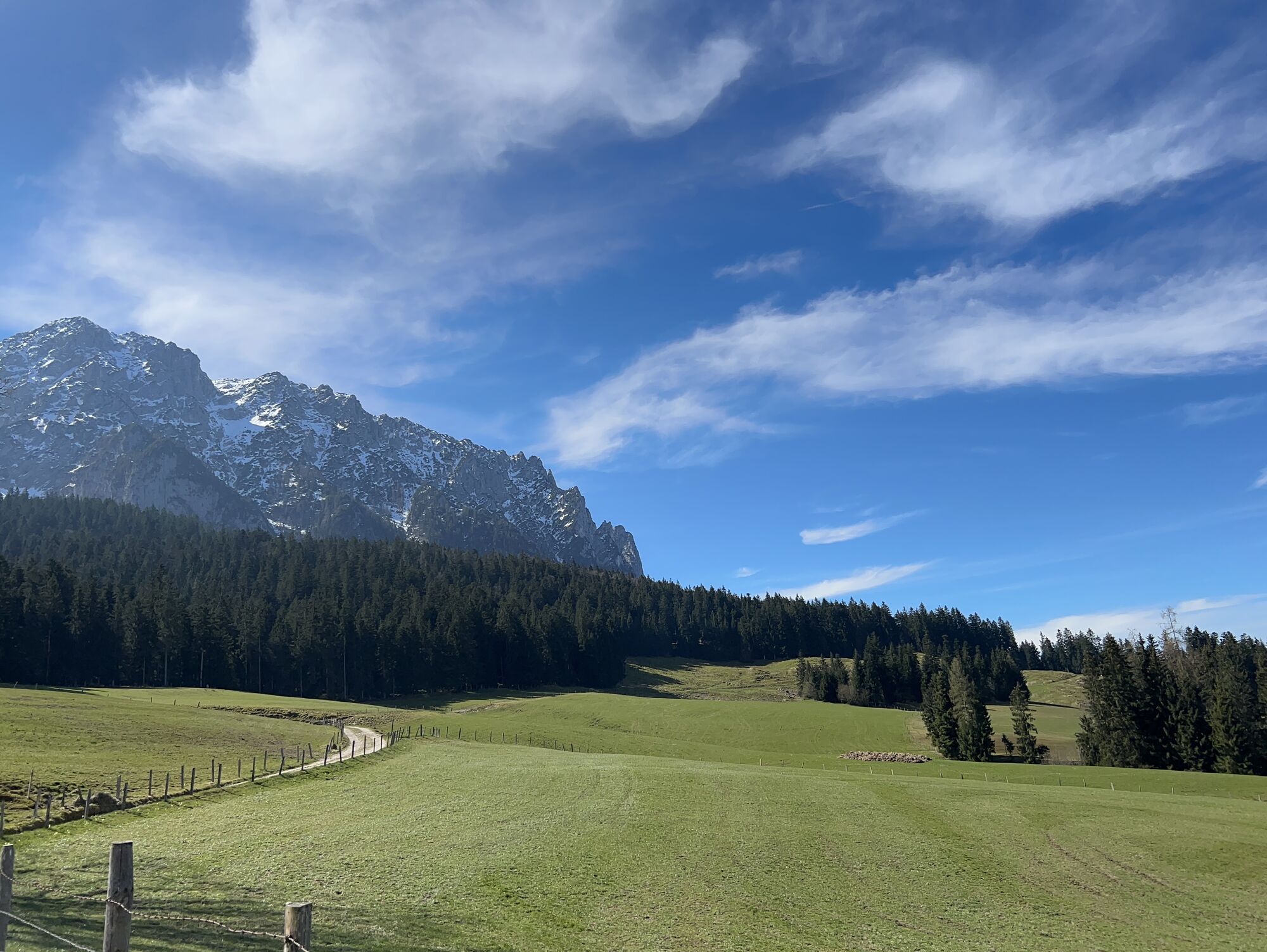
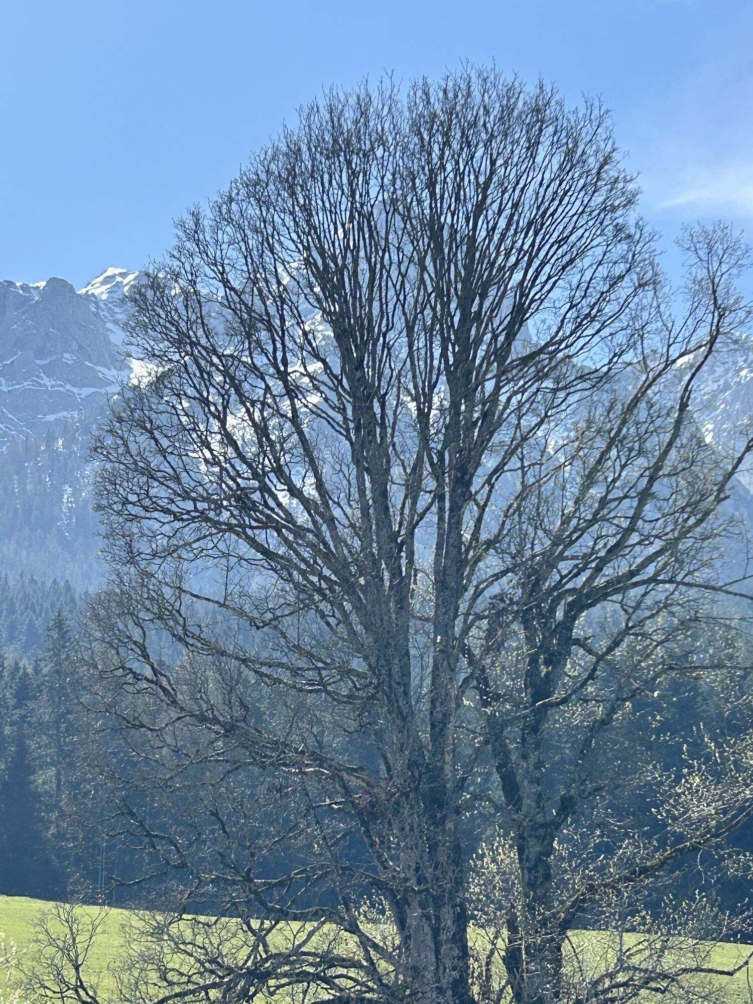
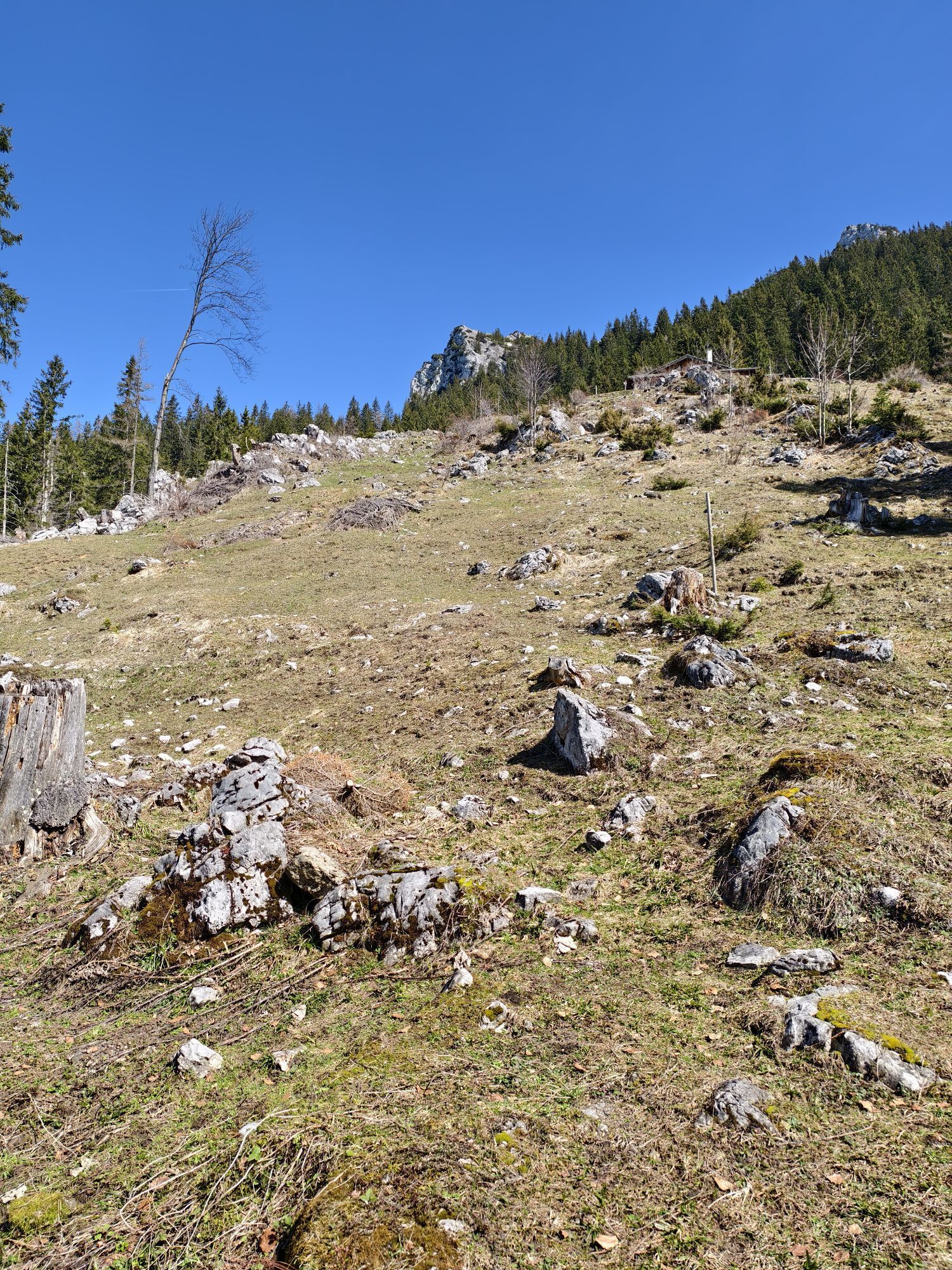
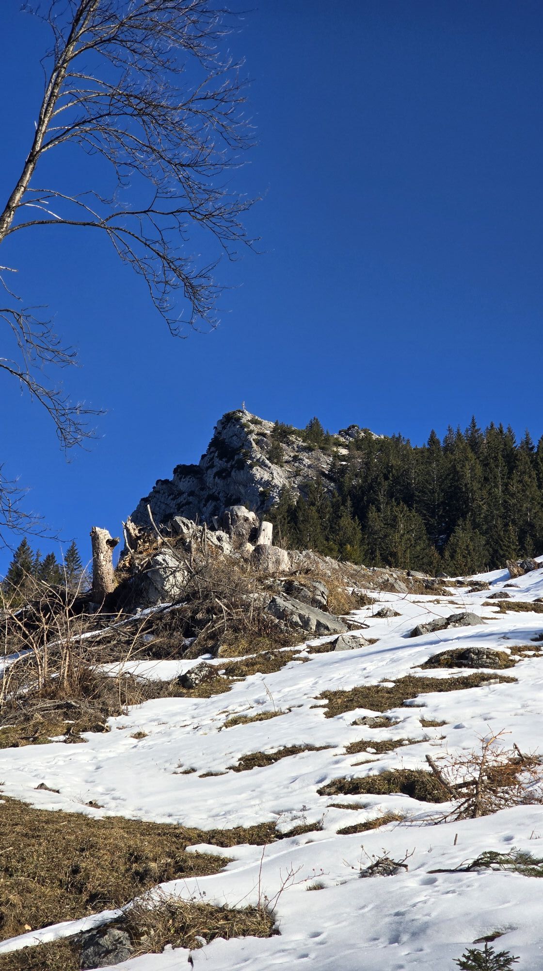
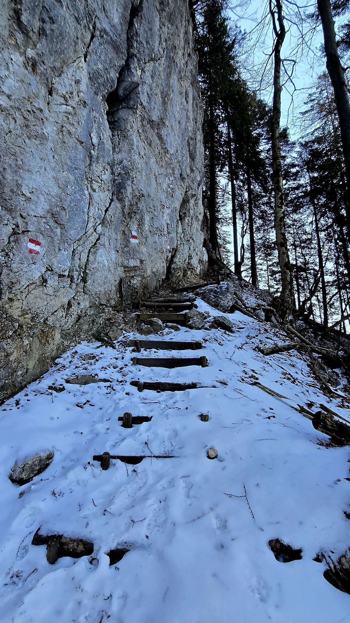
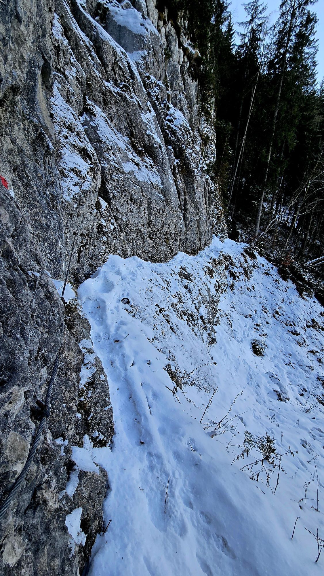
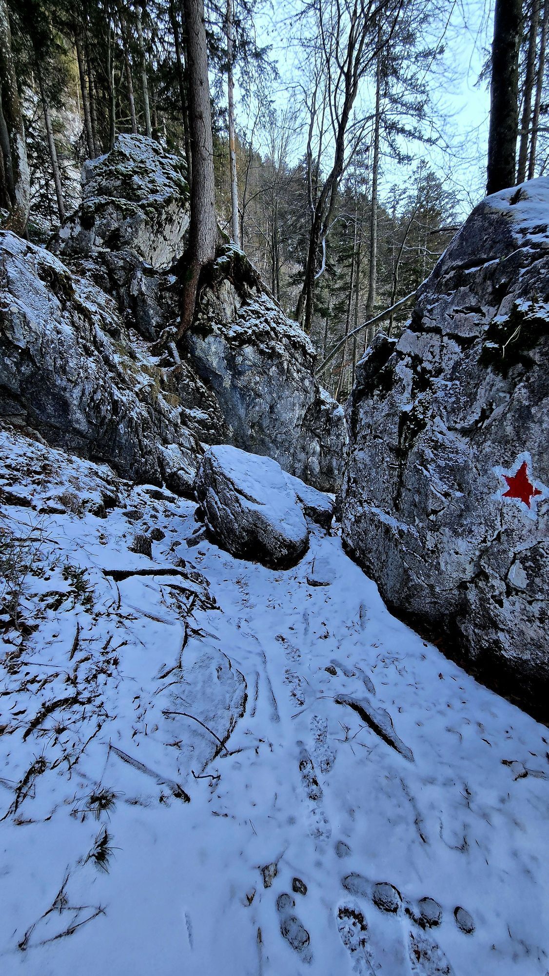
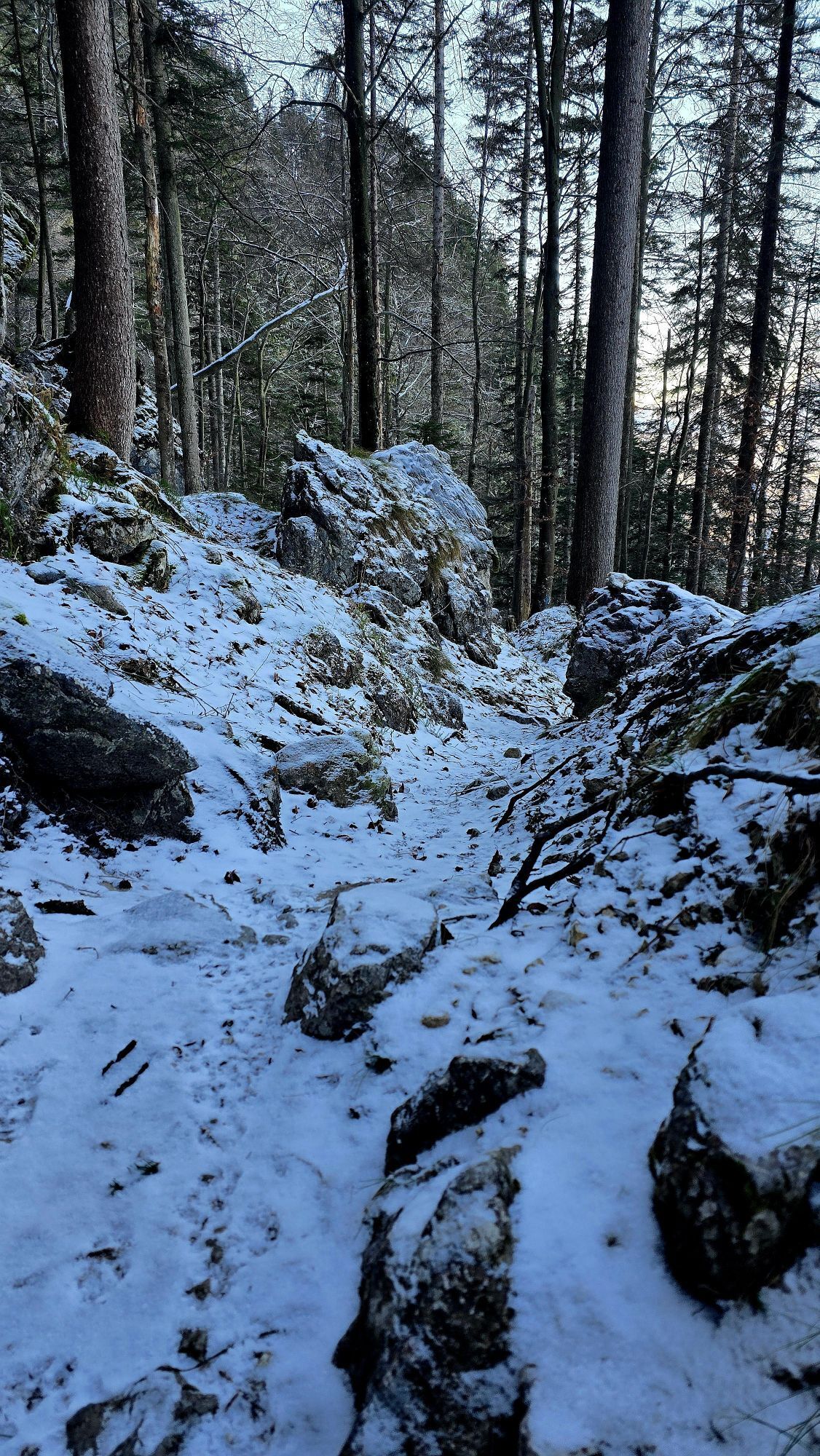
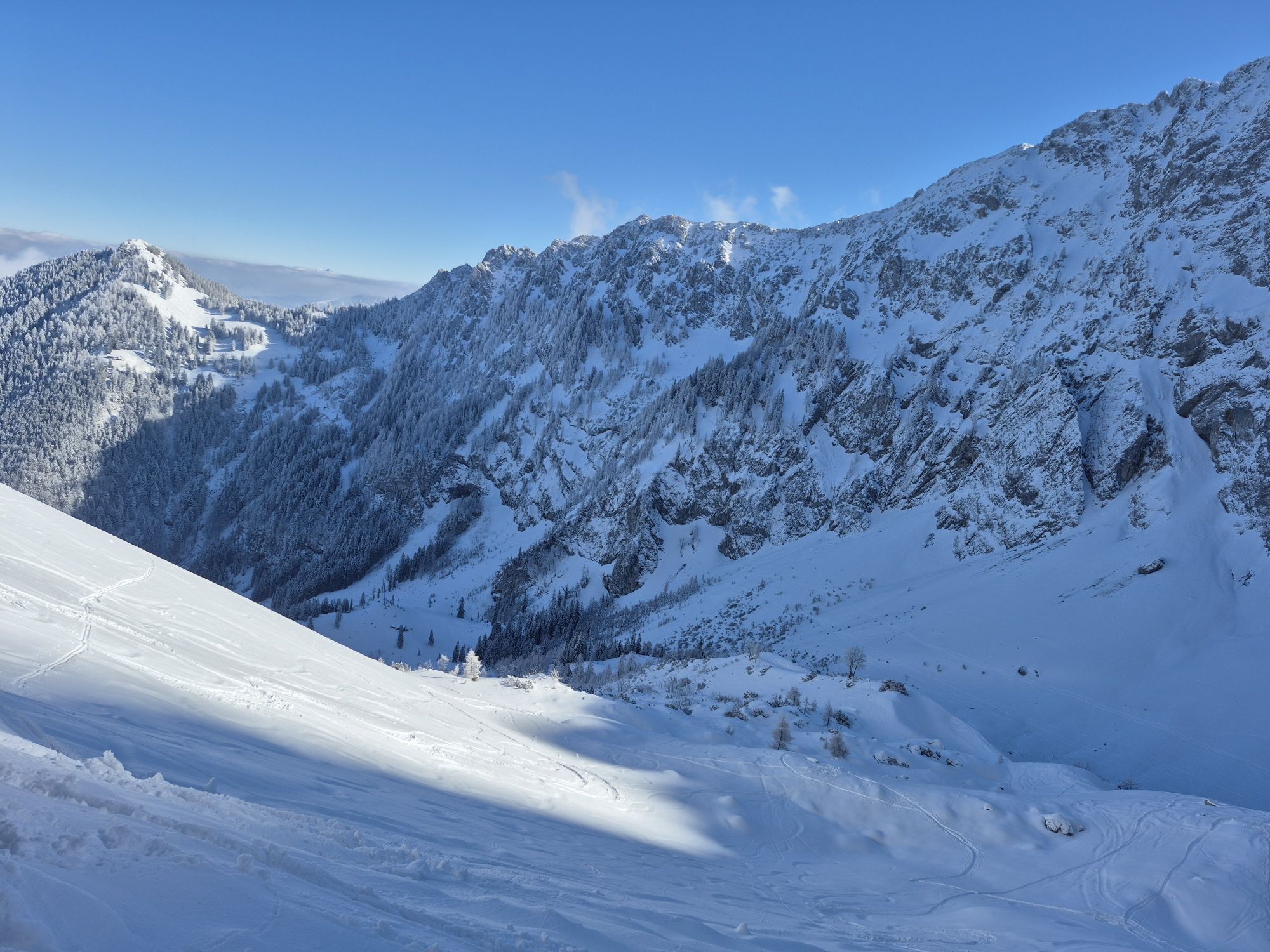
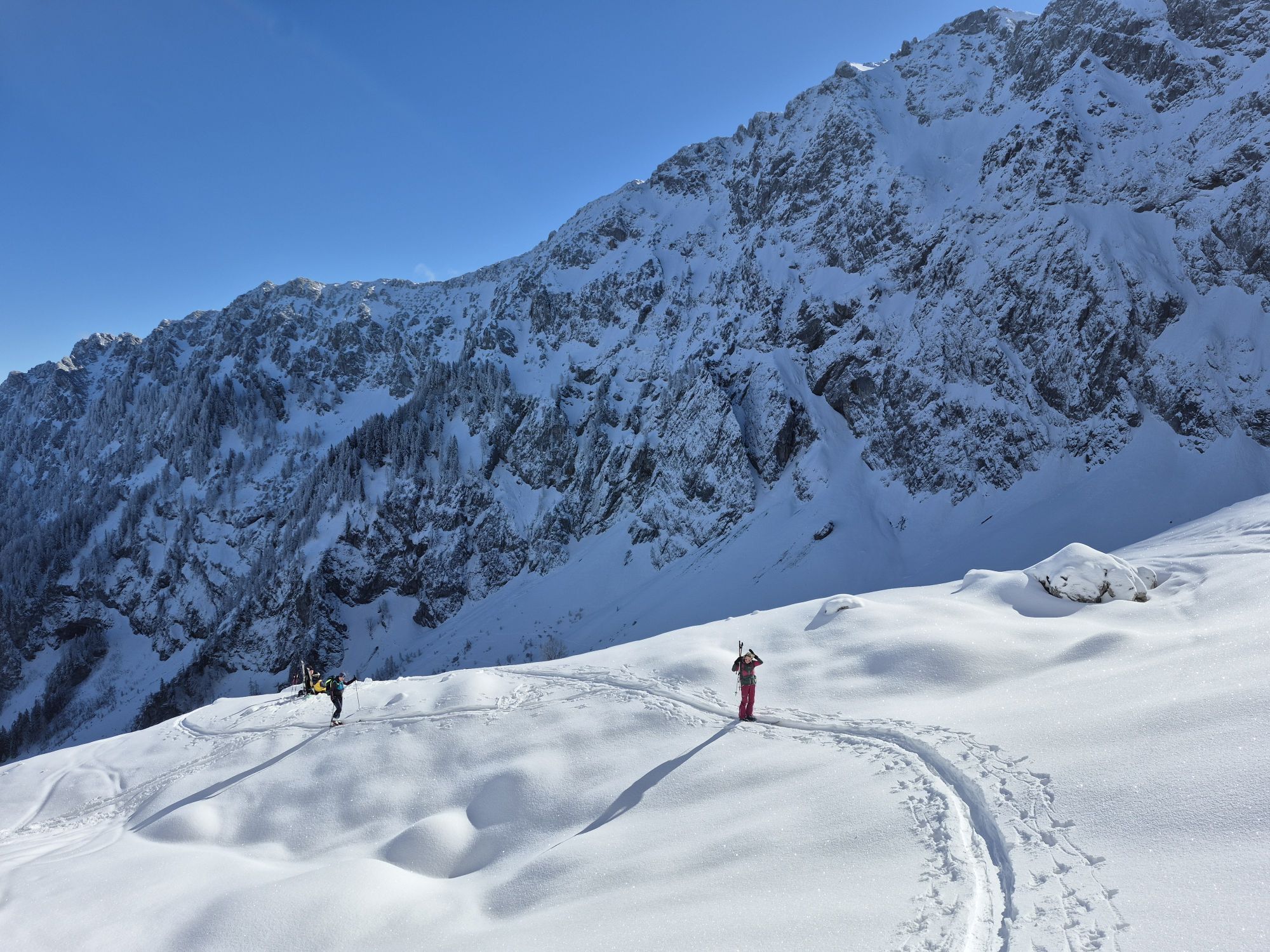
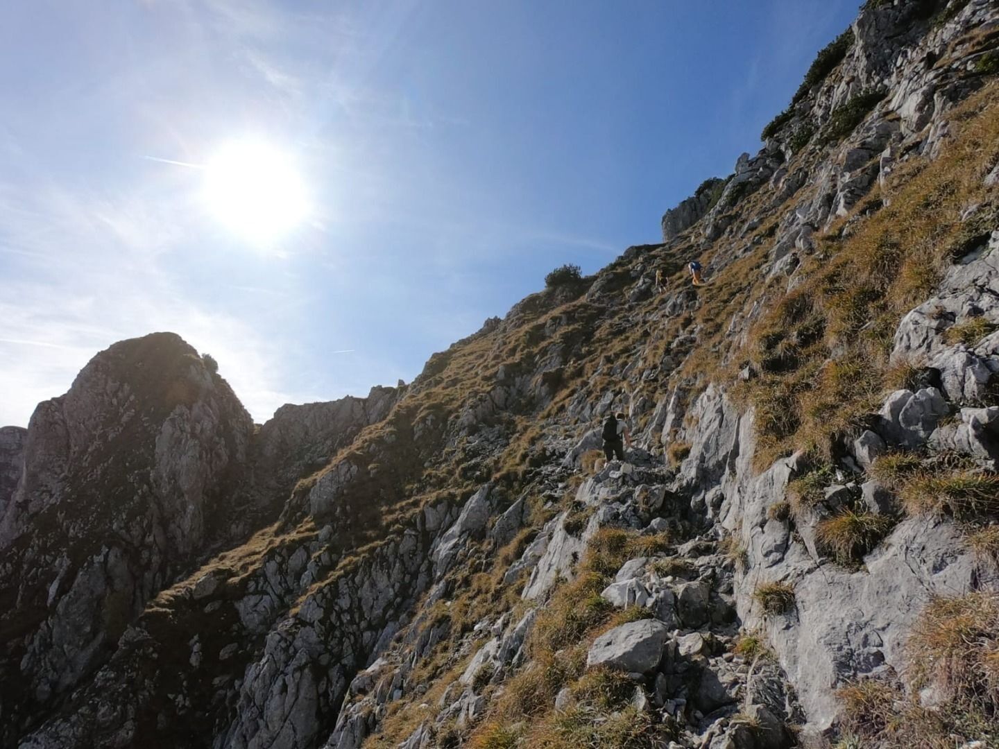
The Pyramidenspitze round tour can be done as a one or two day tour. Starting point is the Aschinger Alm in Ebbs. Directly behind the Alm you follow the signs in the direction of Winklalm/Jovenalm. First you go slightly downhill and then uphill over serpentines about 500 height meters through the forest. Pass the small Jovenalm hut and descend in the direction of Winklkar. At the junction with the forest path, turn right and continue uphill along the path. At the Winklalm, follow the path towards Pyramidenspitze. At first it is a good hiking trail, later it changes into a via ferrata of difficulty level A/B. At difficult points the climb is covered by wire rope insurance.
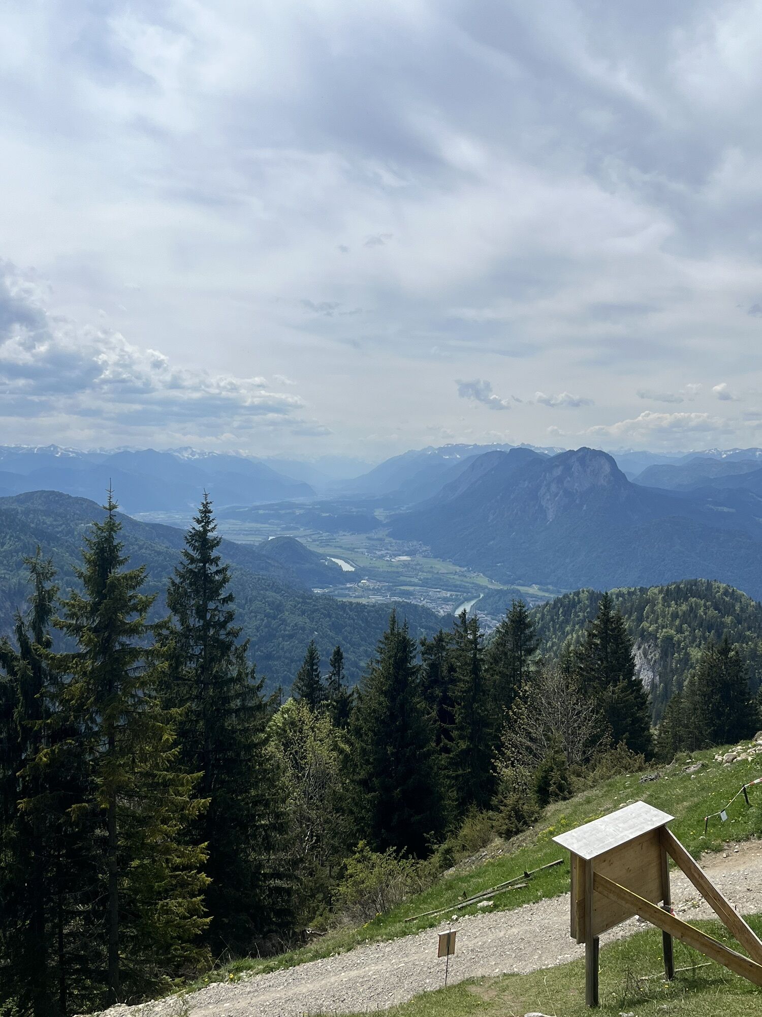
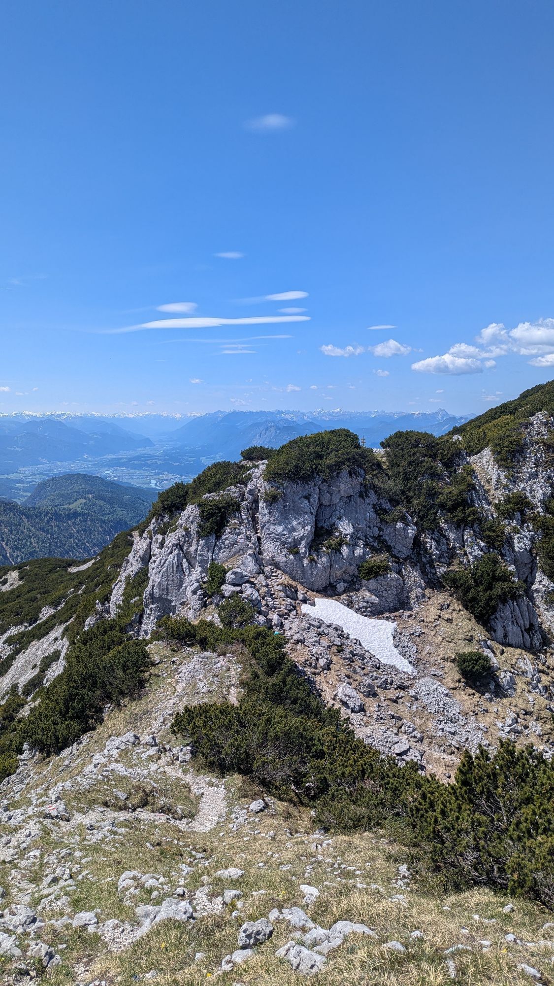
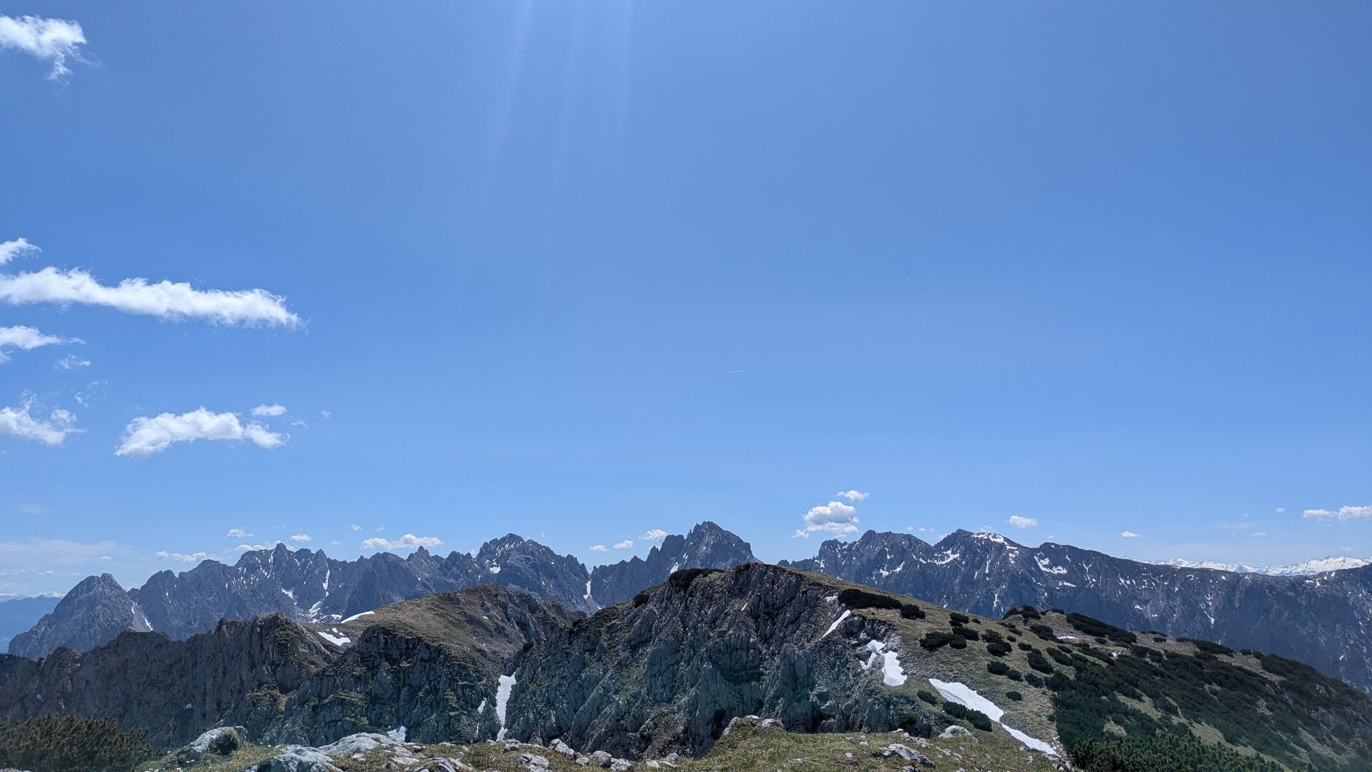
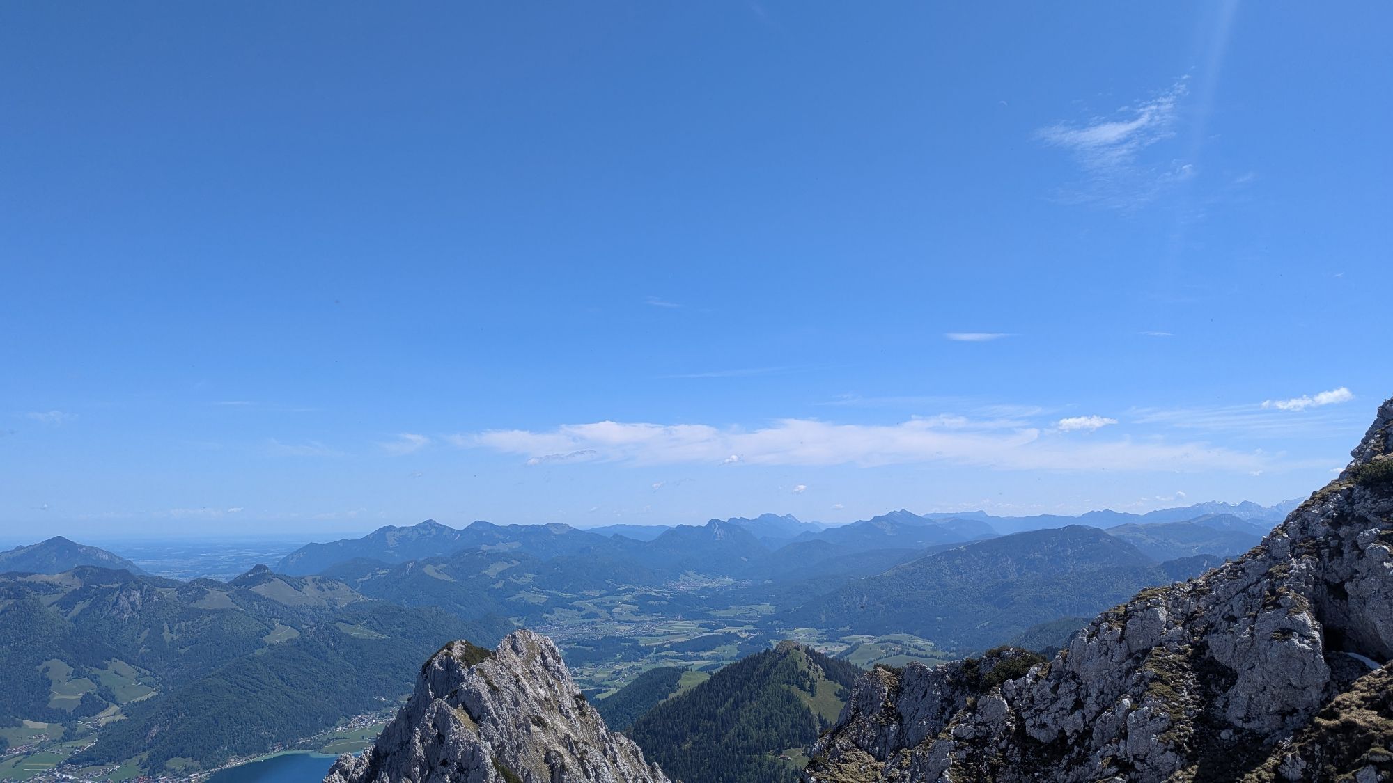
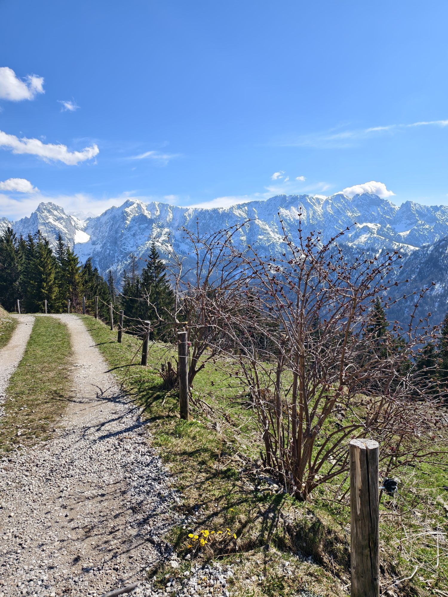
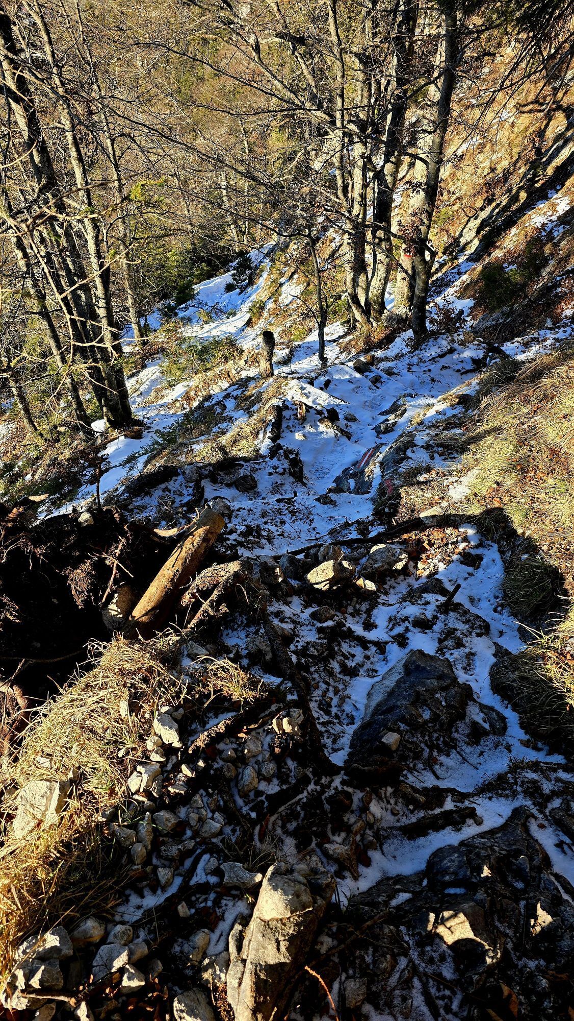
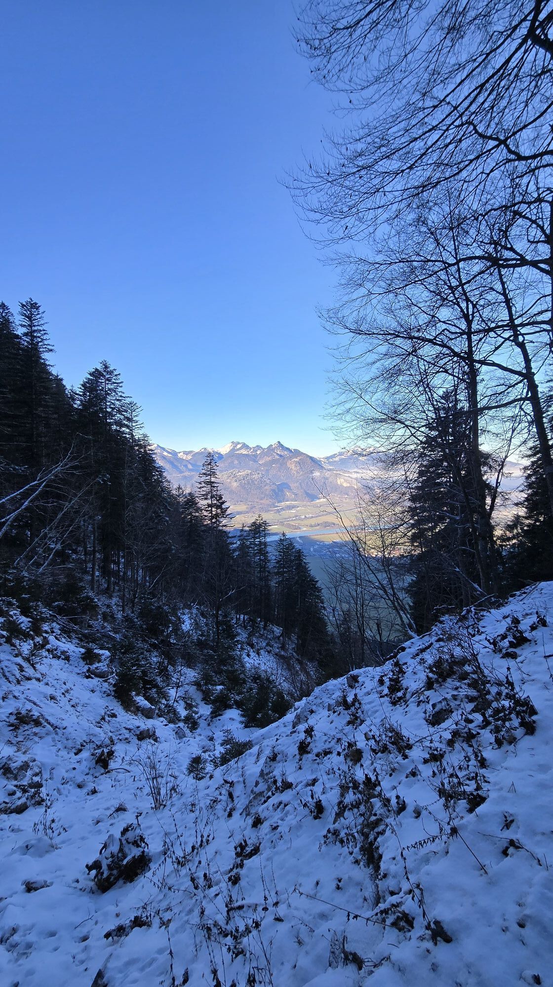
From the top of the Pyramidenspitze the route continues in the direction of Vorderkaiserfeldenhütte. First you walk along the Hochplatteau, through the narrow place "Vogelbad" and at the next crossing downhill through the Steingrubenkar. At the crossroads to the Höhenweg keep right until you reach the Vorderkaiserfeldenhütte, which is also the place to stay overnight.
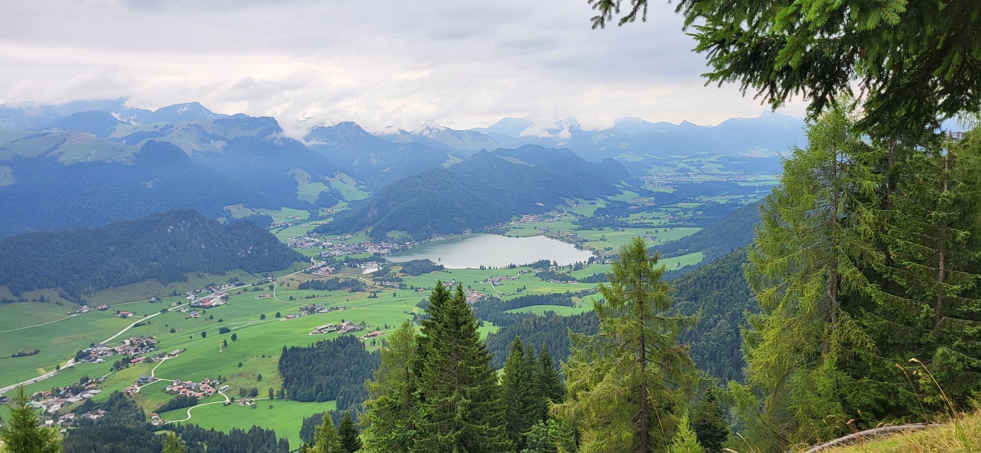
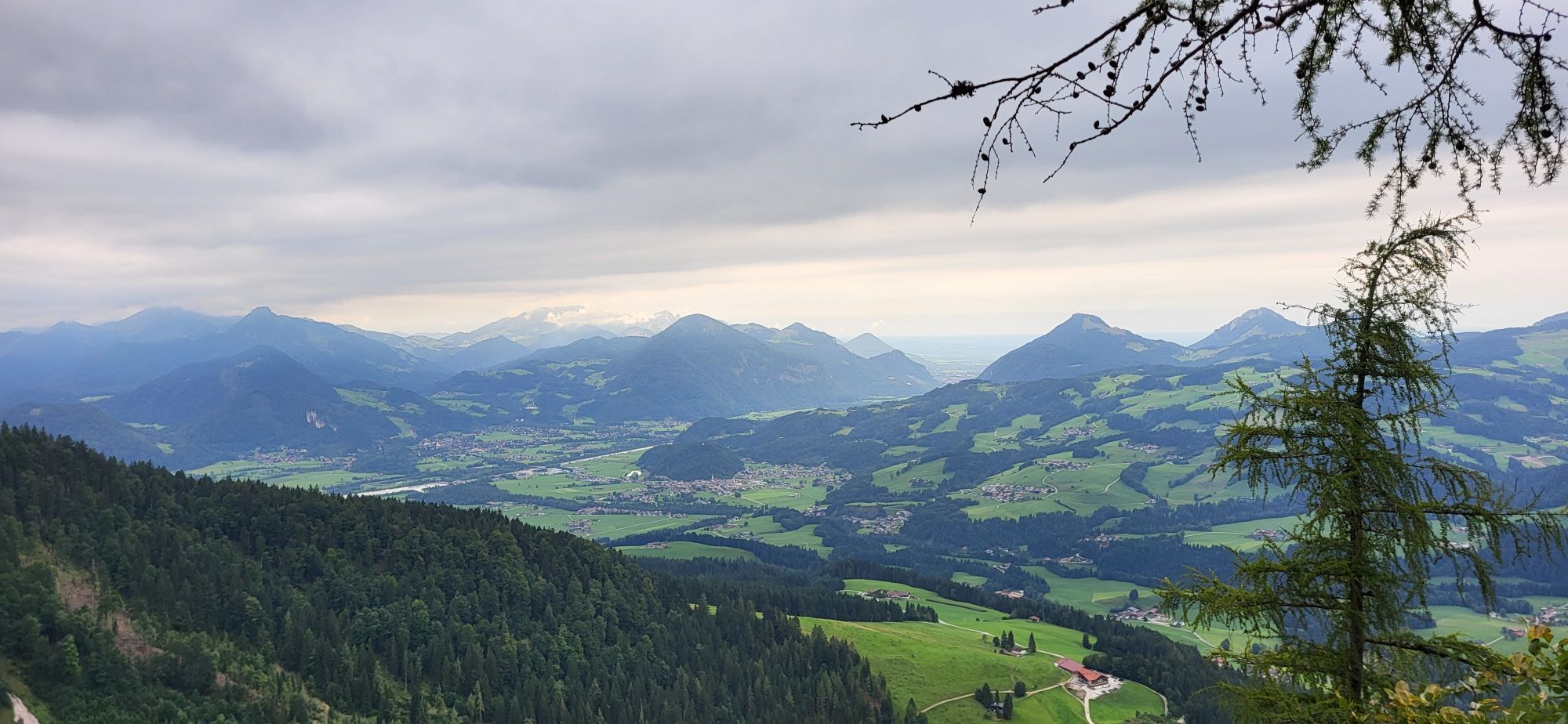
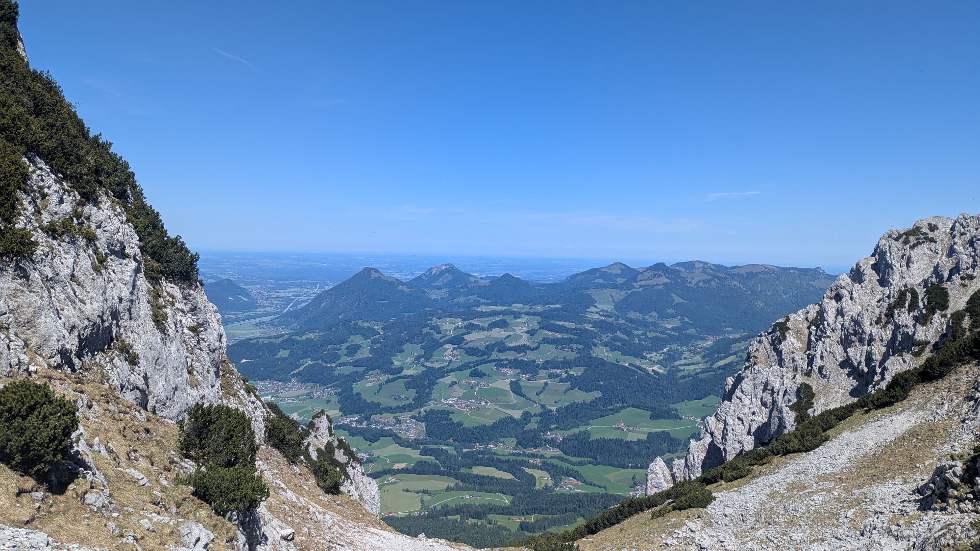
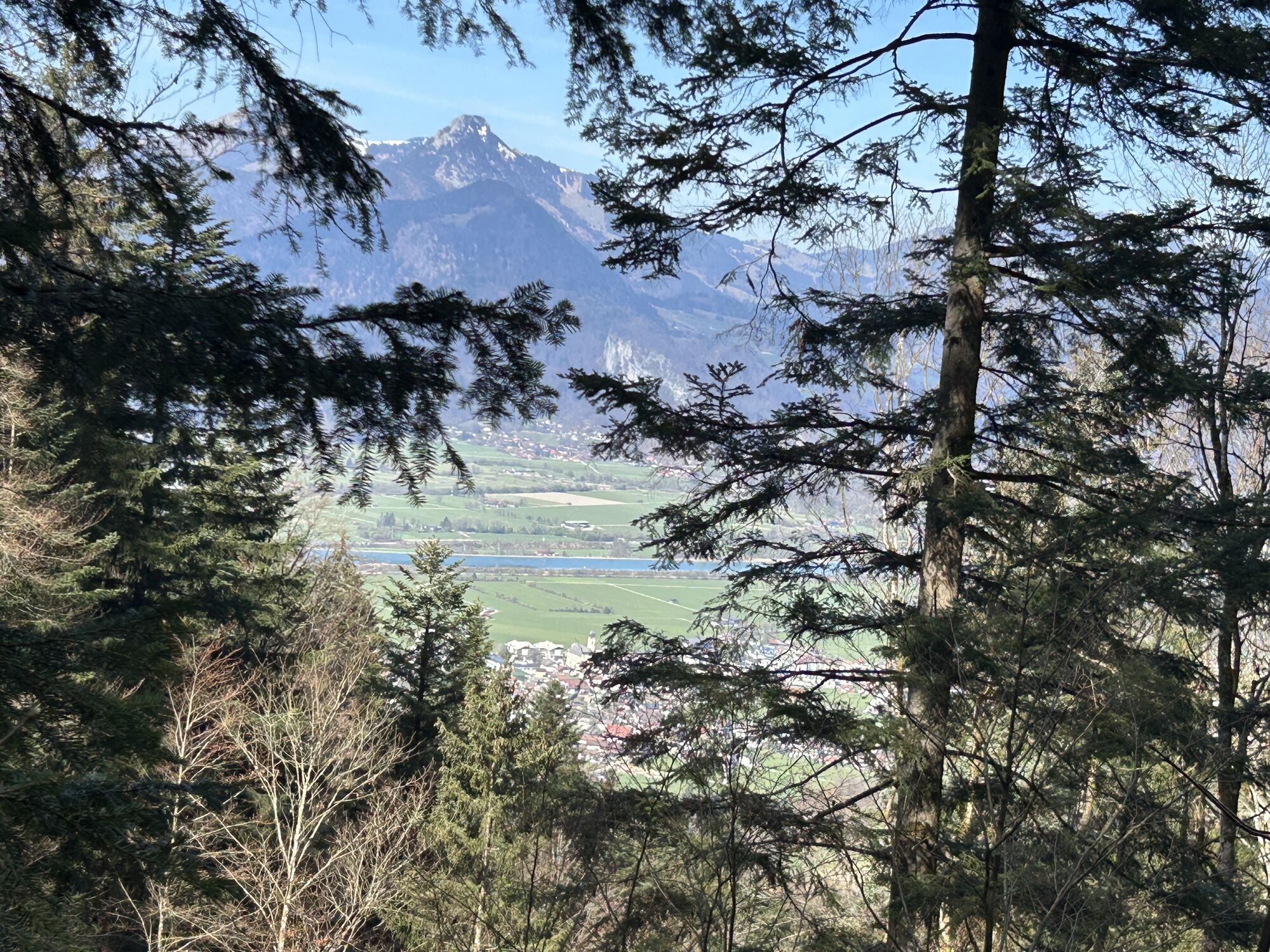
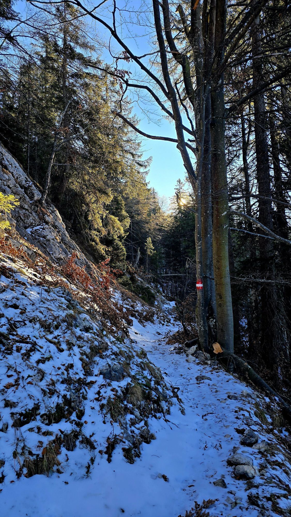
Descend over the Musikantensteig in the direction of Ebbs. After 500 metres of descent you cross a forest path. Follow this path uphill to the right until after two bends a hiking trail branches off to the right. On the hiking path, you first go uphill again for a few metres, then downhill and further downhill on a forest path until you reach the open area in the area of the mountain inn Kölnberg. Follow this path until it joins the asphalt road. Now it's only a few meters uphill to the starting point.
Hiking and safety equipment, good footwear, helmet, via ferrata set at your own discretion (is generally not necessary)
The journey to the Aschinger Alm is possible by car.
With the KufsteinerlandCard within the region bus free of charge.
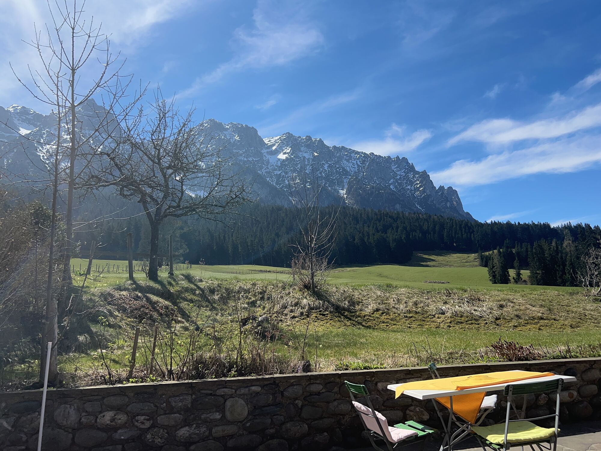
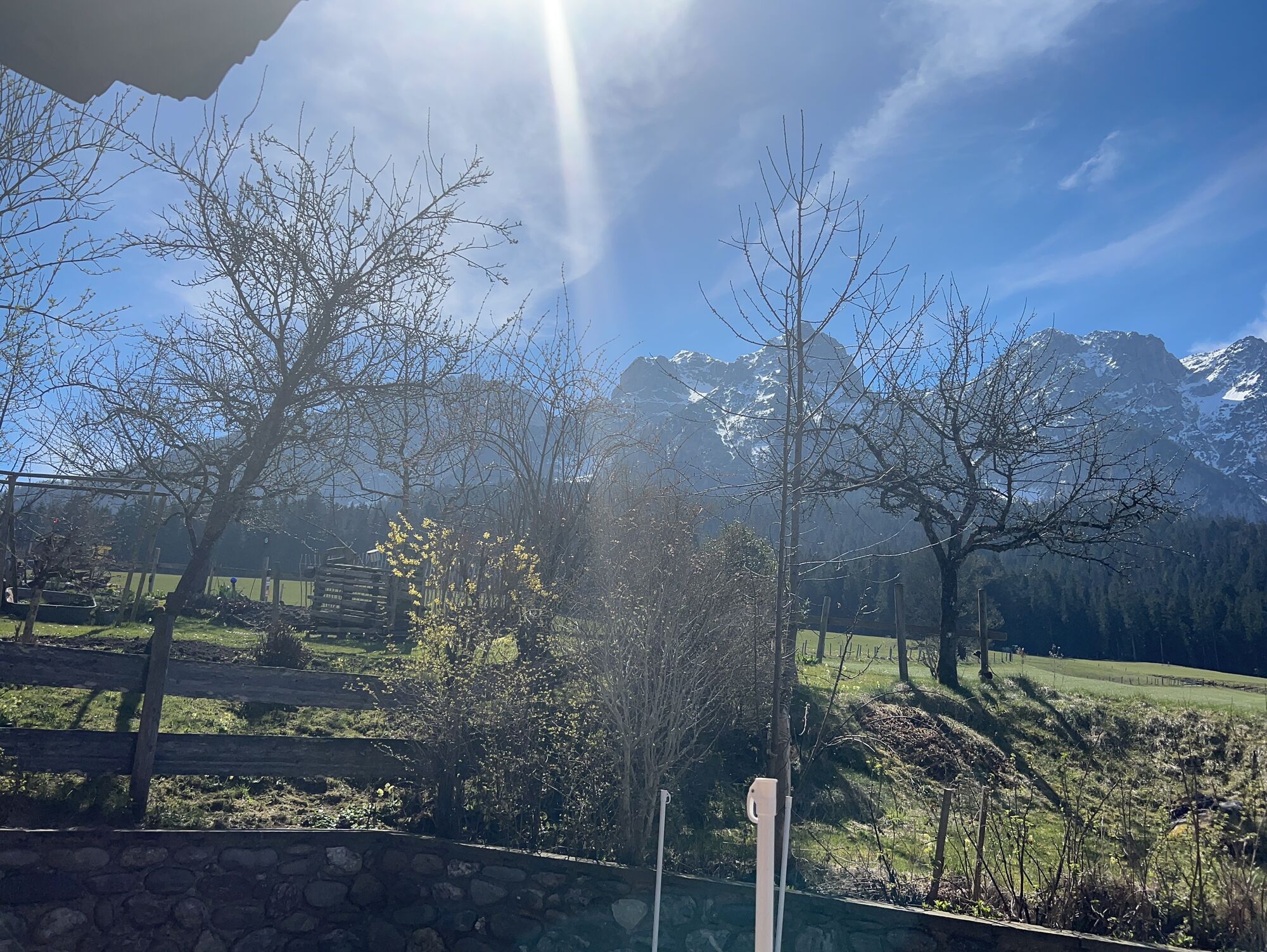
Aschinger Alm
Beliebte Touren in der Nähe
- 4,7
Kirchdorf: Zur geheimnisvollen Teufelsgasse
mittelWanderung 7,90 km - 5,0
Priener Hütte
mittelWanderung 7,99 km - 4,7
Musikantensteig zur Naunspitze
mittelWanderung 8,96 km - 4,6
Geigelstein
mittelWanderung 14,5 km - 4,5
Über Hintersteinersee und Walleralm aufs Hochegg
leichtWanderung 12,2 km - 4,5
Wanderung: Spitzstein und Altkaseralm von Sachrang
mittelWanderung 4,03 km - 4,5
Wanderung um den Hintersteinersee
leichtWanderung 5,29 km - 4,6
Hintersteinersee
mittelWanderung 9,87 km - 5,0
Stripsenjoch Klettersteige/ Rundwanderung von Griesener Alm über Stripsenjochhaus und Feldberg
mittelKlettersteig 10,2 km - 4,5
Samerberg - Hochries
mittelWanderung 8,97 km

Wandern & Tracking


Verpasse keine Angebote und Inspirationen für deinen nächsten Urlaub
Deine E-Mail-Adresse wurde in den Verteiler eingetragen.