


Sunny side hikingtour Kaiser valley


This day walk leads up the 280 steps of the Kaiseraufstieg to what was in 2016 selected as the most beautiful place in Austria – the Kaisertal. After the steep ascent either Ritzau Alm or Vorderkaiserfelden...
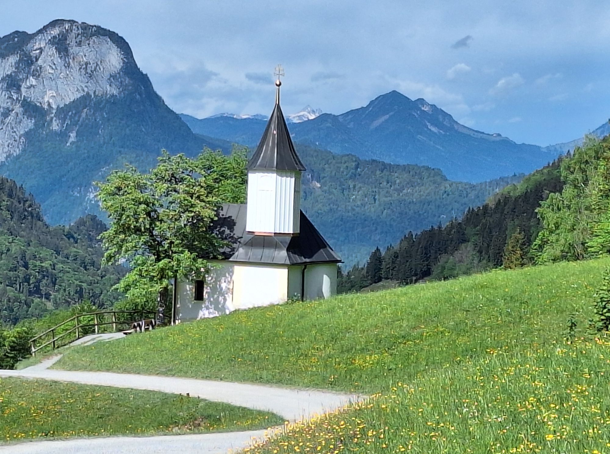
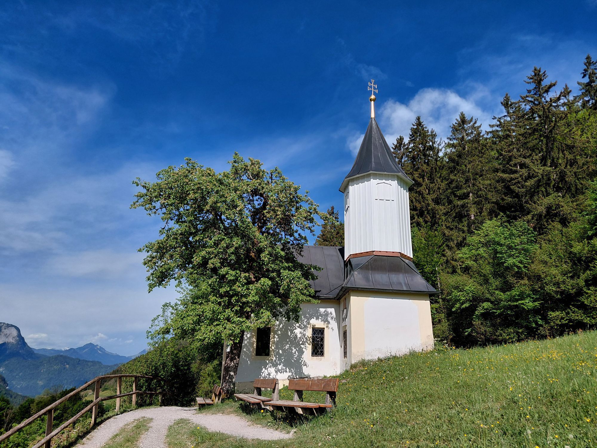
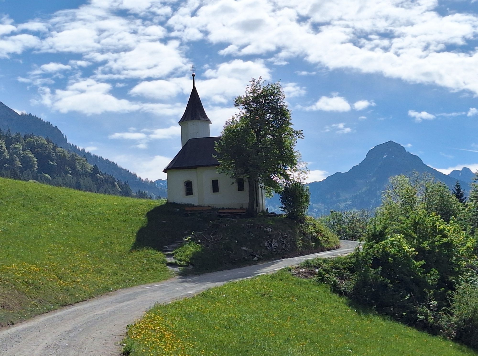
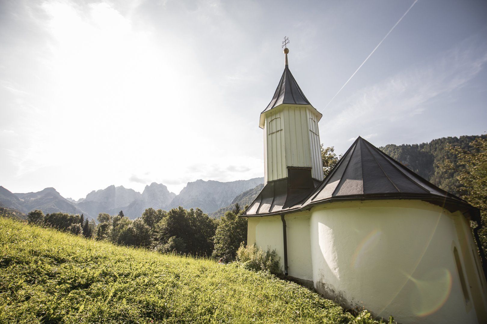
This day walk leads up the 280 steps of the Kaiseraufstieg to what was in 2016 selected as the most beautiful place in Austria – the Kaisertal. After the steep ascent either Ritzau Alm or Vorderkaiserfelden offer tasty snacks. On the way back, via Antonius chapel, there are four more refreshment options with tasty offers.
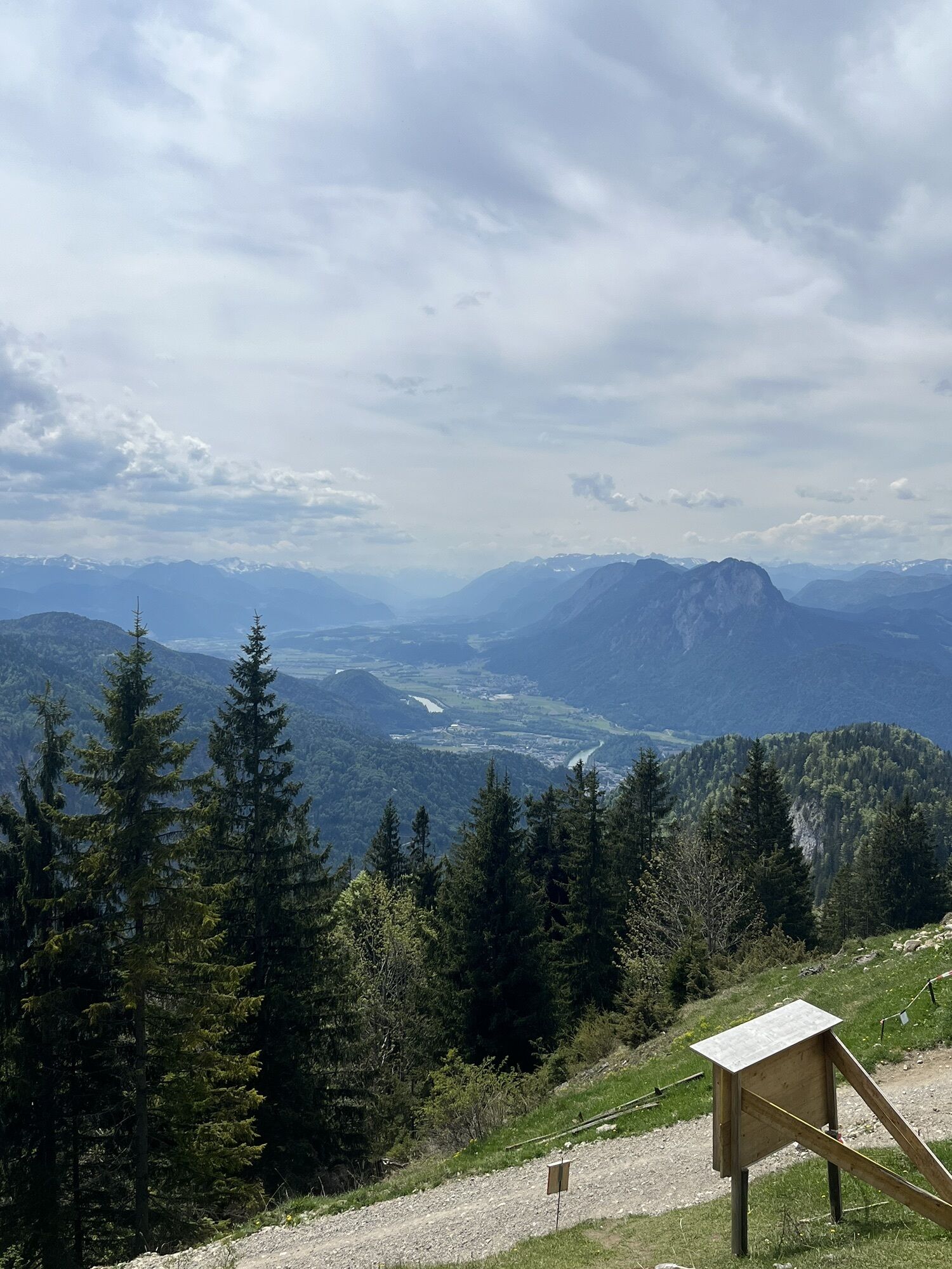
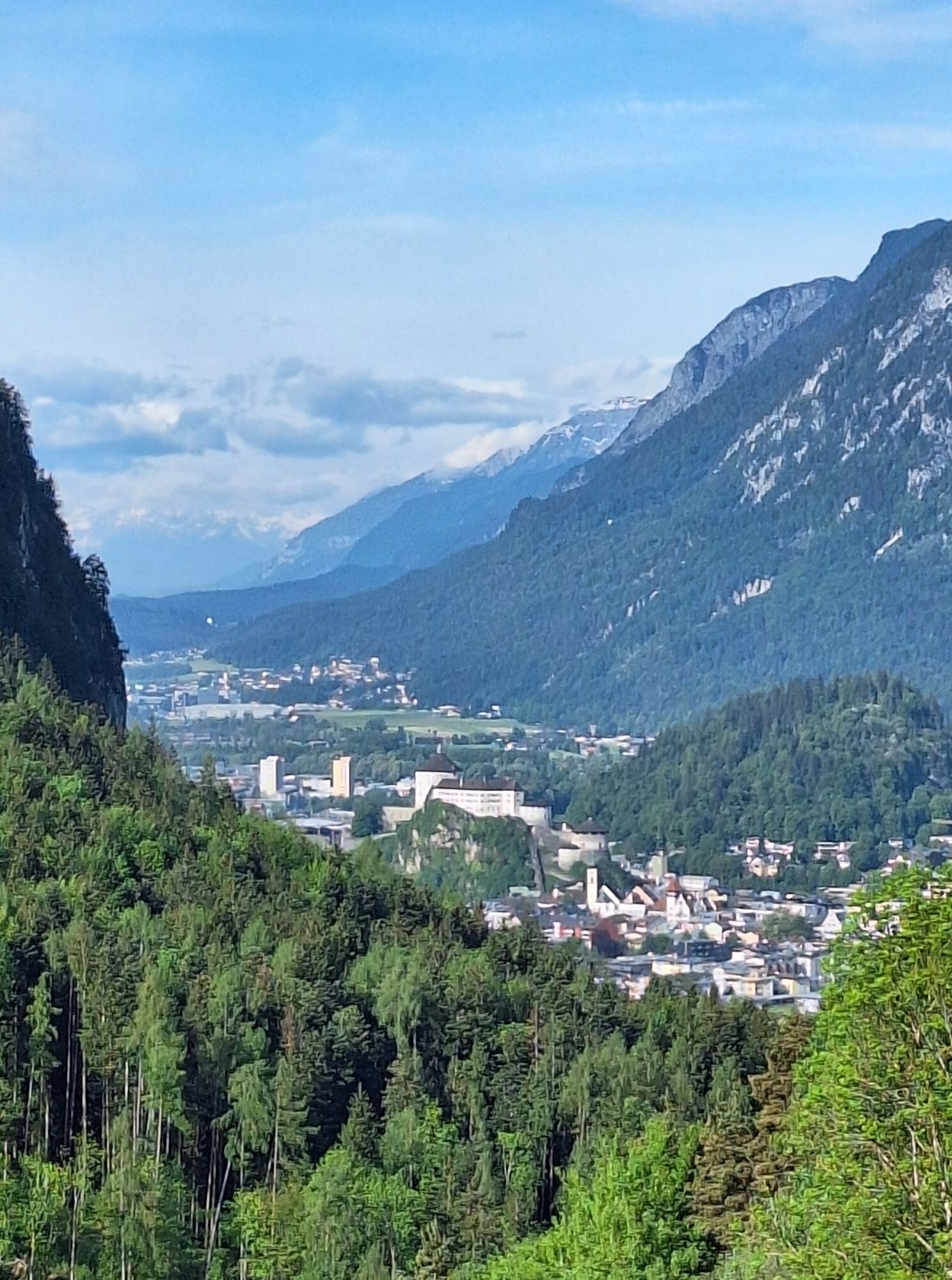
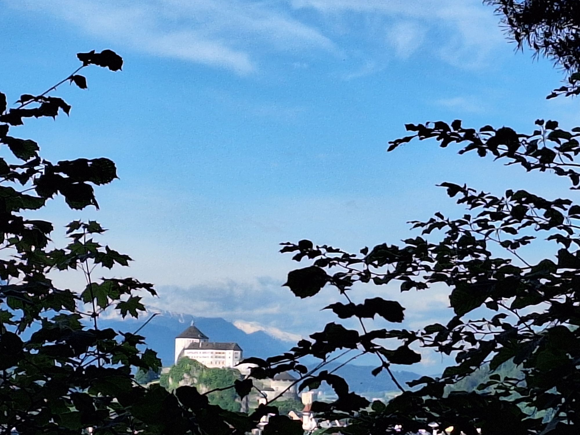
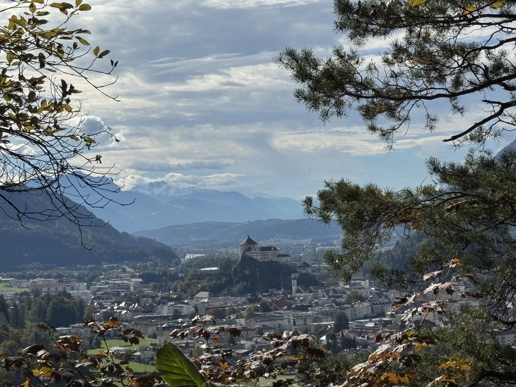
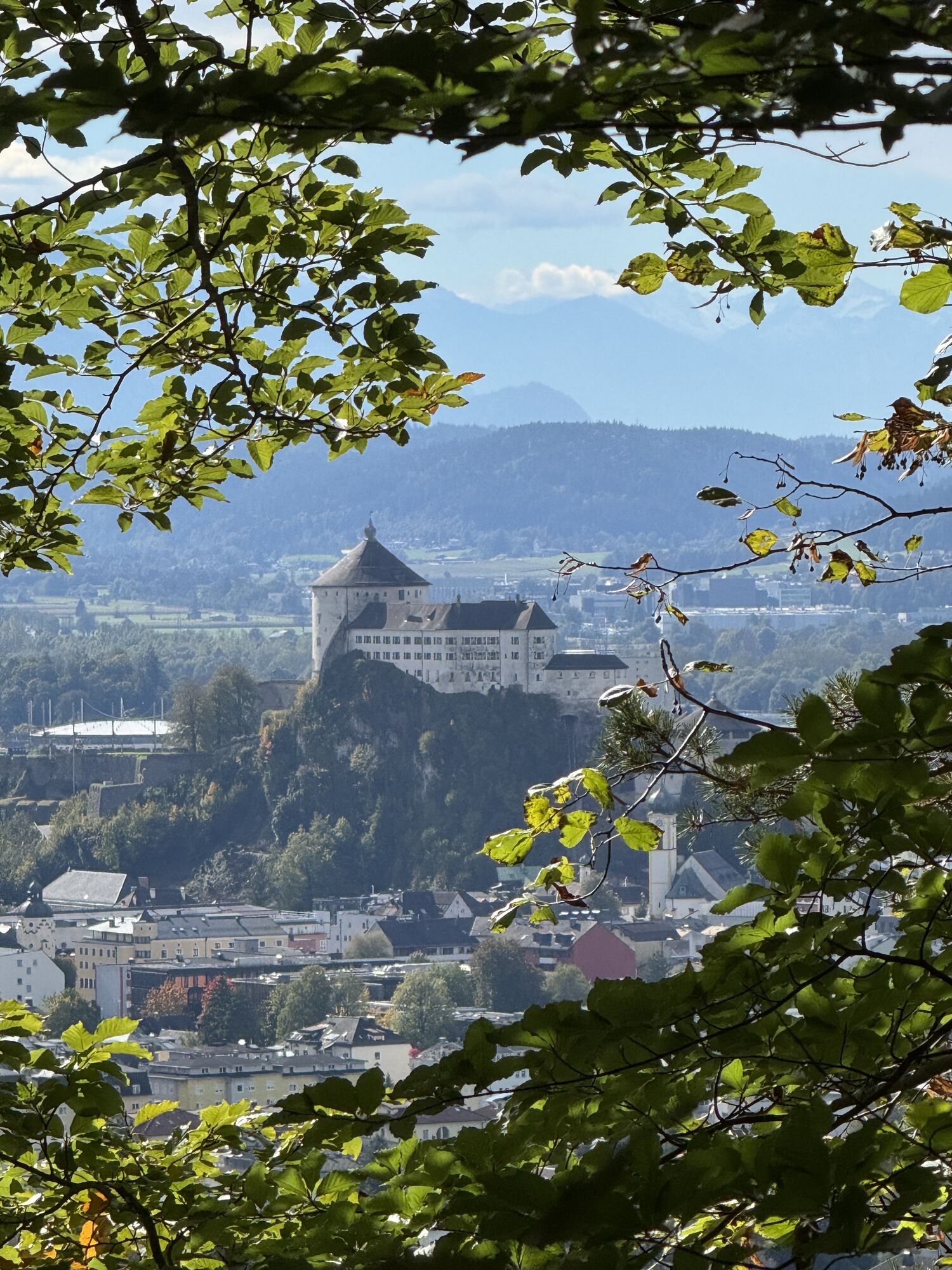
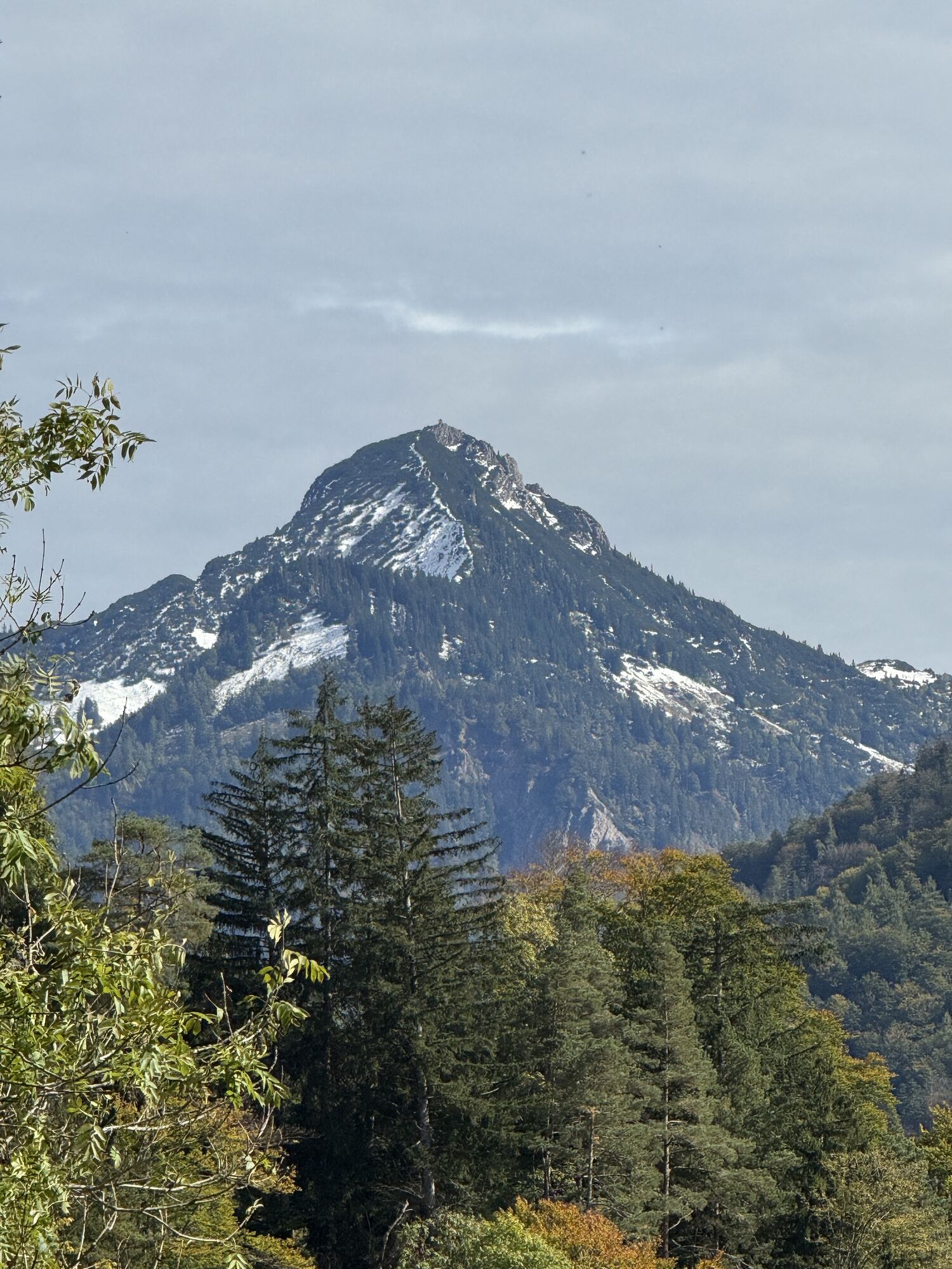
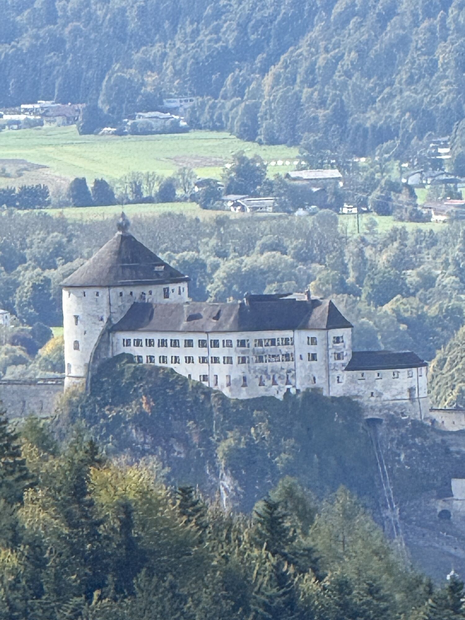
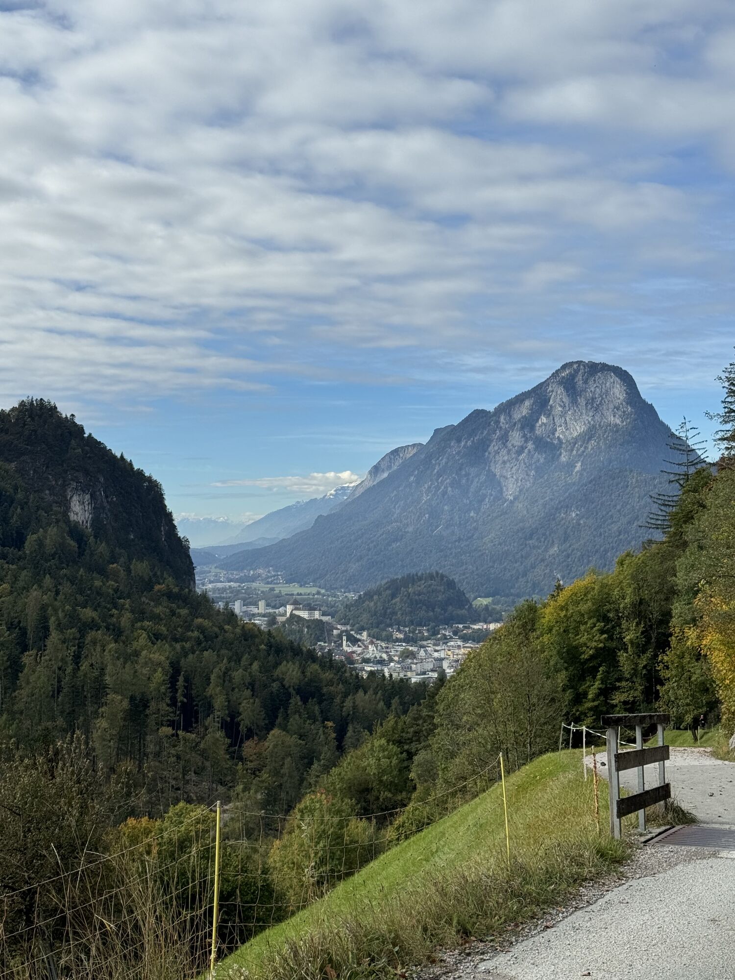
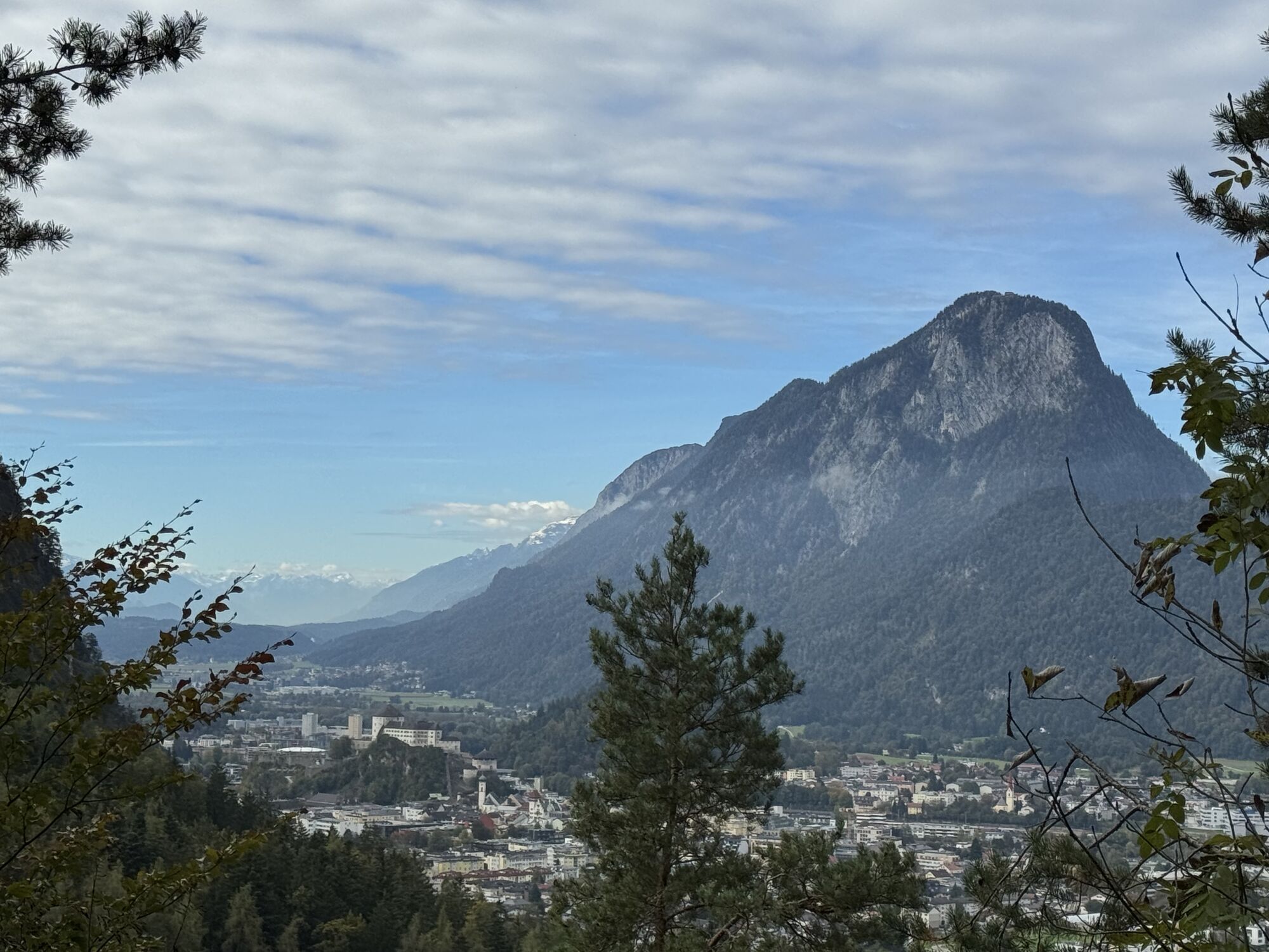
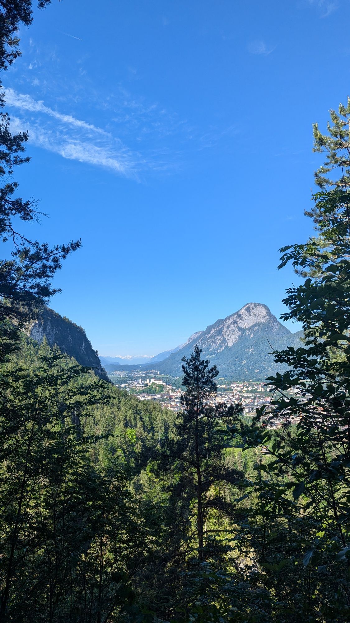
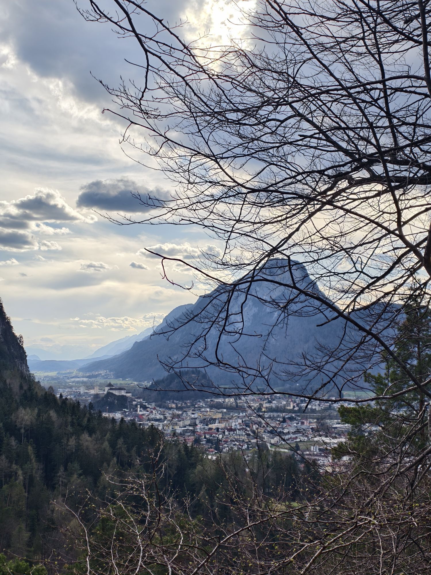
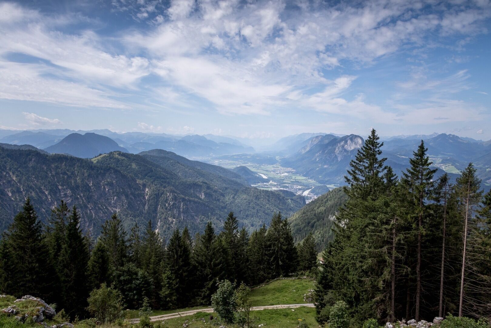
The "Kaisertalaufstieg" starts in Ebbs-Eichelwang. After about 280 steps and an elevation difference of 110m you reach a short flat passage to take a breath. While hiking up the steps you get rewarded with breathtaking views at the city Kufstein, the fortress and the Pendling mountain.
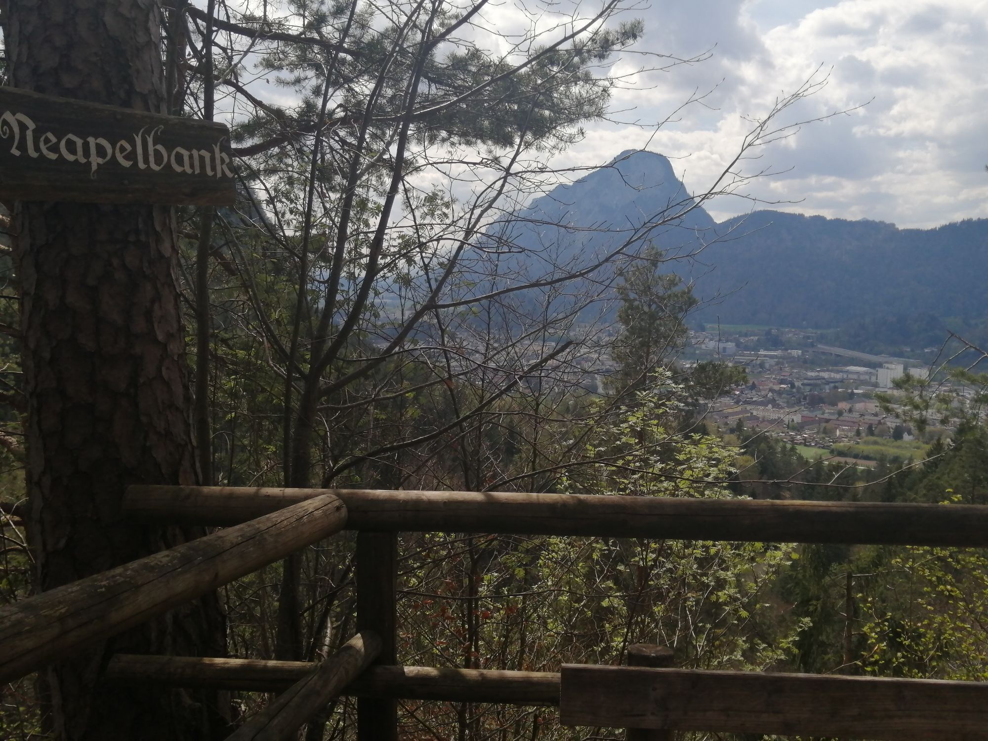
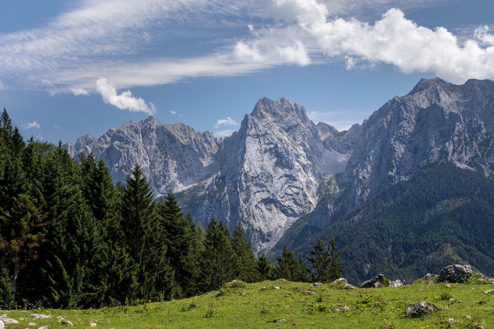
The following short steep ascent changes into a slightly ascending route and at a turn you'll find the "Neapelbank" with the possibility to take a short rest with the view at the city and the Pendling behind.
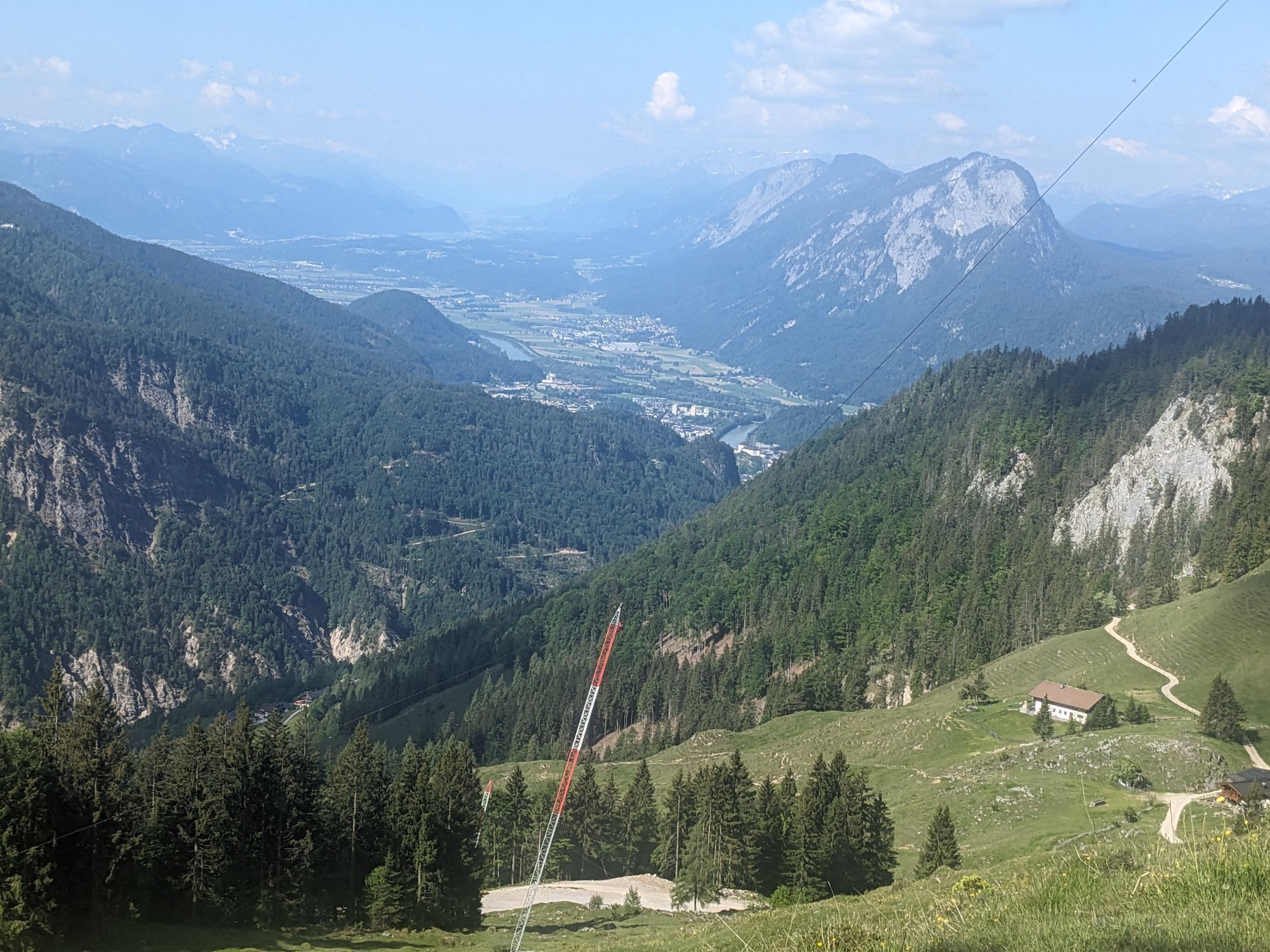
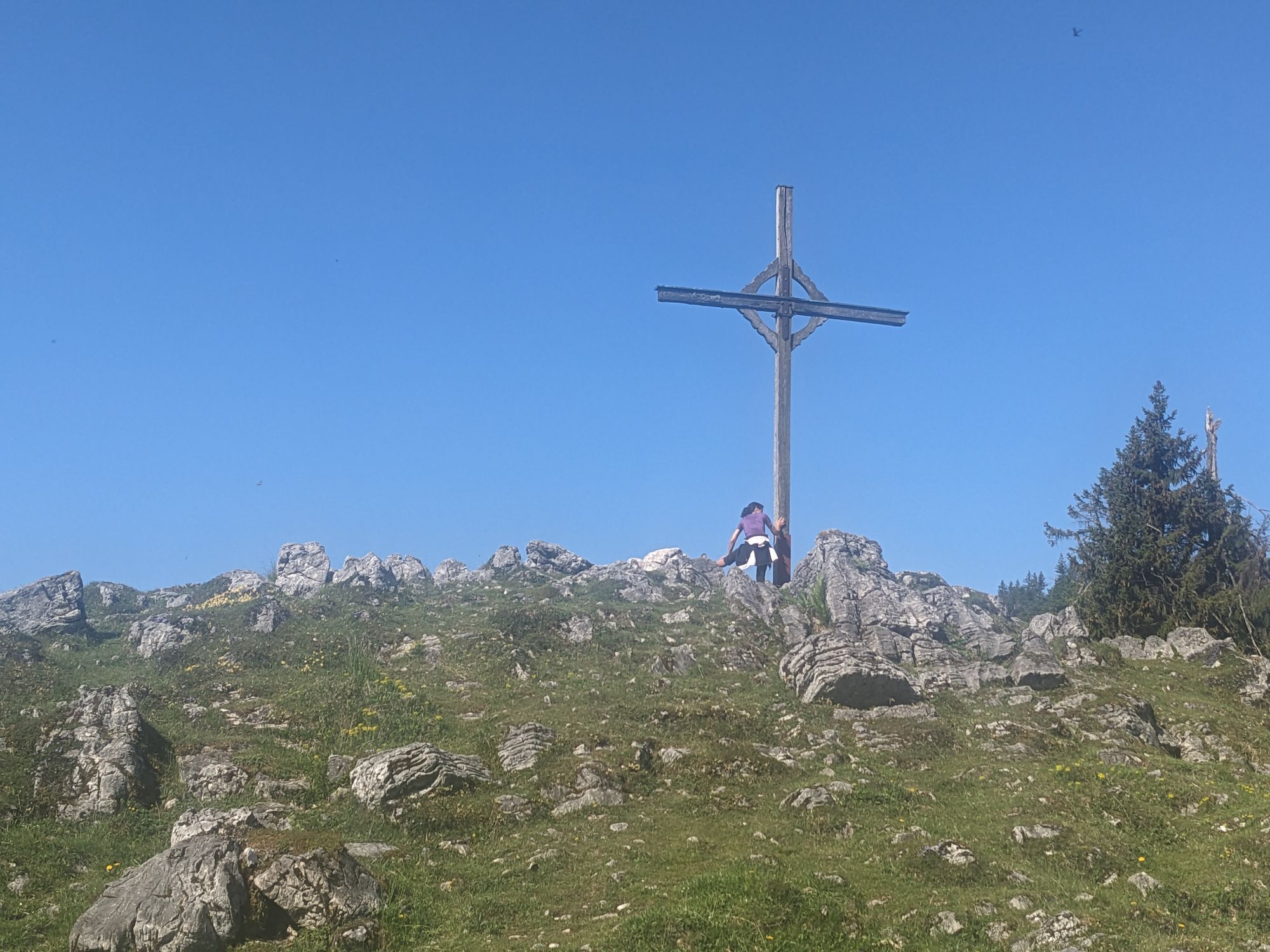
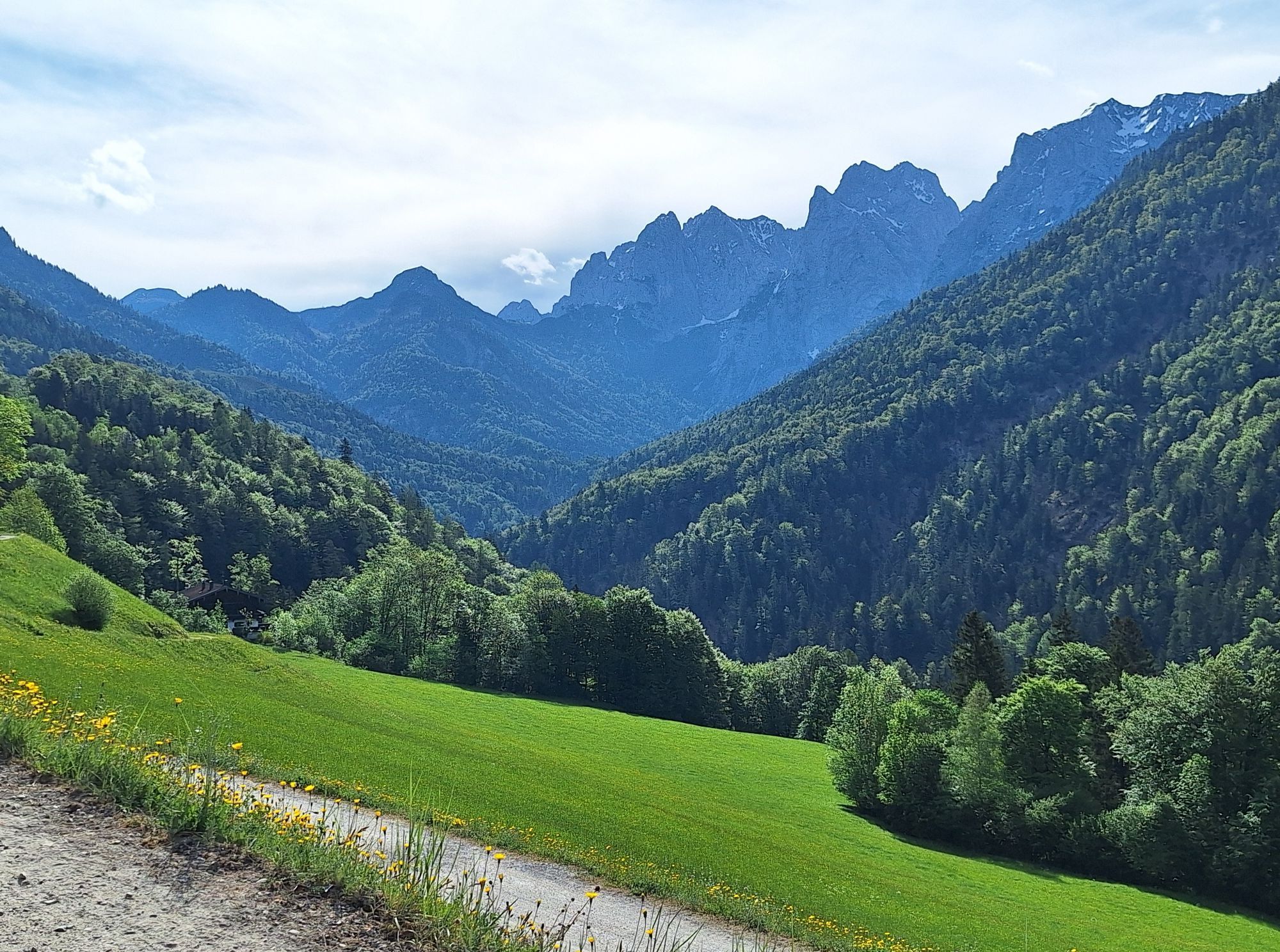
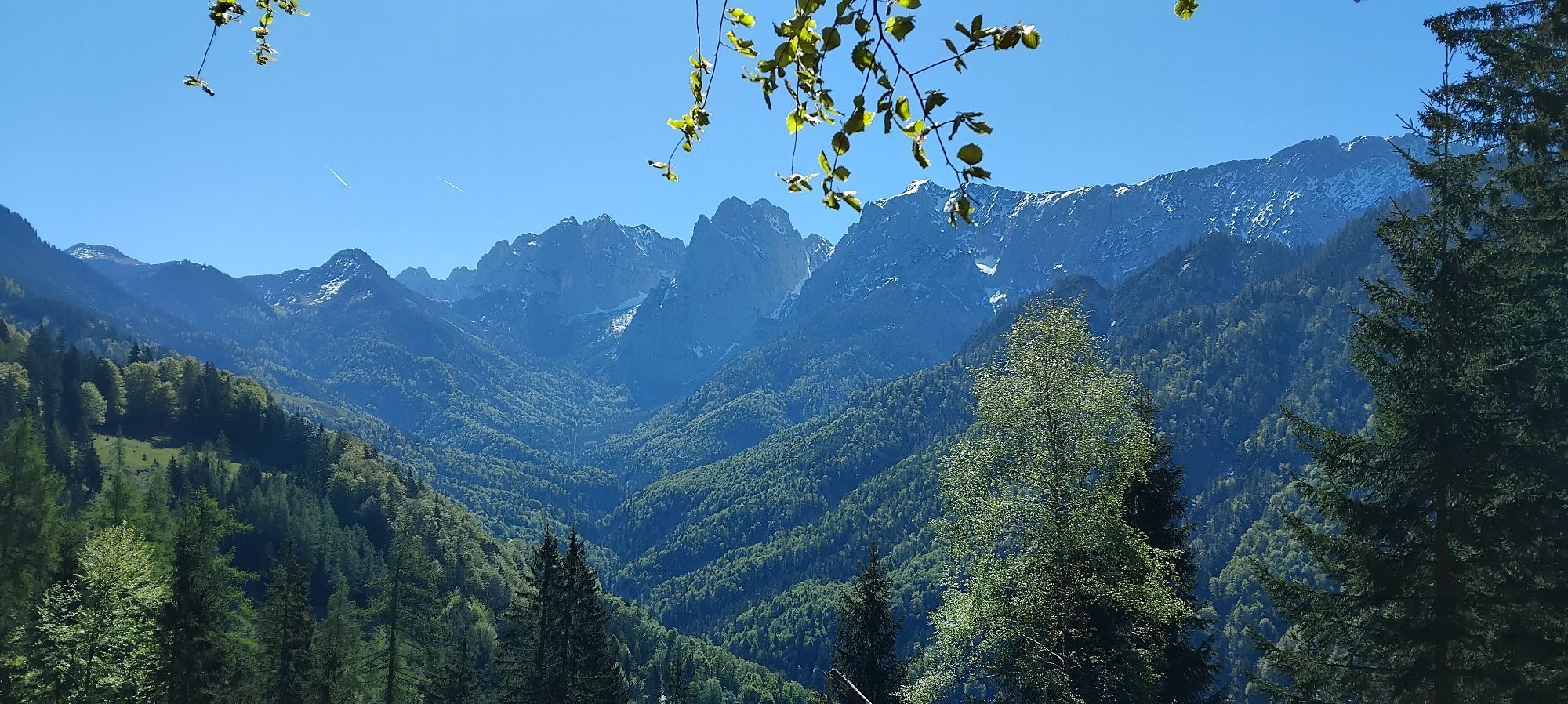
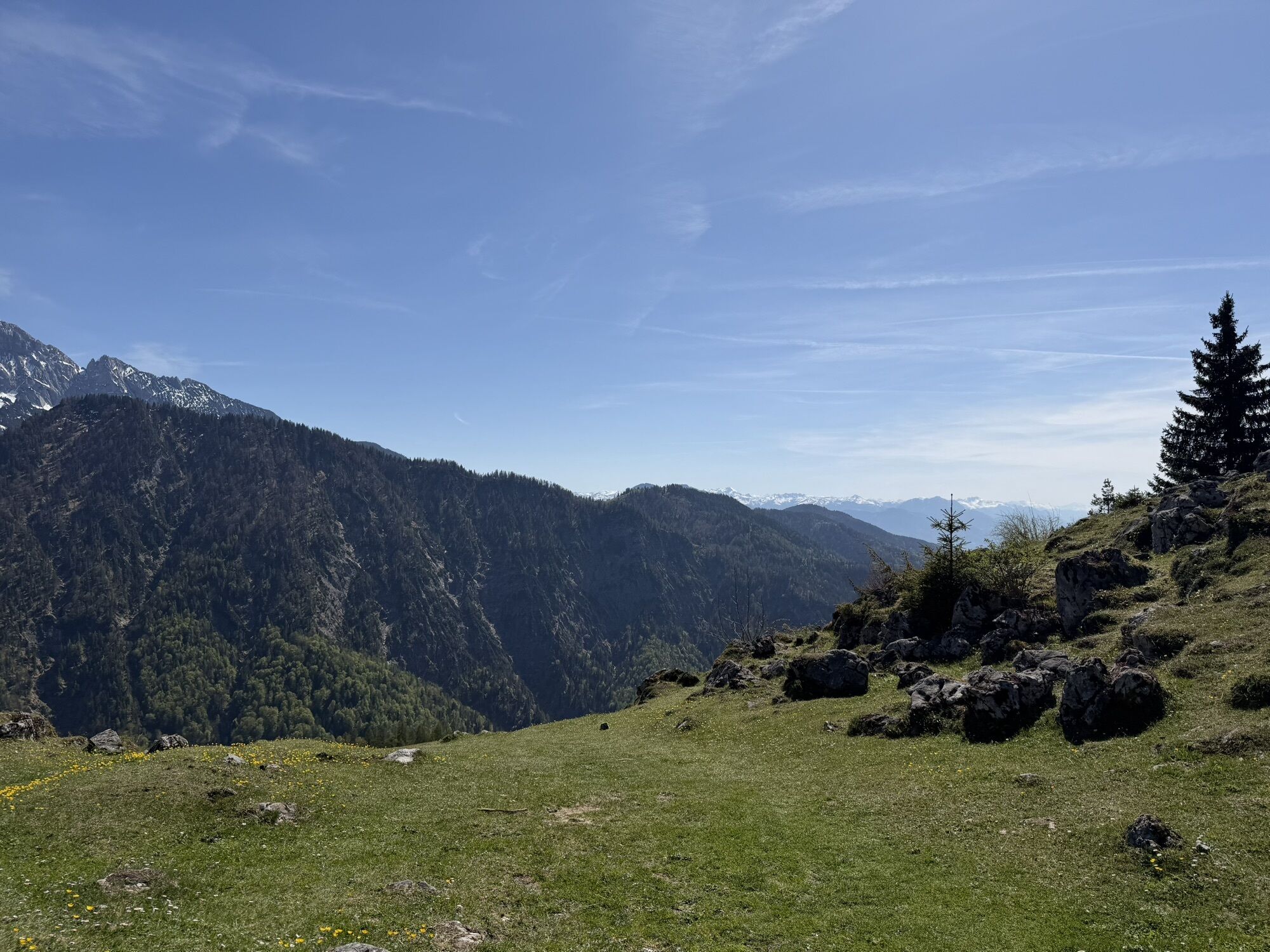
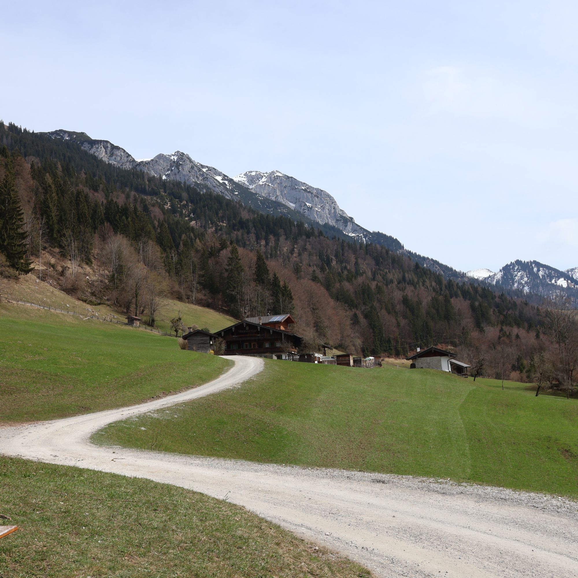
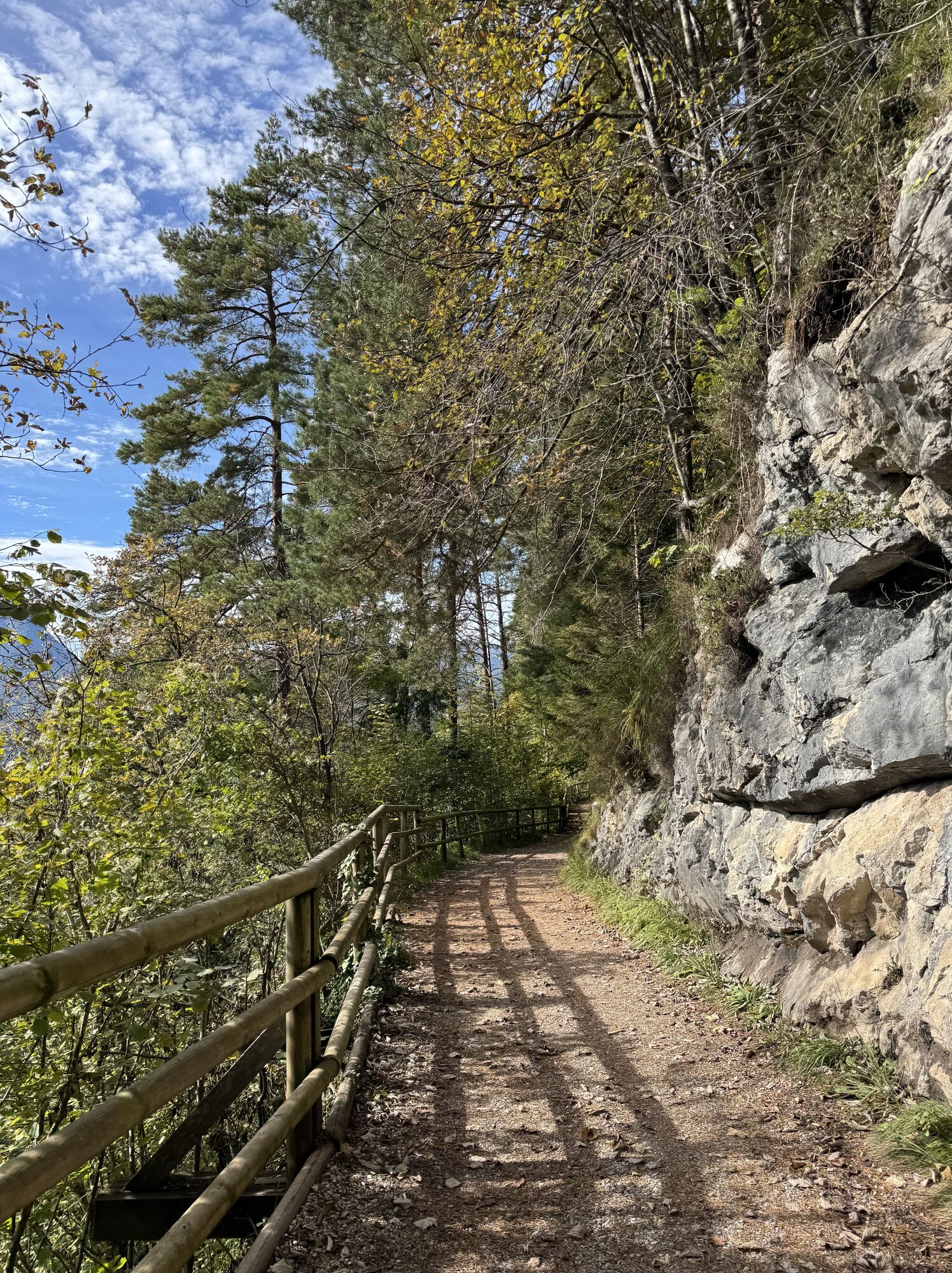
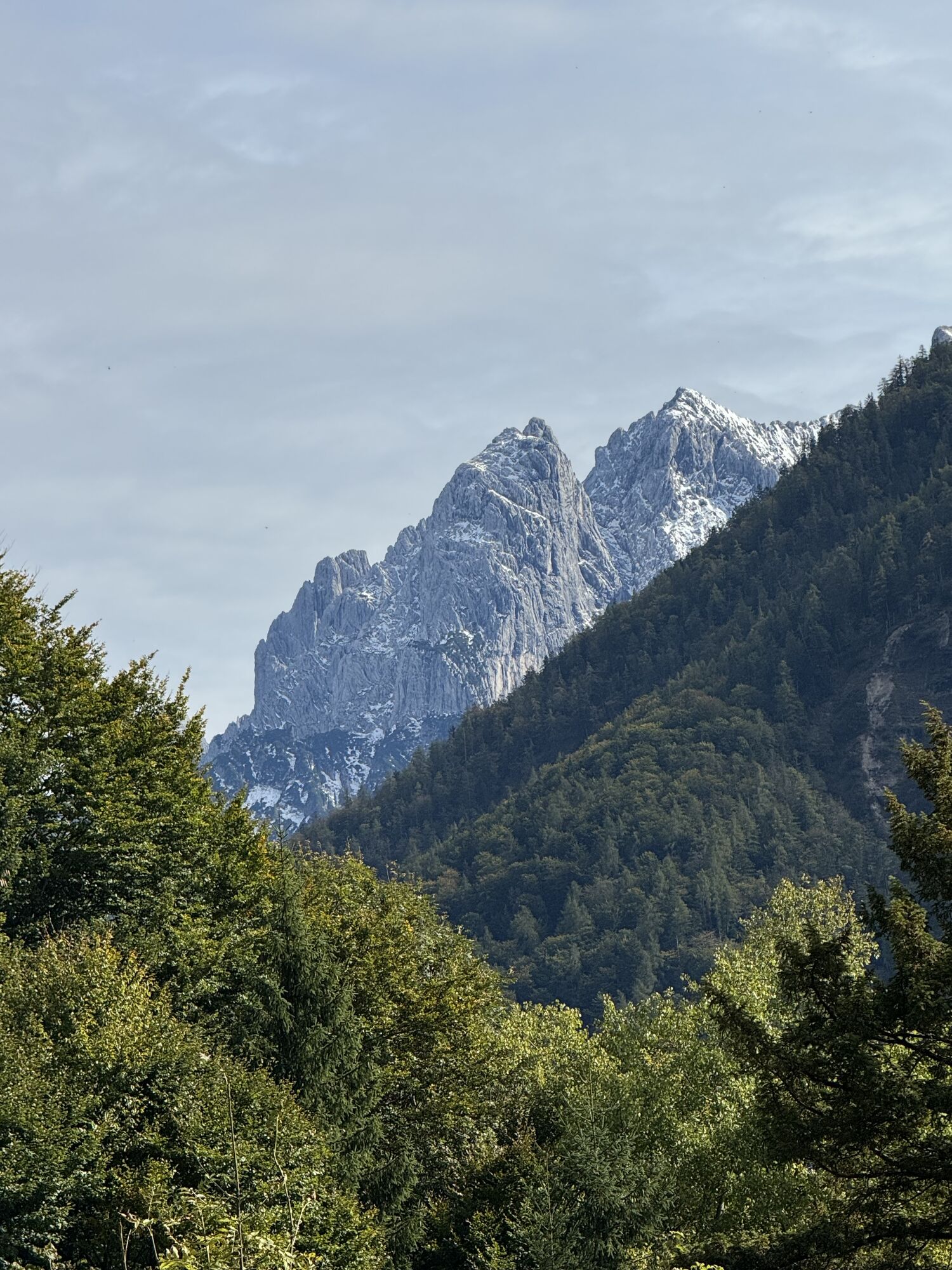
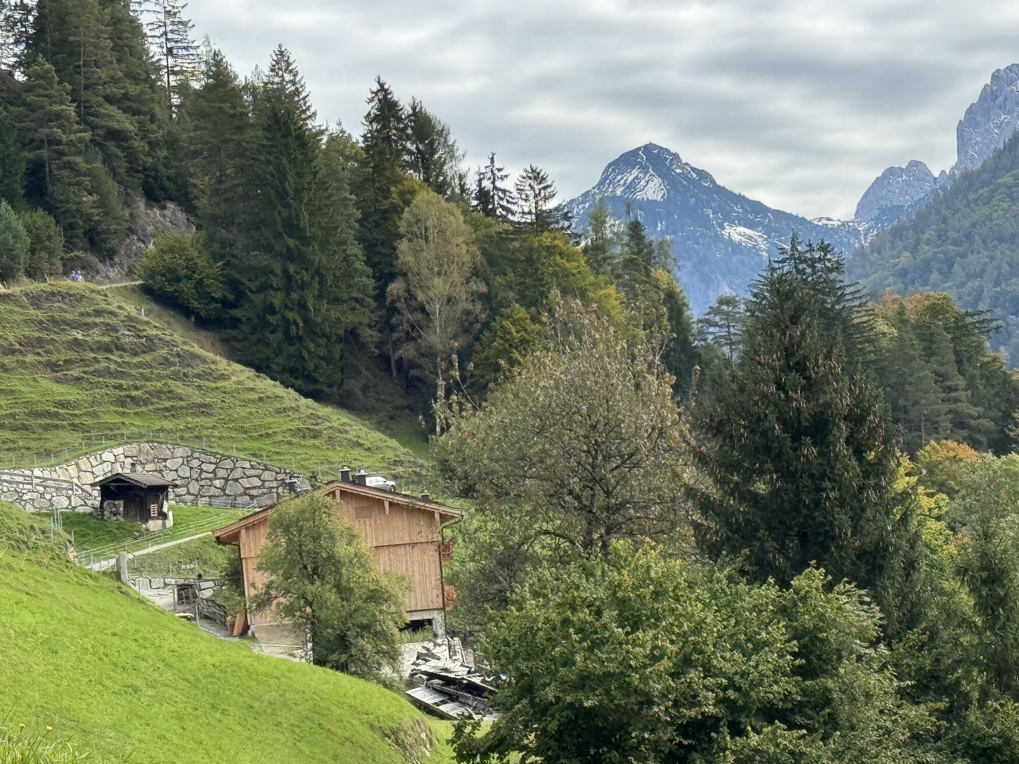
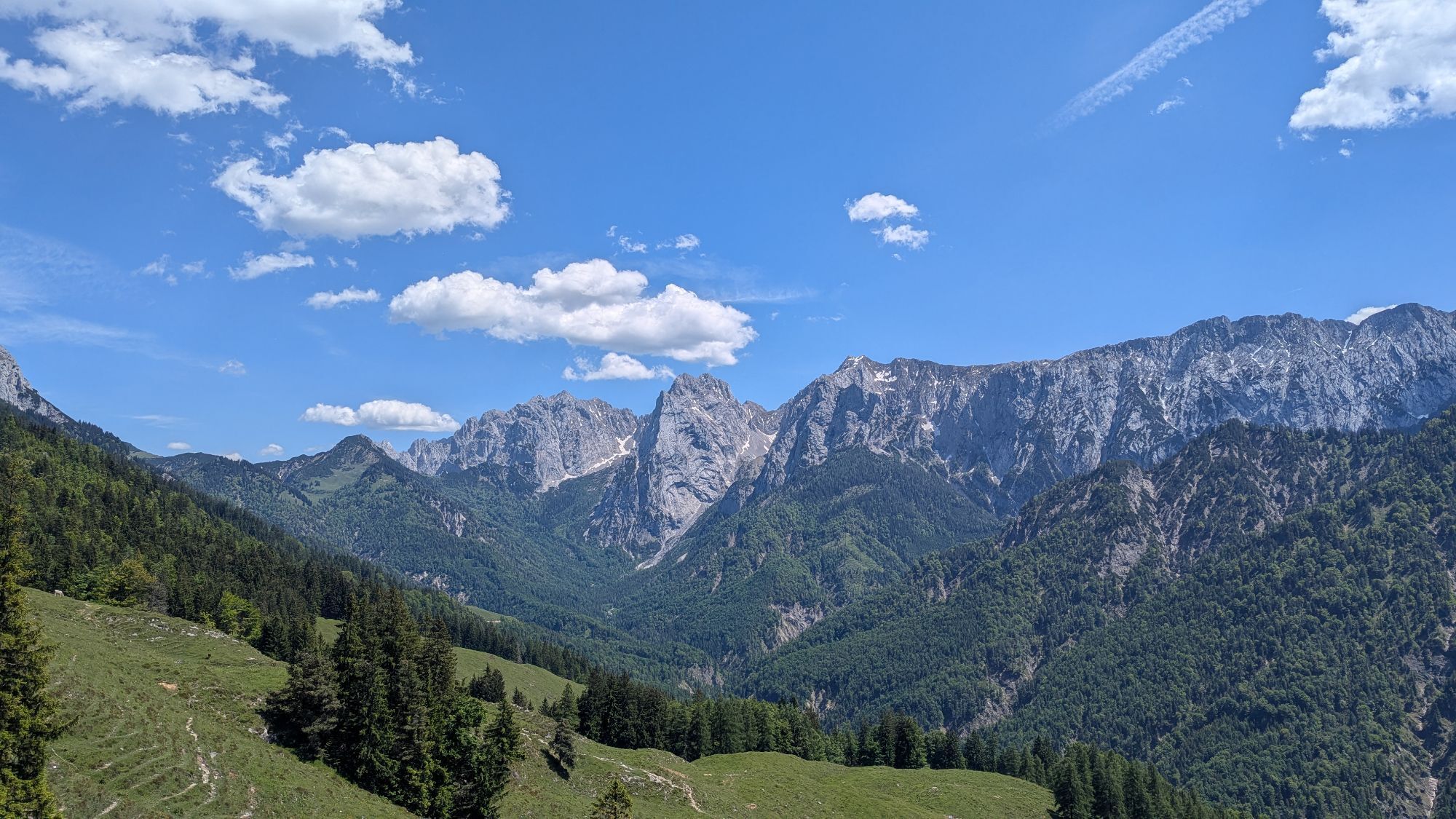
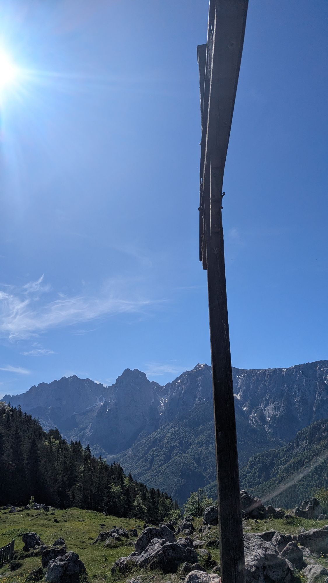
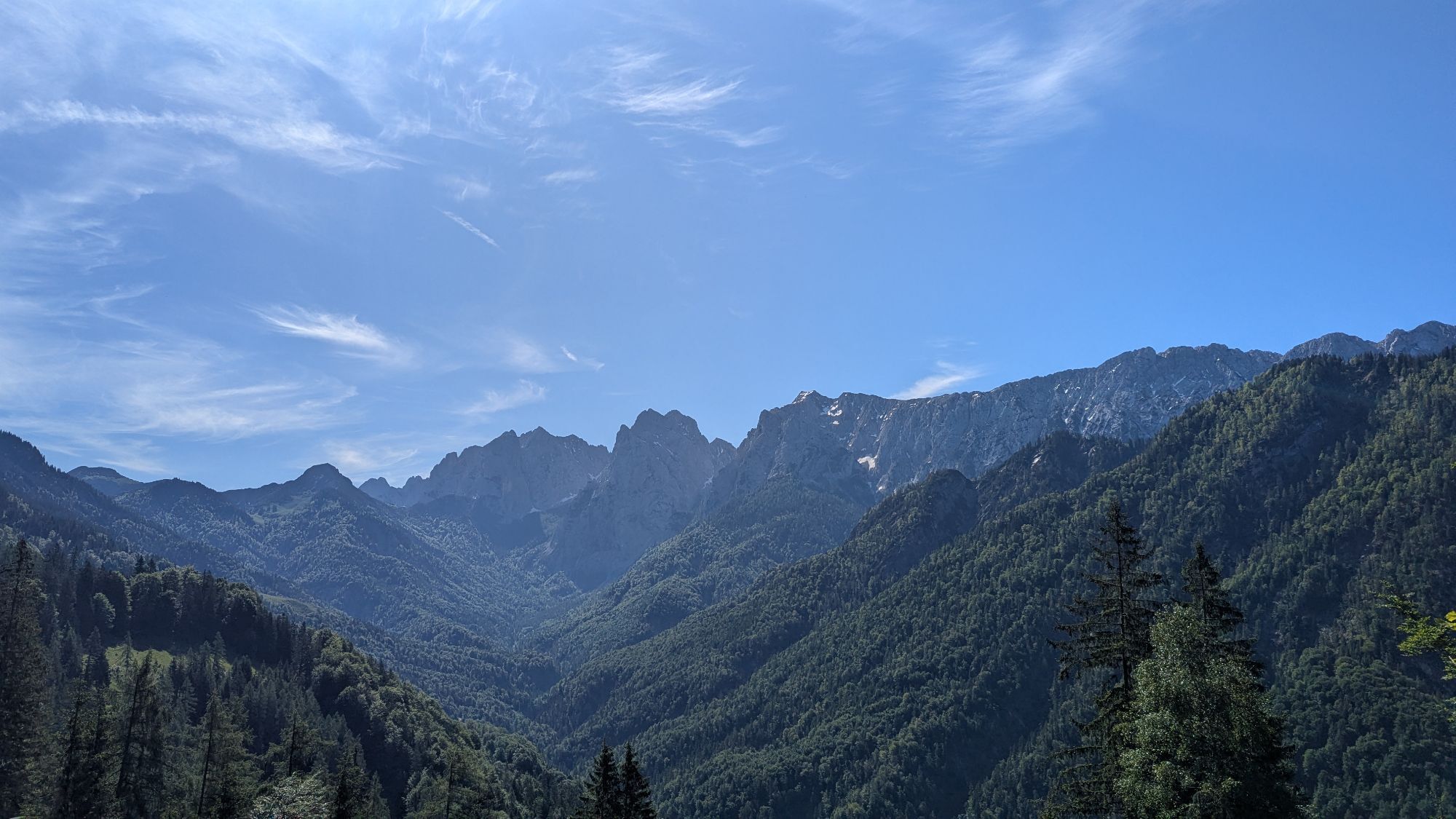
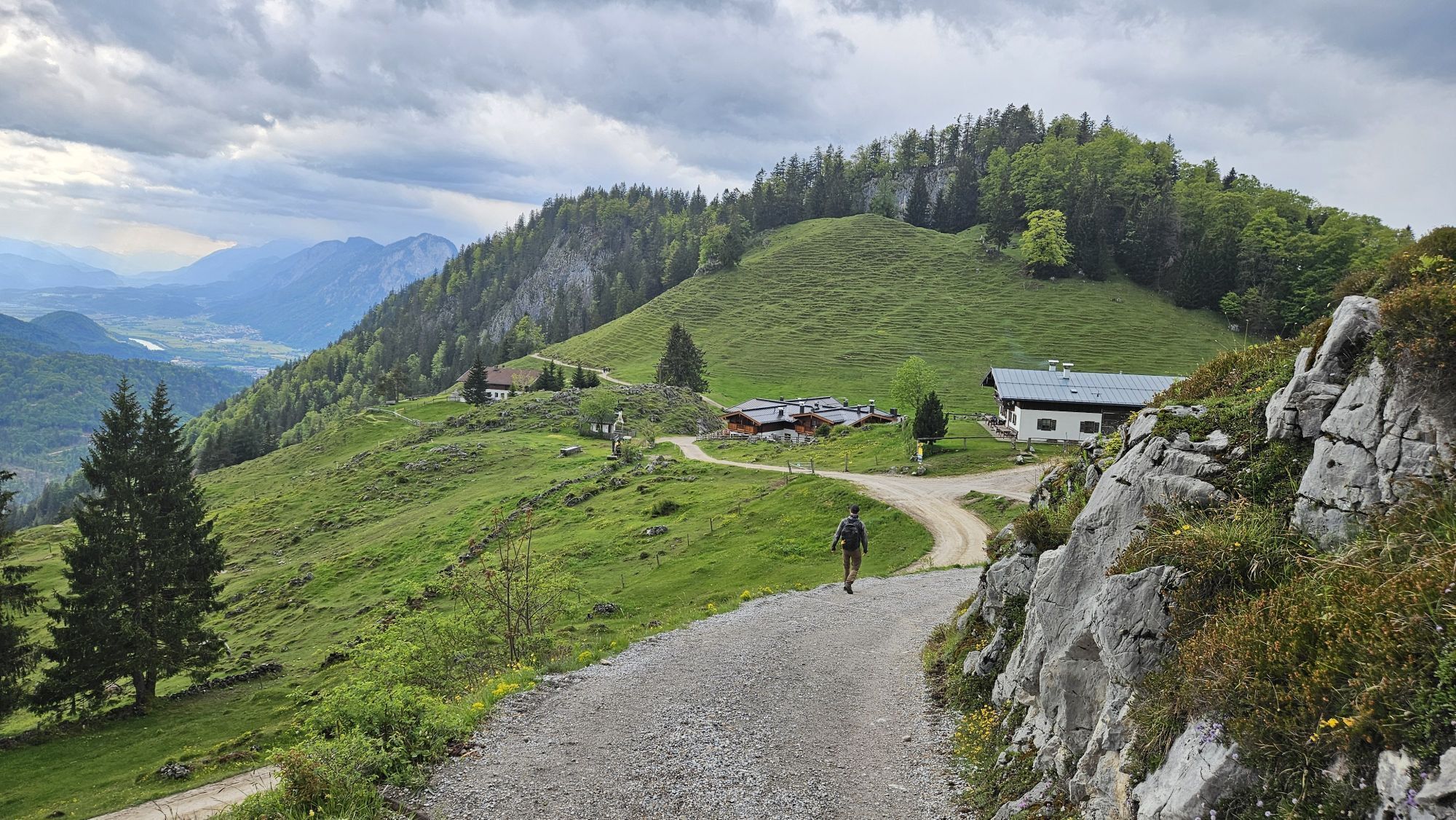
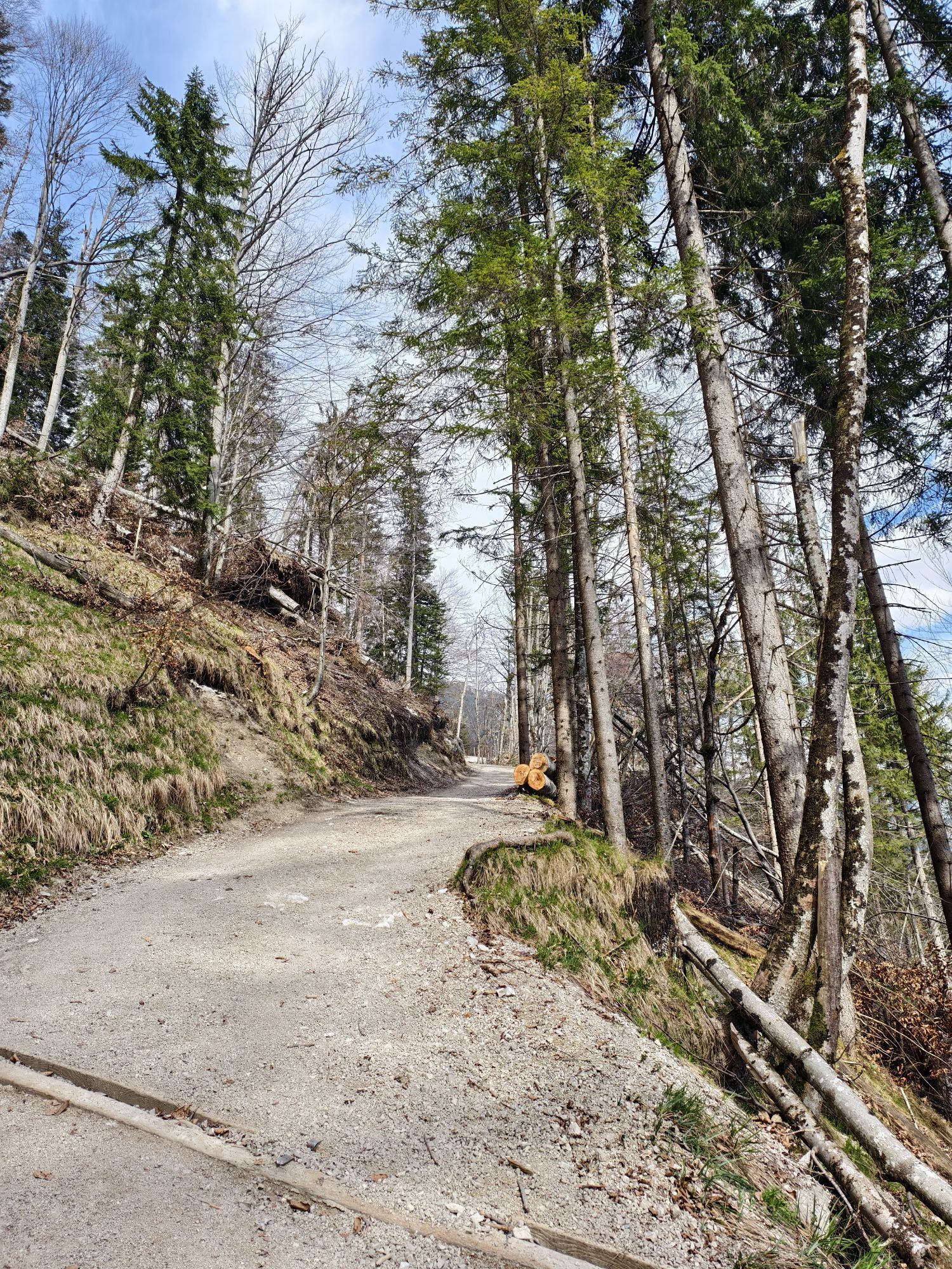
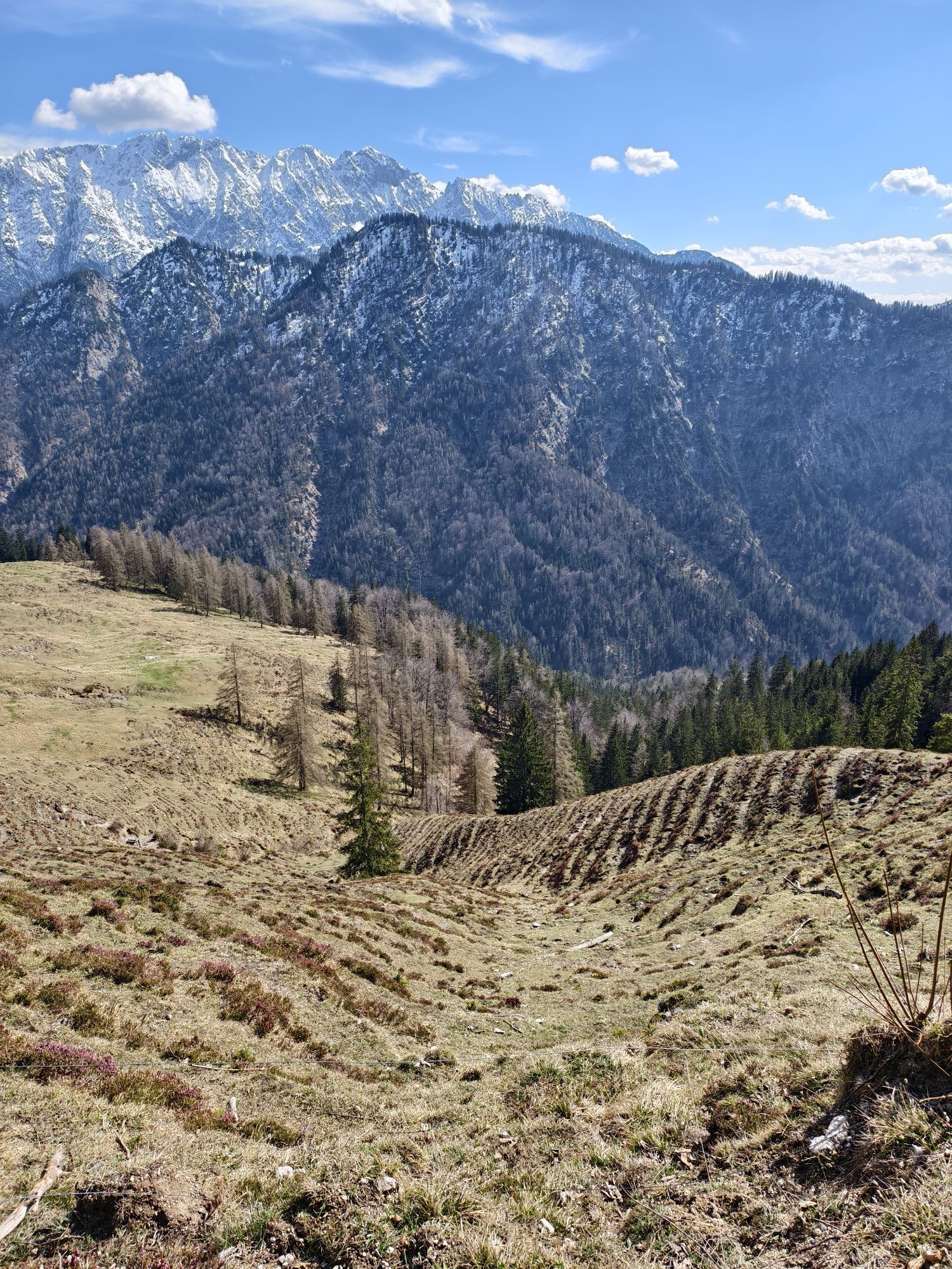
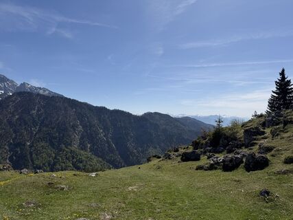
Shortly afterwards a path to your right leads to the "Tischofer Höhle" (a short side trip recommended). We follow the path straight ahead, passing the spot where the Kaisertaltunnel, opened in May 2008, meets the route. Below the path you can see the first managed alpine cabin in the Kaiser valley. After a few minutes walk you reach the "Gasthof Veitenhof", the eldest and first inn in the Kaiser valley with the possibility to stay overnight.The route continues on a wide, slightly ascending path until you reach a fork in the path. Going left you'll follow the steep ascent through the forest up to the Ritzau Alm where you can have a rest and enjoy the breathtaking views.
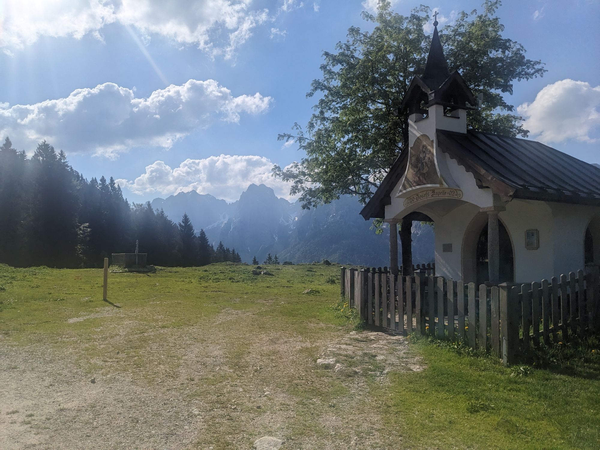
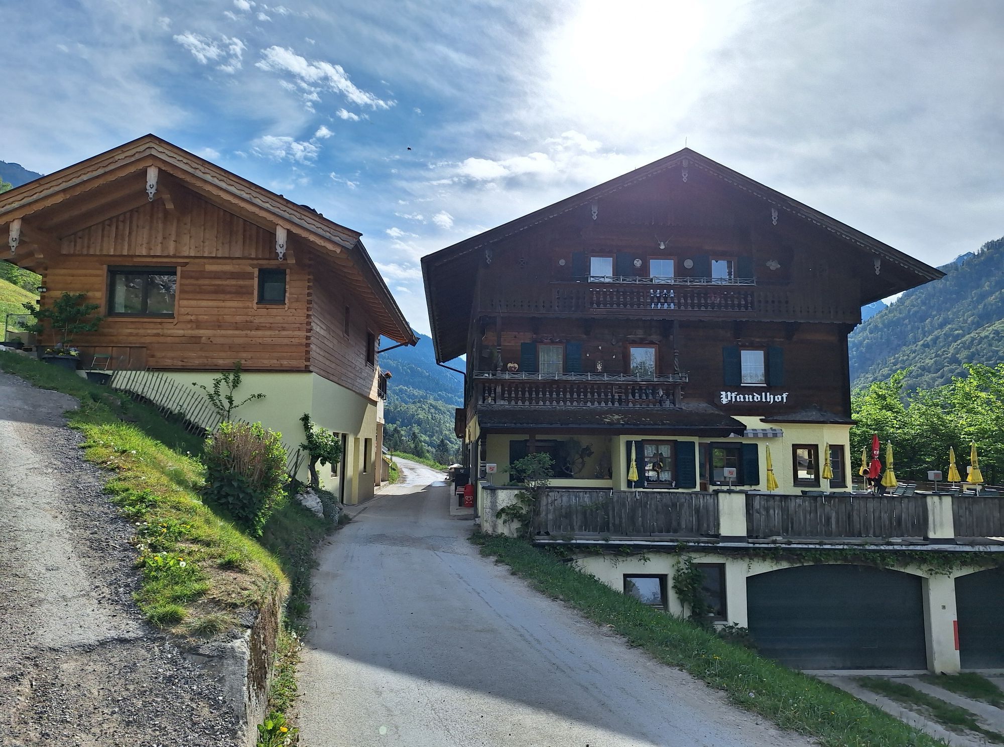
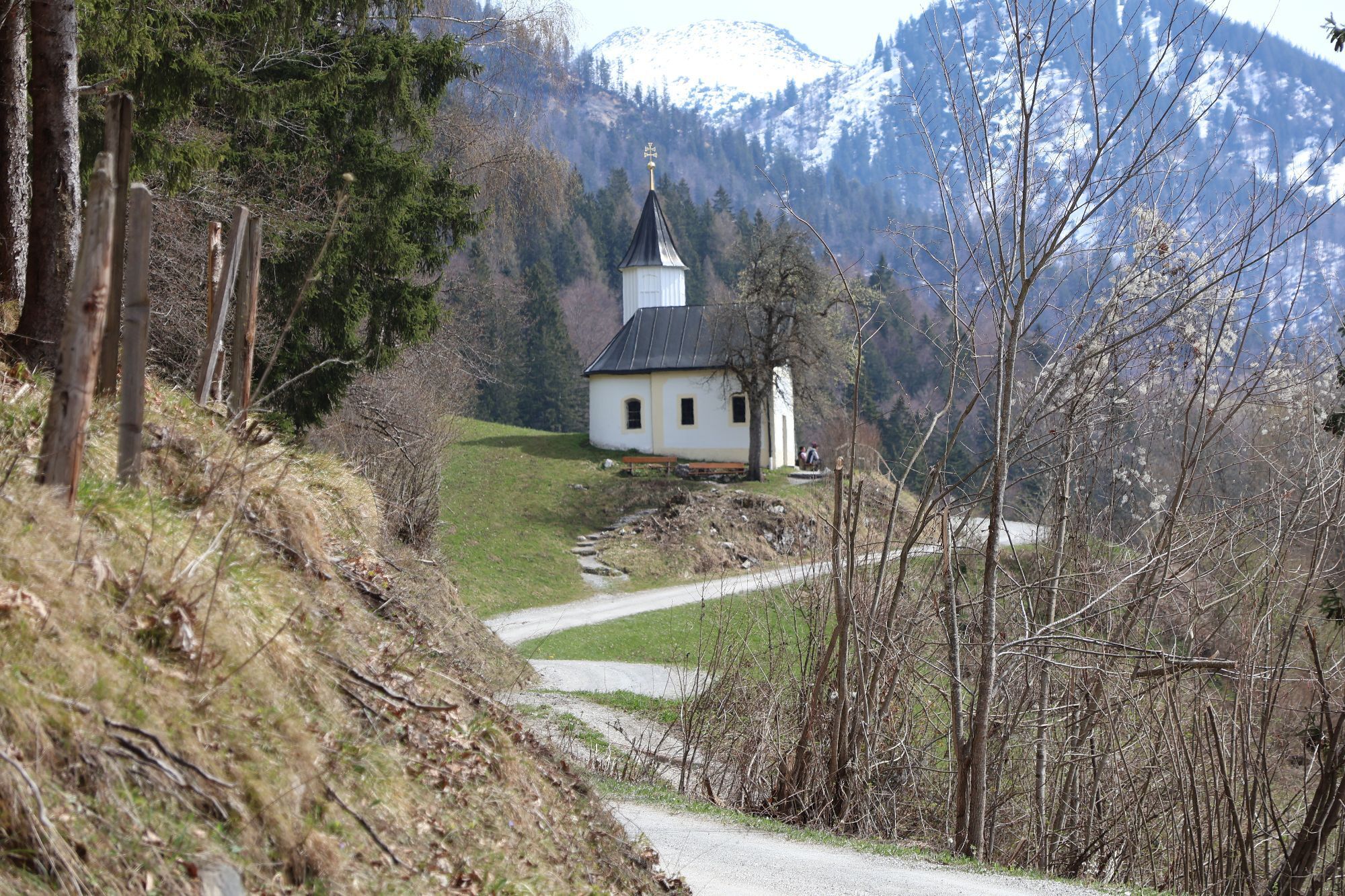
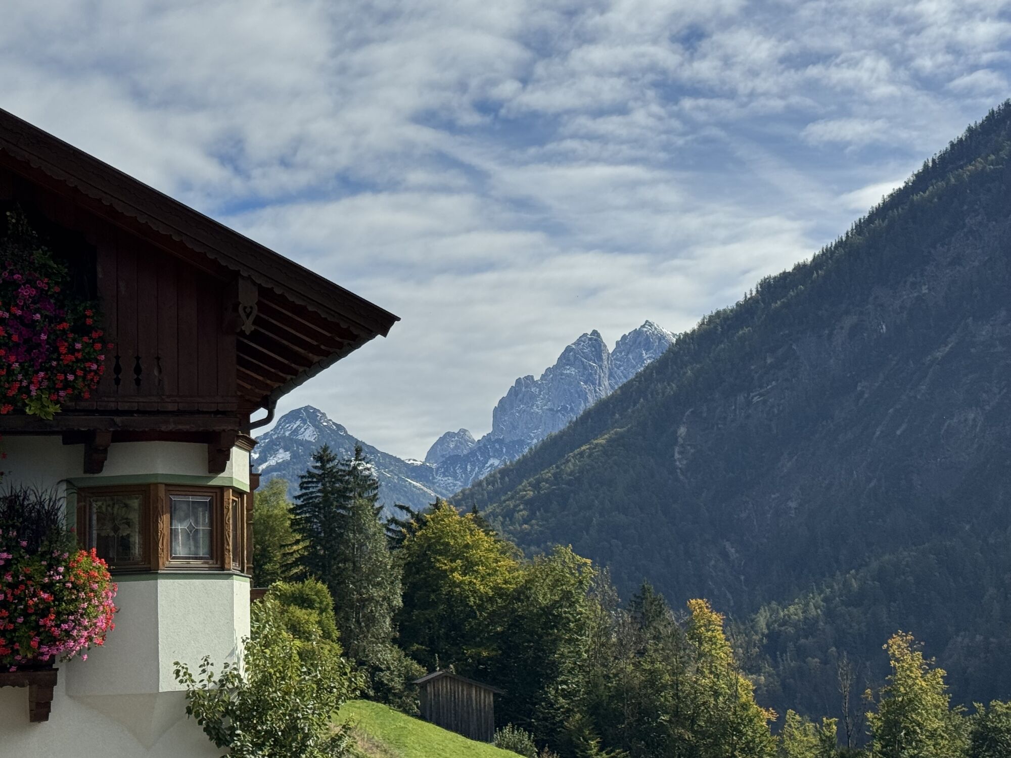
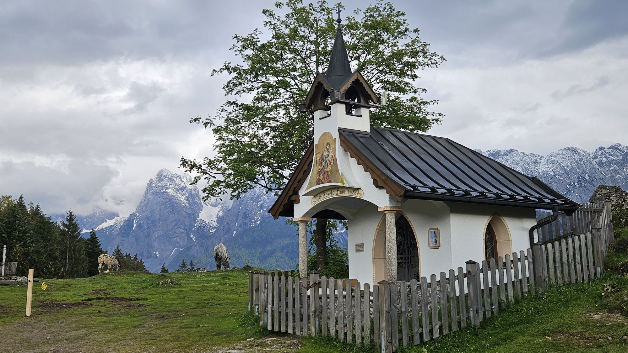
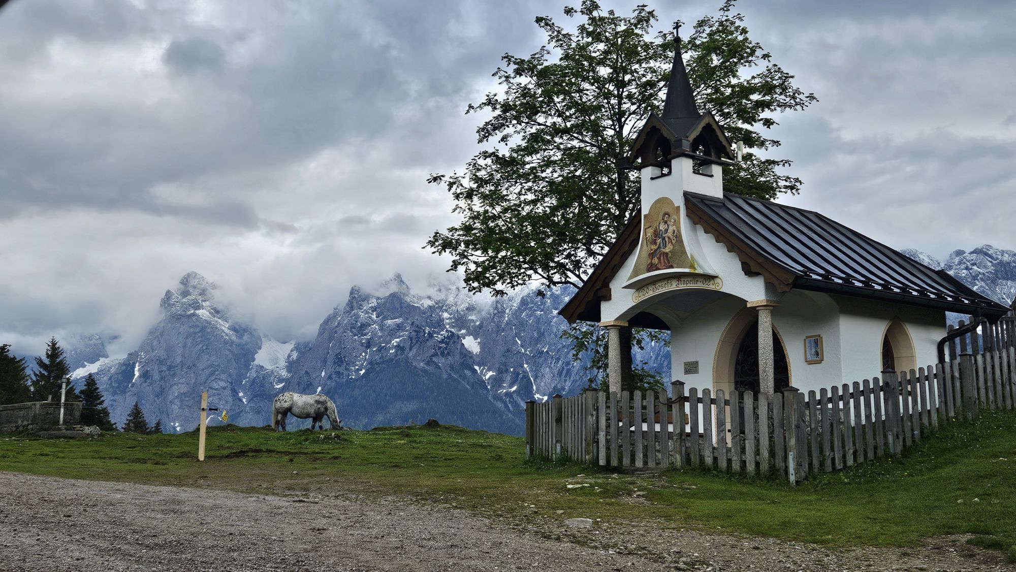
From here we are hiking uphill to Vorderkaiserfelden. Further via a steep path and forest road, past the Antonius Chapel to guesthouse Pfandlhof. The rush of the Kaiser creek gets quieter until you almost can not hear it anymore. The route can be mastered without big effort and Ebbs-Eichelwang can be reached in about 2,5 hours by taking the steps downhill.
Snacks (e.g. fruit, muesli bars, wholemeal breads) and drinks (allow for sufficient liquid)
First aid equipment
Mobile phone with full battery
Hiking map and guide literature
Sun protection (sun cream and glasses, cap)
Bivouac bag
By car from the Inntalautobahn A12 take the exit Kufstein Nord. At the traffic circle take the fourth exit in the direction of Ebbs. At the second traffic circle, take the first exit and follow the signs to Kaisertal until you reach the parking lot.
Take bus line 1 to the stop "Kaiseraufstieg". With the KufsteinerlandCard within the region bus free of charge.
Kaiseraufstieg, subject to a charge.
Aktivitäten entlang der Tour

Petersköpfl, Tirol/Österreich
10.05.2026 – SonstigesKufstein, Tirol/Österreich
06.05.2026 – Bergwandern
Kufstein, Tirol/Österreich
02.05.2026 – Wanderung
Kufstein, Tirol/Österreich
28.04.2026 – Sonstiges
Kufstein, Tirol/Österreich
26.04.2026 – BergwandernAbstieg Rjtzau m R
24.04.2026 – WanderungEbbs, Tirol/Österreich
23.04.2026 – Bergwandern
Kufstein, Tirol/Österreich
12.04.2026 – Wanderung
Ebbs, Tirol/Österreich
22.03.2026 – Trailrunning
Naunspitze Ebbs
21.03.2026 – WanderungEbbs, Tirol/Österreich
18.03.2026 – BergwandernEbbs, Tirol/Österreich
10.03.2026 – Bergwandern
Beliebte Touren in der Nähe
- 5,0
Priener Hütte
mittelWanderung 7,99 km - 4,7
Musikantensteig zur Naunspitze
mittelWanderung 8,96 km - 4,6
Geigelstein
mittelWanderung 14,5 km - 4,5
Über Hintersteinersee und Walleralm aufs Hochegg
leichtWanderung 12,2 km - 4,5
Wanderung: Spitzstein und Altkaseralm von Sachrang
mittelWanderung 4,03 km - 4,5
Wanderung um den Hintersteinersee
leichtWanderung 5,29 km - 4,6
Hintersteinersee
mittelWanderung 9,87 km - 5,0
Stripsenjoch Klettersteige/ Rundwanderung von Griesener Alm über Stripsenjochhaus und Feldberg
mittelKlettersteig 10,2 km - 4,2
Bergdoktor Wohnhaus "Gruberhof" (Köpfing Hof) Rundeweg-Söll
leichtWanderung 8,70 km - 5,0
Kirchdorf: Stripsenjoch Klettersteige
schwerKlettersteig 3,76 km
Wandern & Tracking


Verpasse keine Angebote und Inspirationen für deinen nächsten Urlaub
Deine E-Mail-Adresse wurde in den Verteiler eingetragen.