


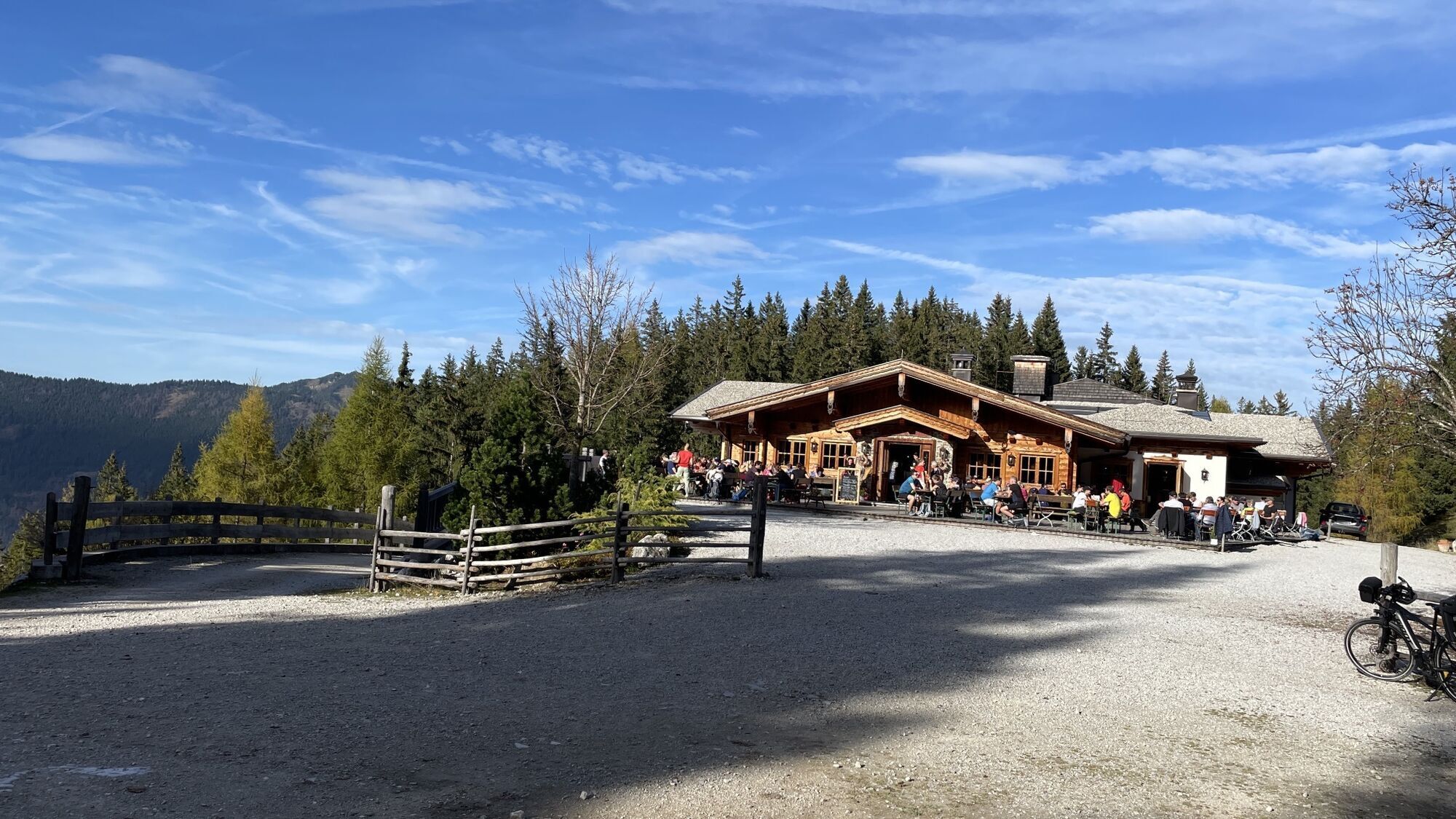
Kala Alm Thiersee
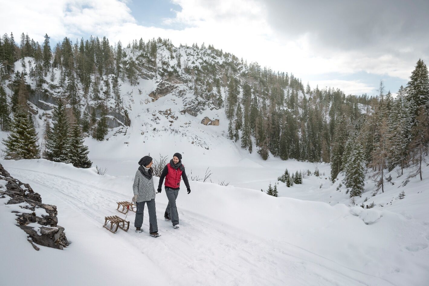
From the parking area at the guesthouse Schneeberg in Mitterland along the natural sled run uphill to the tyrolean Kala Alm. By foot or sled you get back to the starting point (sleds can be rented directly...
From the parking area at the guesthouse Schneeberg in Mitterland along the natural sled run uphill to the tyrolean Kala Alm. By foot or sled you get back to the starting point (sleds can be rented directly at the Kala Alm). HINT: About 2/3rds of the route are lighted in the evening. So the route is perfect for a romantic hiking tour or sledging.


Clothing adapted to winter temperatures (warm, breathable, etc.),
Food and drink,
First aid equipment,
Mobile phone with full battery,
Hiking map and guide literature,
Sun protection (sunglasses, sunscreen and cap),
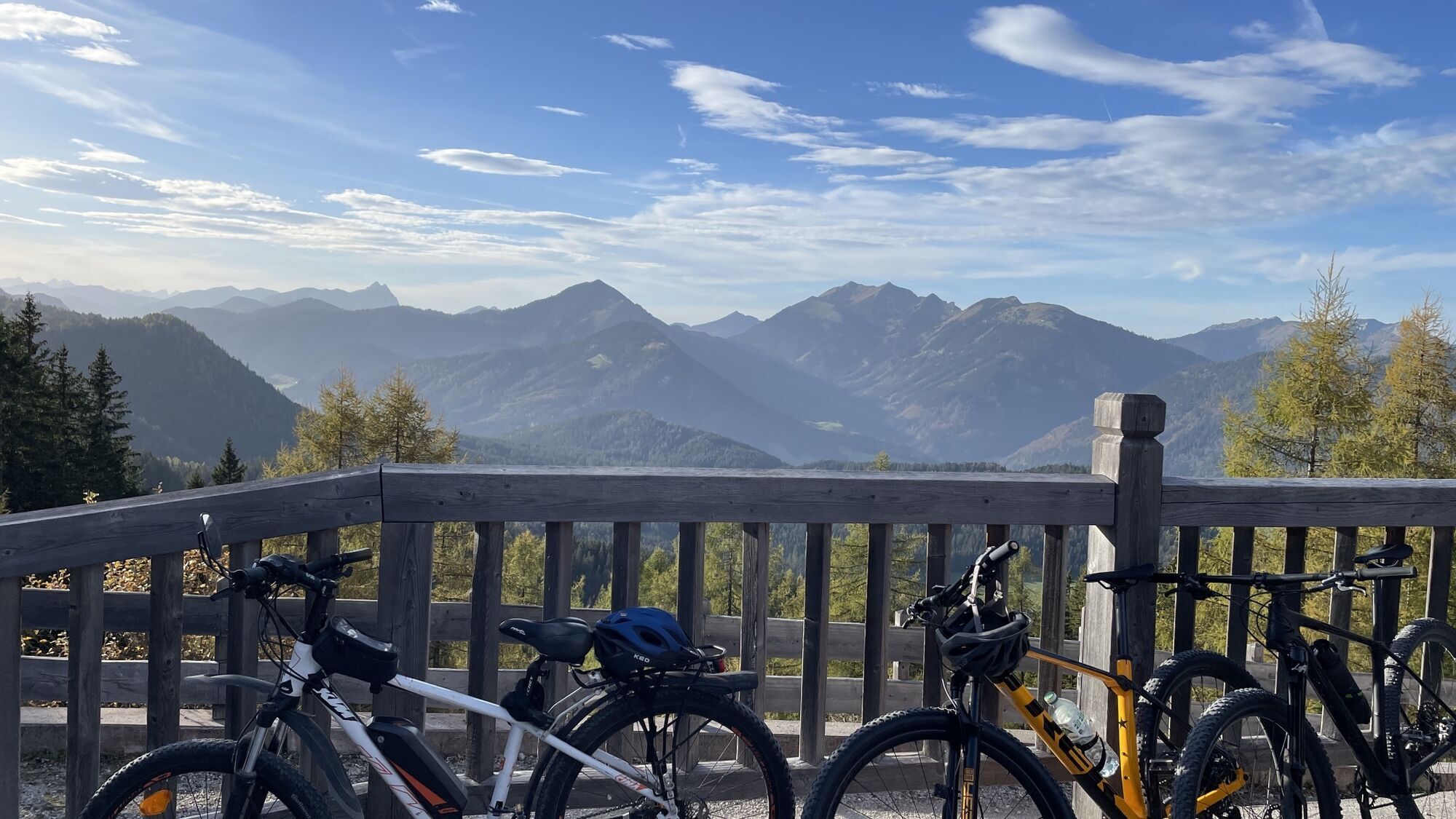
Telescopic poles,
Shoe spikes for walking on ice or snow
Via Kufstein and Vorderthiersee you can reach the Alpengasthof Schneeberg by car.
Bus line 4046 to the bus stop "Thiersee Pfarrwirt Mitterland". From here an additional 180 metres in altitude difference can be covered to Alpengasthof Schneeberg.
Alpengasthof Schneeberg, subject to a charge.
Webcams der Tour
Beliebte Touren in der Nähe
- 4,7
Wendelstein
mittelWanderung 11,2 km - 4,7
Musikantensteig zur Naunspitze
mittelWanderung 8,96 km - 4,5
Über Hintersteinersee und Walleralm aufs Hochegg
leichtWanderung 12,2 km - 4,6
Hintersteinersee
mittelWanderung 9,87 km - 4,5
Wanderung um den Hintersteinersee
leichtWanderung 5,29 km - 4,6
Wildalpjoch und Käserwand
mittelWanderung 7 km - 4,2
Bergdoktor Wohnhaus "Gruberhof" (Köpfing Hof) Rundeweg-Söll
leichtWanderung 8,70 km - 4,6
Miesing
mittelBergwandern 17,9 km - 4,9
Kleiner und großer traithen von rosengasse
mittelWanderung 9,84 km - 4,5
Pendling
mittelWanderung 8,37 km

Wandern & Tracking


Verpasse keine Angebote und Inspirationen für deinen nächsten Urlaub
Deine E-Mail-Adresse wurde in den Verteiler eingetragen.