






Hausberg
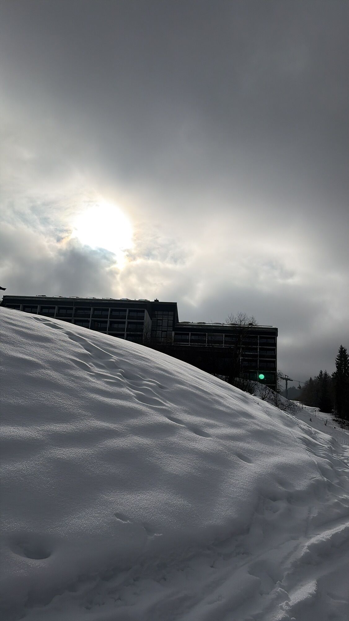
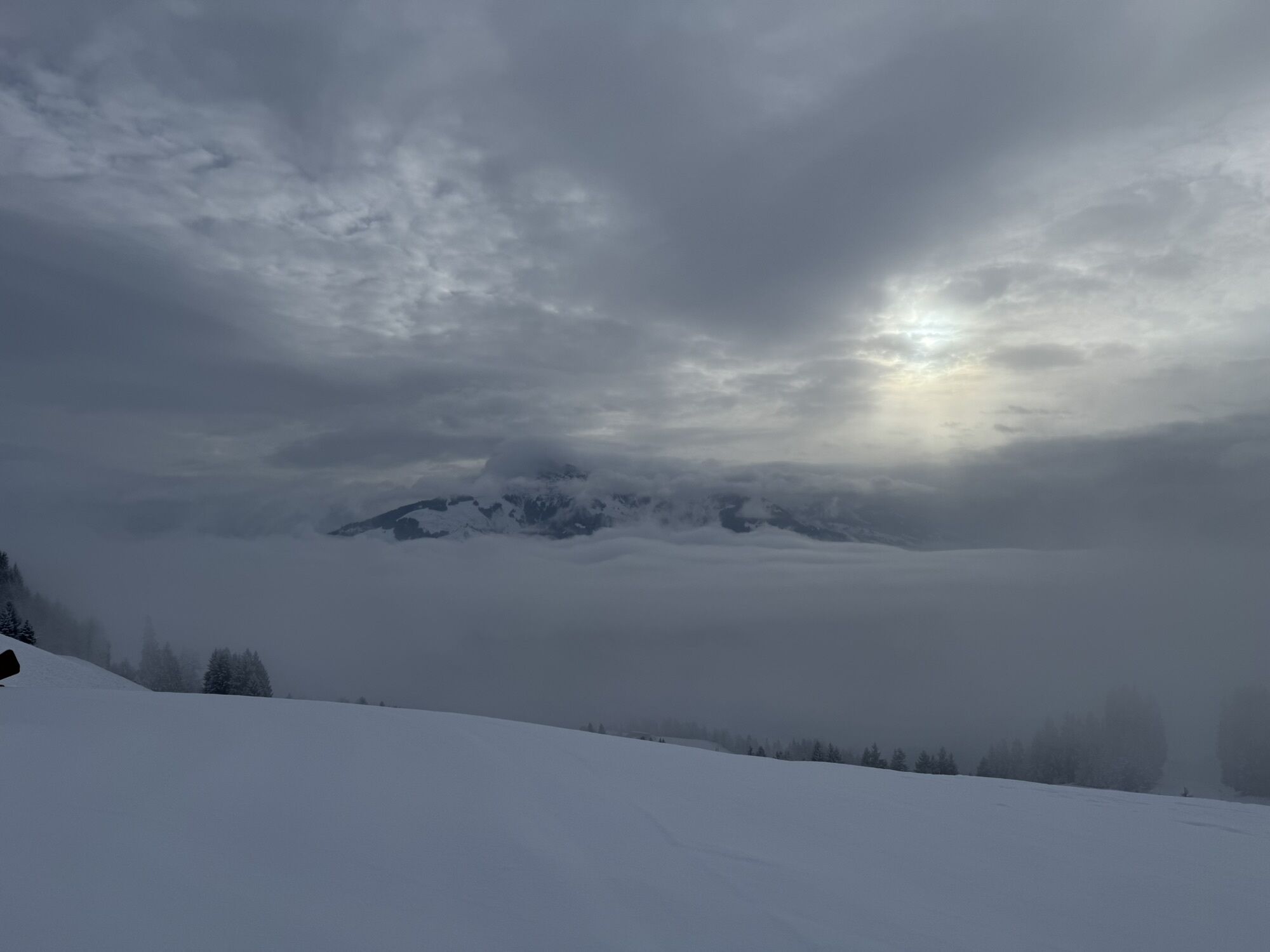
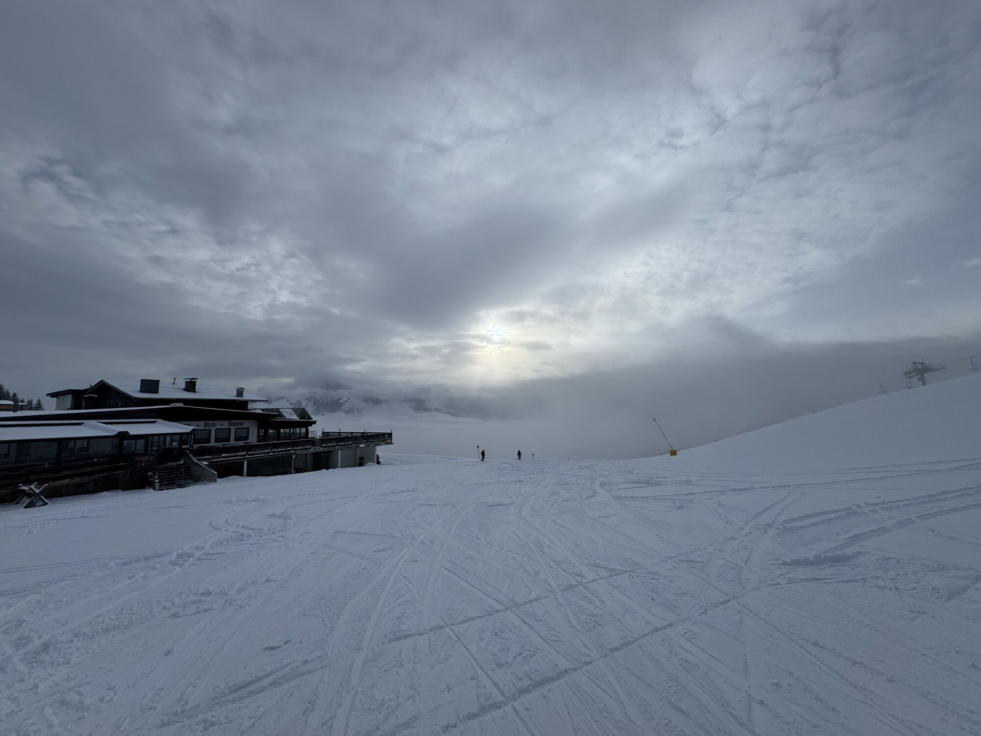
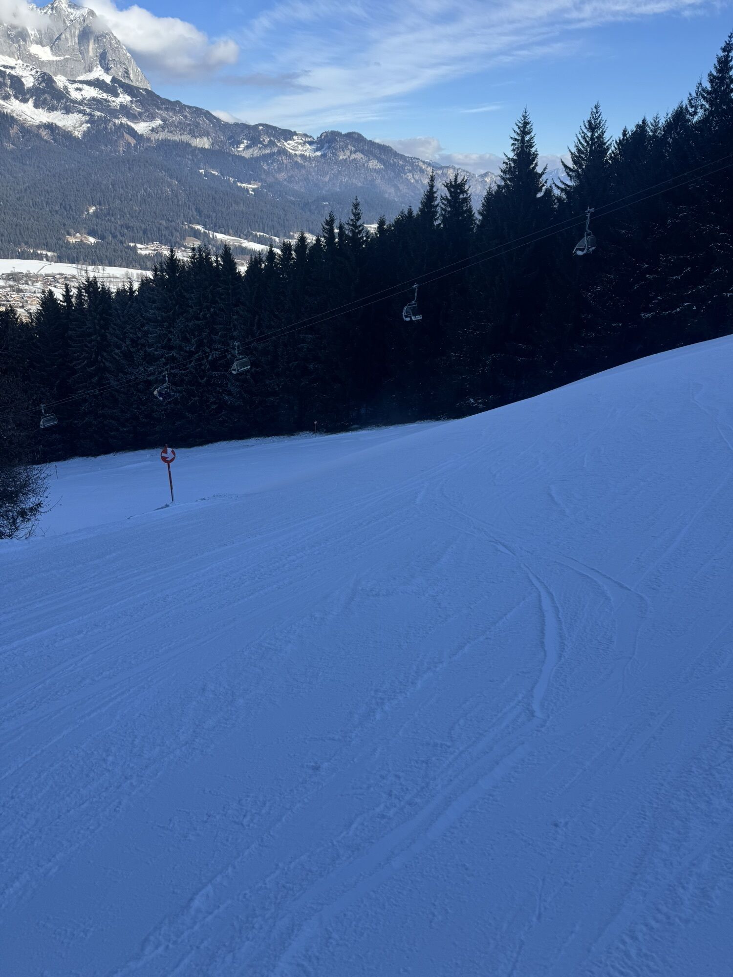
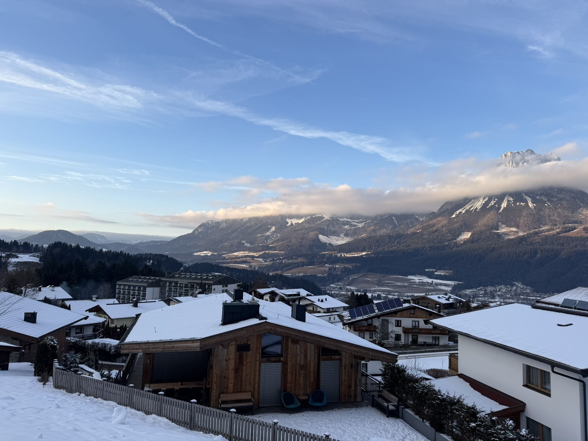
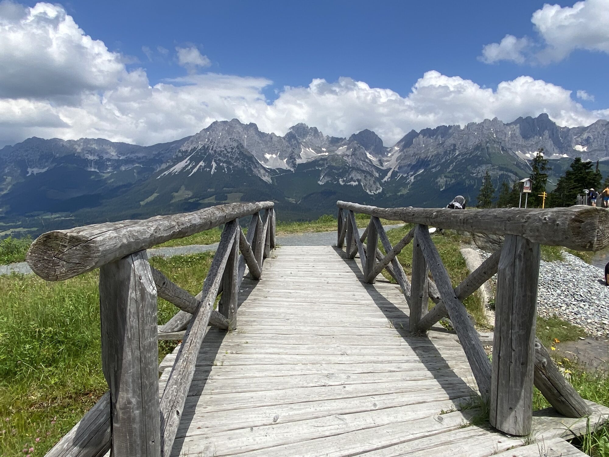
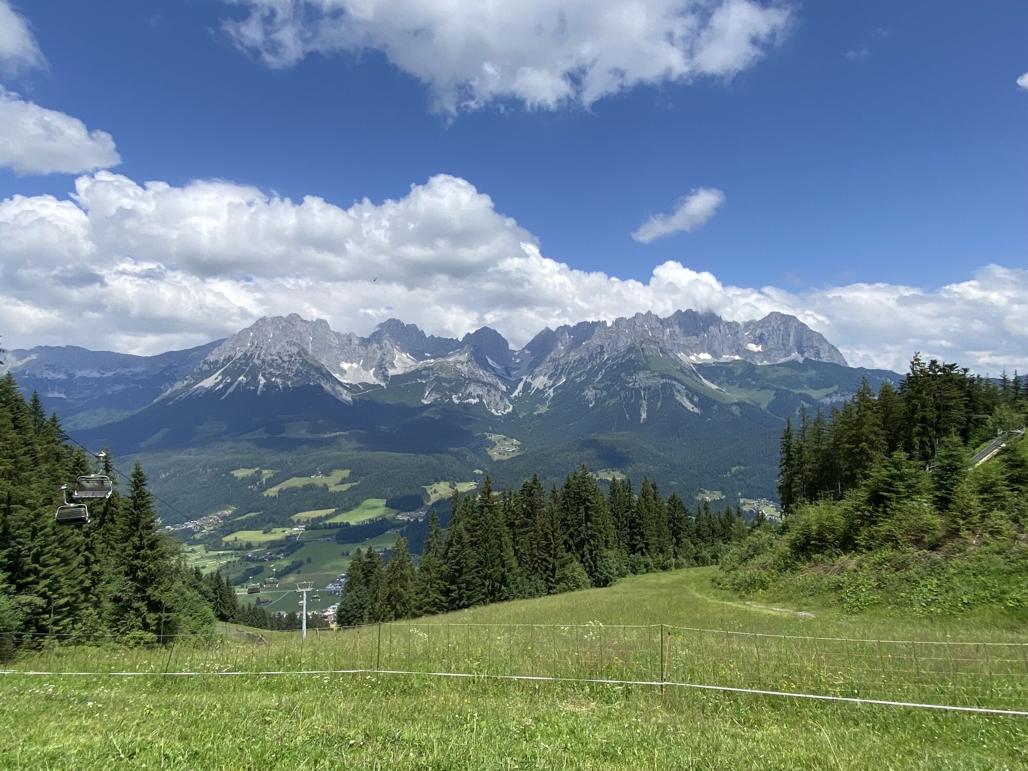
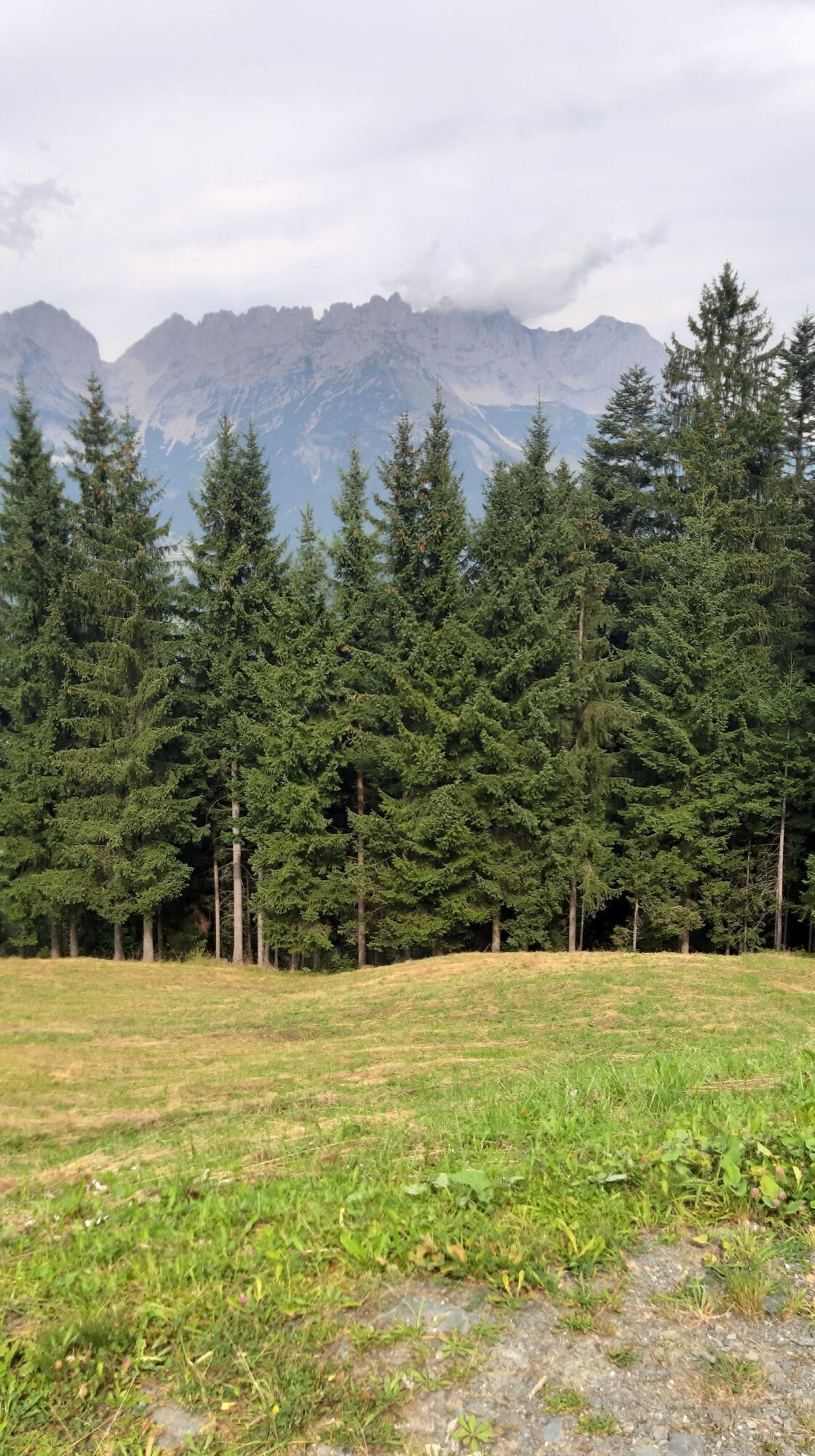
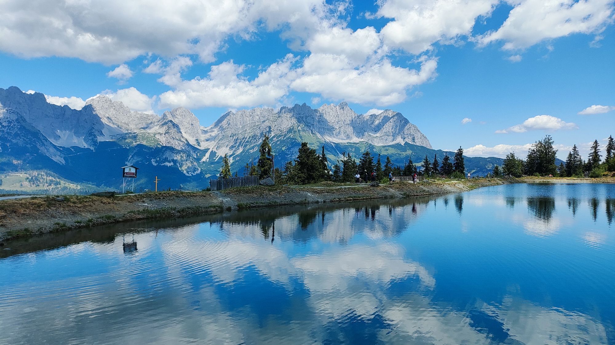
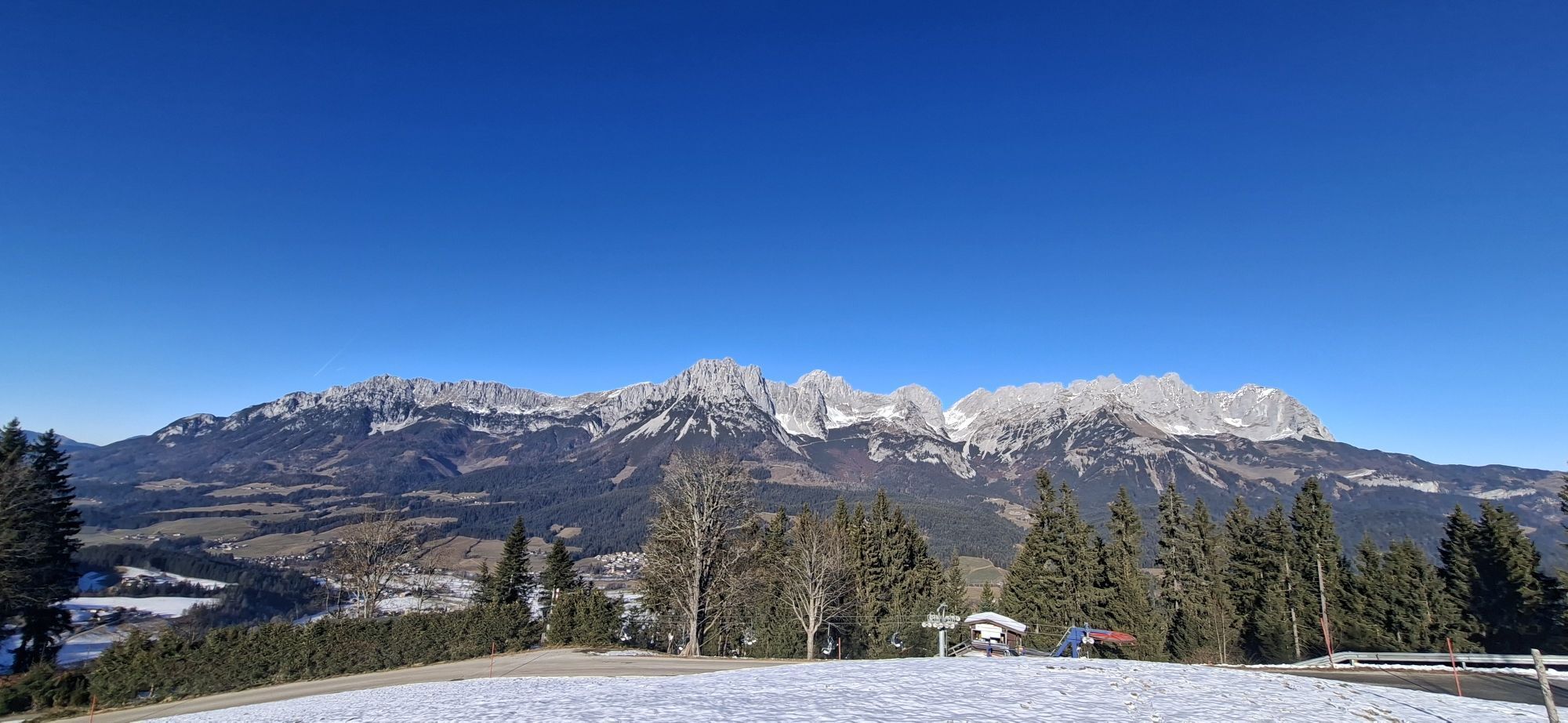
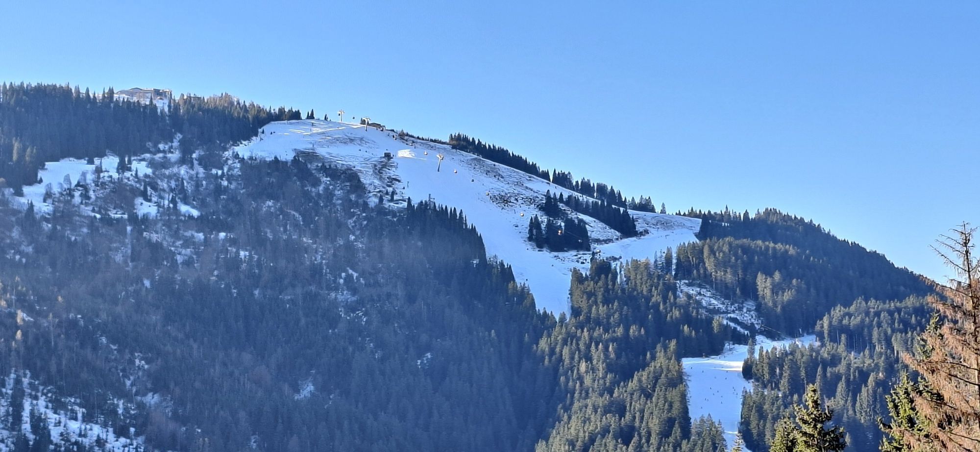
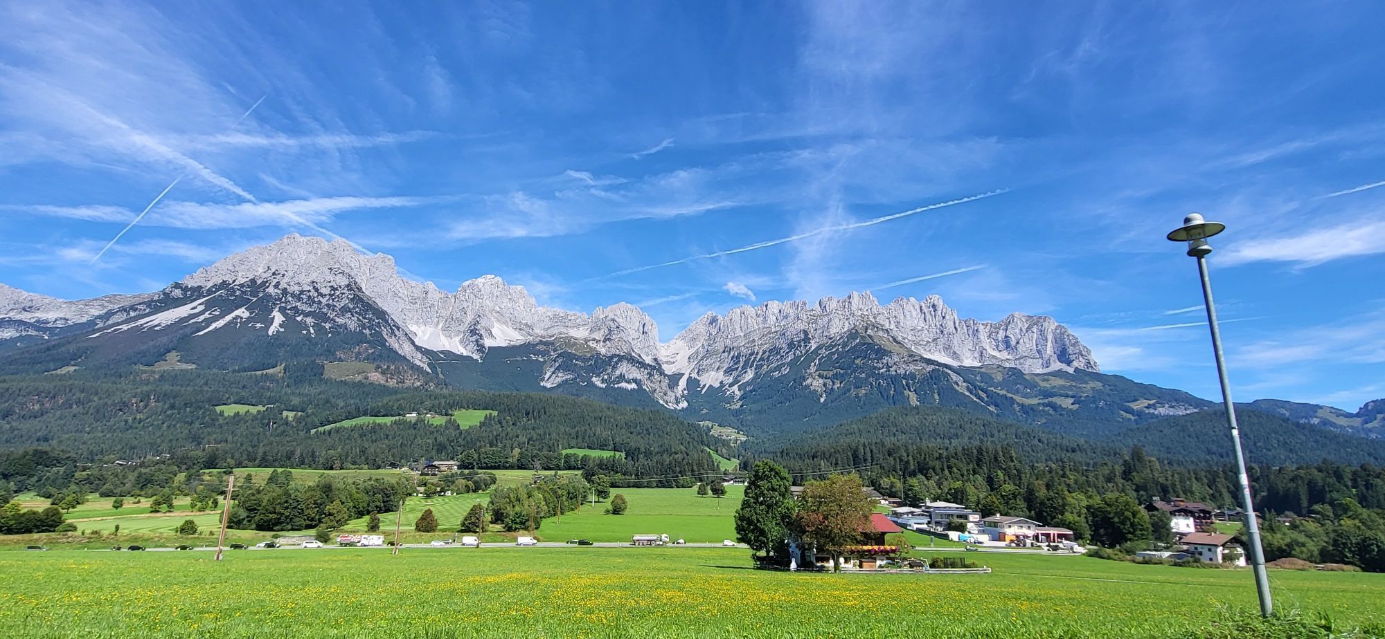
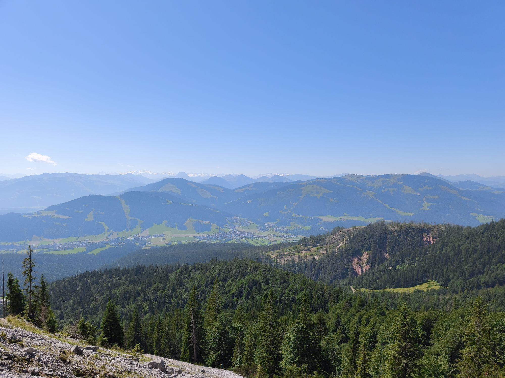
You start your sporty hike at the parish church in Ellmau and follow the road uphill via the Kirchbichl district in the direction of the Brenner Alm (1.250 m). If you want, you can fortify yourself at...
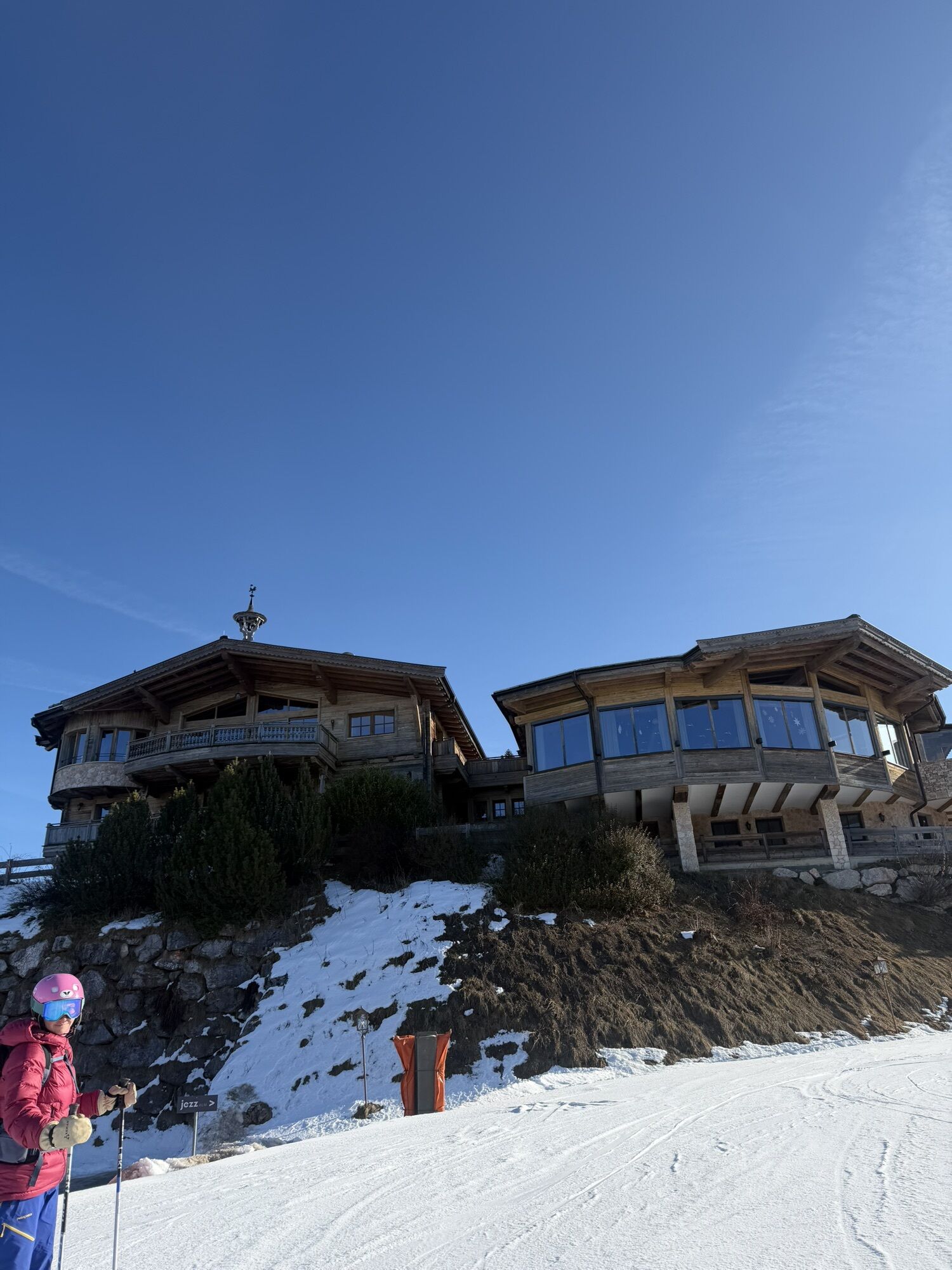
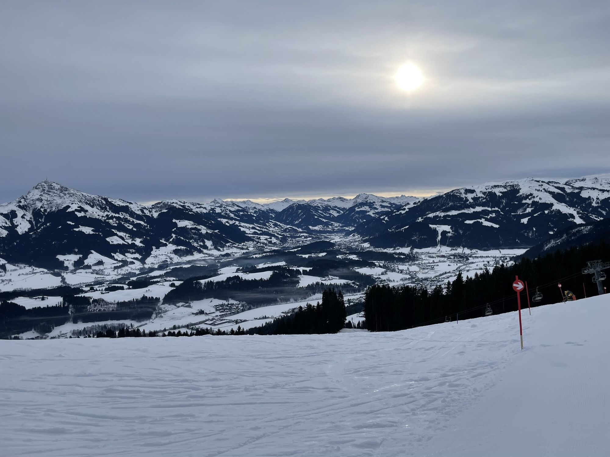
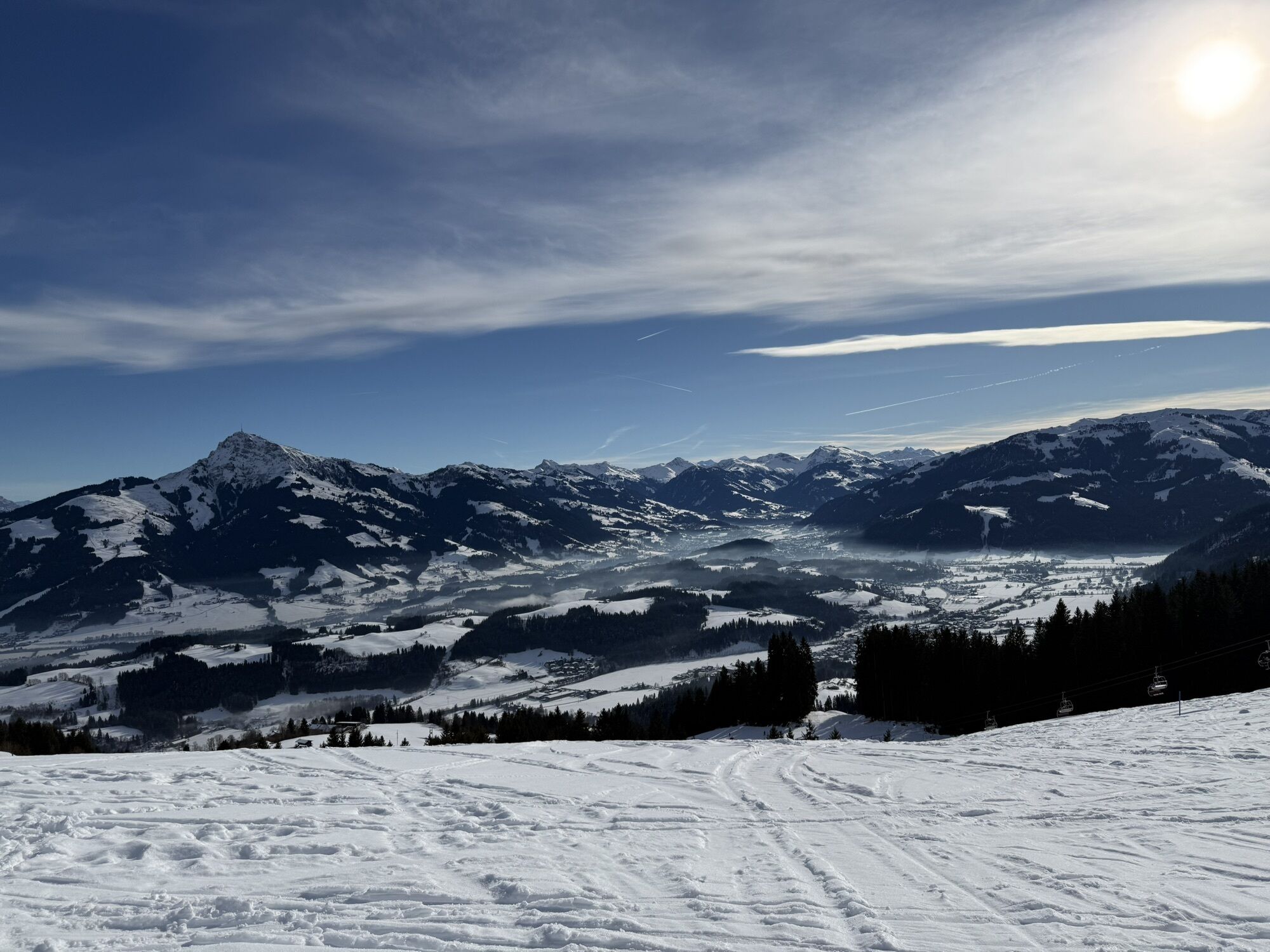
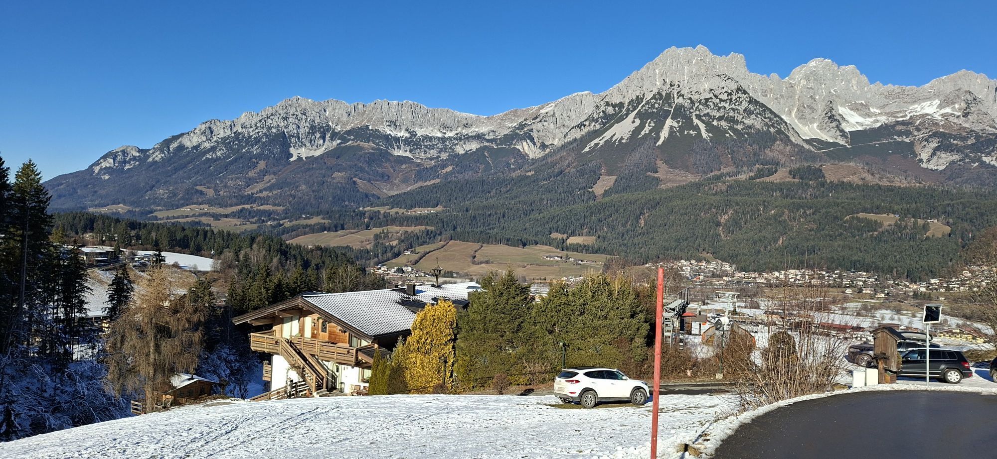
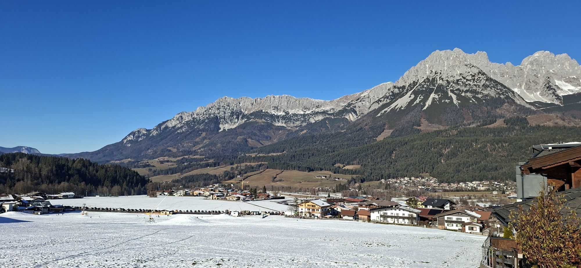
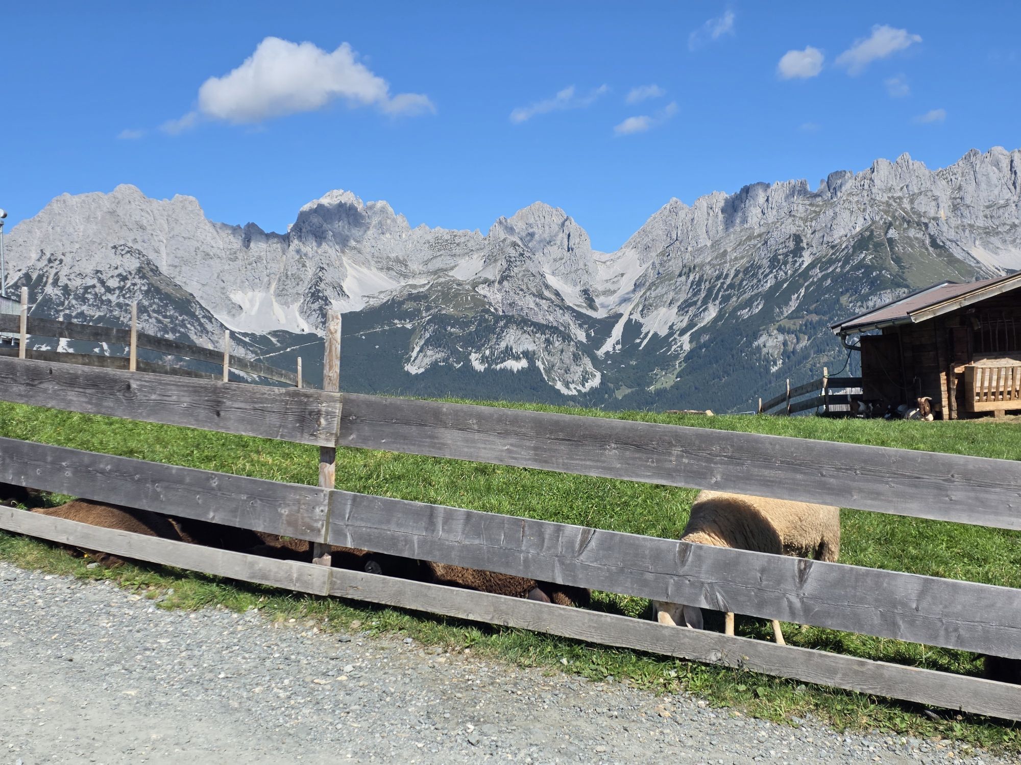
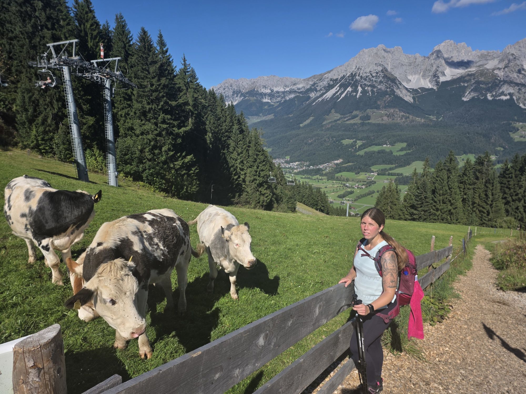
You start your sporty hike at the parish church in Ellmau and follow the road uphill via the Kirchbichl district in the direction of the Brenner Alm (1.250 m). If you want, you can fortify yourself at the surrounding huts such as the newly opened Treichlhof, Brenner Alm or Blattlhof and enjoy the magnificent panoramic view. Now you can whiz down the 4.5 km toboggan run with your own toboggan, fun is guaranteed! Those who prefer the more leisurely option can take the Astbergbahn back to the valley station in Going.
Of course you can also start this tour with the Astbergbahn.
Tip:toboggan rental in the sports shops in the village.

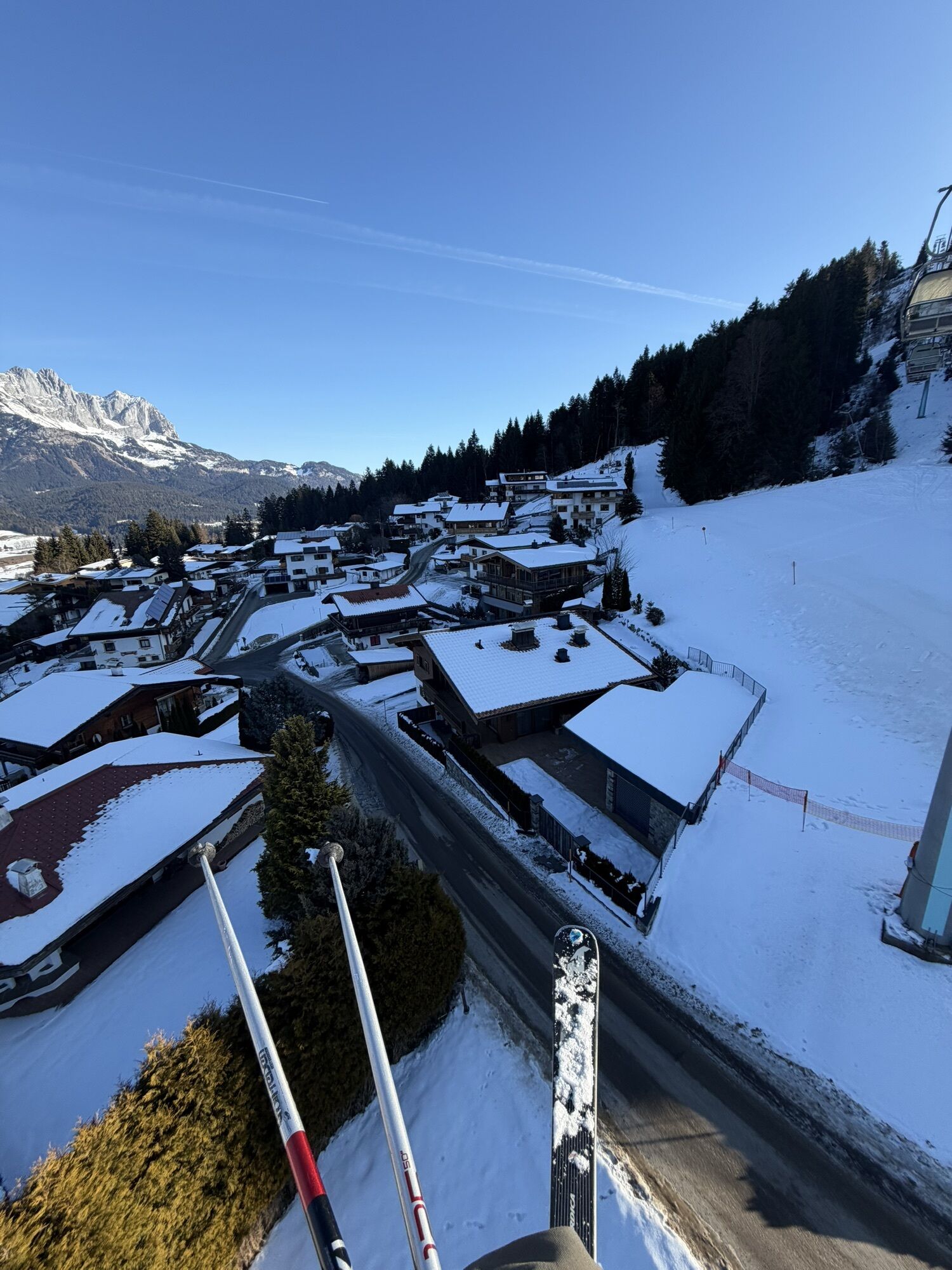
This route, which lets the lift take some of the strain, also rewards you with panoramic views. From the Astbergbahn valley station in Going take the chairlift to the summit station at 1,267 metres. After alighting, keep right and follow the winter hiking trail into the forest in the direction of the Brenner Alm. Before heading out on the walk, you might like to fuel up with a bite to eat at the Blattlalm mountain hut. Along the route, the Brenner Alm mountain hut and the Treichlhof refreshment stop also boast beautiful sun terraces and traditional parlours serving Tirolean cuisine. Walk along the road through the district of Kirchbichl into the centre of Ellmau. Anyone looking for something more strenuous can follow this winter hiking trail in the opposite direction and climb uphill instead. In Ellmau, follow the road keeping the church on your left. Tip: If the roads are covered in enough snow, why not take your toboggan with you and return to Ellmau or Going using the toboggan run?
Sturdy high mountaineering boots with anti-slip treaded soles (waterproof), weather-appropriate outdoor gear (breathable) incl. a change of clothes, sun protection (sunglasses, sun cream, lip protection, headgear), waterproofs (rain jacket/poncho, pocket umbrella, rucksack protector), cold protection (hat, gloves), sufficient food and hot drinks, hiking poles (height adjustable) if required, first aid kit incl. rescue blanket and bivouac sack, mobile phone with fully charged battery, headlamp, plastic bag for waste, hiking map, route description and information materials (GPX track), ID card, insurance card, cash.
Heading from Wörgl or Kufstein on the B178 road, take the first exit to Ellmau and then take the first exit at the roundabout. Drive along the bypass, then turn towards the centre of Ellmau when you reach the end (between MPreis and the Sporthotel). Continue straight on until you see the Tourist Information Office on the right-hand side (short-stay parking zone). The hiking starting point is located opposite this on the left-hand side. Heading from St. Johann on the B178 road, take the first exit to Ellmau and drive straight on through the town until you see the Tourist Information Office on the right-hand side (short-stay parking zone). The hiking starting point is located opposite this on the left-hand side.
Skibus stop in Ellmau “Kirche" or "Hotel Alte Post” or Postbus stop “Ellmau Dorf Bauhof”. More information at: www.wilderkaiser.info"
Public car parks in Ellmau centre or west - for free or Astbergbahn, Going.
Hol dir den Einblick Immer live vor Ort mit über 9.500 Webcams. In der Touren App von bergfex siehst du als Pro-User jetzt zu vielen Touren die passenden Webcams. So kannst du dir direkt die aktuellen Bedingungen ansehen.
Beliebte Touren in der Nähe
- 4,7
Kirchdorf: Zur geheimnisvollen Teufelsgasse
mittelWanderung 7,90 km - 4,8
Gruttenhütte über Klammlweg
mittelWanderung 5,61 km - 5,0
Schleierwasserfall Runde
mittelWanderung 5,63 km - 4,8
Ellmauer Tor (22.07.2020)
mittelWanderung 9,32 km - 4,8
Streif Wanderweg
mittelWanderung 5,73 km - 4,5
Kitzbüheler Horn über Horn-Gipfel-Höhenweg
mittelThemenweg 5,30 km - 5,0
Stripsenjoch Klettersteige/ Rundwanderung von Griesener Alm über Stripsenjochhaus und Feldberg
mittelKlettersteig 10,2 km - 4,7
Musikantensteig zur Naunspitze
mittelWanderung 8,96 km - 4,6
Hintersteinersee
mittelWanderung 9,87 km - 4,6
St. Johann in Tirol: Wasserfall & 3 Seen am Kitzbüheler Horn
mittelWanderung 12,7 km
Wandern & Tracking


Verpasse keine Angebote und Inspirationen für deinen nächsten Urlaub
Deine E-Mail-Adresse wurde in den Verteiler eingetragen.





