


Summit tour ice cave
Fotos unserer User
 © Andreas TaubenbergerErstellt am 30.10.2022
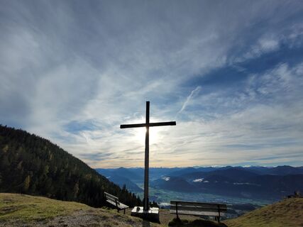
 © Alexandra KaufmannErstellt am 23.10.2022
 © Alexandra KaufmannErstellt am 23.10.2022
 © Alexandra KaufmannErstellt am 23.10.2022
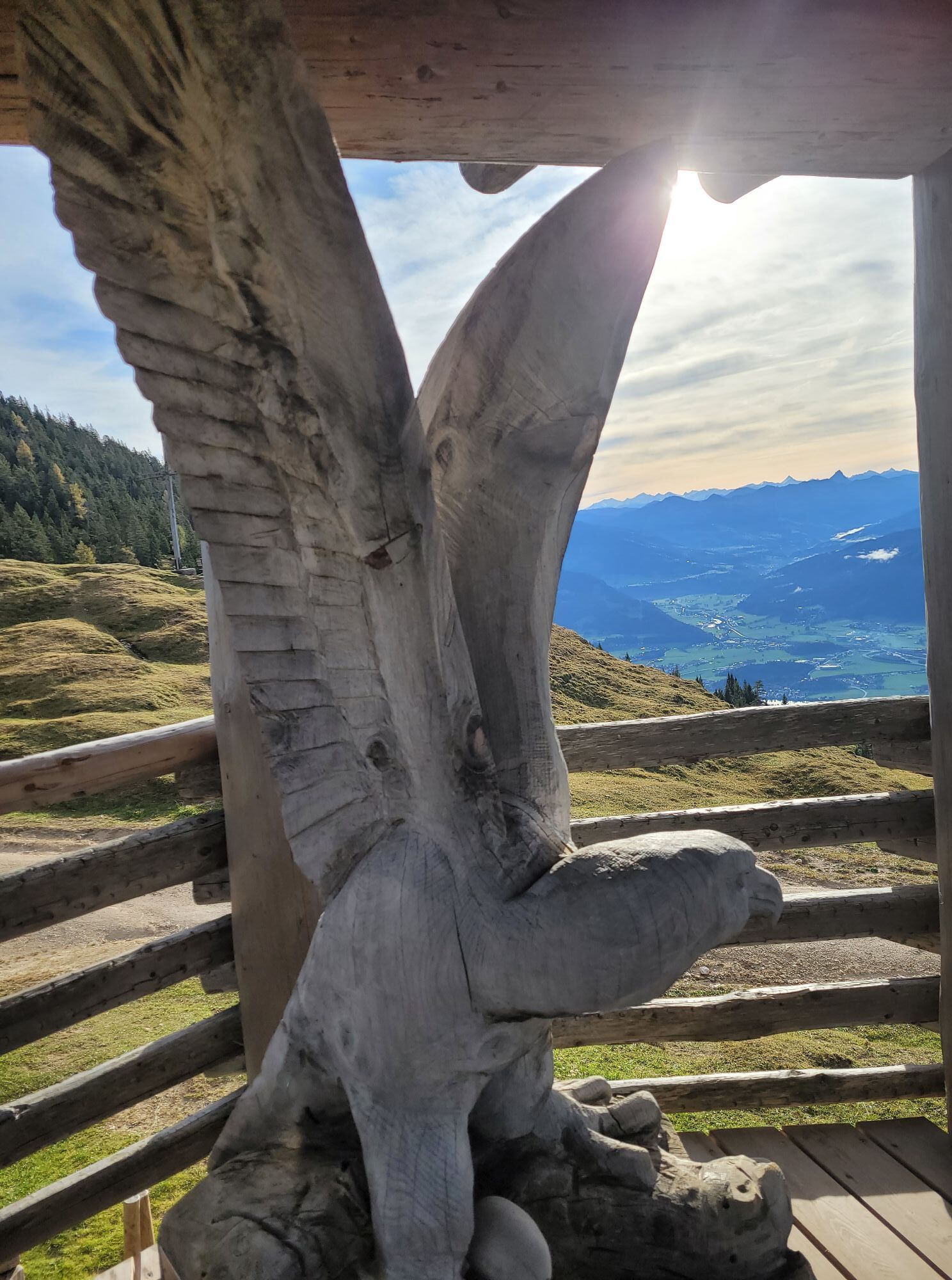
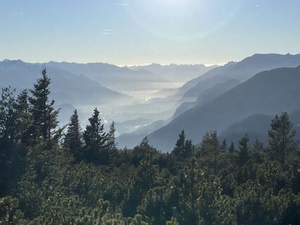 © Meinrad FögerErstellt am 07.11.2025
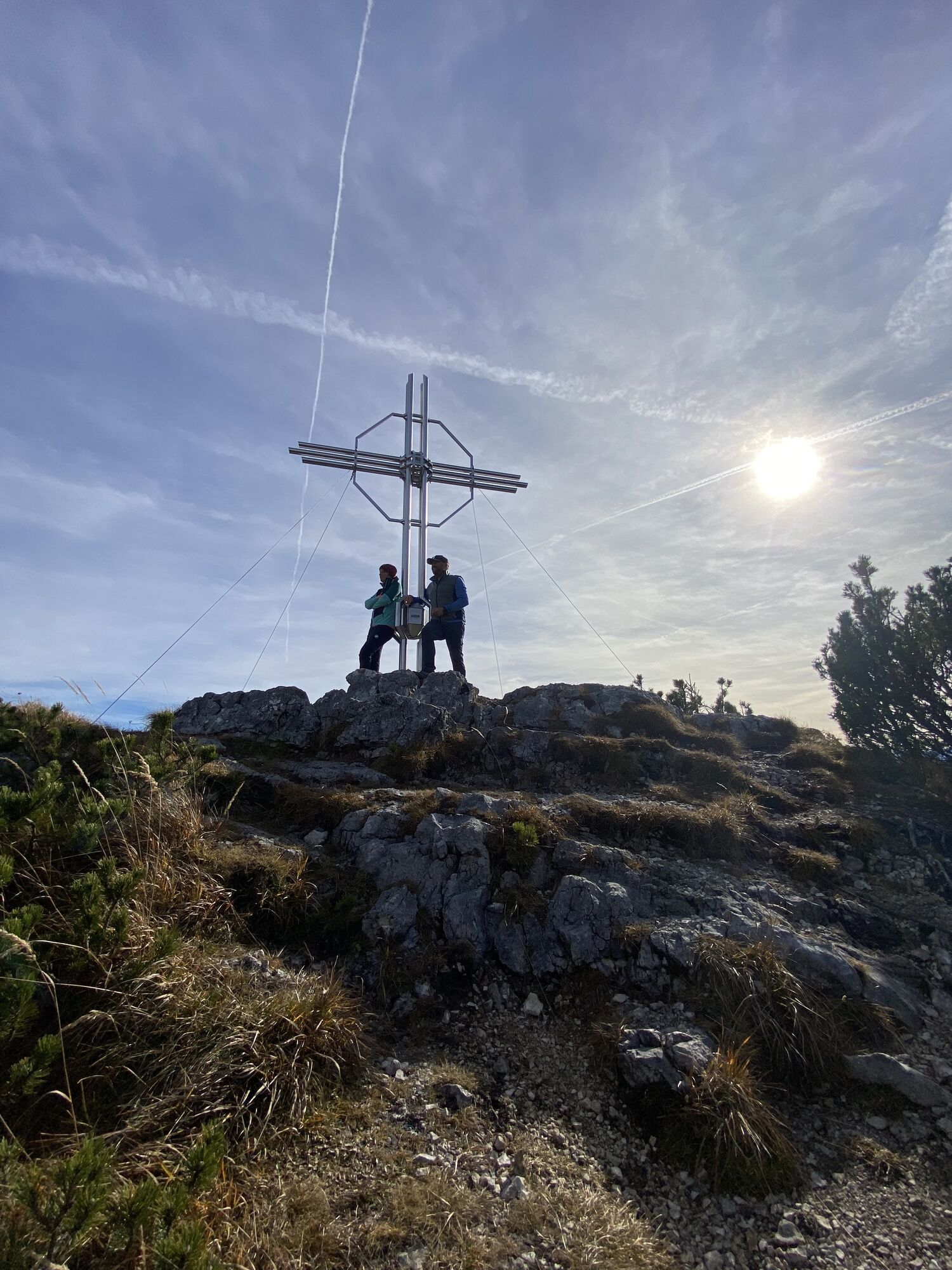
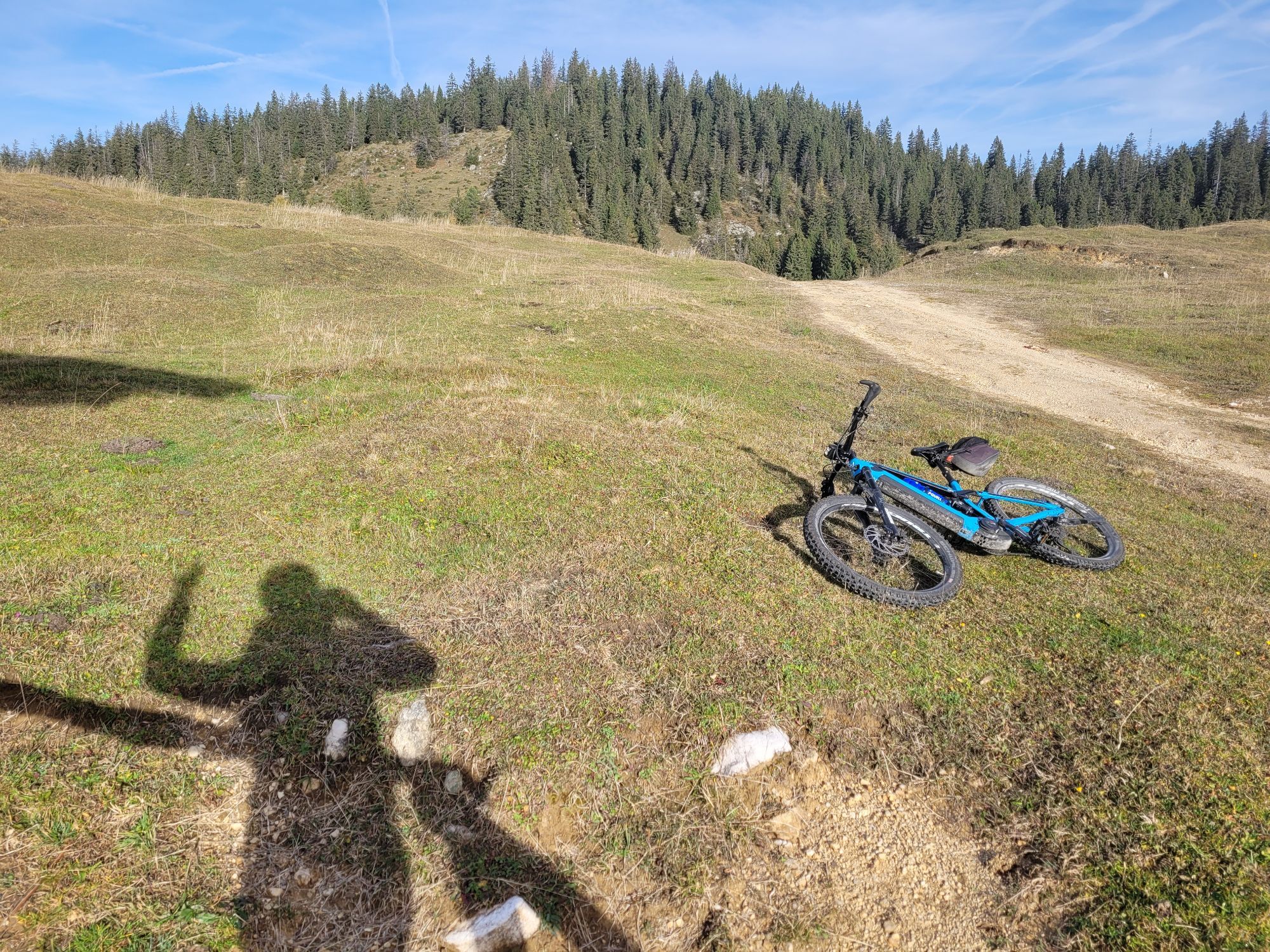
 © Sven KrieblinErstellt am 01.11.2025
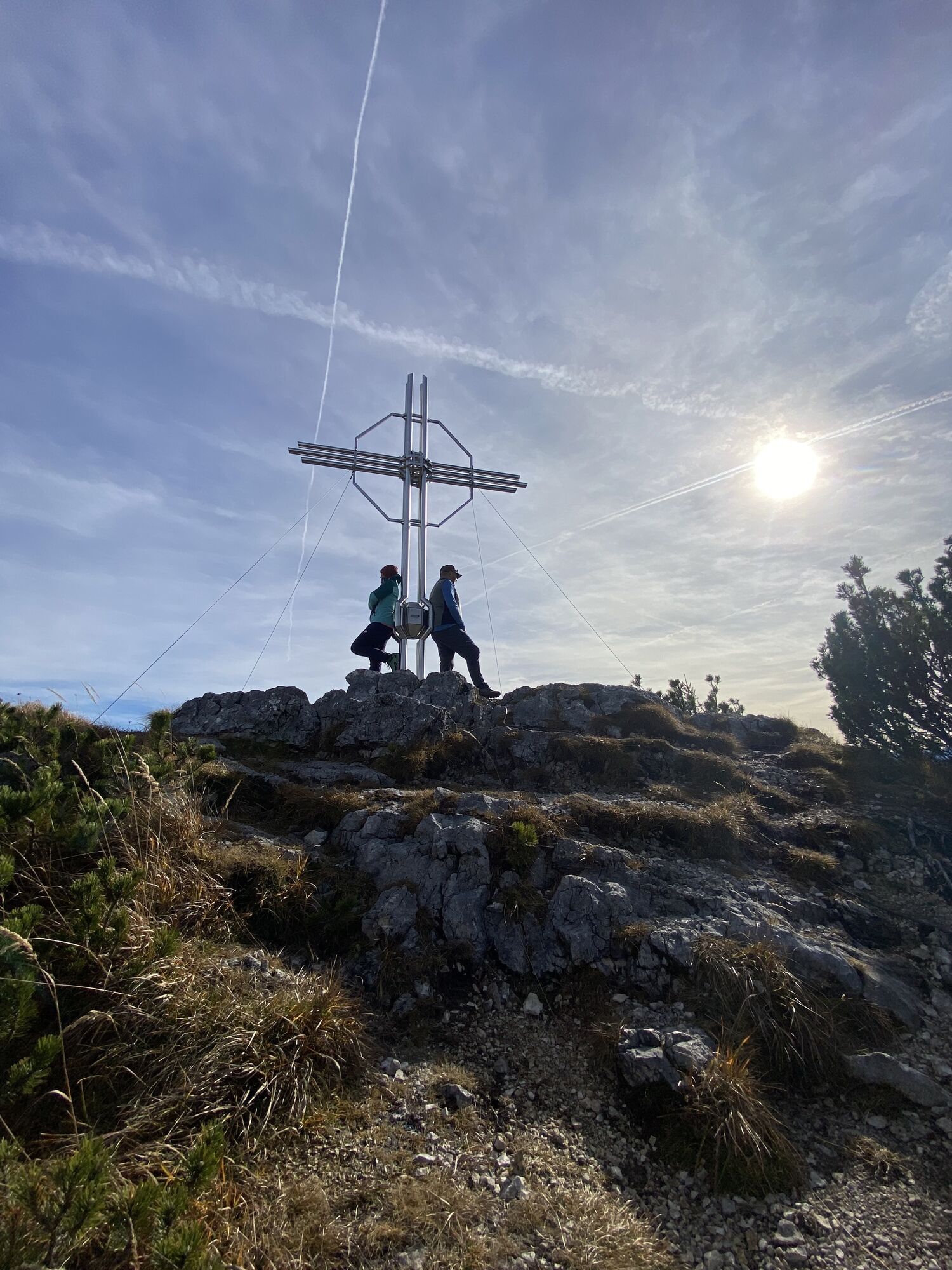
 © Sven KrieblinErstellt am 01.11.2025
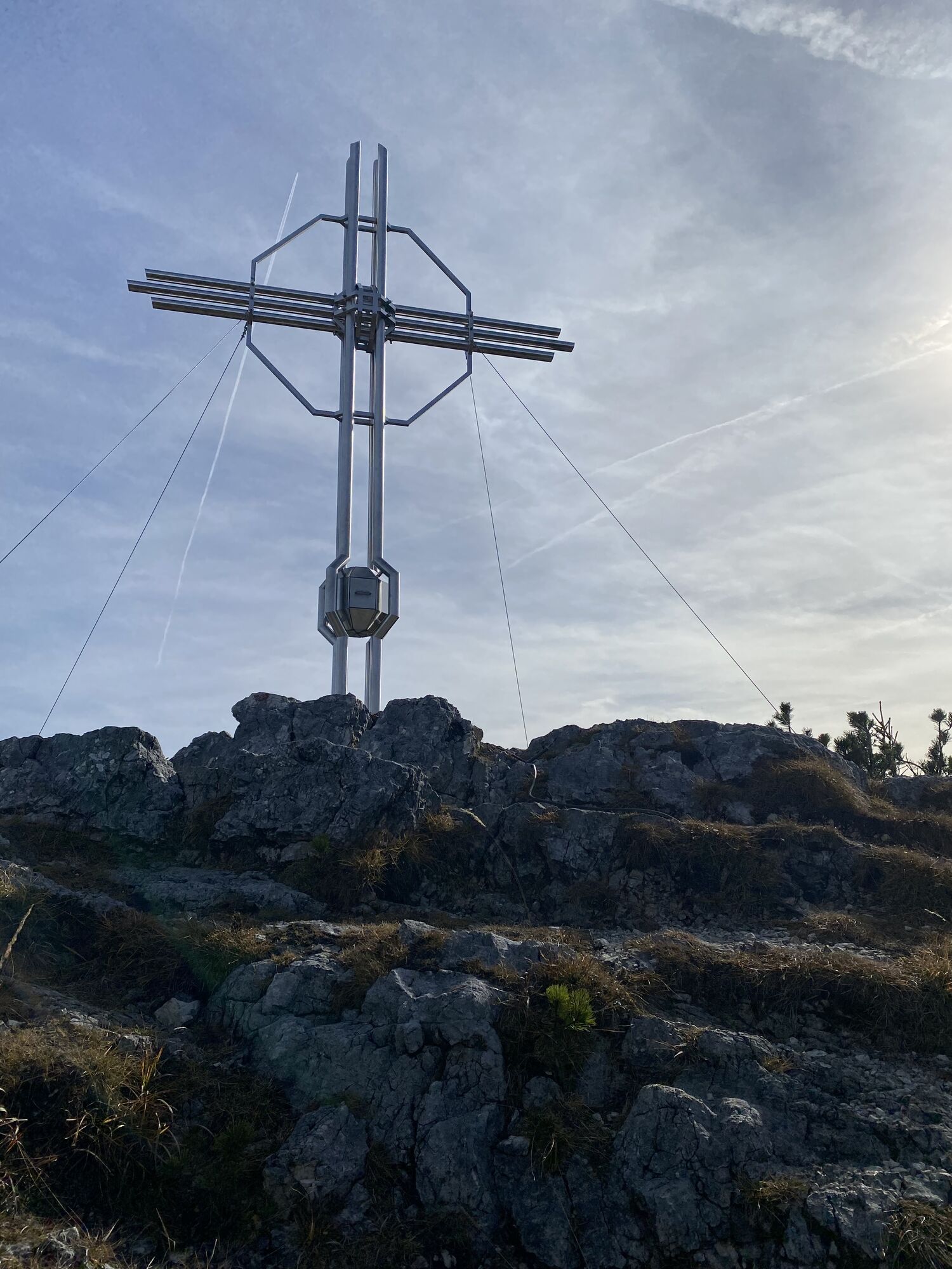
 © Sven KrieblinErstellt am 01.11.2025
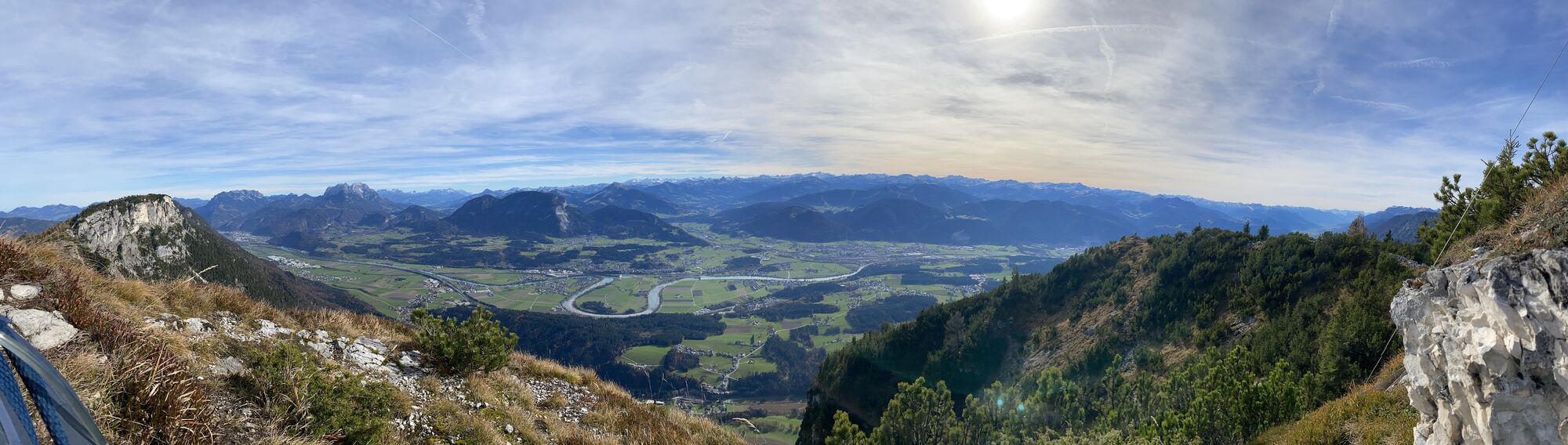
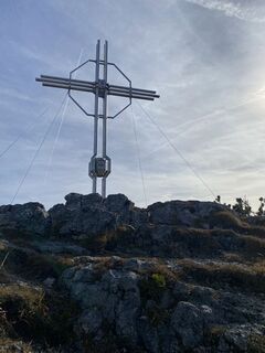 © Sven KrieblinErstellt am 01.11.2025
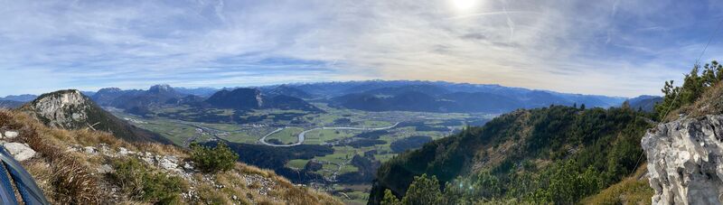 © Sven KrieblinErstellt am 01.11.2025
 © Sven KrieblinErstellt am 01.11.2025
 © Sven KrieblinErstellt am 01.11.2025
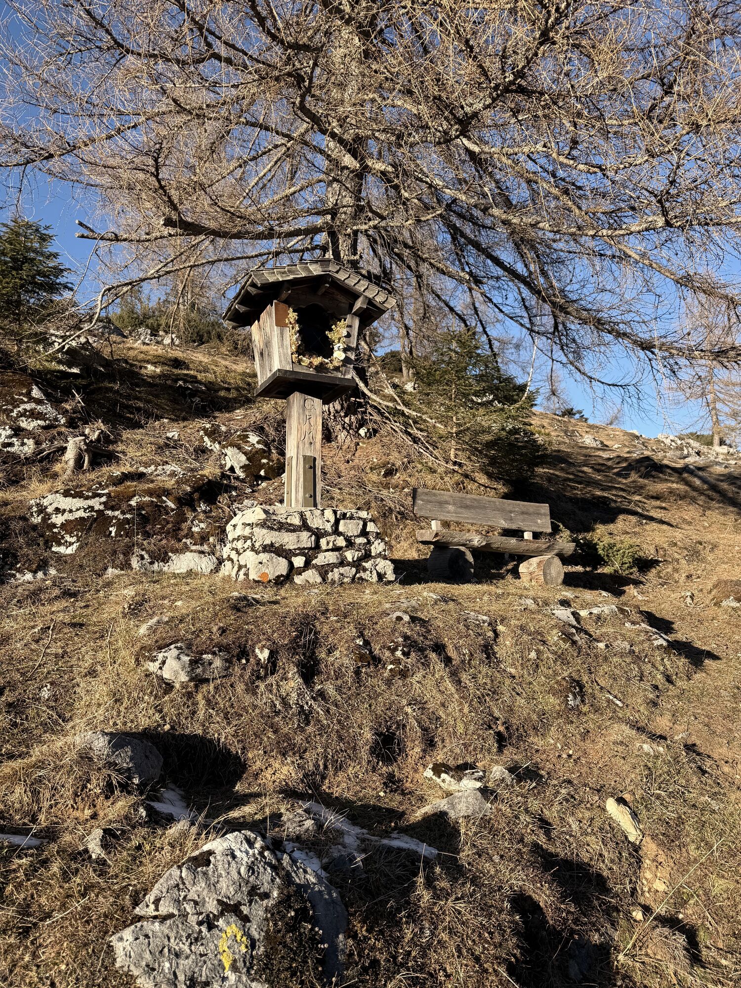
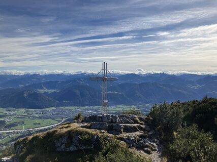 © Meinrad FögerErstellt am 09.10.2024
 © Andreas TaubenbergerErstellt am 30.10.2022
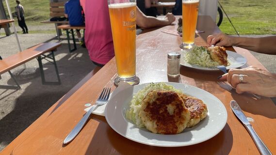 © Andreas TaubenbergerErstellt am 30.10.2022
 © Alexandra KaufmannErstellt am 23.10.2022
 © Alexandra KaufmannErstellt am 23.10.2022
 © Alexandra KaufmannErstellt am 23.10.2022
 © Alexandra KaufmannErstellt am 23.10.2022
 © Alexandra KaufmannErstellt am 23.10.2022
 © Mea MiraErstellt am 28.12.2025
 © Mea MiraErstellt am 28.12.2025
 © Mea MiraErstellt am 28.12.2025
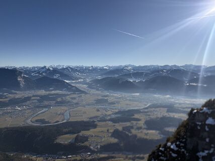 © Mea MiraErstellt am 28.12.2025
 © Mea MiraErstellt am 28.12.2025
 © Mea MiraErstellt am 28.12.2025


Forests, alpine pastures and mountain pines - this conditionally demanding day hike takes you up the ridge over steep paths in a romantic and lonely area. Before continuing, the Höhlensteinhaus lures you...
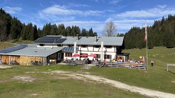
Forests, alpine pastures and mountain pines - this conditionally demanding day hike takes you up the ridge over steep paths in a romantic and lonely area. Before continuing, the Höhlensteinhaus lures you to your first stop. On the way to the Hundsalm you pass the peaks of Köglhörndl and Hundsalmjoch, which reward you with fantastic views. On the way back you can visit the ice cave before you return to the starting point through forests and alpine pastures. An extra detour allows you to stop at the Almgasthof Buchacker.
Snacks (e.g. fruit, muesli bars, wholemeal breads) and drinks (allow for sufficient liquid)
First aid equipment
Mobile phone with full battery
Hiking map and guide literature
Sun protection (sunscreen and glasses, cap)
Bivouac bag
From the Inntal motorway A12, exit Langkampfen/Kirchbichl at the roundabout towards Niederbreitenbach. Turn right into Schmiedweg and park in the settlement Parken.
By train to Kufstein or Wörgl. From there, take the Regiobus 4068 to Wörgl or Kufstein and get off at the Niederbreitenbach Kapelle stop. With the KufsteinerlandCard within the region bus free of charge.
Niederbreitenbach
Webcams der Tour
Thiersee - Mitterland - Schneeberglifte
Thiersee - Mitterland - Schneeberglifte
Thiersee - Mitterland - Schneeberglifte
Thiersee - Mitterland - Schneeberglifte
Thiersee - Mitterland - Schneeberglifte
Pendlinghaus - Kufstein
Pendlinghaus - Kufstein
Thiersee - Mitterland - Schneeberglifte
Langlaufzentrum Schwoich
Tirolina
Beliebte Touren in der Nähe
- 4,5
Über Hintersteinersee und Walleralm aufs Hochegg
leichtWanderung 12,2 km - 4,2
Bergdoktor Wohnhaus "Gruberhof" (Köpfing Hof) Rundeweg-Söll
leichtWanderung 8,70 km - 4,4
Wanderung um den Hintersteinersee
leichtWanderung 5,29 km - 3,3
Kaisertal Rund-Wanderung
mittelWanderung 13,9 km - 4,7
Hintersteinersee
mittelWanderung 9,87 km - 4,8
Rosskopf
leichtWanderung 7,02 km - 2,6
Kundler Klamm
leichtWanderung 6,33 km - 5,0
Auerspitz & Soinsee (Rundwanderung)
mittelWanderung 14,1 km - 4,7
Seestüberl Walleralm
mittelWanderung 6,60 km - 5,0
Tiefenbachklamm
leichtWanderung 12,2 km

Wandern & Tracking


Verpasse keine Angebote und Inspirationen für deinen nächsten Urlaub
Deine E-Mail-Adresse wurde in den Verteiler eingetragen.